Sutherland is a census-designated place in northeastern Millard County, Utah, United States. The population was 165 at the 2010 census.
| Name: | Sutherland CDP |
|---|---|
| LSAD Code: | 57 |
| LSAD Description: | CDP (suffix) |
| State: | Utah |
| County: | Millard County |
| Founded: | 1909 |
| Elevation: | 4,626 ft (1,410 m) |
| Total Area: | 2.2 sq mi (6 km²) |
| Land Area: | 2.2 sq mi (6 km²) |
| Water Area: | 0.0 sq mi (0 km²) |
| Total Population: | 165 |
| Population Density: | 75/sq mi (29/km²) |
| ZIP code: | 84624 |
| Area code: | 435 |
| FIPS code: | 4974590 |
| GNISfeature ID: | 2584778 |
Online Interactive Map
Click on ![]() to view map in "full screen" mode.
to view map in "full screen" mode.
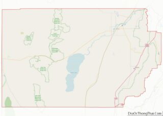
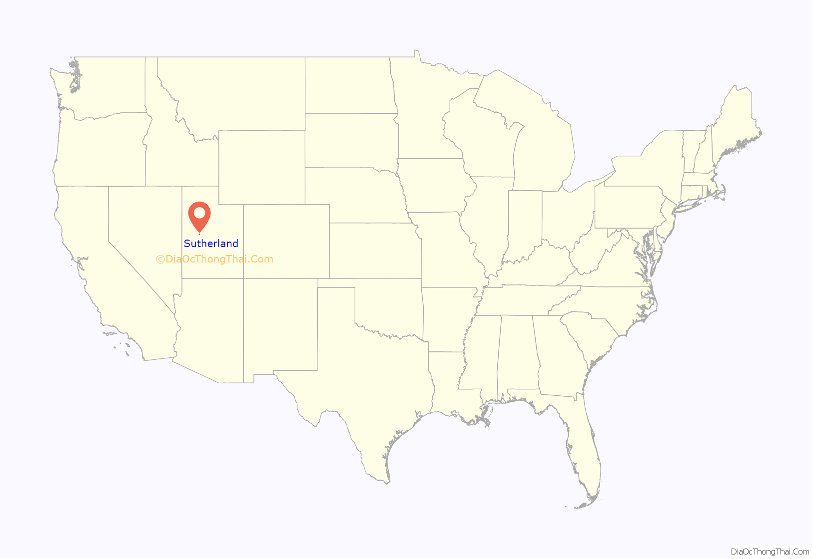
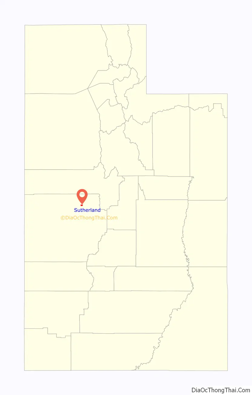
Sutherland location map. Where is Sutherland CDP?
History
In 1909, a tract of thousands of acres of land northwest of the new city of Delta became available for agricultural settlement, under the terms of the Carey Act. Settlers began to cluster around the property of Myron Abbott, regarded as founder of the community, which was known early on as North Tract or West Delta. By 1912, there were 80 families with 121 children of school age in the area. Tired of waiting for county officials, private citizens built a public schoolhouse in 1913. Then residents petitioned for the creation of a voting precinct and school district. The name Sutherland was chosen in honor of Utah political figure George Sutherland, who was serving as a United States senator at the time. The Sutherland elementary school remained open until the 1970s.
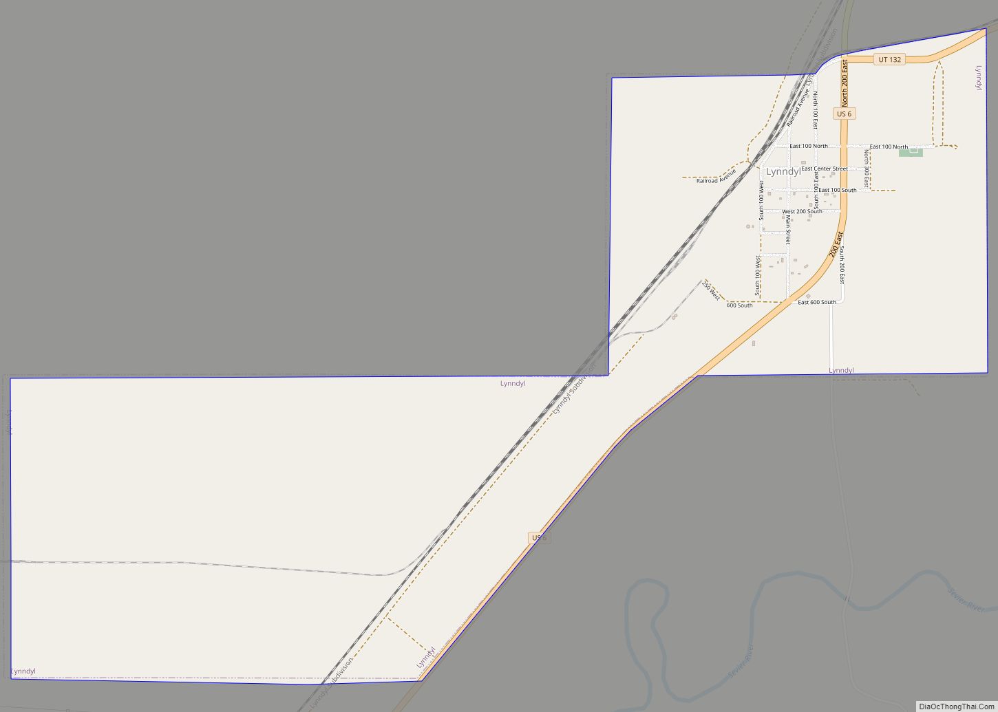
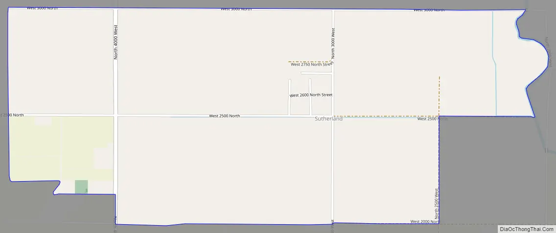
Sutherland Road Map
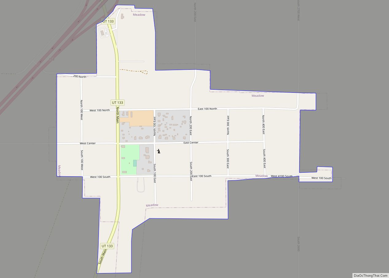
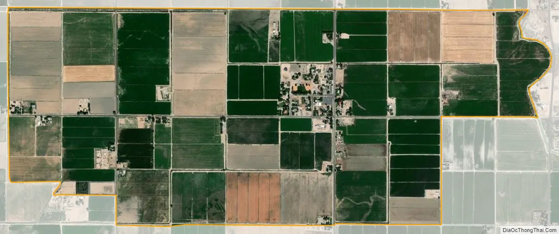
Sutherland city Satellite Map
Geography
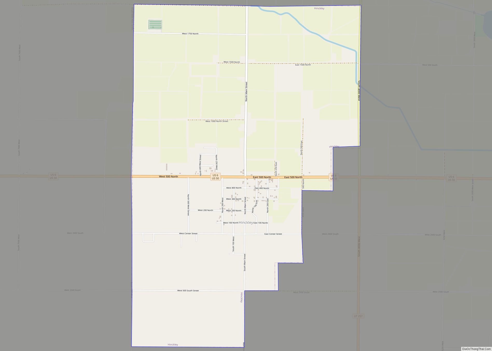
Sutherland is located in the north central part of Millard County, some 4 miles (6.4 km) northwest of the city of Delta across the Sevier River. Hinckley lies about 6 miles (9.7 km) to the southwest, and Gunnison Bend Reservoir is 5 miles (8.0 km) south. Sutherland is one of a number of small farming communities in the area, including Woodrow and Sugarville just to the north. About 9 miles (14 km) to the west is the site of the historic Topaz War Relocation Center.
See also
Map of Utah State and its subdivision: Map of other states:- Alabama
- Alaska
- Arizona
- Arkansas
- California
- Colorado
- Connecticut
- Delaware
- District of Columbia
- Florida
- Georgia
- Hawaii
- Idaho
- Illinois
- Indiana
- Iowa
- Kansas
- Kentucky
- Louisiana
- Maine
- Maryland
- Massachusetts
- Michigan
- Minnesota
- Mississippi
- Missouri
- Montana
- Nebraska
- Nevada
- New Hampshire
- New Jersey
- New Mexico
- New York
- North Carolina
- North Dakota
- Ohio
- Oklahoma
- Oregon
- Pennsylvania
- Rhode Island
- South Carolina
- South Dakota
- Tennessee
- Texas
- Utah
- Vermont
- Virginia
- Washington
- West Virginia
- Wisconsin
- Wyoming