West Haven is a city in Weber County, Utah, United States. The population was 10,272 at the 2010 census. It was incorporated on July 1, 1991, combining the unincorporated communities of Kanesville and Wilson.
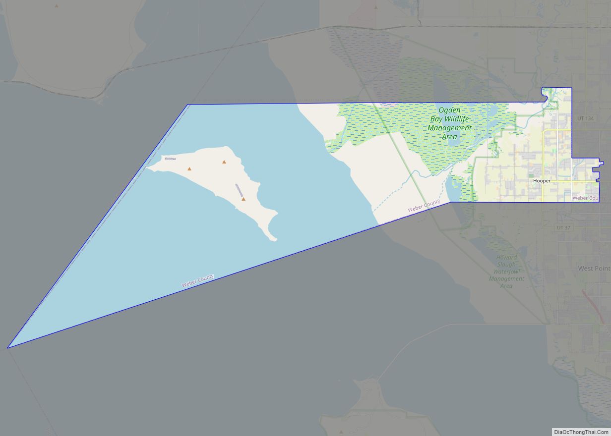
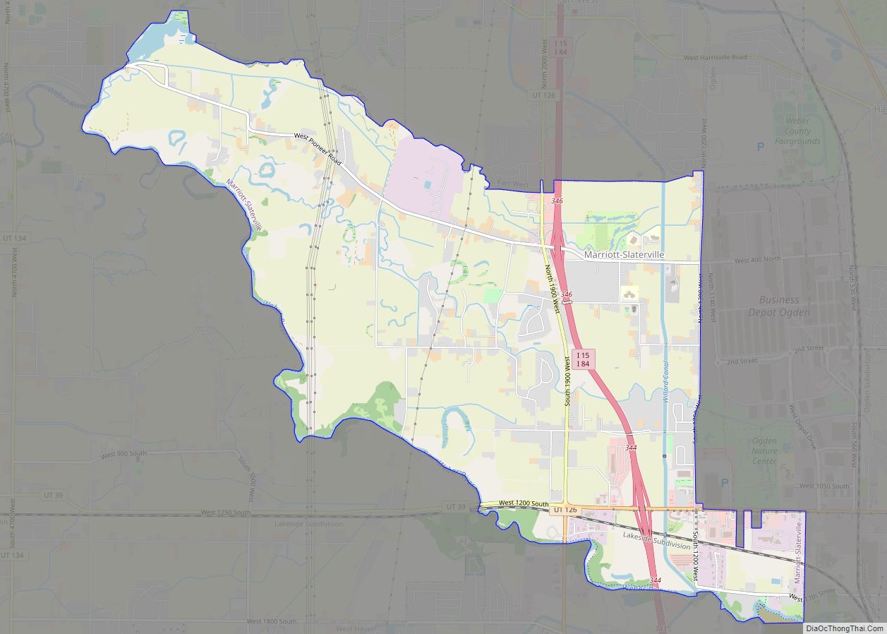
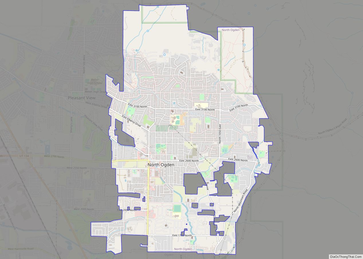
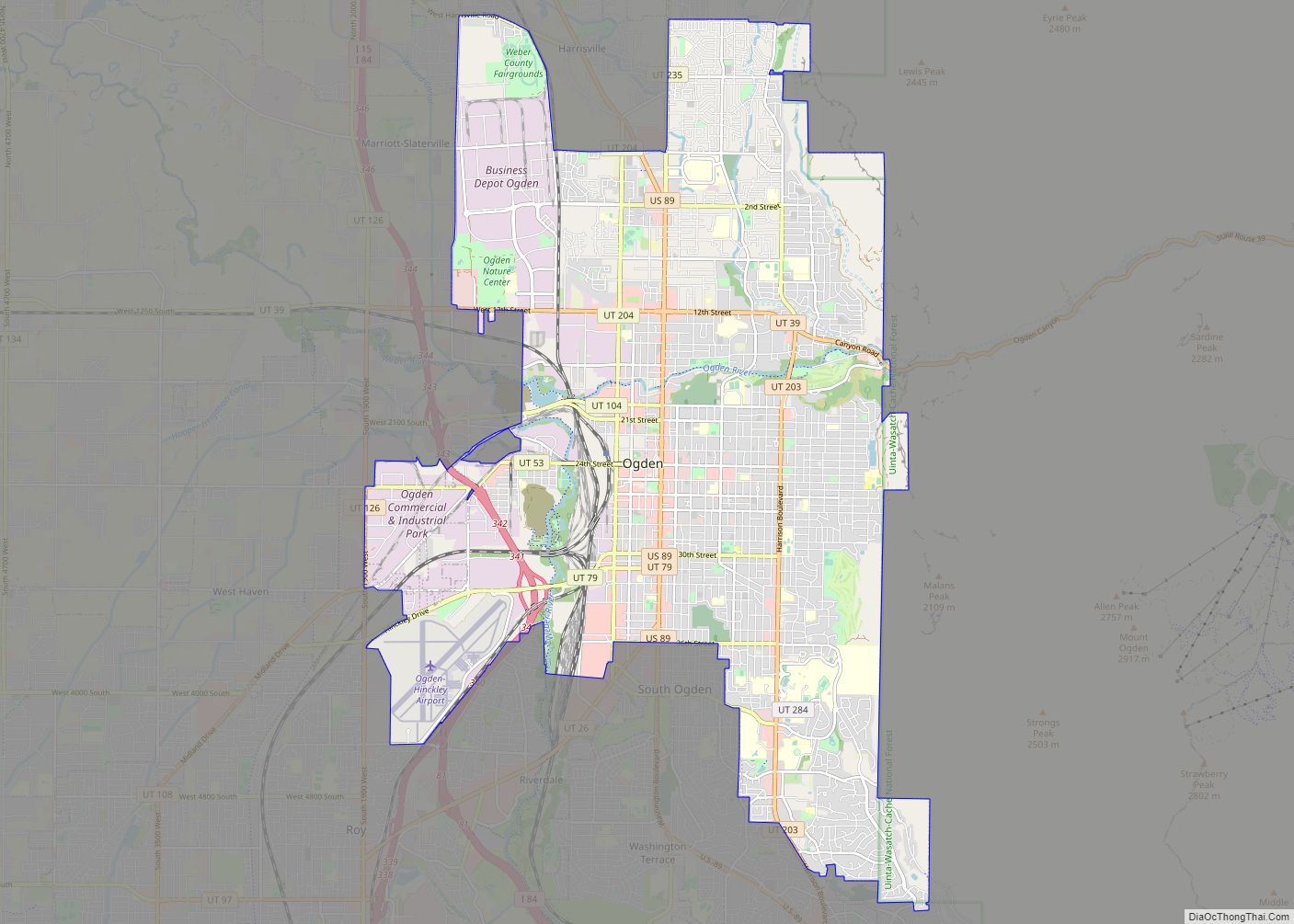
West Haven is located approximately 35 miles (56 km) north of Salt Lake City, west of the Wasatch Mountains in northern Utah. The confluence of the Weber and Ogden Rivers is located inside the northeastern portion of the city. The city is bordered on the east by Ogden, on the south by Roy, on the west by Hooper, and on the north by Marriott-Slaterville. It is part of the Ogden–Clearfield, Utah Metropolitan Statistical Area.
West Haven has a city park which includes a historical monument. Plans provide for a River Parkway Trail that would include a fishing bridge, a pedestrian tunnel under 21st Street, picnic tables, places to rest and points of historical interest. Plans have this trail connect with the Weber County Centennial Trail. The current mayor is Rob Vanderwood who started his term on January 1, 2022.
| Name: | West Haven city |
|---|---|
| LSAD Code: | 25 |
| LSAD Description: | city (suffix) |
| State: | Utah |
| County: | Weber County |
| Incorporated: | July 1, 1991 |
| Elevation: | 4,272 ft (1,302 m) |
| Total Area: | 10.64 sq mi (27.56 km²) |
| Land Area: | 10.64 sq mi (27.55 km²) |
| Water Area: | 0.00 sq mi (0.01 km²) |
| Total Population: | 10,272 |
| Population Density: | 1,514.57/sq mi (584.77/km²) |
| ZIP code: | 84401 |
| Area code: | 385, 801 |
| FIPS code: | 4982930 |
| GNISfeature ID: | 1455859 |
Online Interactive Map
Click on ![]() to view map in "full screen" mode.
to view map in "full screen" mode.
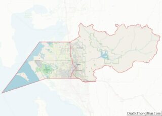
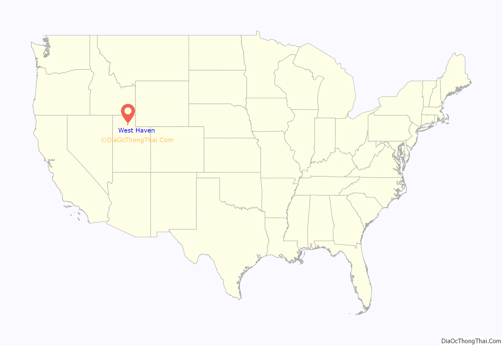
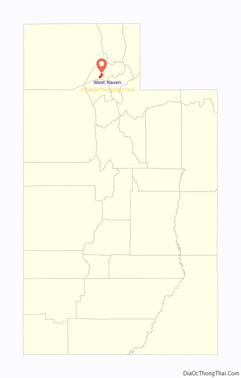
West Haven location map. Where is West Haven city?
History
Kanesville
The first settlers in what would become Kanesville arrived in 1868. At the time the area was known as Northwest Hooper. Kanesville was named for Thomas L. Kane. The name Kanesville was adopted when an LDS Ward was first organized there in 1882. The first bishop was Peter B. Peterson.
The name is retained by Kanesville School, a K-6 school in West Haven. Until October 2010 the Stake of The Church of Jesus Christ of Latter-day Saints in the city was the Kanesville Utah Stake. On October 17, 2010, the Kanesville Utah Stake was divided and a new stake, the West Haven Utah Stake, was formed. The old stake retained the Kanesville name.
Wilson
Wilson, Utah was formed in 1854. It was named after the four Wilson brothers who began farming in the area in 1854. An irrigation company was formed in 1879 and an LDS Ward was organized in 1882. The first bishop was Brigham Heber Bingham. The frist settler to live in the that became Wilson was John Martin. He moved from Ogden and was the frist to move west of the Weber River in 1856. The Wilson Brothers started farming in the area west of the Weber River in 1854, but lived in Ogden. (History from the book, “Mormon John Martin” Utah Pooneer Family History copyright 1969 by Drucilla H. McFarkand. Carr Printing.)
City of West Haven
West Haven installed a citywide sewer system in 2002. In 1994 the city purchased 40 acres for a park which was then developed with playground equipment and sports fields. There is also a historical marker in the park.
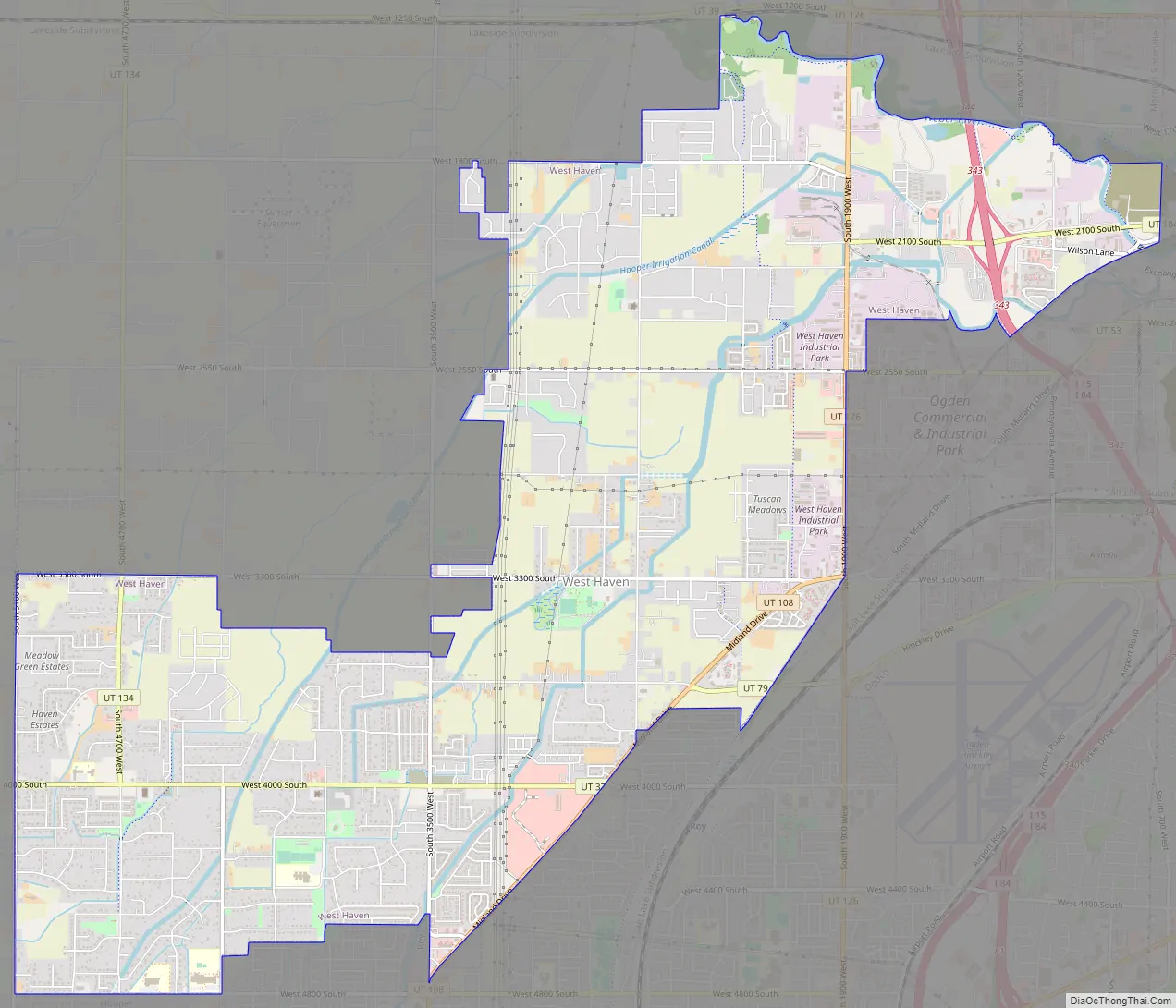
West Haven Road Map
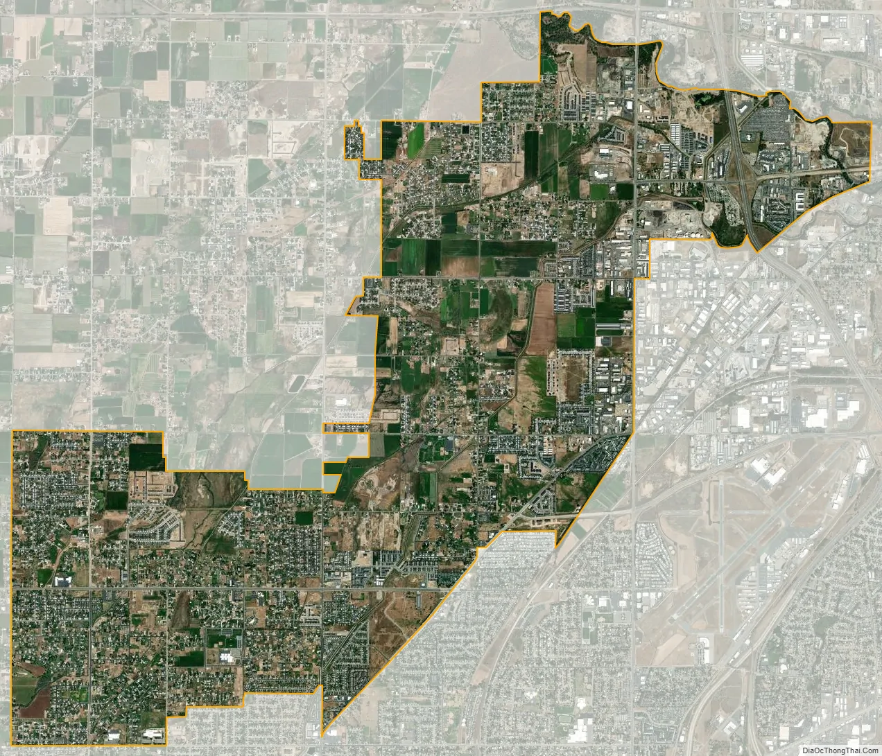
West Haven city Satellite Map
Geography
According to the United States Census Bureau, the city has a total area of 10.2 square miles (26.3 km), all land.
See also
Map of Utah State and its subdivision: Map of other states:- Alabama
- Alaska
- Arizona
- Arkansas
- California
- Colorado
- Connecticut
- Delaware
- District of Columbia
- Florida
- Georgia
- Hawaii
- Idaho
- Illinois
- Indiana
- Iowa
- Kansas
- Kentucky
- Louisiana
- Maine
- Maryland
- Massachusetts
- Michigan
- Minnesota
- Mississippi
- Missouri
- Montana
- Nebraska
- Nevada
- New Hampshire
- New Jersey
- New Mexico
- New York
- North Carolina
- North Dakota
- Ohio
- Oklahoma
- Oregon
- Pennsylvania
- Rhode Island
- South Carolina
- South Dakota
- Tennessee
- Texas
- Utah
- Vermont
- Virginia
- Washington
- West Virginia
- Wisconsin
- Wyoming