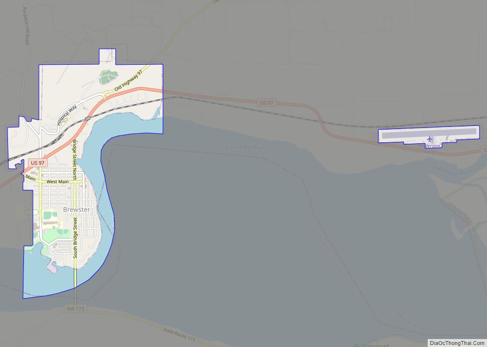
Brewster is a city in Okanogan County, Washington, United States. The population was 2,370 at the 2010 census.
| Name: | Brewster city |
|---|---|
| LSAD Code: | 25 |
| LSAD Description: | city (suffix) |
| State: | Washington |
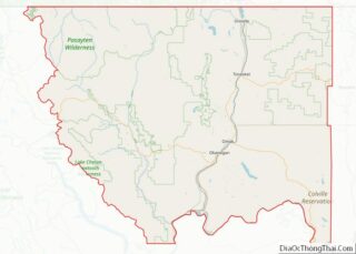
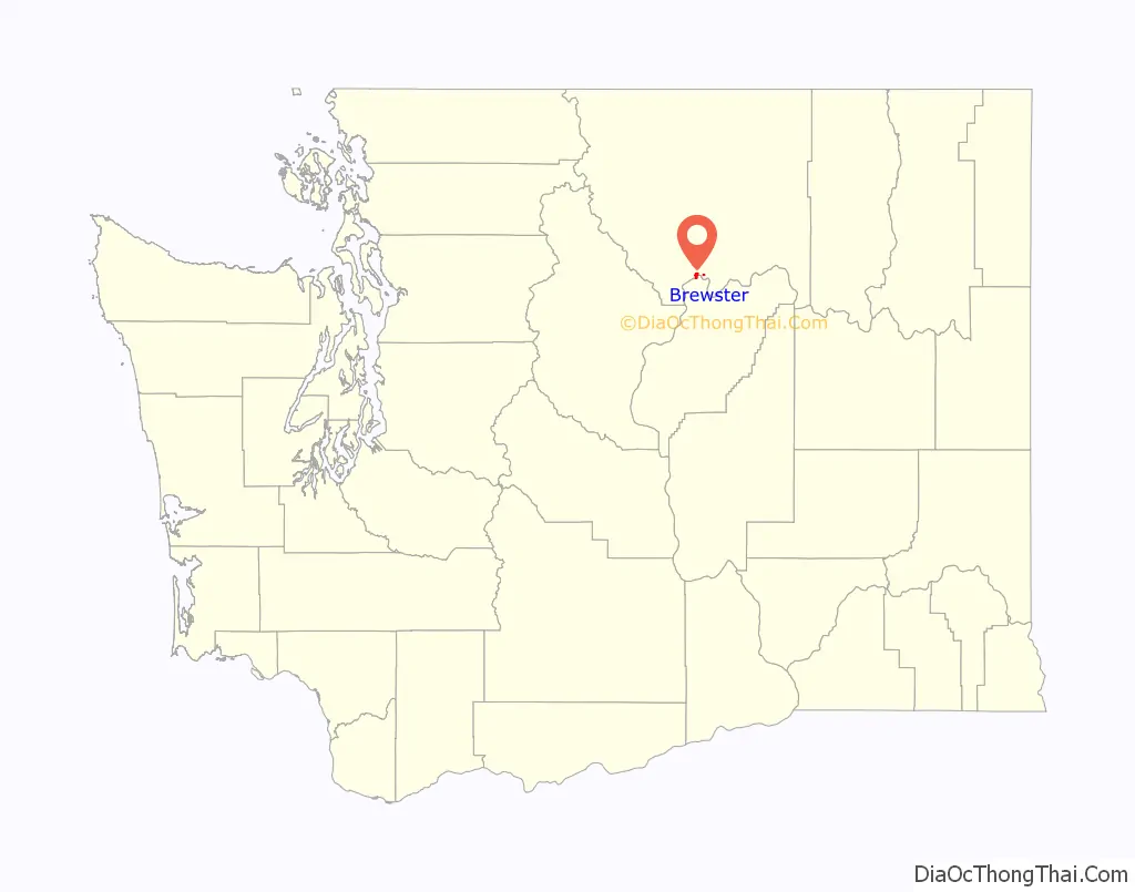
| County: | Okanogan County |
| Elevation: | 814 ft (248 m) |
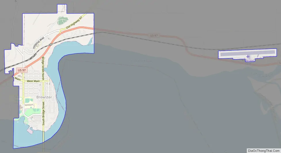
| Total Area: | 1.51 sq mi (3.90 km²) |
| Land Area: | 1.15 sq mi (2.98 km²) |
| Water Area: | 0.35 sq mi (0.92 km²) |
| Total Population: | 2,370 |
| Population Density: | 2,046.01/sq mi (789.78/km²) |
| ZIP code: | 98812 |
| Area code: | 509 |
| FIPS code: | 5307835 |
| GNISfeature ID: | 1516938 |
Online Interactive Map
Click on ![]() to view map in "full screen" mode.
to view map in "full screen" mode.
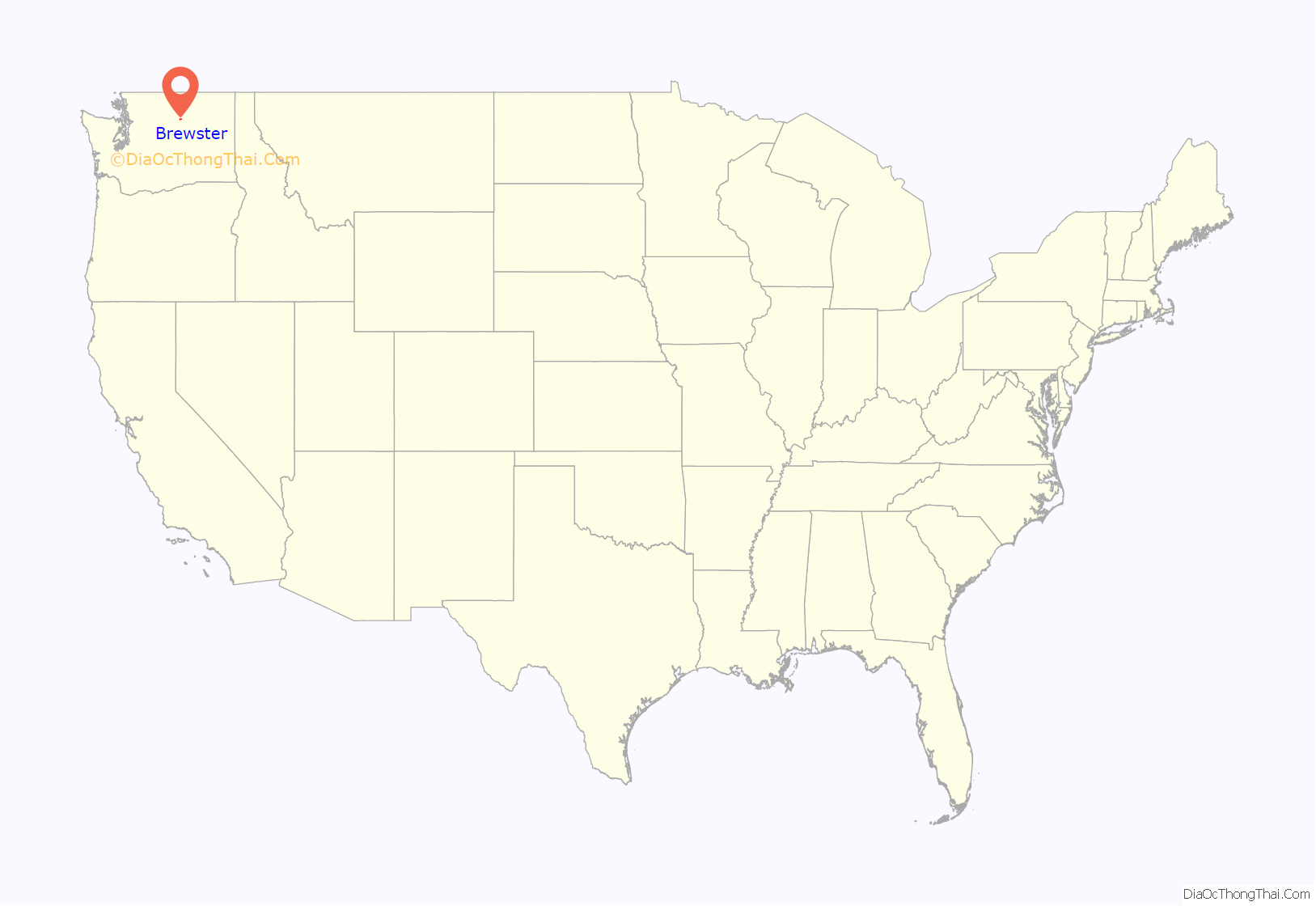
Brewster location map. Where is Brewster city?
History
Brewster was founded in 1896. A post office called Brewster has been in operation since 1898. The city derives its name from John Bruster, a pioneer settler.
Brewster Road Map
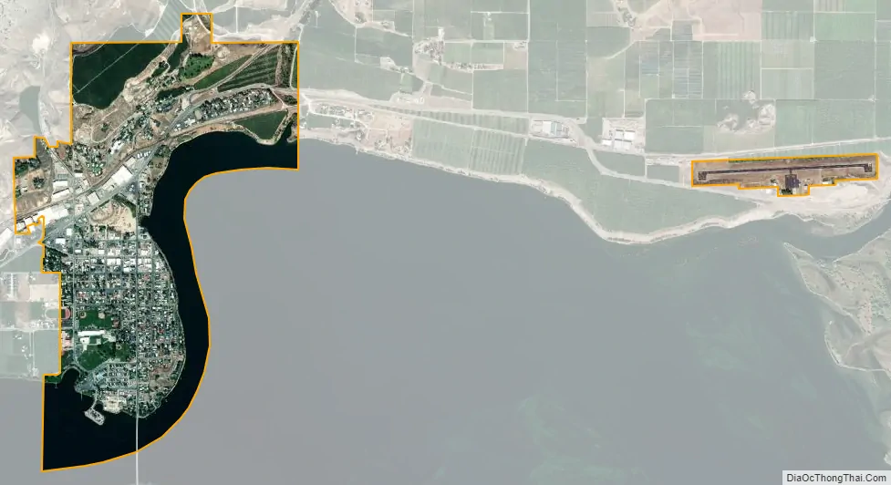
Brewster city Satellite Map
Geography
Brewster is located on the confluence of the Okanogan and Columbia Rivers.
According to the United States Census Bureau, the city has a total area of 1.19 square miles (3.08 km), all of it land. The 30–bed Three Rivers Hospital serves the city as the largest hospital in the county. The radio telescope located in Brewster is the northernmost of ten dishes comprising the Very Long Baseline Array.
See also
Map of Washington State and its subdivision:- Adams
- Asotin
- Benton
- Chelan
- Clallam
- Clark
- Columbia
- Cowlitz
- Douglas
- Ferry
- Franklin
- Garfield
- Grant
- Grays Harbor
- Island
- Jefferson
- King
- Kitsap
- Kittitas
- Klickitat
- Lewis
- Lincoln
- Mason
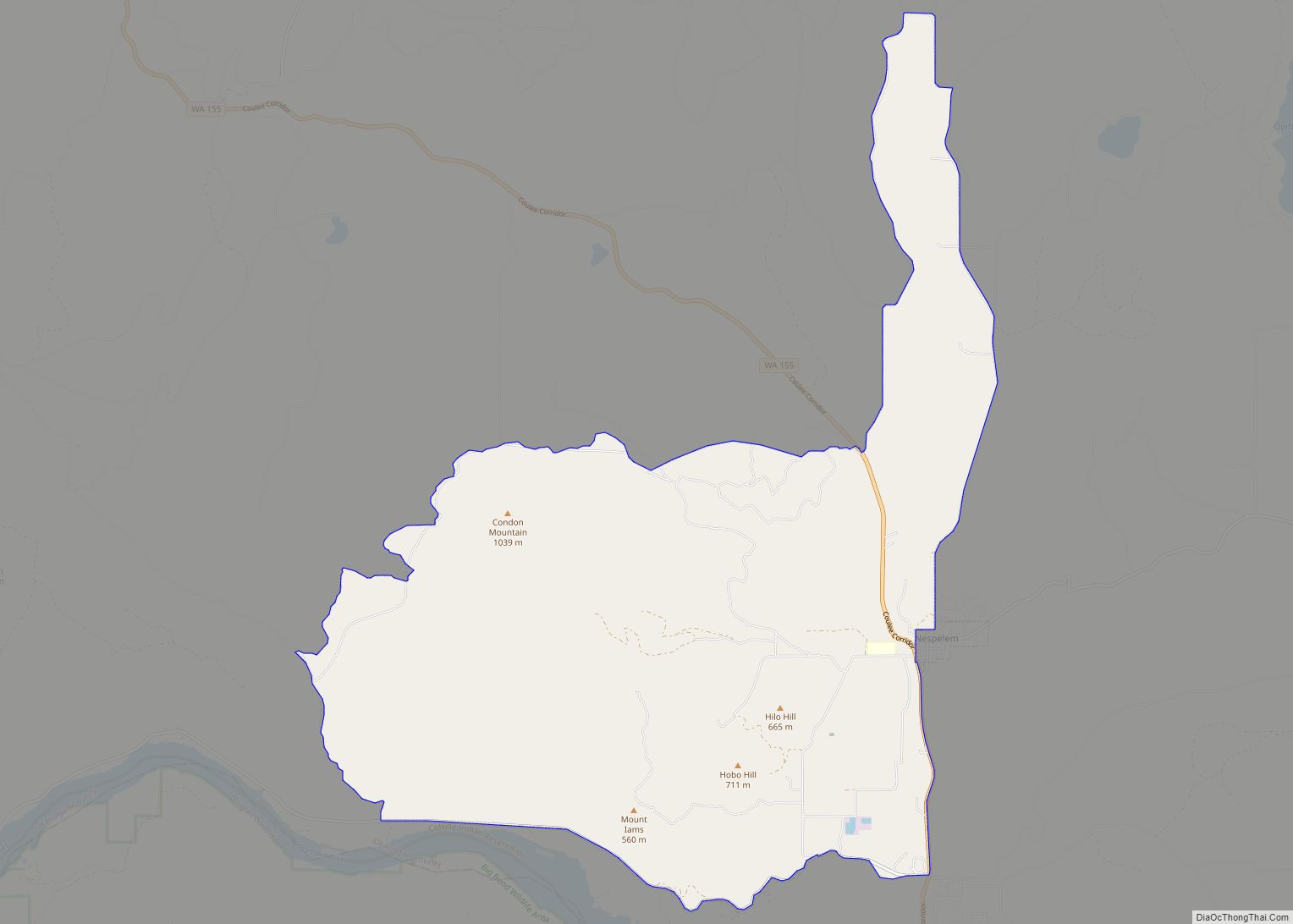
- Okanogan
- Pacific
- Pend Oreille
- Pierce
- San Juan
- Skagit
- Skamania
- Snohomish
- Spokane
- Stevens
- Thurston
- Wahkiakum
- Walla Walla
- Whatcom
- Whitman
- Yakima
- Alabama
- Alaska
- Arizona
- Arkansas
- California
- Colorado
- Connecticut
- Delaware
- District of Columbia
- Florida
- Georgia
- Hawaii
- Idaho
- Illinois
- Indiana
- Iowa
- Kansas
- Kentucky
- Louisiana
- Maine
- Maryland
- Massachusetts
- Michigan
- Minnesota
- Mississippi
- Missouri
- Montana
- Nebraska
- Nevada
- New Hampshire
- New Jersey
- New Mexico
- New York
- North Carolina
- North Dakota
- Ohio
- Oklahoma
- Oregon
- Pennsylvania
- Rhode Island
- South Carolina
- South Dakota
- Tennessee
- Texas
- Utah
- Vermont
- Virginia
- Washington
- West Virginia
- Wisconsin
- Wyoming