Cavalero (also named Cavelero) is a census-designated place (CDP) in Snohomish County, Washington, United States. The population was 4,660 at the 2010 census. Cavalero was created out of the former West Lake Stevens CDP in 2010.
| Name: | Cavalero CDP |
|---|---|
| LSAD Code: | 57 |
| LSAD Description: | CDP (suffix) |
| State: | Washington |
| County: | Snohomish County |
| Total Area: | 1.639 sq mi (4.24 km²) |
| Land Area: | 1.638 sq mi (4.24 km²) |
| Water Area: | 0.001 sq mi (0.003 km²) |
| Total Population: | 4,660 |
| Population Density: | 2,844.9/sq mi (1,098.4/km²) |
| FIPS code: | 5310645 |
| GNISfeature ID: | 2584956 |
Online Interactive Map
Click on ![]() to view map in "full screen" mode.
to view map in "full screen" mode.
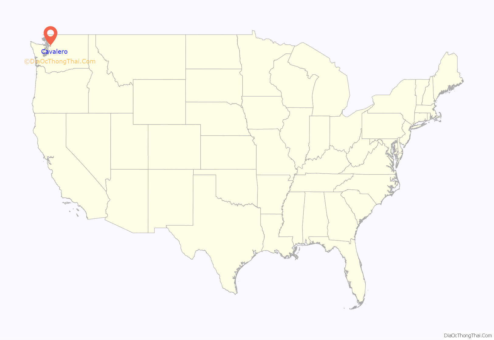
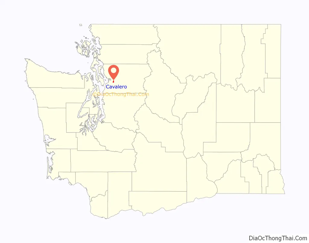
Cavalero location map. Where is Cavalero CDP?
History
Prior to its residential development in the 2000s, the Cavalero Hill area was proposed for the site of a large retail center similar to Frontier Village in Lake Stevens.
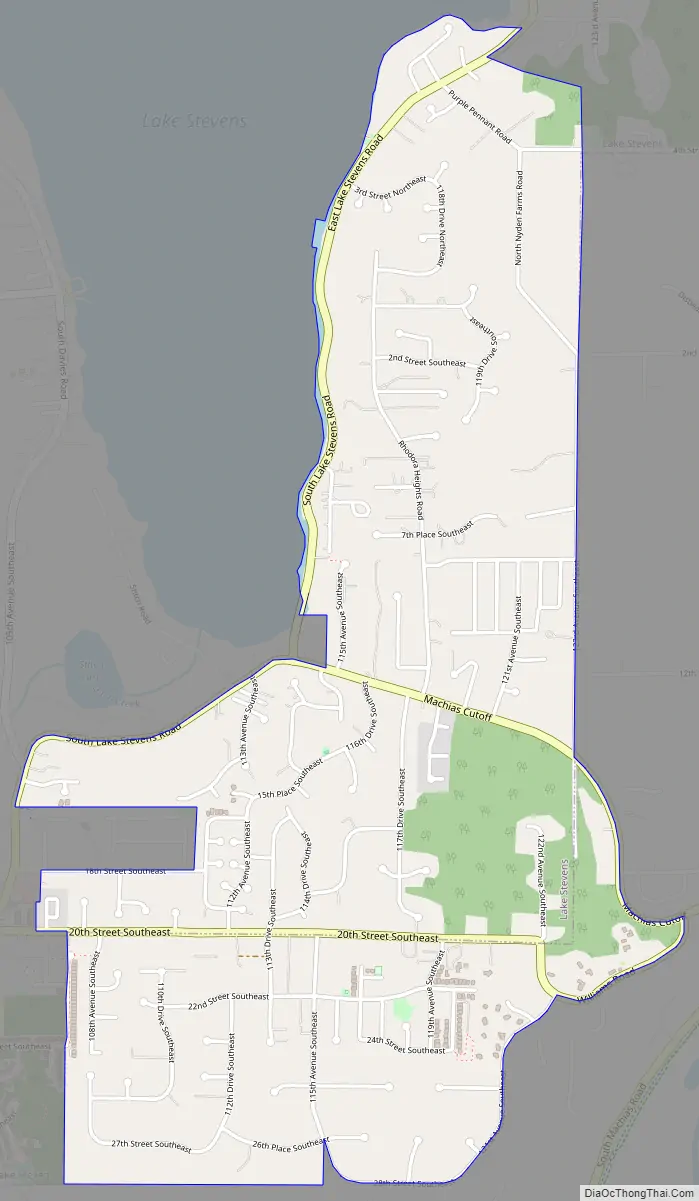
Cavalero Road Map
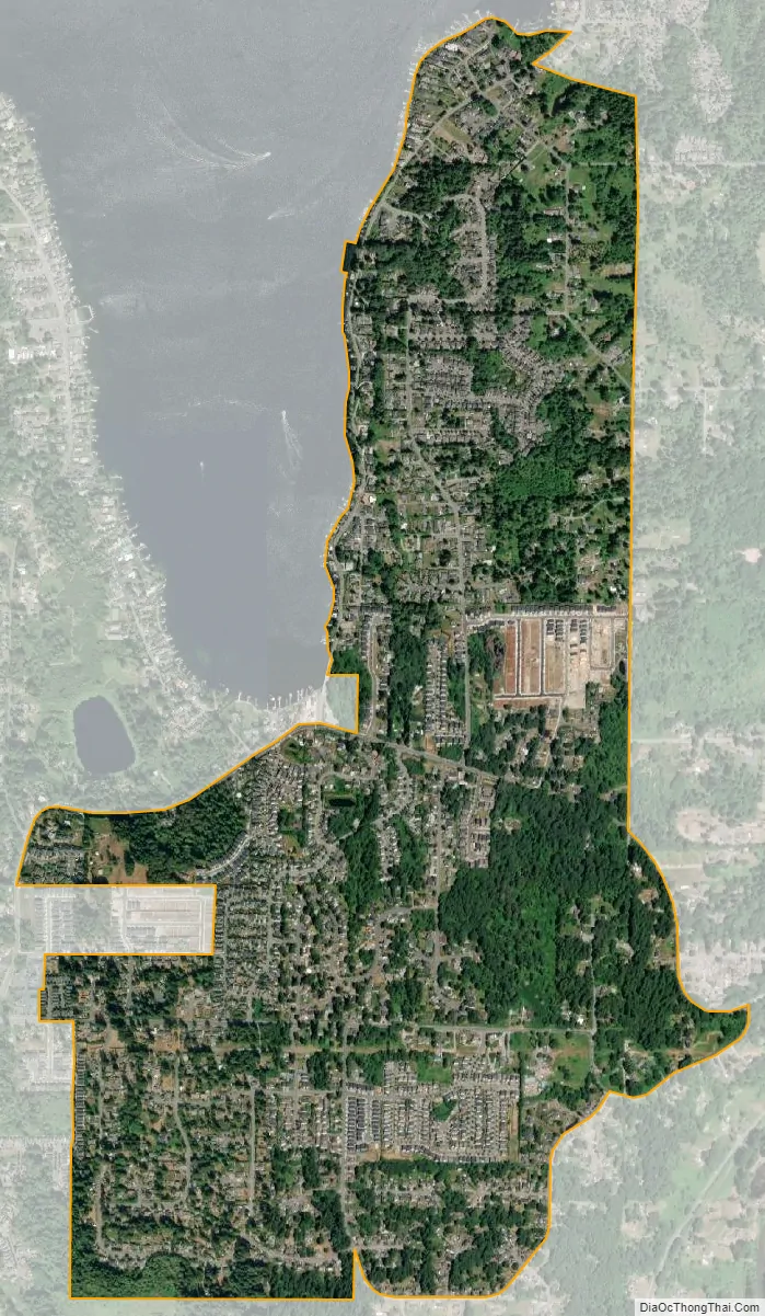
Cavalero city Satellite Map
Geography
Cavalero is located at 47°59′3″N 122°4′32″W / 47.98417°N 122.07556°W / 47.98417; -122.07556 (47.984288, -122.075542).
According to the United States Census Bureau, the CDP has a total area of 1.639 square miles (4.24 km), of which, 1.638 square miles (4.24 km) of it is land and 0.001 square miles (0.003 km) of it (0.06%) is water.
See also
Map of Washington State and its subdivision:- Adams
- Asotin
- Benton
- Chelan
- Clallam
- Clark
- Columbia
- Cowlitz
- Douglas
- Ferry
- Franklin
- Garfield
- Grant
- Grays Harbor
- Island
- Jefferson
- King
- Kitsap
- Kittitas
- Klickitat
- Lewis
- Lincoln
- Mason
- Okanogan
- Pacific
- Pend Oreille
- Pierce
- San Juan
- Skagit
- Skamania
- Snohomish
- Spokane
- Stevens
- Thurston
- Wahkiakum
- Walla Walla
- Whatcom
- Whitman
- Yakima
- Alabama
- Alaska
- Arizona
- Arkansas
- California
- Colorado
- Connecticut
- Delaware
- District of Columbia
- Florida
- Georgia
- Hawaii
- Idaho
- Illinois
- Indiana
- Iowa
- Kansas
- Kentucky
- Louisiana
- Maine
- Maryland
- Massachusetts
- Michigan
- Minnesota
- Mississippi
- Missouri
- Montana
- Nebraska
- Nevada
- New Hampshire
- New Jersey
- New Mexico
- New York
- North Carolina
- North Dakota
- Ohio
- Oklahoma
- Oregon
- Pennsylvania
- Rhode Island
- South Carolina
- South Dakota
- Tennessee
- Texas
- Utah
- Vermont
- Virginia
- Washington
- West Virginia
- Wisconsin
- Wyoming


