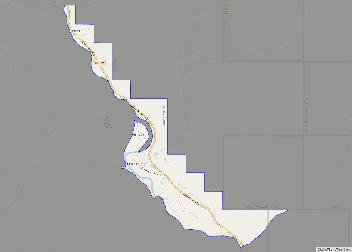
Cliffdell is an unincorporated community in Yakima County, Washington, United States, located approximately 23 miles west of Ellensburg.
The community was originally named Spring Flats and in 1920, was renamed to Cliffdell in honor of Cliff and Della Schott of Seattle. The Schott’s were friends of homesteader Russell Davison who developed much of the town for summer homes. Cliffdell was the site of a temporary army camp once used by Captain William O. Slaughter in 1855.
| Name: | Cliffdell CDP |
|---|---|
| LSAD Code: | 57 |
| LSAD Description: | CDP (suffix) |
| State: | Washington |
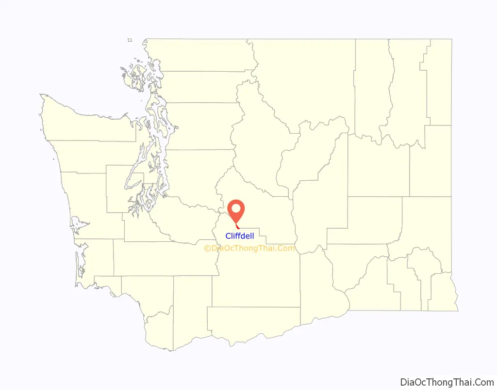
| County: | Yakima County |
| Elevation: | 2,487 ft (758 m) |
| ZIP code: | 98929 |
| Area code: | 509 |
| FIPS code: | 5313015 |
| GNISfeature ID: | 1517860 |
Online Interactive Map
Click on ![]() to view map in "full screen" mode.
to view map in "full screen" mode.
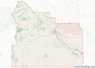
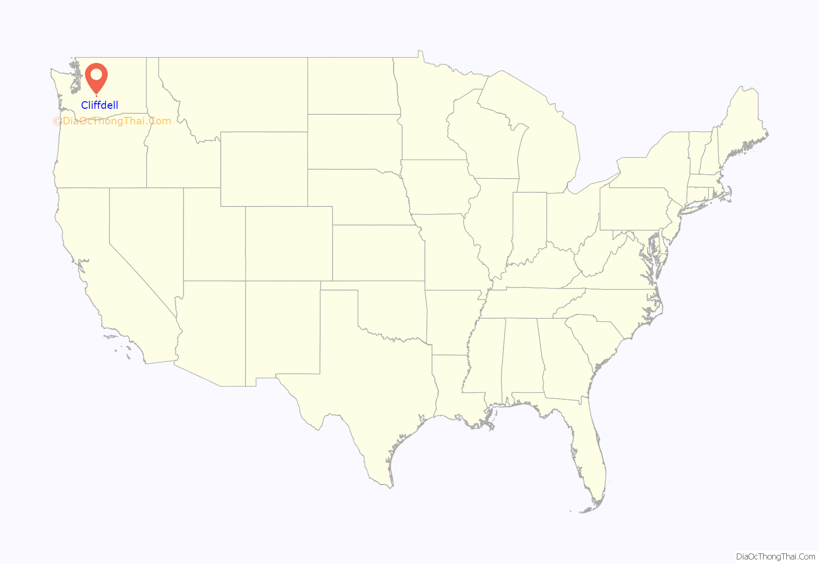
Cliffdell location map. Where is Cliffdell CDP?
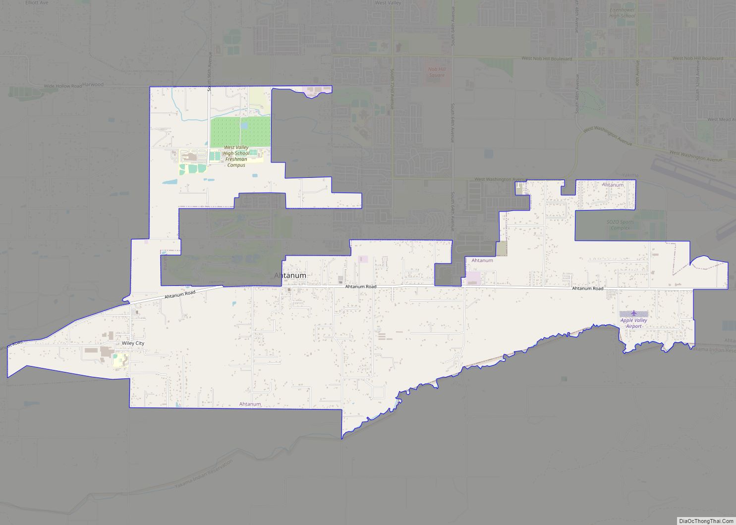
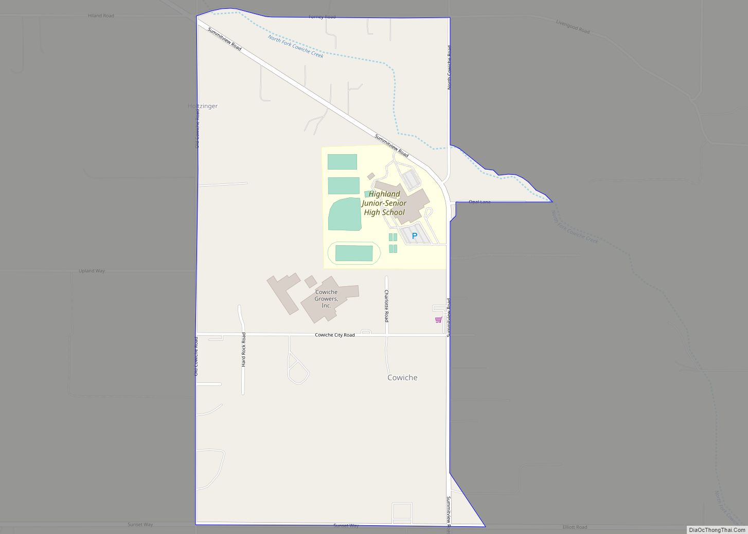
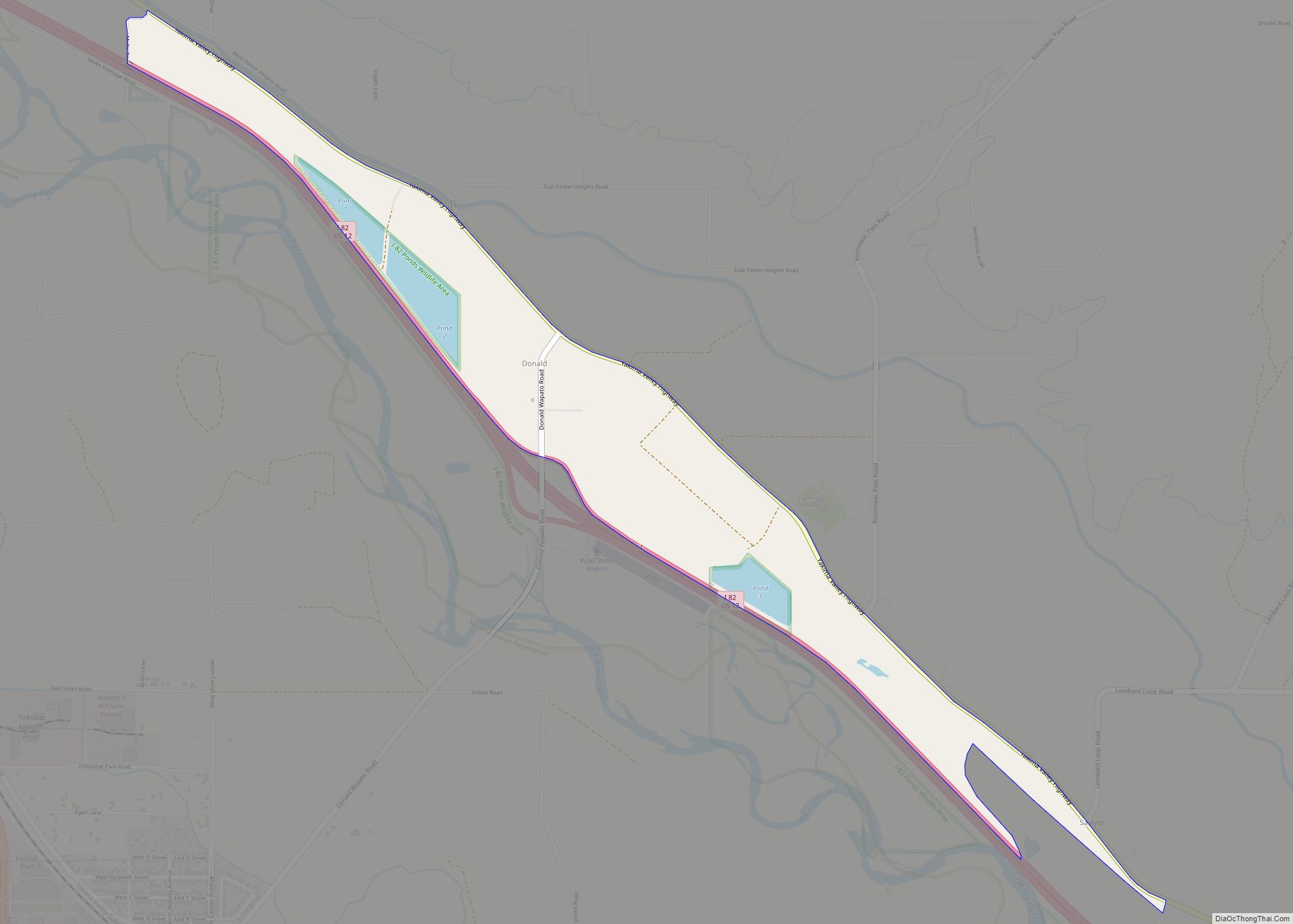
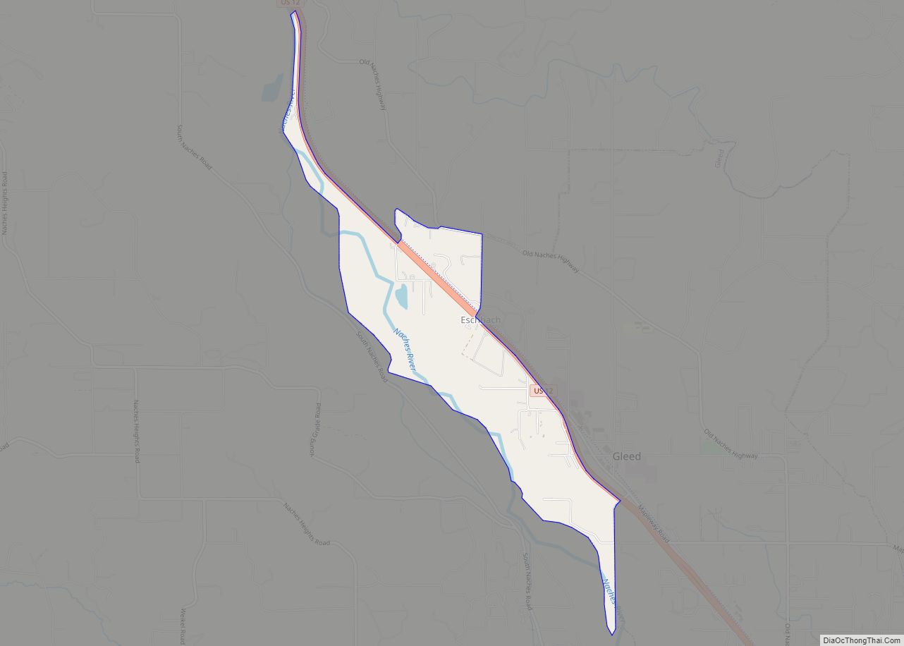
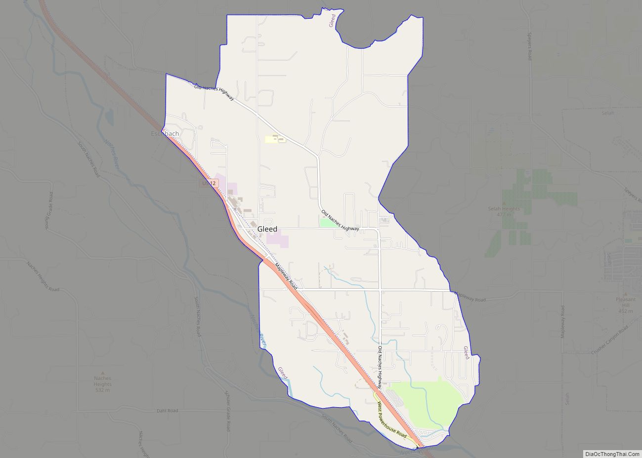
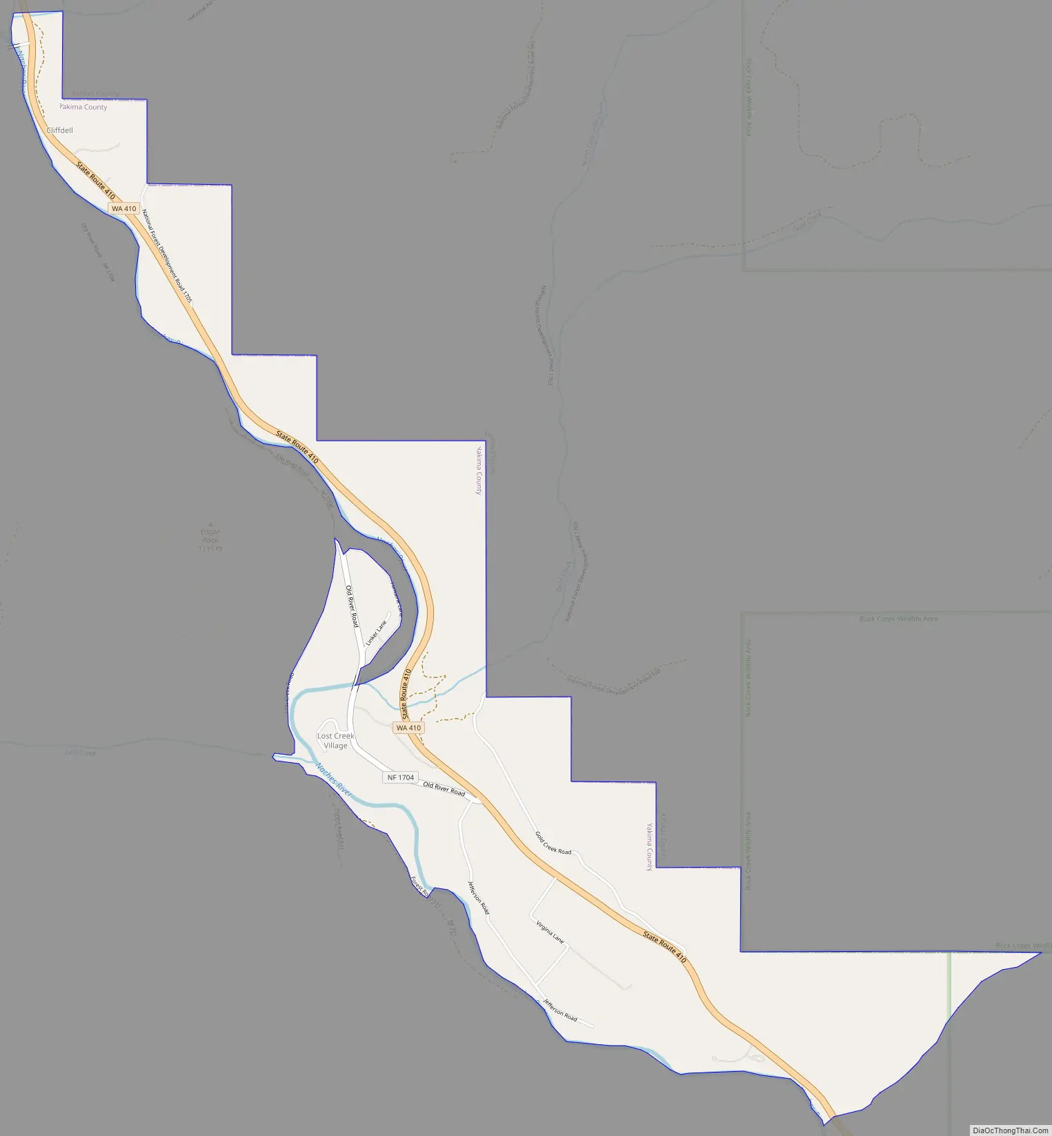
Cliffdell Road Map
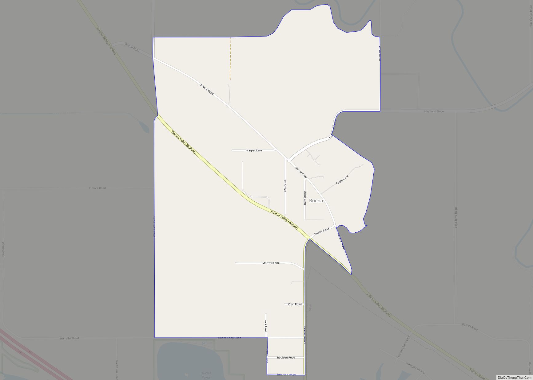
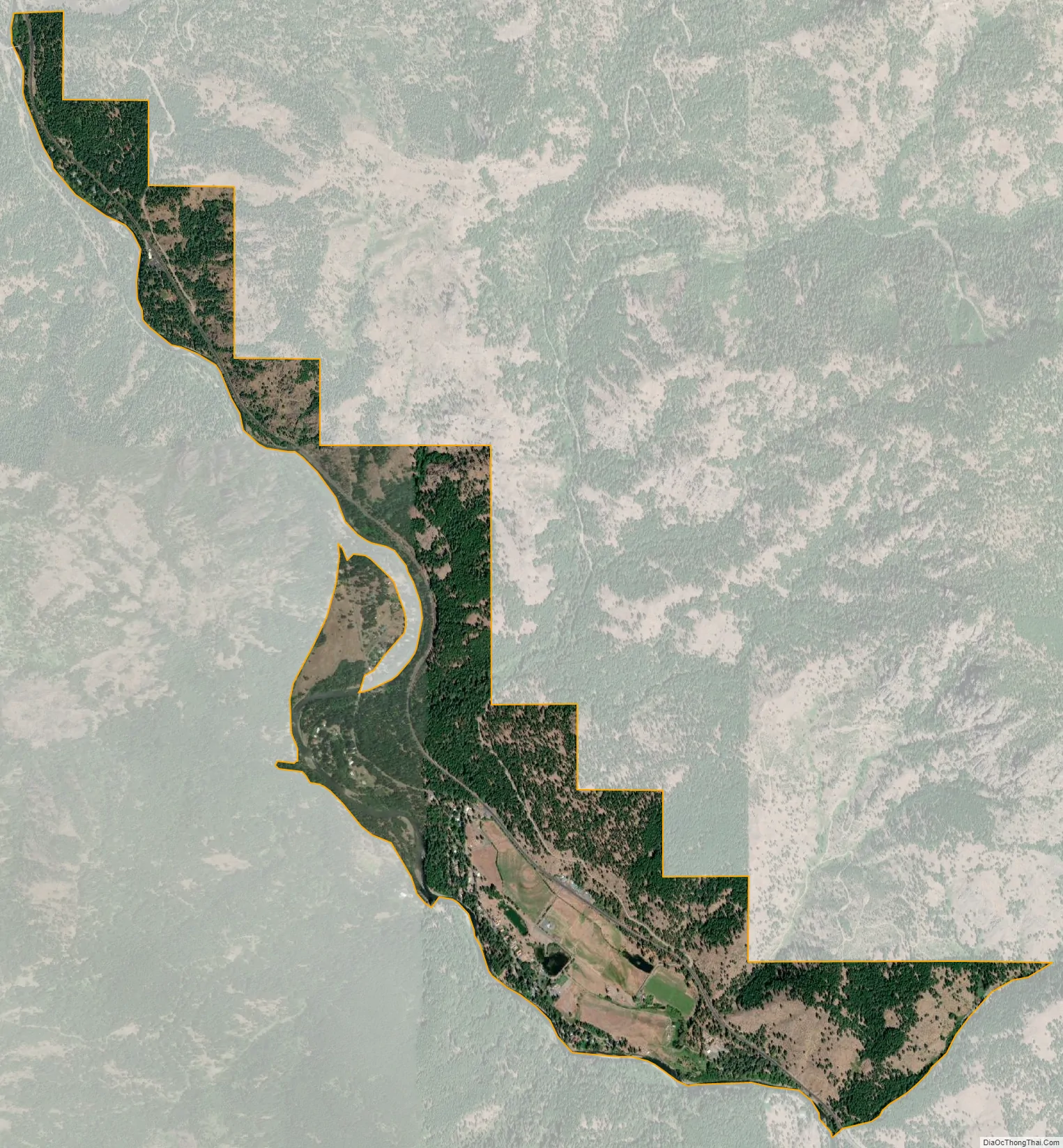
Cliffdell city Satellite Map
See also
Map of Washington State and its subdivision:- Adams
- Asotin
- Benton
- Chelan
- Clallam
- Clark
- Columbia
- Cowlitz
- Douglas
- Ferry
- Franklin
- Garfield
- Grant
- Grays Harbor
- Island
- Jefferson
- King
- Kitsap
- Kittitas
- Klickitat
- Lewis
- Lincoln
- Mason
- Okanogan
- Pacific
- Pend Oreille
- Pierce
- San Juan
- Skagit
- Skamania
- Snohomish
- Spokane
- Stevens
- Thurston
- Wahkiakum
- Walla Walla
- Whatcom
- Whitman
- Yakima
- Alabama
- Alaska
- Arizona
- Arkansas
- California
- Colorado
- Connecticut
- Delaware
- District of Columbia
- Florida
- Georgia
- Hawaii
- Idaho
- Illinois
- Indiana
- Iowa
- Kansas
- Kentucky
- Louisiana
- Maine
- Maryland
- Massachusetts
- Michigan
- Minnesota
- Mississippi
- Missouri
- Montana
- Nebraska
- Nevada
- New Hampshire
- New Jersey
- New Mexico
- New York
- North Carolina
- North Dakota
- Ohio
- Oklahoma
- Oregon
- Pennsylvania
- Rhode Island
- South Carolina
- South Dakota
- Tennessee
- Texas
- Utah
- Vermont
- Virginia
- Washington
- West Virginia
- Wisconsin
- Wyoming