| Name: | Coulee Dam town |
|---|---|
| LSAD Code: | 43 |
| LSAD Description: | town (suffix) |
| State: | Washington |
| County: | Douglas County, Grant County, Okanogan County |
| FIPS code: | 5315115 |
Online Interactive Map
Click on ![]() to view map in "full screen" mode.
to view map in "full screen" mode.
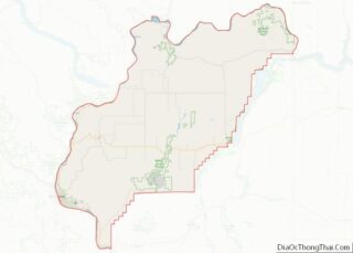
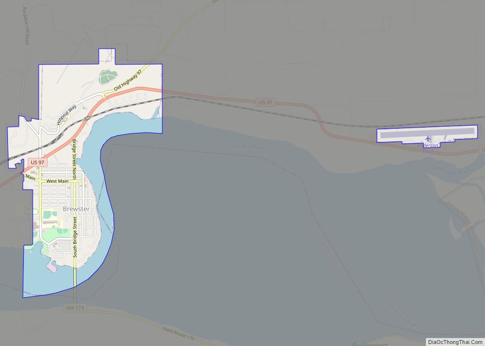
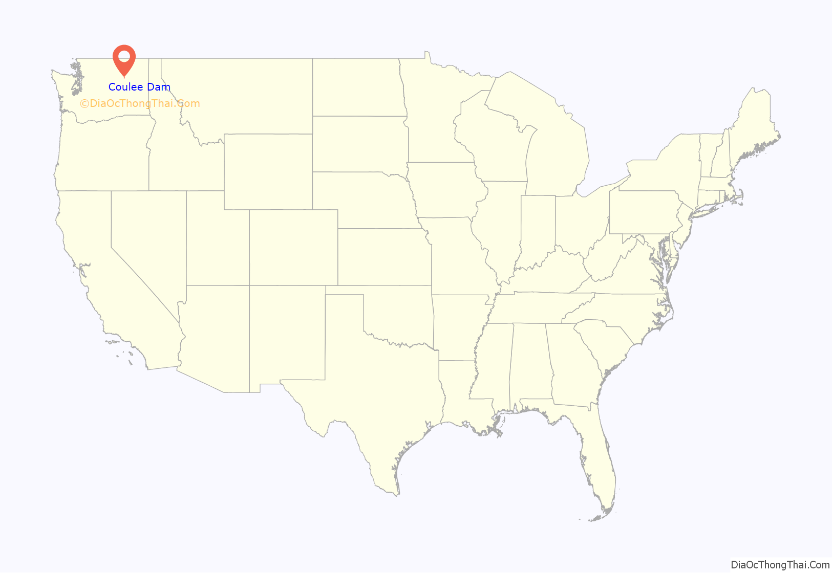
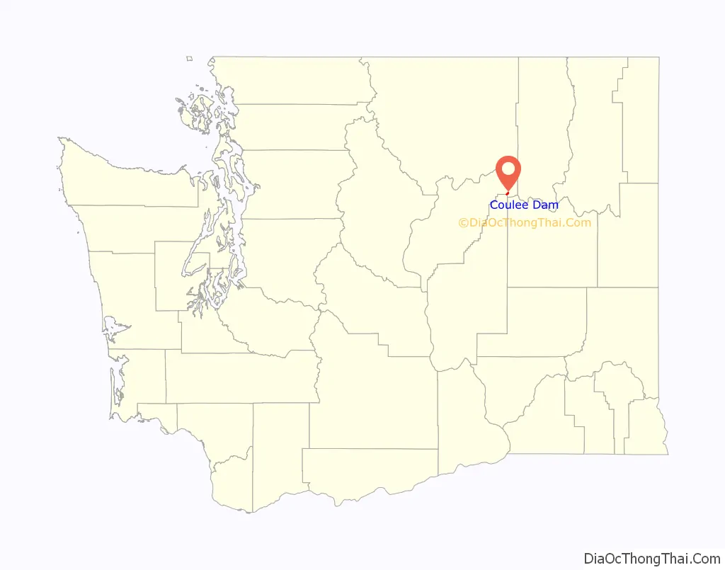
Coulee Dam location map. Where is Coulee Dam town?
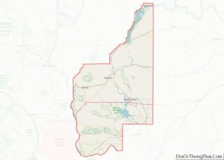
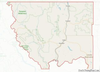
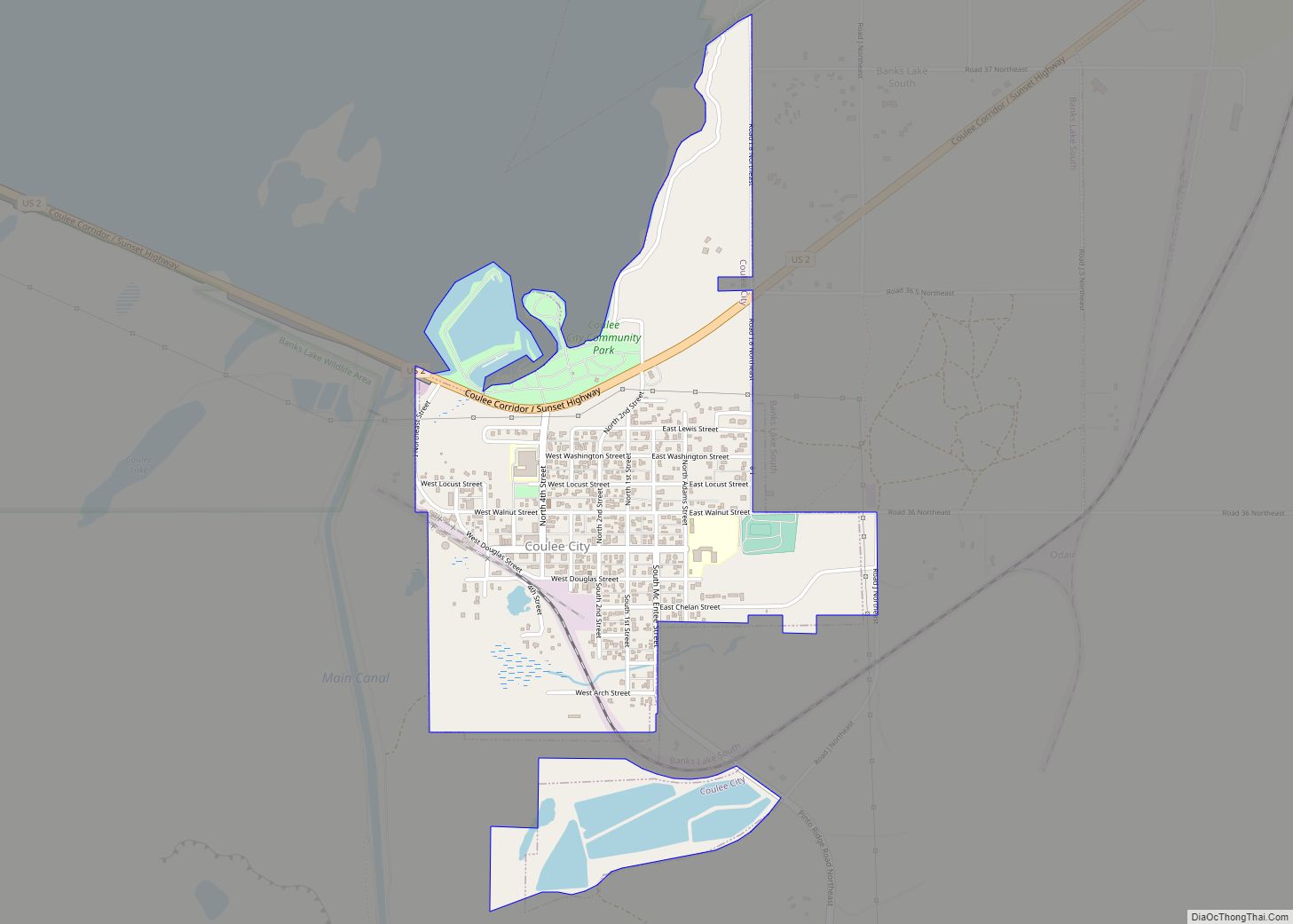
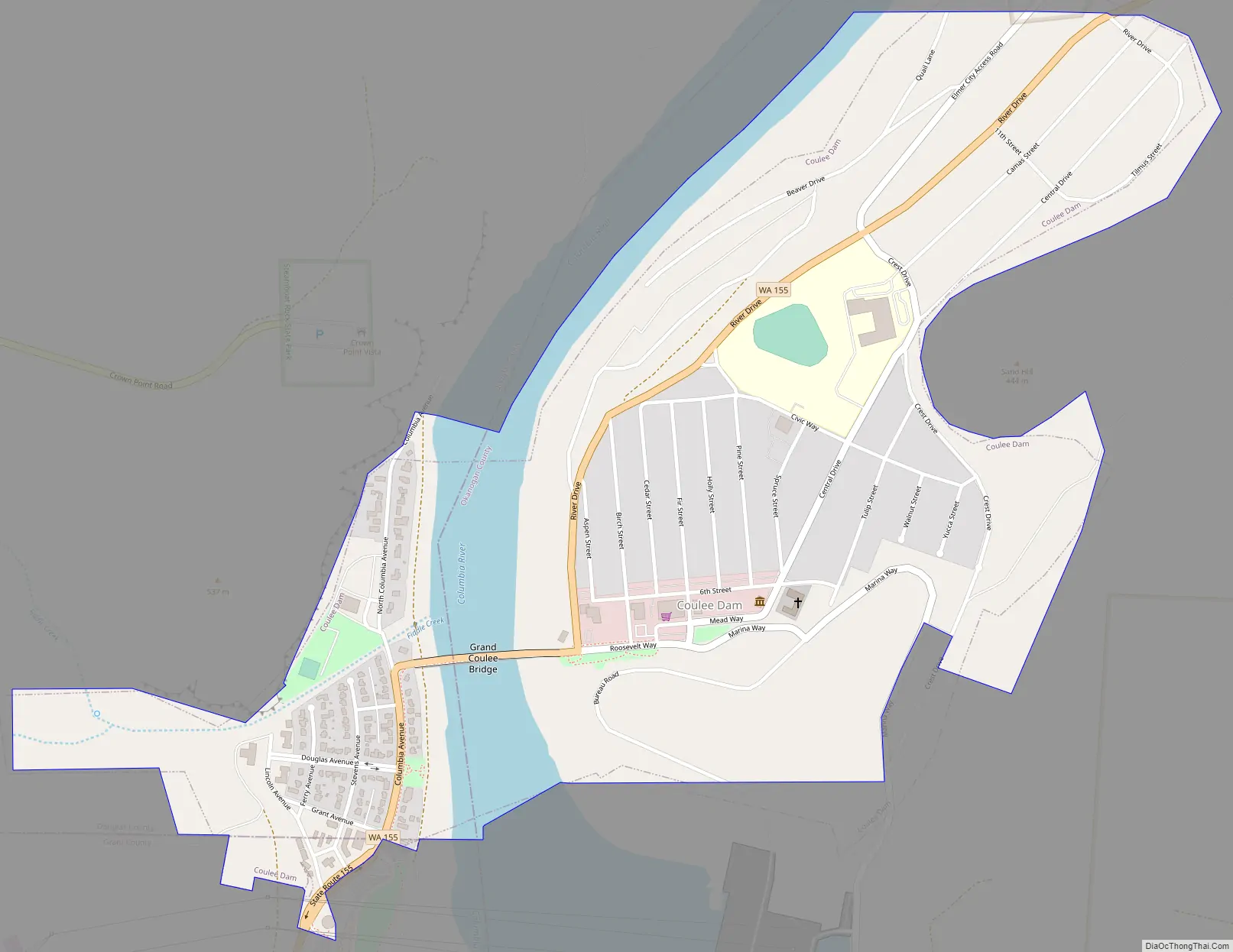
Coulee Dam Road Map
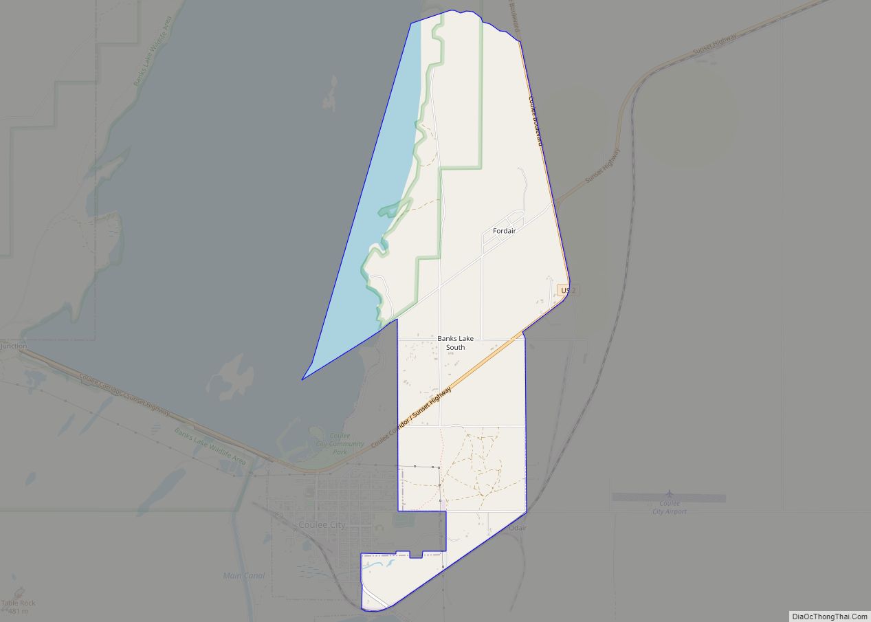
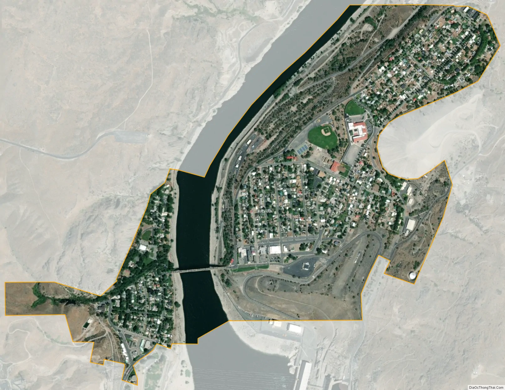
Coulee Dam city Satellite Map
See also
Map of Washington State and its subdivision:- Adams
- Asotin
- Benton
- Chelan
- Clallam
- Clark
- Columbia
- Cowlitz
- Douglas
- Ferry
- Franklin
- Garfield
- Grant
- Grays Harbor
- Island
- Jefferson
- King
- Kitsap
- Kittitas
- Klickitat
- Lewis
- Lincoln
- Mason
- Okanogan
- Pacific
- Pend Oreille
- Pierce
- San Juan
- Skagit
- Skamania
- Snohomish
- Spokane
- Stevens
- Thurston
- Wahkiakum
- Walla Walla
- Whatcom
- Whitman
- Yakima
- Alabama
- Alaska
- Arizona
- Arkansas
- California
- Colorado
- Connecticut
- Delaware
- District of Columbia
- Florida
- Georgia
- Hawaii
- Idaho
- Illinois
- Indiana
- Iowa
- Kansas
- Kentucky
- Louisiana
- Maine
- Maryland
- Massachusetts
- Michigan
- Minnesota
- Mississippi
- Missouri
- Montana
- Nebraska
- Nevada
- New Hampshire
- New Jersey
- New Mexico
- New York
- North Carolina
- North Dakota
- Ohio
- Oklahoma
- Oregon
- Pennsylvania
- Rhode Island
- South Carolina
- South Dakota
- Tennessee
- Texas
- Utah
- Vermont
- Virginia
- Washington
- West Virginia
- Wisconsin
- Wyoming