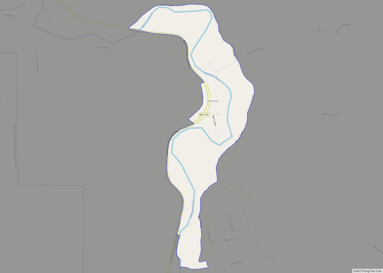
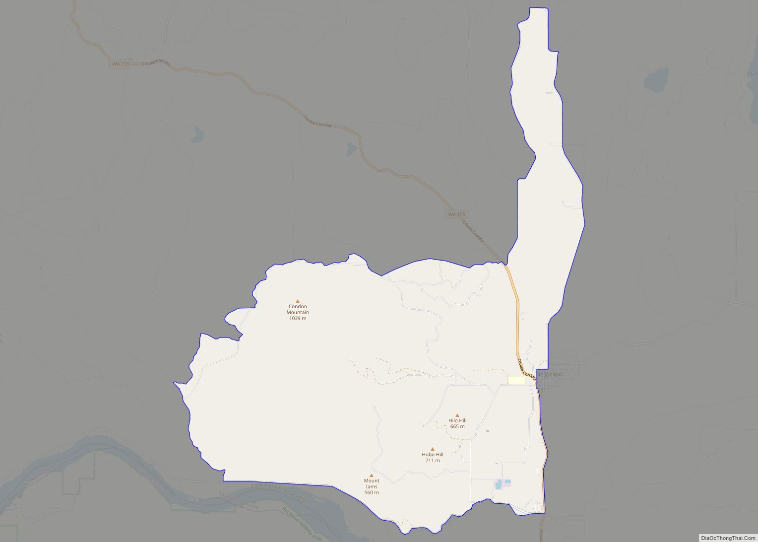
Disautel is a census-designated place (CDP) in Okanogan County, Washington, United States, within the Greater Omak Area. The population was 78 at the 2010 census.
Established in 1919, the community is located approximately 15 miles (24 km) east of Omak, along what is now Washington State Route 155. It was formerly a logging town that was home to the headquarters of the Biles-Coleman Logging Company. When the highway to Nespelem Community was improved, workers in the sawmill began commuting from Omak, and the town population began to dwindle. After the sawmill closed at the beginning of the Great Depression, the town shrank further. For some time, the Highway Department used the empty warehouses in the town to store roadworking equipment, but that ultimately did not last, and the town was abandoned.
| Name: | Disautel CDP |
|---|---|
| LSAD Code: | 57 |
| LSAD Description: | CDP (suffix) |
| State: | Washington |
| County: | Okanogan County |
| FIPS code: | 5317880 |
Online Interactive Map
Click on ![]() to view map in "full screen" mode.
to view map in "full screen" mode.
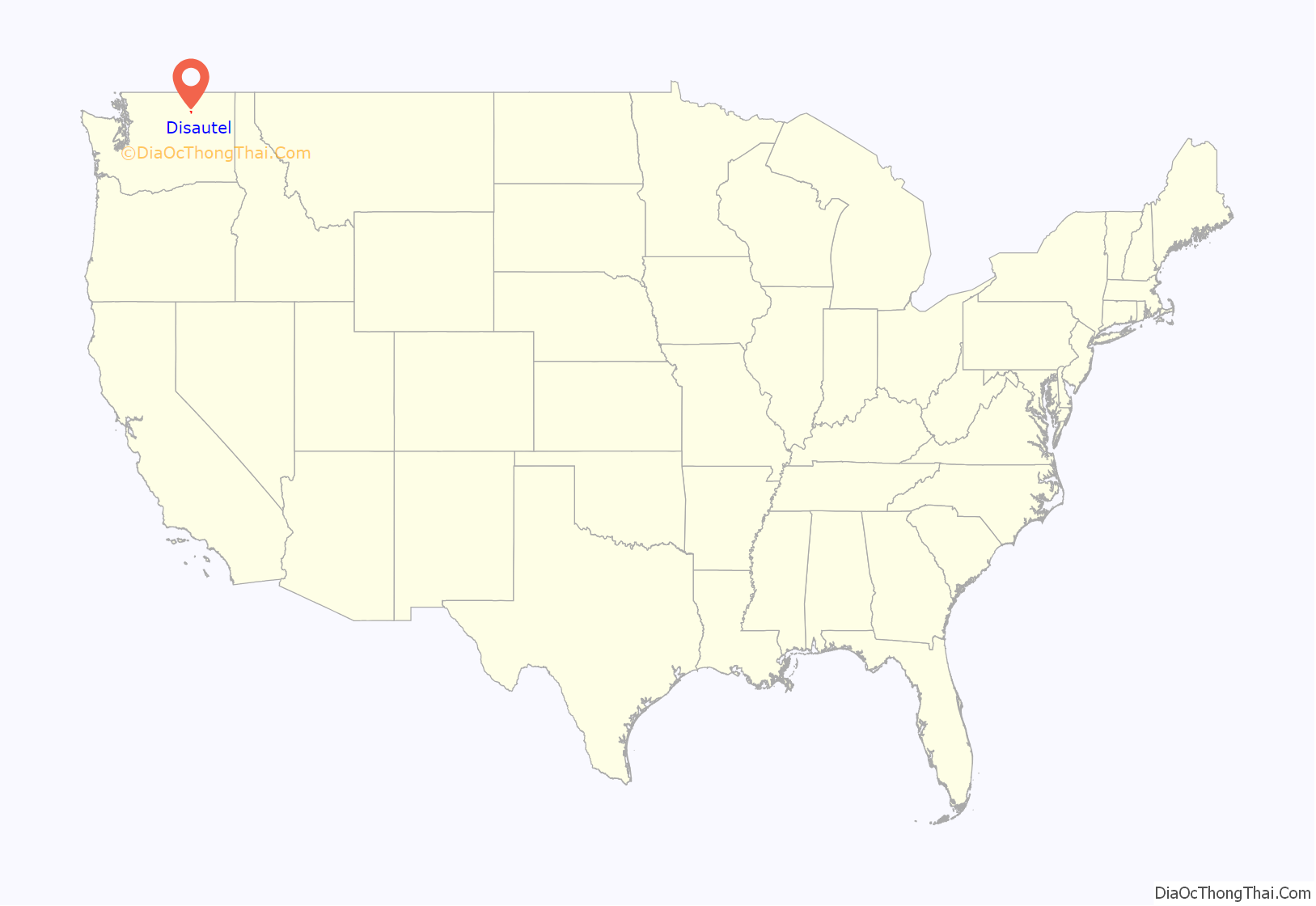
Disautel location map. Where is Disautel CDP?
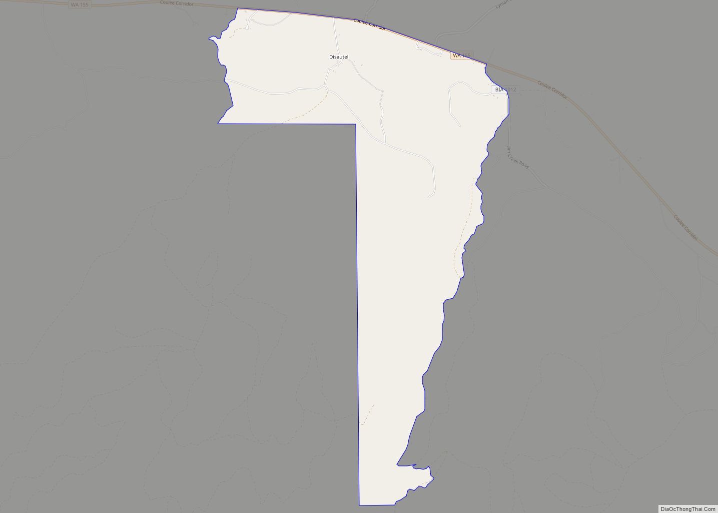
Disautel Road Map
Disautel city Satellite Map
See also
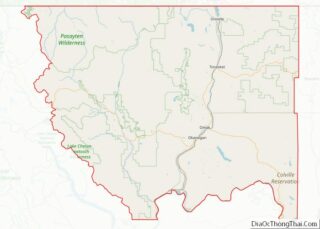
Map of Washington State and its subdivision:- Adams
- Asotin
- Benton
- Chelan
- Clallam
- Clark
- Columbia
- Cowlitz
- Douglas
- Ferry
- Franklin
- Garfield
- Grant
- Grays Harbor
- Island
- Jefferson
- King
- Kitsap
- Kittitas
- Klickitat
- Lewis
- Lincoln
- Mason
- Okanogan
- Pacific
- Pend Oreille
- Pierce
- San Juan
- Skagit
- Skamania
- Snohomish
- Spokane
- Stevens
- Thurston
- Wahkiakum
- Walla Walla
- Whatcom
- Whitman
- Yakima
- Alabama
- Alaska
- Arizona
- Arkansas
- California
- Colorado
- Connecticut
- Delaware
- District of Columbia
- Florida
- Georgia
- Hawaii
- Idaho
- Illinois
- Indiana
- Iowa
- Kansas
- Kentucky
- Louisiana
- Maine
- Maryland
- Massachusetts
- Michigan
- Minnesota
- Mississippi
- Missouri
- Montana
- Nebraska
- Nevada
- New Hampshire
- New Jersey
- New Mexico
- New York
- North Carolina
- North Dakota
- Ohio
- Oklahoma
- Oregon
- Pennsylvania
- Rhode Island
- South Carolina
- South Dakota
- Tennessee
- Texas
- Utah
- Vermont
- Virginia
- Washington
- West Virginia
- Wisconsin
- Wyoming
