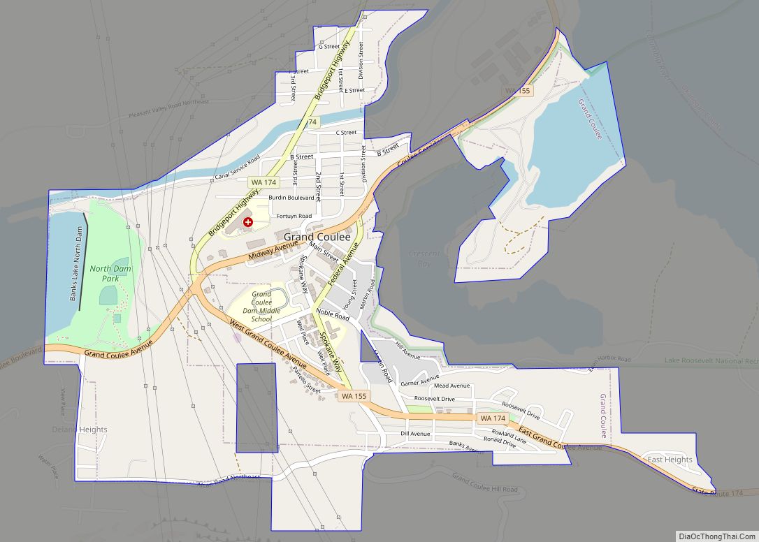
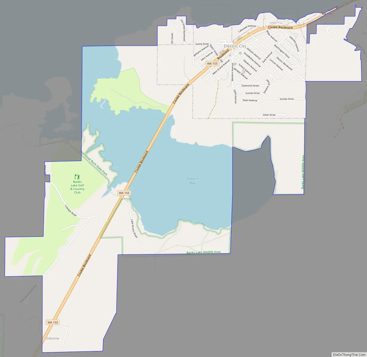
Electric City is a city in Grant County, Washington. The population was 956 at the time of the 2020 census. The community was named for its proximity to the power source at Grand Coulee Dam.
| Name: | Electric City city |
|---|---|
| LSAD Code: | 25 |
| LSAD Description: | city (suffix) |
| State: | Washington |
| County: | Grant County |
| Elevation: | 1,650 ft (503 m) |
| Total Area: | 2.64 sq mi (6.84 km²) |
| Land Area: | 1.99 sq mi (5.15 km²) |
| Water Area: | 0.65 sq mi (1.69 km²) |
| Total Population: | 956 |
| Population Density: | 504.02/sq mi (194.60/km²) |
| ZIP code: | 99123 |
| Area code: | 509 |
| FIPS code: | 5321030 |
| GNISfeature ID: | 1504703 |
| Website: | electriccity.us |
Online Interactive Map
Click on ![]() to view map in "full screen" mode.
to view map in "full screen" mode.
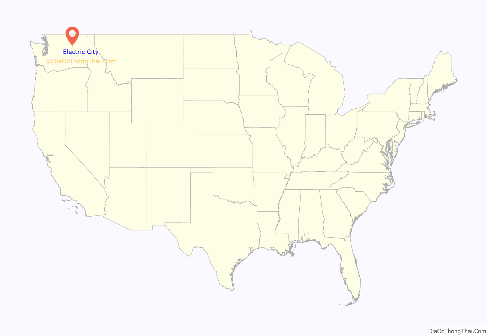
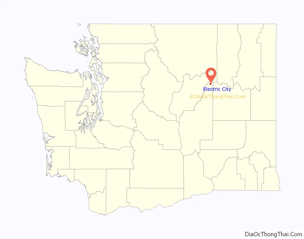
Electric City location map. Where is Electric City city?
History
Electric City was established in 1934 as one of several settlements around the future site of the Grand Coulee Dam that aimed to house construction workers. President Franklin D. Roosevelt stopped at Electric City during his tour of the dam site later that year; by August, 500 lots had been platted for the town. Some of the earliest buildings in Electric City had been relocated from nearby Osborne, which was inundated by Franklin D. Roosevelt Lake following the dam’s completion. A post office was created for the settlement in June 1935 and was followed by a school a year later.
Electric City was incorporated as a fourth-class city on August 4, 1950, following a vote on July 8. The 1950 U.S. census counted a population of 1,472 people in the Electric City area a few months before the election. A group of residents contested the validity of the incorporation and appealed to the Grant County’s superior court, which did not overturn the incorporation.
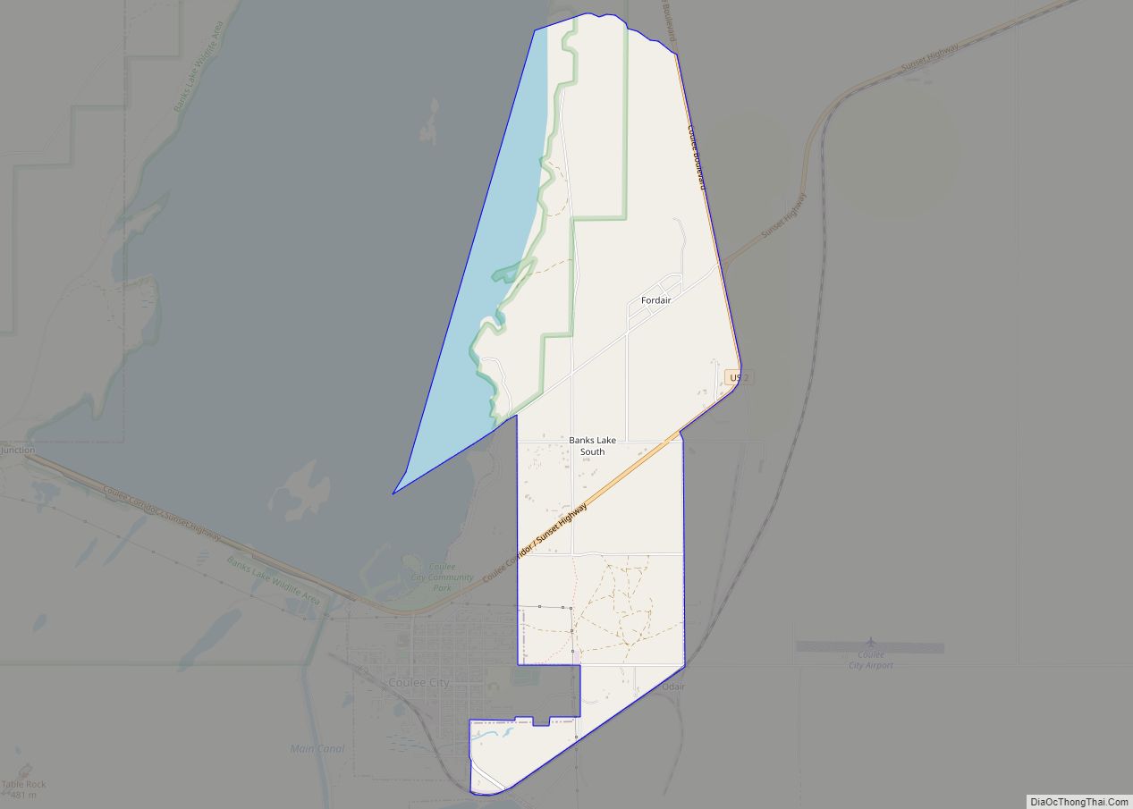
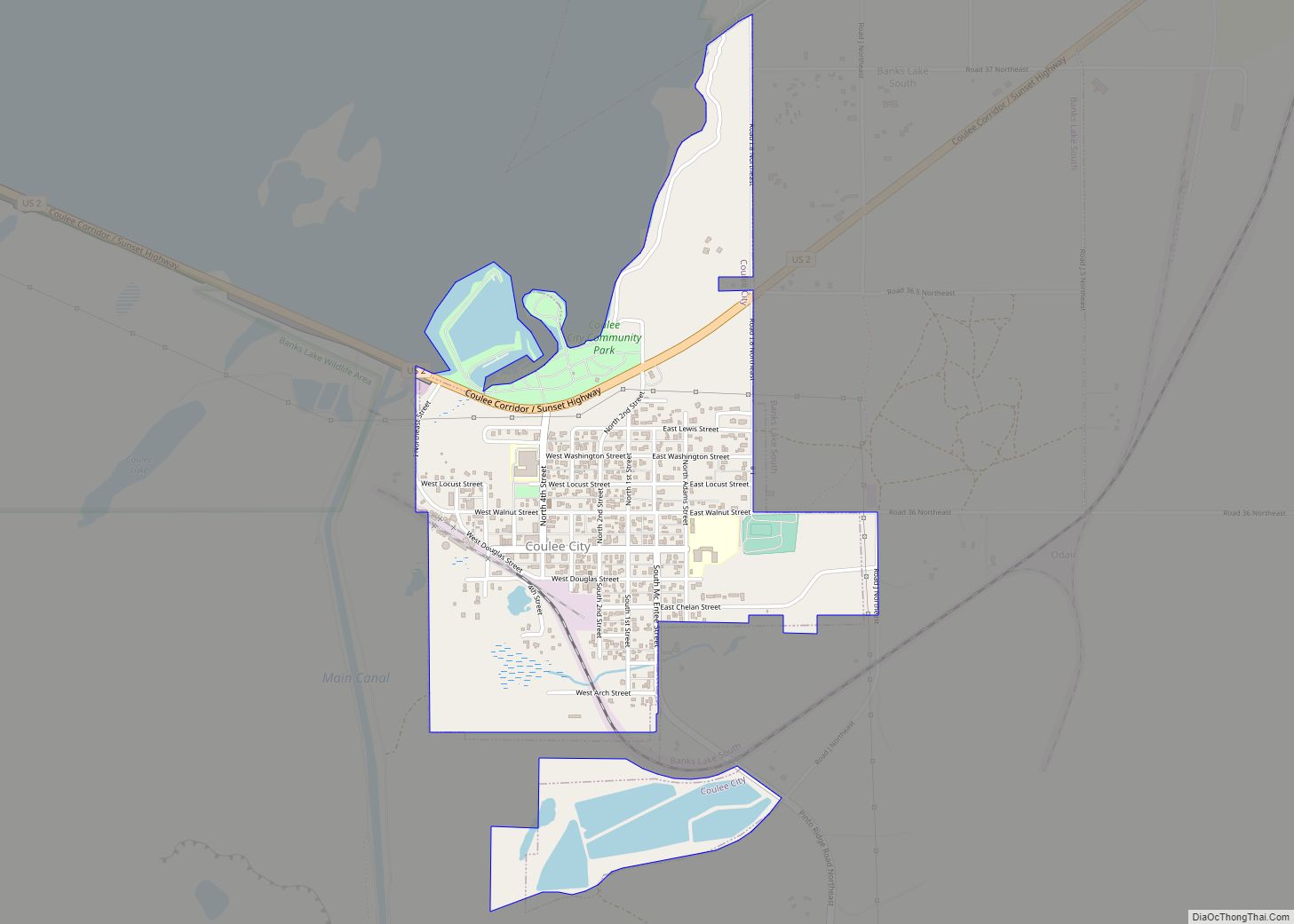
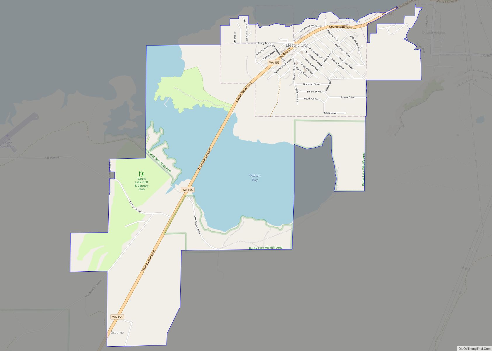
Electric City Road Map
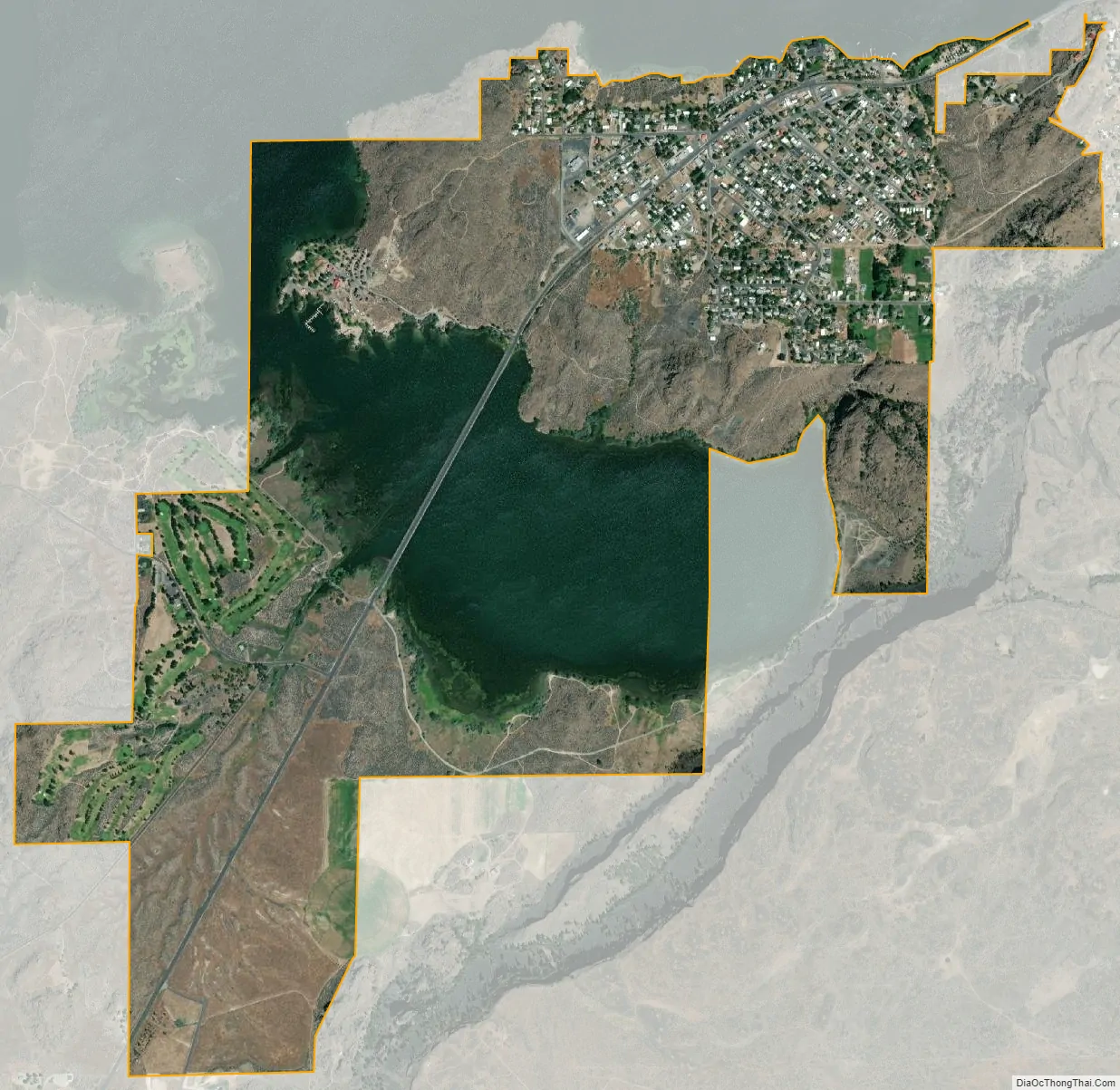
Electric City city Satellite Map
Geography
Electric City is located near the northern end of the Grand Coulee (now filled by Banks Lake) in northern Grant County, Washington. It is southwest of the Grand Coulee Dam and the city of Grand Coulee, and connected to both by State Route 155.
According to the United States Census Bureau, the city has a total area of 2.34 square miles (6.06 km), of which, 1.70 square miles (4.40 km) is land and 0.64 square miles (1.66 km) is water.
See also
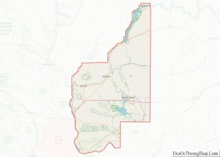
Map of Washington State and its subdivision:- Adams
- Asotin
- Benton
- Chelan
- Clallam
- Clark
- Columbia
- Cowlitz
- Douglas
- Ferry
- Franklin
- Garfield
- Grant
- Grays Harbor
- Island
- Jefferson
- King
- Kitsap
- Kittitas
- Klickitat
- Lewis
- Lincoln
- Mason
- Okanogan
- Pacific
- Pend Oreille
- Pierce
- San Juan
- Skagit
- Skamania
- Snohomish
- Spokane
- Stevens
- Thurston
- Wahkiakum
- Walla Walla
- Whatcom
- Whitman
- Yakima
- Alabama
- Alaska
- Arizona
- Arkansas
- California
- Colorado
- Connecticut
- Delaware
- District of Columbia
- Florida
- Georgia
- Hawaii
- Idaho
- Illinois
- Indiana
- Iowa
- Kansas
- Kentucky
- Louisiana
- Maine
- Maryland
- Massachusetts
- Michigan
- Minnesota
- Mississippi
- Missouri
- Montana
- Nebraska
- Nevada
- New Hampshire
- New Jersey
- New Mexico
- New York
- North Carolina
- North Dakota
- Ohio
- Oklahoma
- Oregon
- Pennsylvania
- Rhode Island
- South Carolina
- South Dakota
- Tennessee
- Texas
- Utah
- Vermont
- Virginia
- Washington
- West Virginia
- Wisconsin
- Wyoming