Enumclaw (/ˈiːnəmklɔː/ (listen) EE-nəm-klaw) is a city in King County, Washington, United States. The population was 12,543 at the 2020 census.
The Enumclaw Plateau, on which the city resides, was formed by a volcanic mudflow (lahar) from Mount Rainier approximately 5,700 years ago.
| Name: | Enumclaw city |
|---|---|
| LSAD Code: | 25 |
| LSAD Description: | city (suffix) |
| State: | Washington |
| County: | King County, Pierce County |
| Elevation: | 761 ft (232 m) |
| Total Area: | 5.17 sq mi (13.40 km²) |
| Land Area: | 5.17 sq mi (13.40 km²) |
| Water Area: | 0.00 sq mi (0.00 km²) |
| Total Population: | 12,543 |
| Population Density: | 2,356.92/sq mi (910.02/km²) |
| ZIP code: | 98022 |
| Area code: | 360 |
| FIPS code: | 5322045 |
| GNISfeature ID: | 1519366 |
| Website: | cityofenumclaw.net |
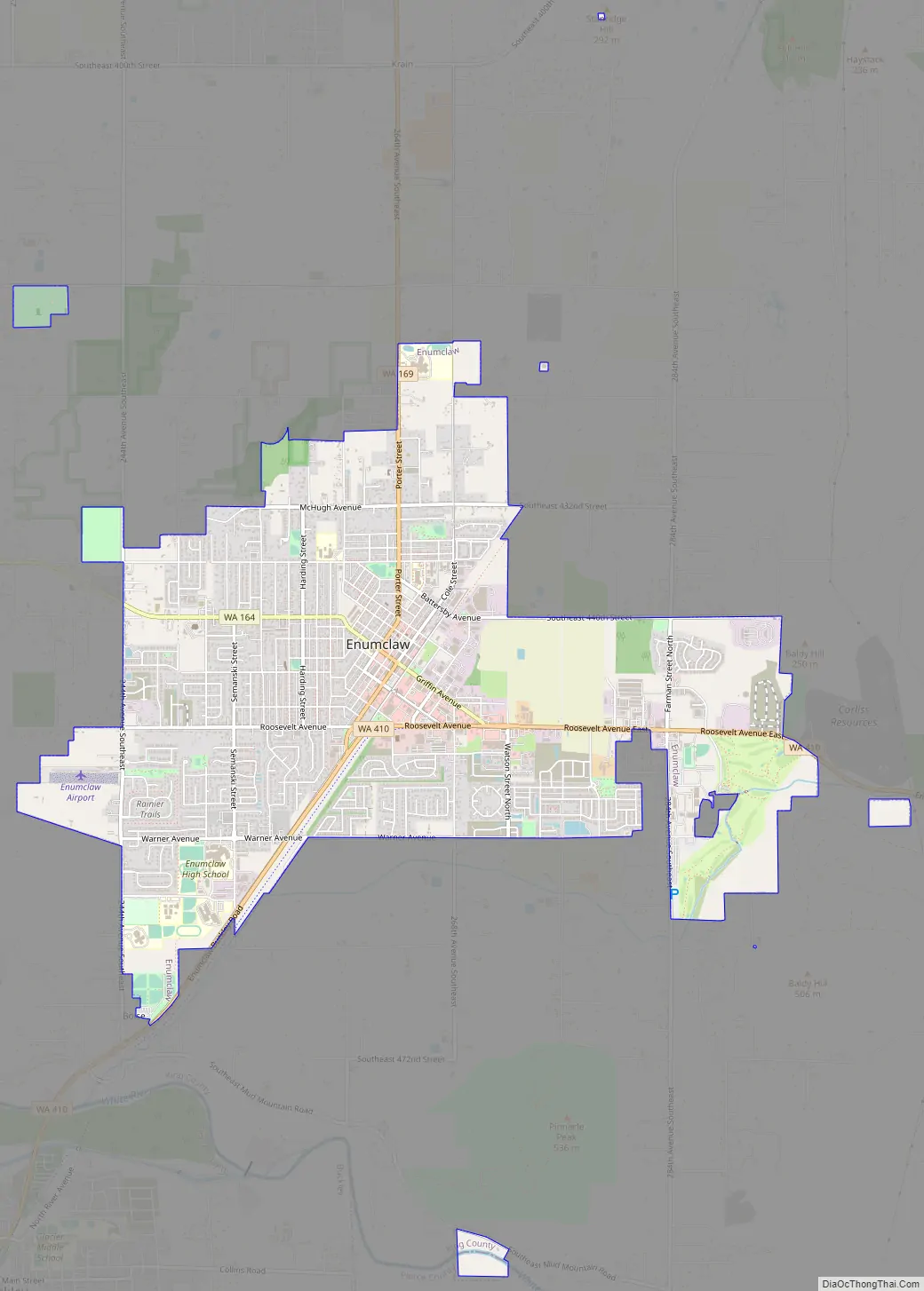
Online Interactive Map
Click on ![]() to view map in "full screen" mode.
to view map in "full screen" mode.
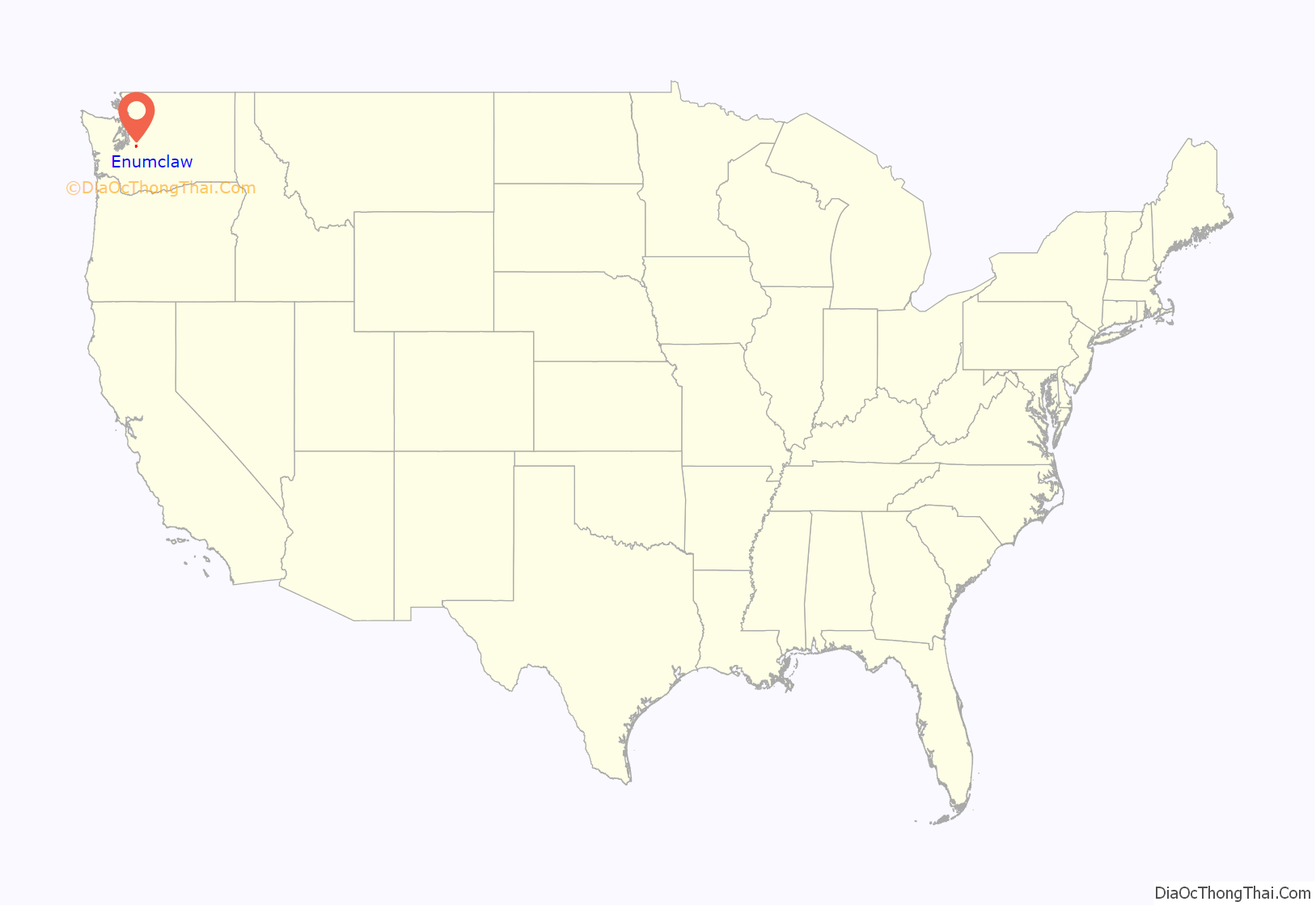
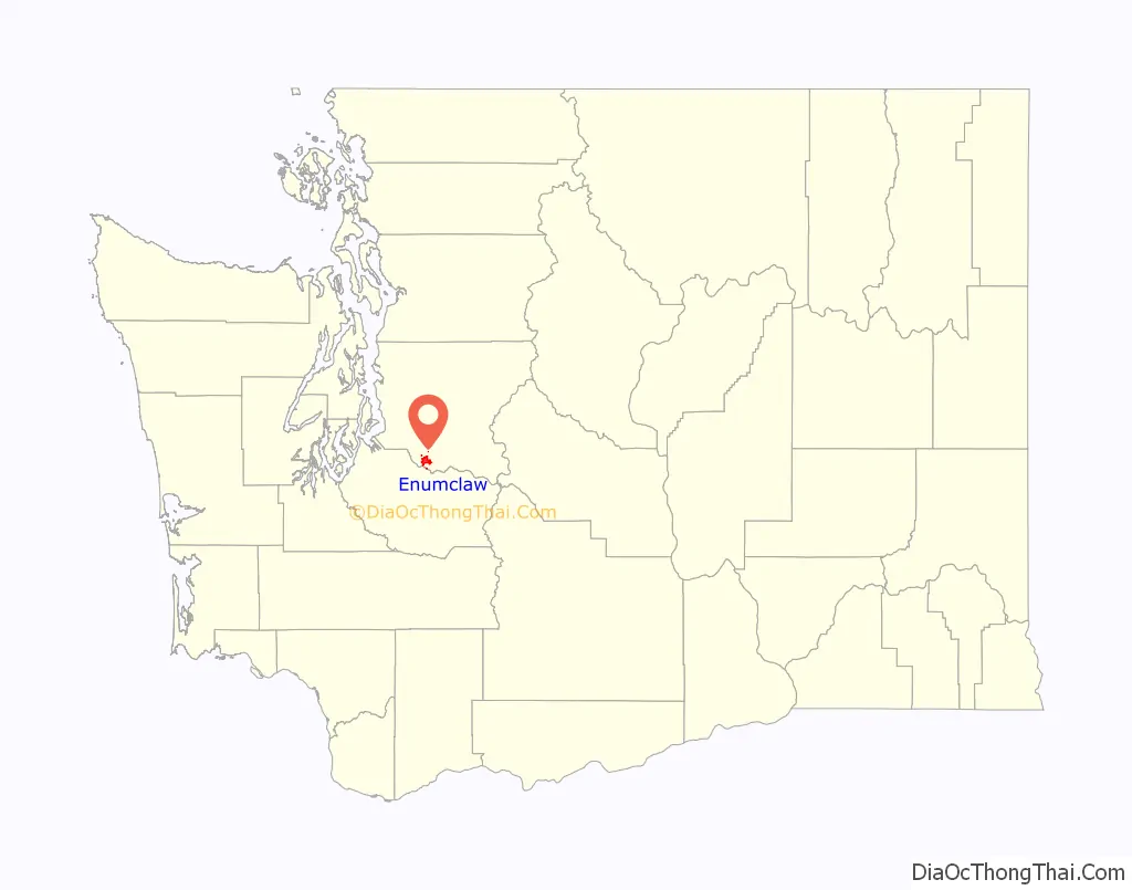
Enumclaw location map. Where is Enumclaw city?
History
The name Enumclaw is derived from the Sahaptin word /inɨmɬá/, meaning “he who makes noise”, from to /ínɨmn/, “to neigh, bray, sing”, and /-ɬa/, “he who”. Sometimes it is said that “Enumclaw” translates as “place of evil spirits”, apparently referring to Enumclaw Mountain, located about 6 miles (9.7 km) to the north. According to legend the mountain’s name was derived from an evil incident that occurred there, or to the occasional powerful windstorms from the east that affect the region. Native American mythology tells the story of two brothers – Enumclaw and Kapoonis – who were turned into thunder and lightning, respectively, by their father. The City of Enumclaw says the name means “thundering noise”.
One of the first white settlers in south King County was Allen L. Porter. In 1853, he claimed a 320-acre (1.3 km) parcel on the White River, about three miles (5 km) west of the site of Enumclaw. He maintained a troubled relationship with the local Smalkamish tribe (some of the ancestors of the Muckleshoot tribe) for some time, and in 1855 his cabin was burned to the ground. Porter, who had been warned in advance by a friend in the tribe, hid in the woods until they had left. After warning the settlers at Fort Steilacoom, he left the area, moving to Roy. He would never return to Enumclaw.
Enumclaw itself was homesteaded in 1879 by Frank and Mary Stevenson. In 1885, the Northern Pacific Railroad routed their transcontinental mainline through the site, accepting their offer of cleared, level land on which to build a siding. Confident that the area would grow, the Stevensons filed a plat with King County that same year. They built a hotel and gave away lots for a saloon and a general store.
At first the people called the town ‘Stevensonville’ after the founders, who soon refused the honor. One resident suggested ‘Enumclaw,’ which was the name of the strange sawed-off promontory north of town. The name’s uniqueness gained favor with the locals.
On January 11, 1895, Mount Baldy, a small peak above the town, “erupted” with tremendous fire and smoke, although no losses or damage were reported, and the conflagration was minimized by residents. Throughout the 1880s and 1890s the area was farmed for hops. When the hops crop failed due to pests and economic downturn, the residents turned to dairy farming, which has been a mainstay ever since. The first census listing Enumclaw in 1900 put the population at 483 people.
In the 1890s, the Northern Pacific Railroad rerouted their line through Palmer, a few miles to the east of town. In 1910, the Chicago, Milwaukee, St. Paul and Pacific Railroad routed a branch line through Enumclaw.
The city was incorporated on January 27, 1913. In 1929, a much-anticipated route to Eastern Washington was opened across the Naches Pass Highway. In the 1950s Enumclaw Insurance Group greatly expanded its business and the home office became a major employer in the town. The company is an insurer doing business in Washington, Oregon, Idaho and Utah.
In 2005 the Enumclaw horse sex case occurred on a farm five miles (8 km) northwest of Enumclaw towards Auburn, in unincorporated King County. A Boeing aerospace engineer named Kenneth Pinyan from Gig Harbor died after receiving anal sex from a horse at the farm. The case and the surrounding media attention, led to Washington State banning bestiality.
Enumclaw Road Map
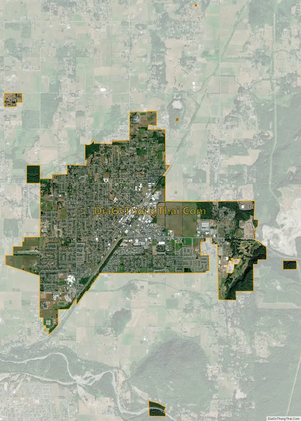
Enumclaw city Satellite Map
Geography
The city is located in the midst of flat, level farmlands and dairy farms in the east Puget Sound lowlands. The flat geography in the middle of mountainous territory is due to the ancient Osceola Mudflow from nearby Mount Rainier.
The city is unique in the fact that it is landlocked by farm preservation on three sides and by protected forest lands to the east. The city is nestled against the Cascade foothills.
According to the United States Census Bureau, the city has a total area of 4.27 square miles (11.06 km), of which, 4.26 square miles (11.03 km) is land and 0.01 square miles (0.03 km) is water.
While Enumclaw is entirely located in King County, the city owns some park property within the boundaries of Pierce County.
Climate
This region experiences very warm (but not hot) and dry summers, with no average monthly temperatures above 71.6 °F (22 C) . According to the Köppen Climate Classification system, Enumclaw has a warm-summer Mediterranean climate, abbreviated “Csb” on climate maps. Enumclaw typically runs about 5 degrees warmer than Seattle in the summer and 5 degrees colder than Seattle in the winter. The city of Enumclaw is generally above the fog while the area to the West of the city can see dense fog due to the proximity to the Green and White River as well as Lake Tapps. Snow is moderate with a typical year seeing about 6″ to 8″ total.
See also
Map of Washington State and its subdivision:- Adams
- Asotin
- Benton
- Chelan
- Clallam
- Clark
- Columbia
- Cowlitz
- Douglas
- Ferry
- Franklin
- Garfield
- Grant
- Grays Harbor
- Island
- Jefferson
- King
- Kitsap
- Kittitas
- Klickitat
- Lewis
- Lincoln
- Mason
- Okanogan
- Pacific
- Pend Oreille
- Pierce
- San Juan
- Skagit
- Skamania
- Snohomish
- Spokane
- Stevens
- Thurston
- Wahkiakum
- Walla Walla
- Whatcom
- Whitman
- Yakima
- Alabama
- Alaska
- Arizona
- Arkansas
- California
- Colorado
- Connecticut
- Delaware
- District of Columbia
- Florida
- Georgia
- Hawaii
- Idaho
- Illinois
- Indiana
- Iowa
- Kansas
- Kentucky
- Louisiana
- Maine
- Maryland
- Massachusetts
- Michigan
- Minnesota
- Mississippi
- Missouri
- Montana
- Nebraska
- Nevada
- New Hampshire
- New Jersey
- New Mexico
- New York
- North Carolina
- North Dakota
- Ohio
- Oklahoma
- Oregon
- Pennsylvania
- Rhode Island
- South Carolina
- South Dakota
- Tennessee
- Texas
- Utah
- Vermont
- Virginia
- Washington
- West Virginia
- Wisconsin
- Wyoming


