Grand Coulee is a city in Grant County, Washington, United States. The population was 972 at the 2020 census.
| Name: | Grand Coulee city |
|---|---|
| LSAD Code: | 25 |
| LSAD Description: | city (suffix) |
| State: | Washington |
| County: | Grant County |
| Elevation: | 1,483 ft (452 m) |
| Total Area: | 1.36 sq mi (3.53 km²) |
| Land Area: | 1.26 sq mi (3.25 km²) |
| Water Area: | 0.11 sq mi (0.28 km²) |
| Total Population: | 972 |
| Population Density: | 834.39/sq mi (322.06/km²) |
| ZIP code: | 99133 |
| Area code: | 509 |
| FIPS code: | 5327855 |
| GNISfeature ID: | 1512249 |
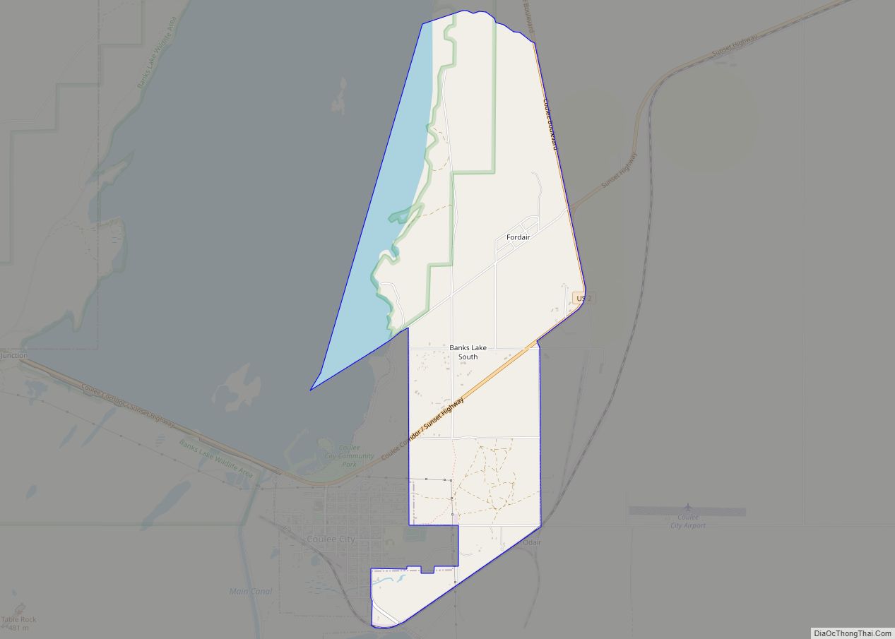
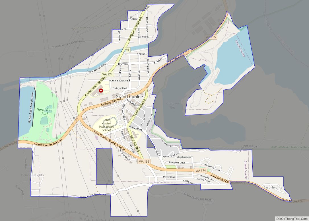
Online Interactive Map
Click on ![]() to view map in "full screen" mode.
to view map in "full screen" mode.
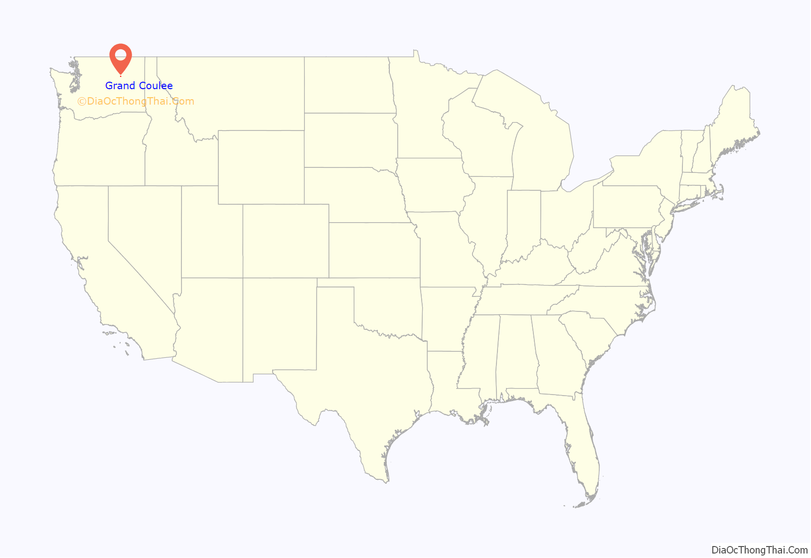
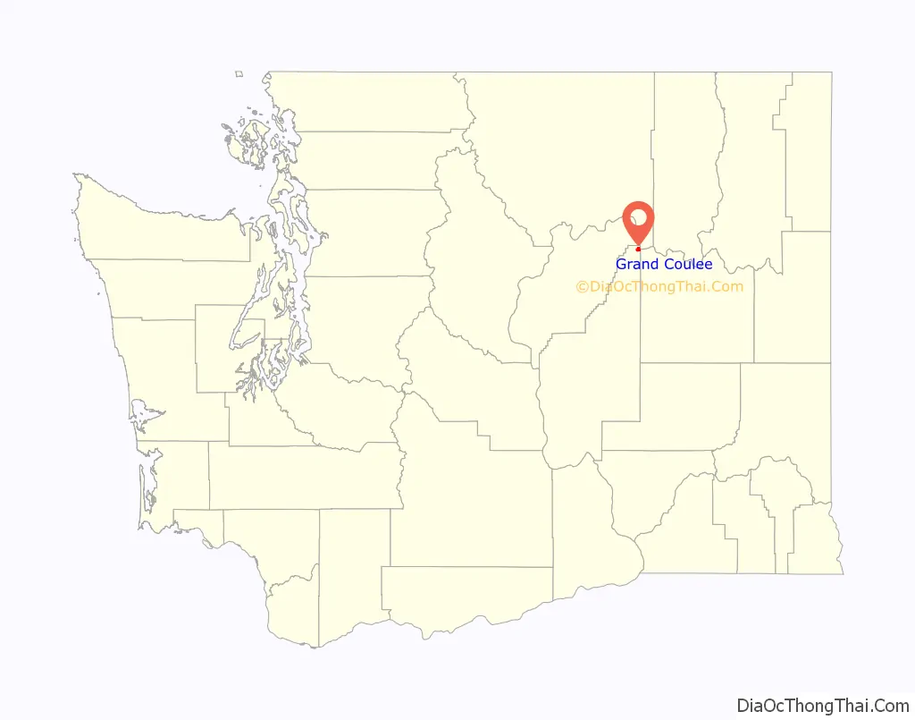
Grand Coulee location map. Where is Grand Coulee city?
History
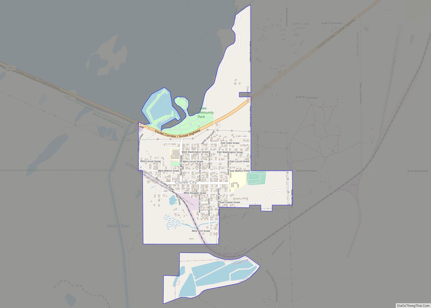
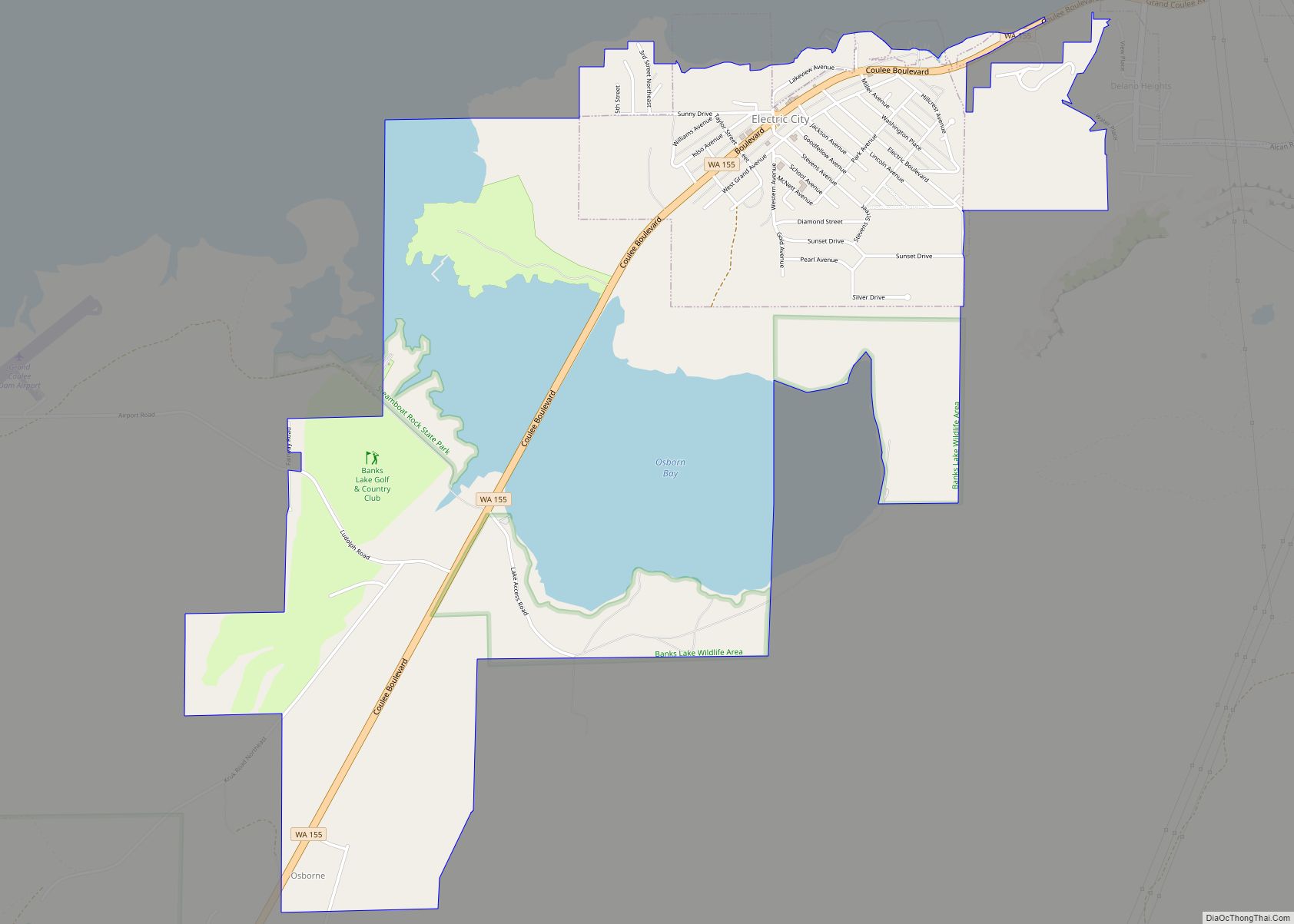
Grand Coulee was officially incorporated on November 6, 1935. It is located above the Grand Coulee Dam and next to North Dam. It was the birthplace of the molecular biologist John Abelson (1938).
Grand Coulee Road Map
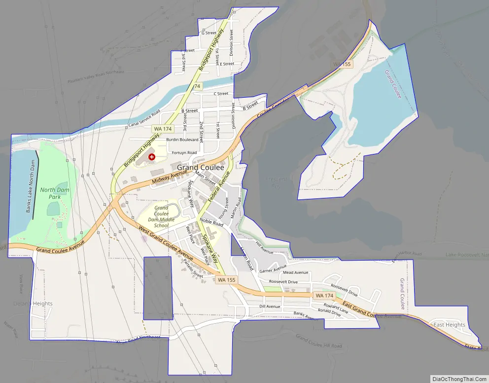
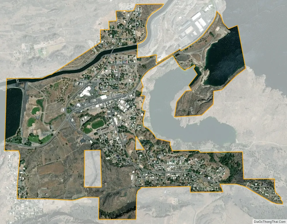
Grand Coulee city Satellite Map
Geography
Grand Coulee is located at 47°56′23″N 119°0′6″W / 47.93972°N 119.00167°W / 47.93972; -119.00167 (47.939706, -119.001597).
According to the United States Census Bureau, the city has a total area of 1.29 square miles (3.34 km), of which, 1.19 square miles (3.08 km) is land and 0.10 square miles (0.26 km) is water.
The city of Grand Coulee is located at the northern end of its namesake, the Grand Coulee, the canyon-like walls of which rise from the 1,483 feet above sea level in the city to over 2,300 feet immediately south of the city. The terrain falls off approximately 200 feet from the city to the shore of Crescent Bay and Lake Roosevelt immediately to the east of the city. Electric City is approximately 1.5 miles to the southwest and the town of Coulee Dam is approximately three miles to the north. The three cities are connected by Washington State Route 155, which has a junction with Washington State Route 174 in Grand Coulee.
See also
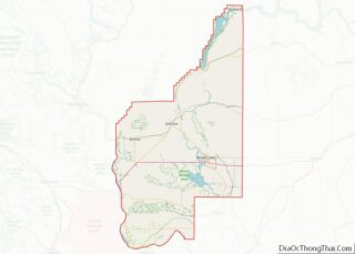
Map of Washington State and its subdivision:- Adams
- Asotin
- Benton
- Chelan
- Clallam
- Clark
- Columbia
- Cowlitz
- Douglas
- Ferry
- Franklin
- Garfield
- Grant
- Grays Harbor
- Island
- Jefferson
- King
- Kitsap
- Kittitas
- Klickitat
- Lewis
- Lincoln
- Mason
- Okanogan
- Pacific
- Pend Oreille
- Pierce
- San Juan
- Skagit
- Skamania
- Snohomish
- Spokane
- Stevens
- Thurston
- Wahkiakum
- Walla Walla
- Whatcom
- Whitman
- Yakima
- Alabama
- Alaska
- Arizona
- Arkansas
- California
- Colorado
- Connecticut
- Delaware
- District of Columbia
- Florida
- Georgia
- Hawaii
- Idaho
- Illinois
- Indiana
- Iowa
- Kansas
- Kentucky
- Louisiana
- Maine
- Maryland
- Massachusetts
- Michigan
- Minnesota
- Mississippi
- Missouri
- Montana
- Nebraska
- Nevada
- New Hampshire
- New Jersey
- New Mexico
- New York
- North Carolina
- North Dakota
- Ohio
- Oklahoma
- Oregon
- Pennsylvania
- Rhode Island
- South Carolina
- South Dakota
- Tennessee
- Texas
- Utah
- Vermont
- Virginia
- Washington
- West Virginia
- Wisconsin
- Wyoming