Kittitas (/ˈkɪtɪtæs/) is a city in Kittitas County, Washington, United States. The population was 1,381 at the 2010 census and an estimated 1,493 in 2018.
There are numerous interpretations of the name, which is from the language of the Kittitas American Indian Sahaptin language. According to toponymist William Bright, the name “Kittitas” comes from the Sahaptin placename [k’ɨtɨtáš], referring to a gravel bank in the Yakima River. According to Jennifer Cochran, it “has been said to mean everything from ‘white chalk’ to ‘shale rock’ to ‘shoal people’ to ‘land of beauty’, and that most anthropologists and historians concede that each interpretation has some validity depending upon the particular dialect spoken.”
| Name: | Kittitas city |
|---|---|
| LSAD Code: | 25 |
| LSAD Description: | city (suffix) |
| State: | Washington |
| County: | Kittitas County |
| Elevation: | 1,647 ft (502 m) |
| Total Area: | 0.78 sq mi (2.02 km²) |
| Land Area: | 0.78 sq mi (2.02 km²) |
| Water Area: | 0.00 sq mi (0.00 km²) |
| Total Population: | 1,381 |
| Population Density: | 1,916.77/sq mi (740.43/km²) |
| ZIP code: | 98934 |
| Area code: | 509 |
| FIPS code: | 5336045 |
| GNISfeature ID: | 1506003 |
| Website: | www.cityofkittitas.com |
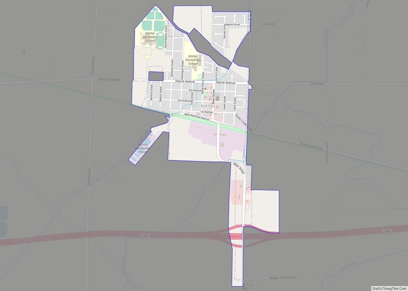
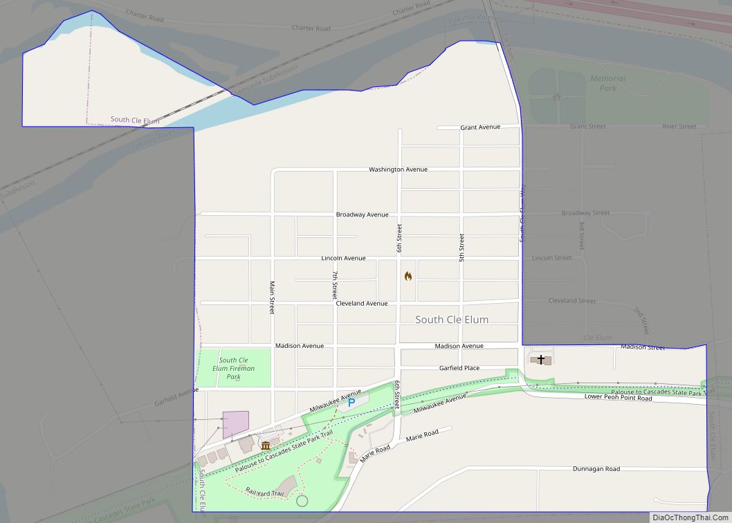
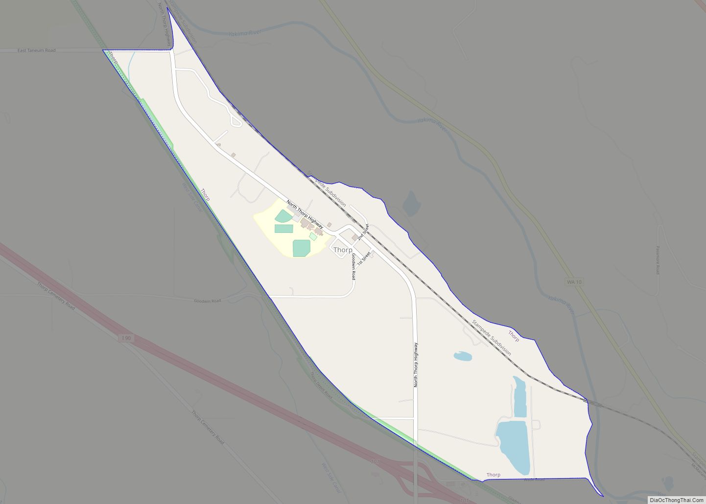
Online Interactive Map
Click on ![]() to view map in "full screen" mode.
to view map in "full screen" mode.
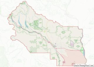
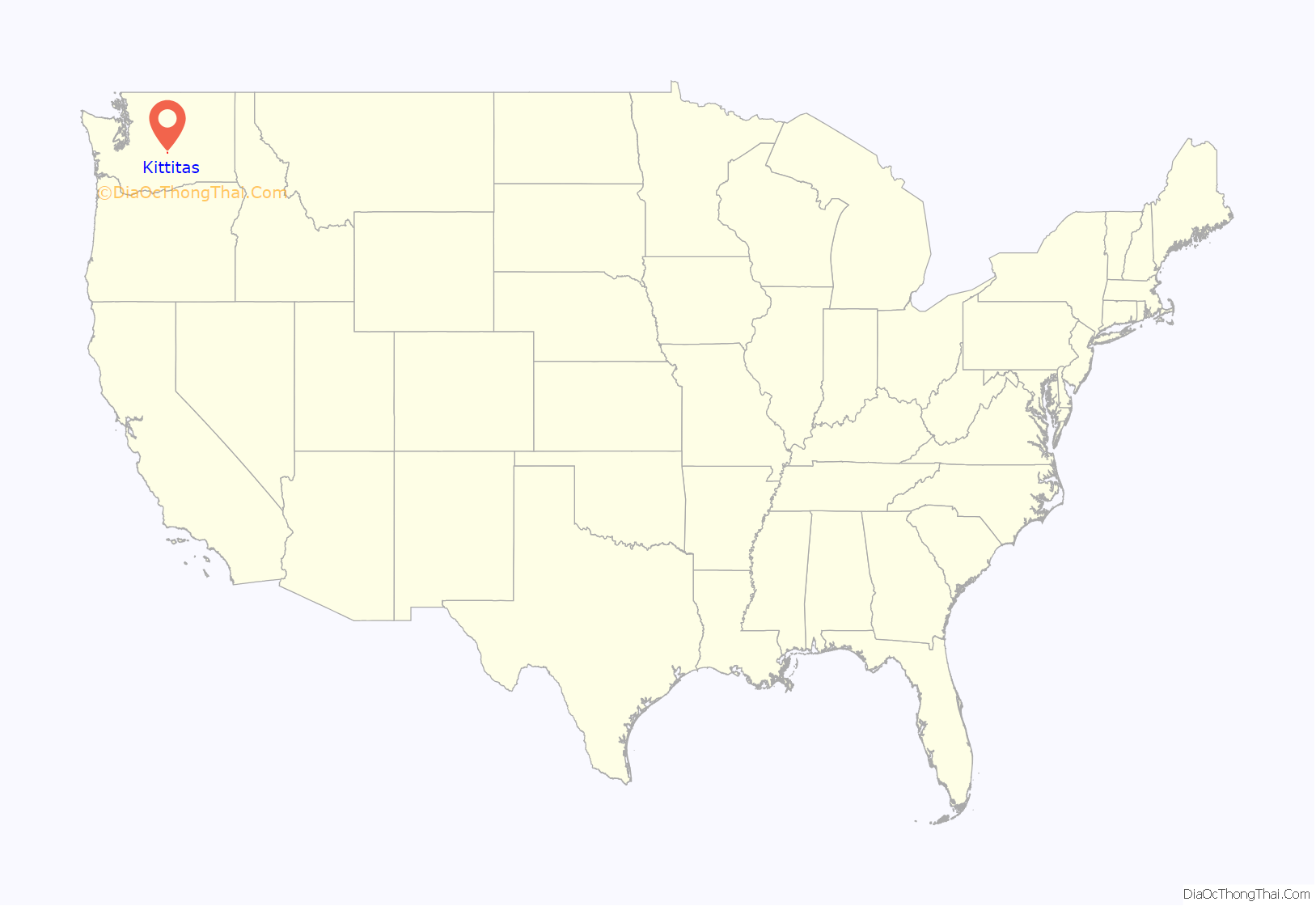
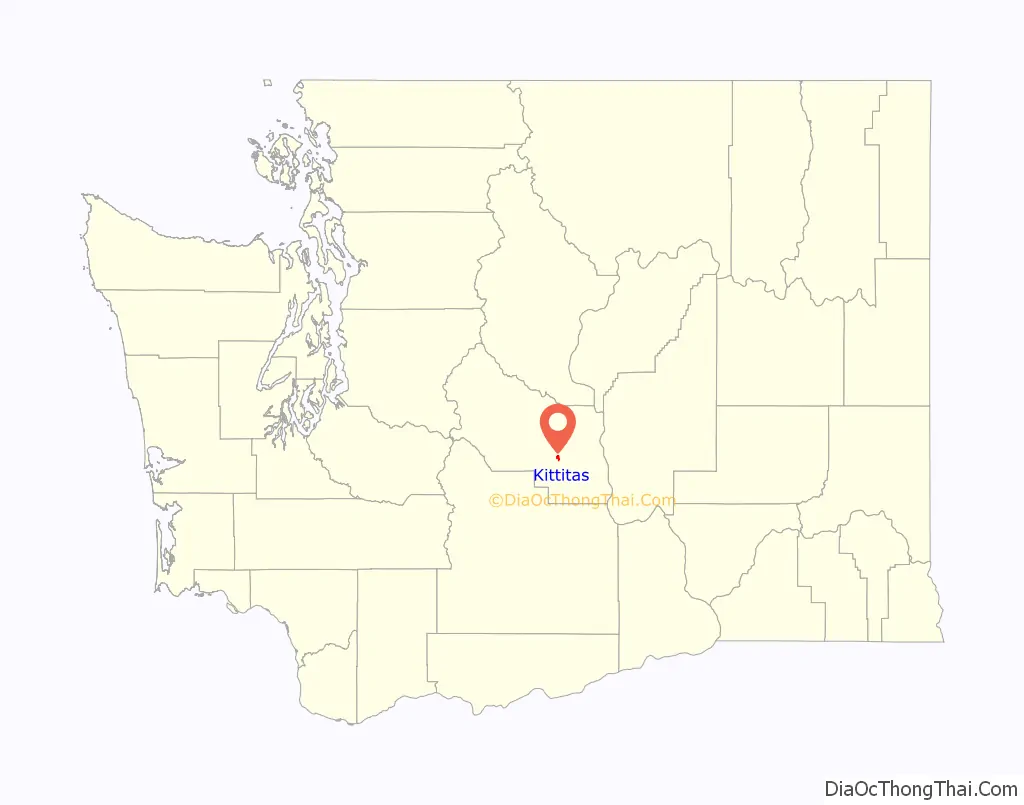
Kittitas location map. Where is Kittitas city?
History
Kittitas was established in 1883 and officially incorporated on December 9, 1931. It was founded as part of the westward expansion of the Chicago, Milwaukee, St. Paul and Pacific Railroad. The Kittitas Yard and Depot became the center of the community of Kittitas, one of the many small, agricultural towns that sprang up along the railroad lines. The railroad linked Kittitas to other small communities and the rest of the country, providing farmers and business people a way to sell their products in other towns and cities.
A post office, general merchandise and drug store, a Baptist church, agricultural warehouses, and other small businesses were built around the small depot. Along with the depot, the Kittitas Yard included storage and maintenance buildings, a water tower, and other structures necessary for the maintenance of a major transcontinental railroad.
The depot is the only significant structure still intact at the Kittitas Yard. It is an excellent example of turn-of-the-century railroad architecture, and as such was placed on the National Register of Historic Places in 1992. The depot is owned and managed by the Washington State Parks and Recreation Commission.
The Milwaukee Road, the popular name for the Chicago, Milwaukee, St. Paul, and Pacific Railroad, was founded in 1847 to serve the area from Mississippi to Wisconsin. Within 50 years, it became one of the most prosperous railroads in the country. In 1905, Milwaukee Road officials began expanding west, running lines from Chicago to Seattle. At the same time, they decided to electrify the lines through the western mountains, to increase operating efficiency. Despite the increased efficiency, the financial stability of the railroad began to crumble, prompted by the high cost of the western expansion, electrical expenses, and competition with other railroads and ships using the newly opened Panama Canal. In 1980, the last Milwaukee train traveled over the Cascades, and thereafter the system served only the Midwest.
The Milwaukee Road once served as a vital link, providing economic and social connections between small, scattered communities in Washington. Today, it is once more a link between these communities, for people who hike, bike, or ride horses along the route. Stretching more than 250 miles (400 km) from Cedar Falls near North Bend to Tekoa at the Idaho border, the John Wayne Pioneer Trail passes through tunnels, over mountains, along rivers and lakes, and through dry, sagebrush countryside.
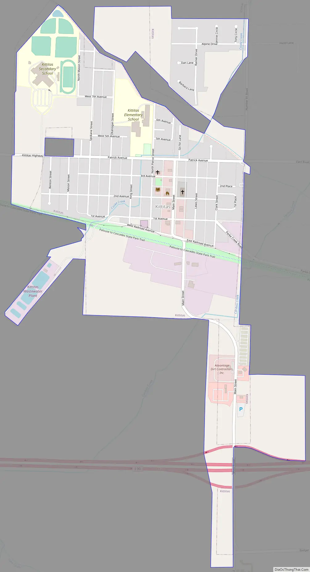
Kittitas Road Map
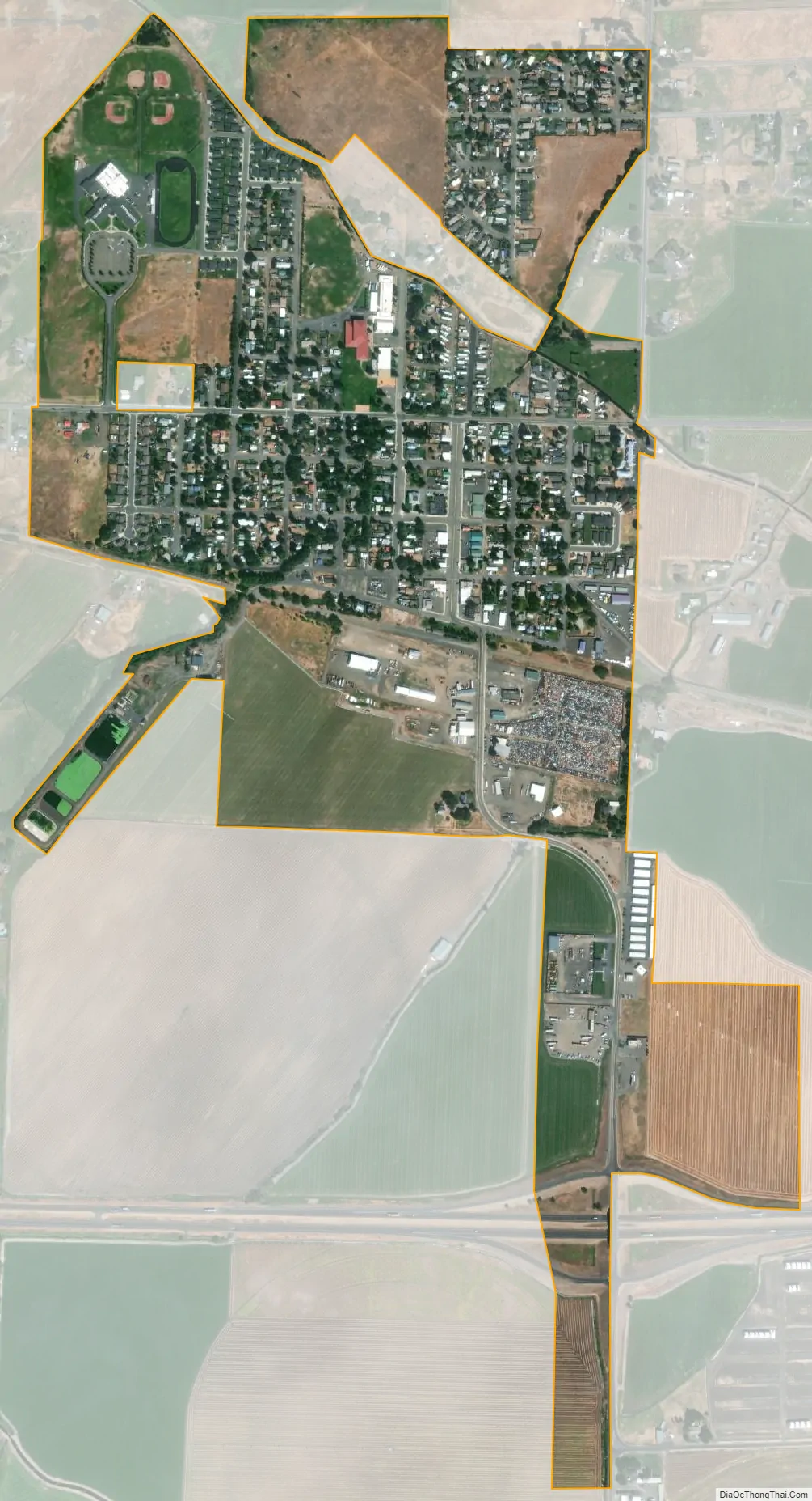
Kittitas city Satellite Map
Geography
Kittitas is located in eastern Kittitas County at 46°59′2″N 120°25′6″W / 46.98389°N 120.41833°W / 46.98389; -120.41833 (46.983821, -120.418284). Interstate 90 passes through the south end of the city, with access from Exit 115. I-90 leads west 115 miles (185 km) to Seattle and east 166 miles (267 km) to Spokane. Ellensburg, the Kittitas county seat, is 7 miles (11 km) to the west.
According to the United States Census Bureau, the city has a total area of 0.76 square miles (1.97 km), all of it land.
Climate
This region experiences warm and dry summers, with no average monthly temperatures above 71.6 °F. According to the Köppen Climate Classification system, Kittitas has a warm-summer Mediterranean climate, abbreviated “Csb” on climate maps.
See also
Map of Washington State and its subdivision:- Adams
- Asotin
- Benton
- Chelan
- Clallam
- Clark
- Columbia
- Cowlitz
- Douglas
- Ferry
- Franklin
- Garfield
- Grant
- Grays Harbor
- Island
- Jefferson
- King
- Kitsap
- Kittitas
- Klickitat
- Lewis
- Lincoln
- Mason
- Okanogan
- Pacific
- Pend Oreille
- Pierce
- San Juan
- Skagit
- Skamania
- Snohomish
- Spokane
- Stevens
- Thurston
- Wahkiakum
- Walla Walla
- Whatcom
- Whitman
- Yakima
- Alabama
- Alaska
- Arizona
- Arkansas
- California
- Colorado
- Connecticut
- Delaware
- District of Columbia
- Florida
- Georgia
- Hawaii
- Idaho
- Illinois
- Indiana
- Iowa
- Kansas
- Kentucky
- Louisiana
- Maine
- Maryland
- Massachusetts
- Michigan
- Minnesota
- Mississippi
- Missouri
- Montana
- Nebraska
- Nevada
- New Hampshire
- New Jersey
- New Mexico
- New York
- North Carolina
- North Dakota
- Ohio
- Oklahoma
- Oregon
- Pennsylvania
- Rhode Island
- South Carolina
- South Dakota
- Tennessee
- Texas
- Utah
- Vermont
- Virginia
- Washington
- West Virginia
- Wisconsin
- Wyoming