Lakeview is a census-designated place (CDP) in Grant County, Washington, United States. The population was 915 at the 2010 census, up from 797 at the 2000 census. The community is referred to as Lakeview Park on topographic maps and by locals.
| Name: | Lakeview CDP |
|---|---|
| LSAD Code: | 57 |
| LSAD Description: | CDP (suffix) |
| State: | Washington |
| County: | Grant County |
| Elevation: | 1,204 ft (367 m) |
| Total Area: | 1.1 sq mi (2.9 km²) |
| Land Area: | 1.1 sq mi (2.9 km²) |
| Water Area: | 0.0 sq mi (0.0 km²) |
| Total Population: | 915 |
| Population Density: | 813/sq mi (313.8/km²) |
| FIPS code: | 5337926 |
| GNISfeature ID: | 1852947 |
Online Interactive Map
Click on ![]() to view map in "full screen" mode.
to view map in "full screen" mode.
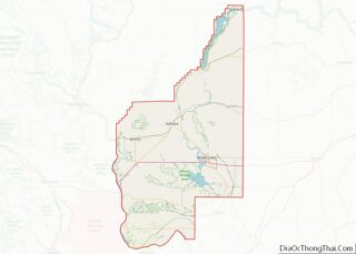
Lakeview location map. Where is Lakeview CDP?
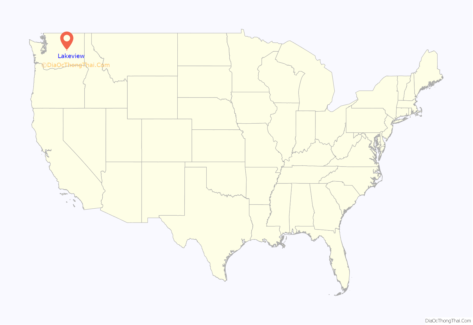
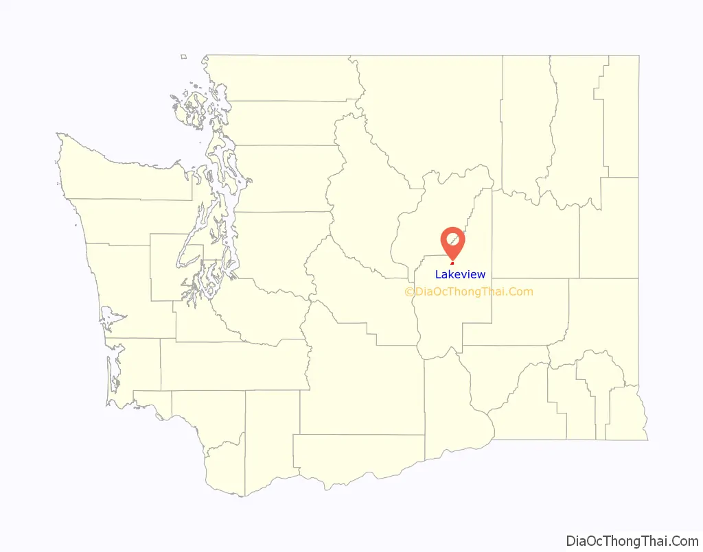
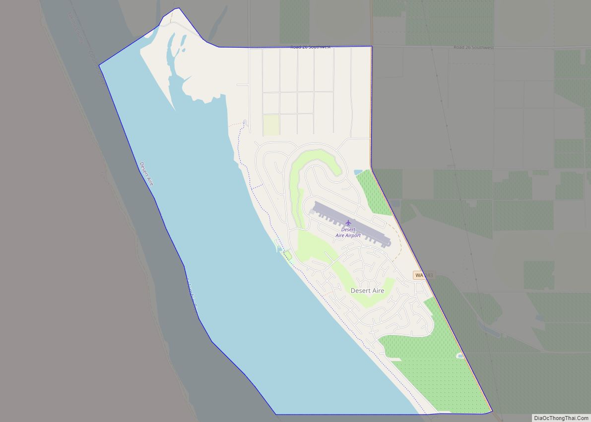
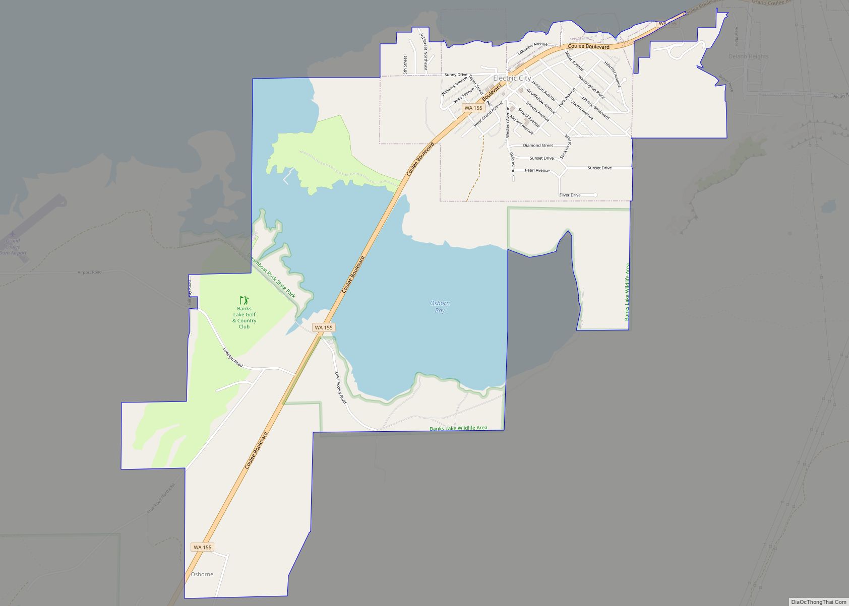
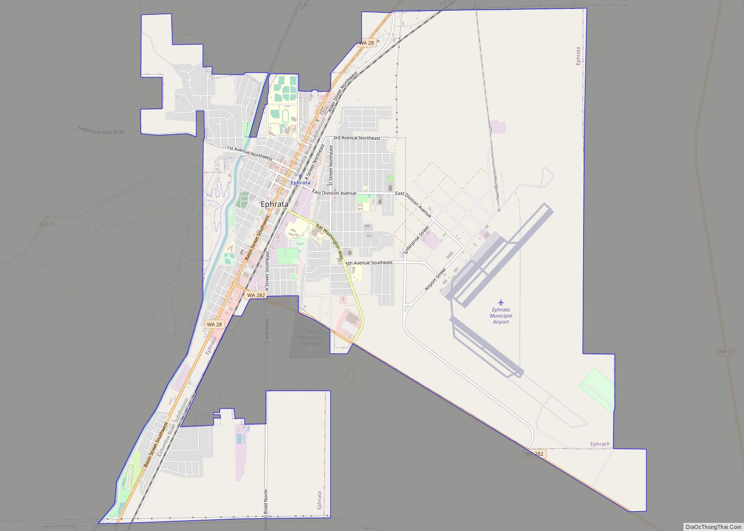
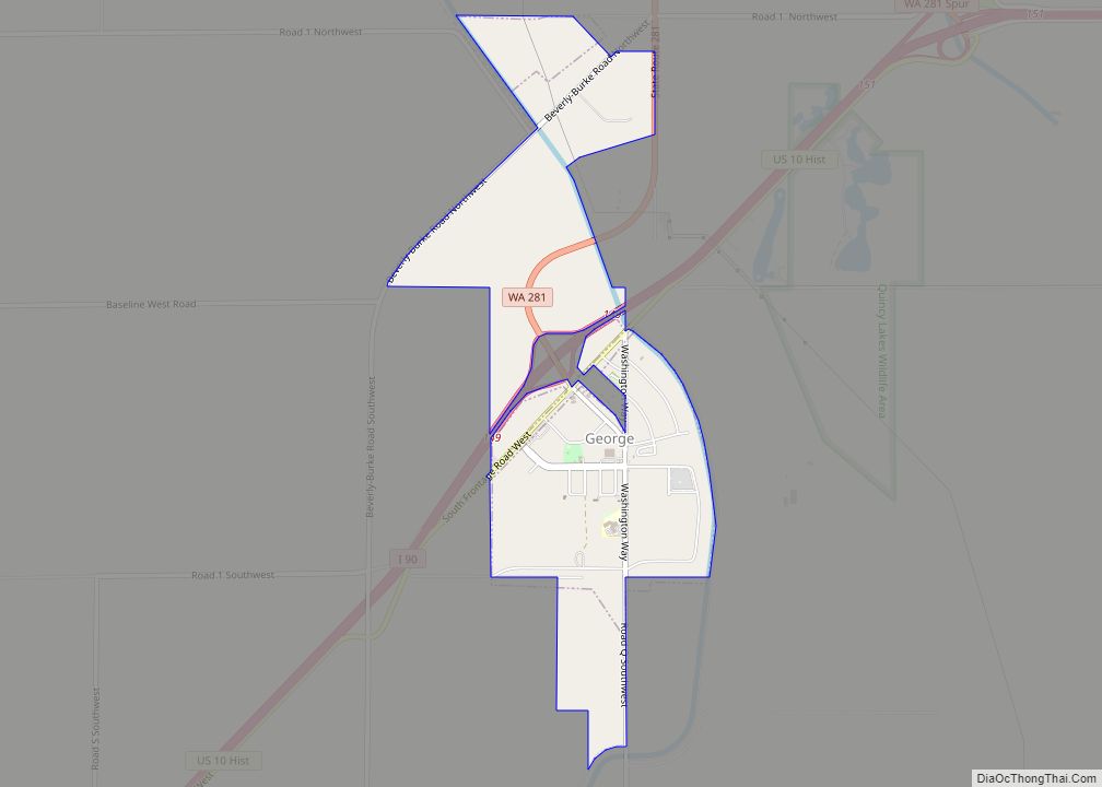
Lakeview Road Map
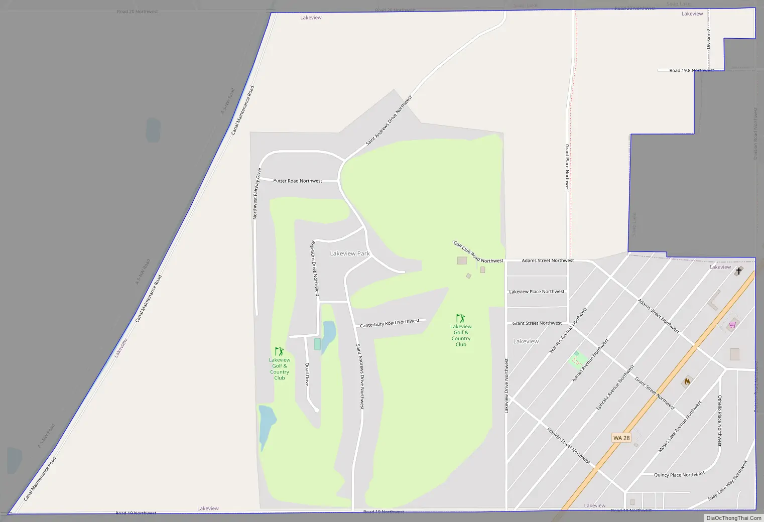
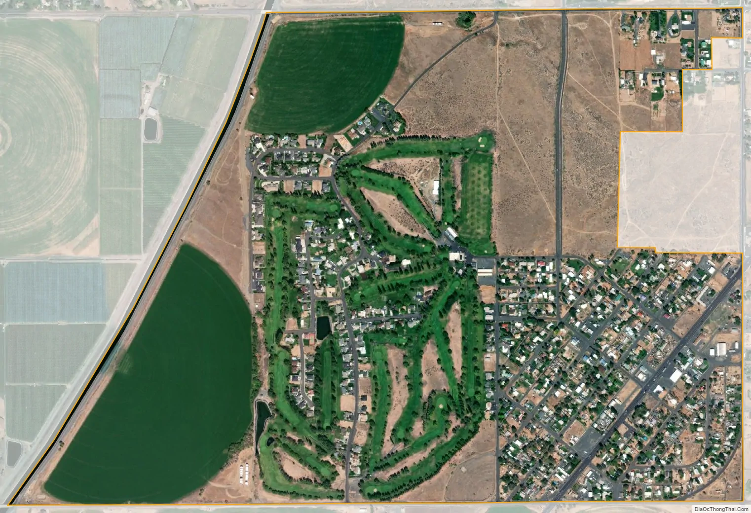
Lakeview city Satellite Map
Geography
Lakeview is located in northern Grant County at 47°22′23″N 119°29′56″W / 47.37306°N 119.49889°W / 47.37306; -119.49889 (47.372937, -119.499004), along the southern border of the city of Soap Lake. Washington State Route 28 passes through the southeast corner of the CDP, leading east 42 miles (68 km) to Odessa and southwest 5 miles (8 km) to Ephrata.
According to the United States Census Bureau, the Lakeview CDP has a total area of 1.1 square miles (2.9 km), all of it land.
See also
Map of Washington State and its subdivision:- Adams
- Asotin
- Benton
- Chelan
- Clallam
- Clark
- Columbia
- Cowlitz
- Douglas
- Ferry
- Franklin
- Garfield
- Grant
- Grays Harbor
- Island
- Jefferson
- King
- Kitsap
- Kittitas
- Klickitat
- Lewis
- Lincoln
- Mason
- Okanogan
- Pacific
- Pend Oreille
- Pierce
- San Juan
- Skagit
- Skamania
- Snohomish
- Spokane
- Stevens
- Thurston
- Wahkiakum
- Walla Walla
- Whatcom
- Whitman
- Yakima
- Alabama
- Alaska
- Arizona
- Arkansas
- California
- Colorado
- Connecticut
- Delaware
- District of Columbia
- Florida
- Georgia
- Hawaii
- Idaho
- Illinois
- Indiana
- Iowa
- Kansas
- Kentucky
- Louisiana
- Maine
- Maryland
- Massachusetts
- Michigan
- Minnesota
- Mississippi
- Missouri
- Montana
- Nebraska
- Nevada
- New Hampshire
- New Jersey
- New Mexico
- New York
- North Carolina
- North Dakota
- Ohio
- Oklahoma
- Oregon
- Pennsylvania
- Rhode Island
- South Carolina
- South Dakota
- Tennessee
- Texas
- Utah
- Vermont
- Virginia
- Washington
- West Virginia
- Wisconsin
- Wyoming