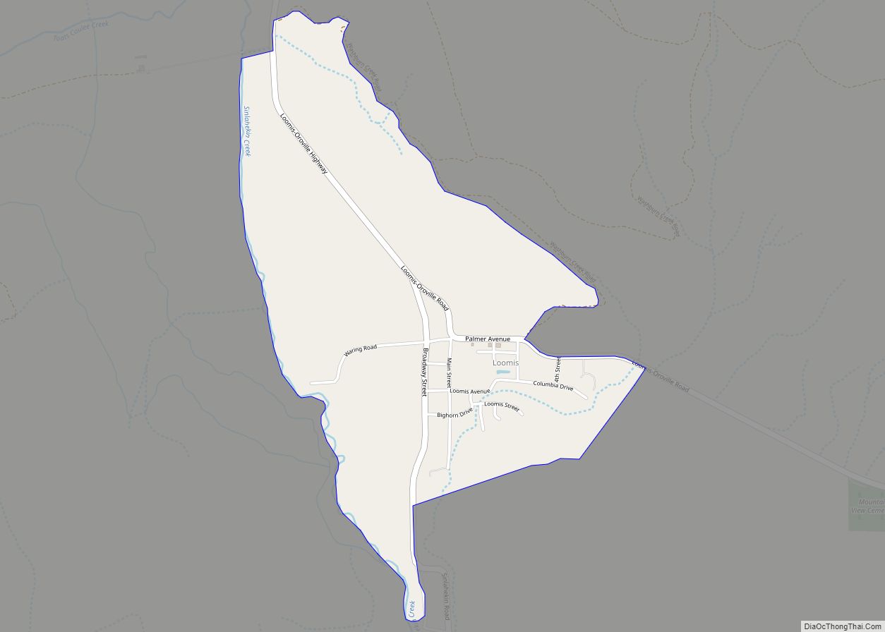
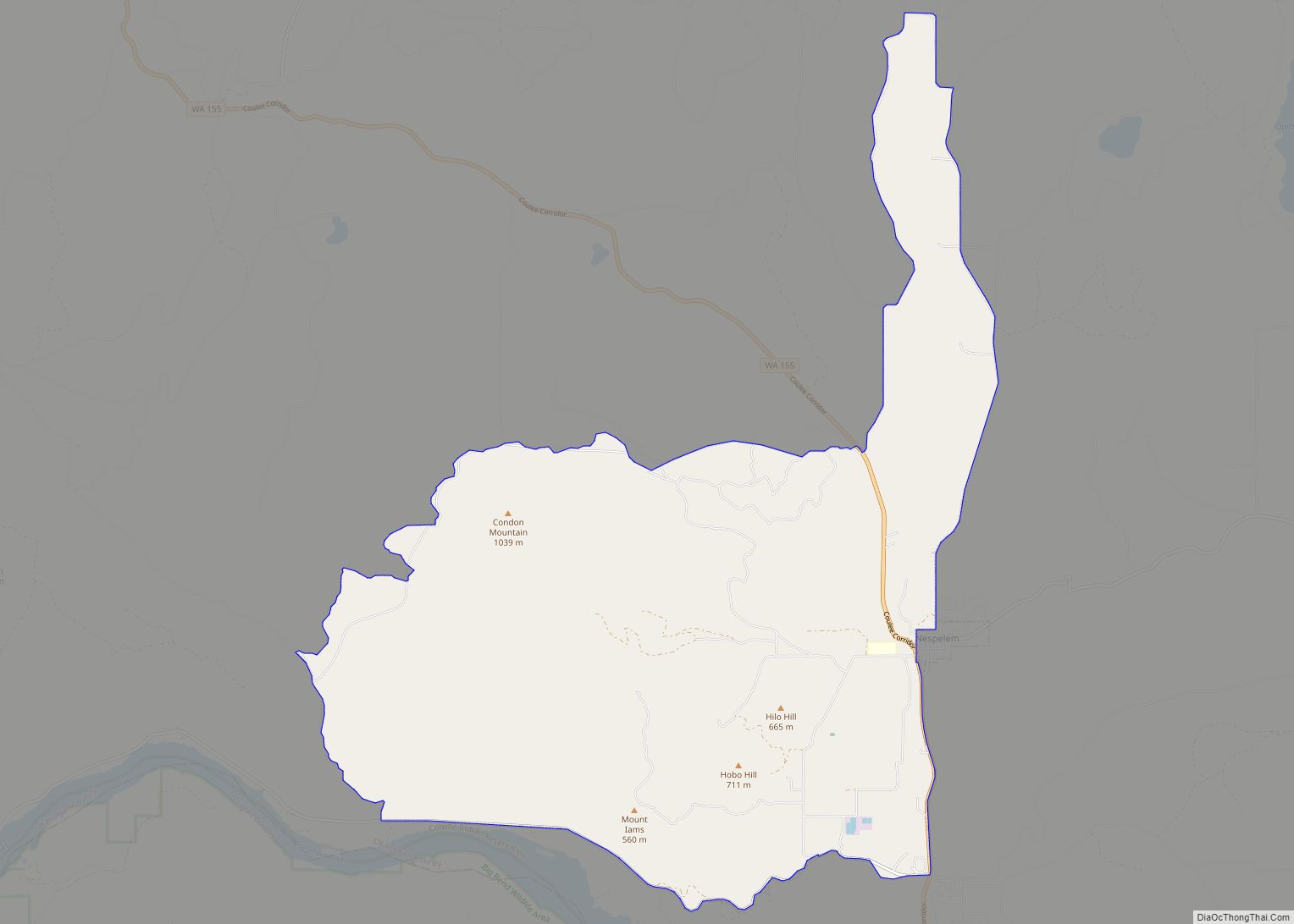
Loomis is a census-designated place (CDP) in Okanogan County, Washington, United States. The population was 159 at the 2010 Census. Its area is 0.85 square miles (2.2 km), which is all land and no water.
| Name: | Loomis CDP |
|---|---|
| LSAD Code: | 57 |
| LSAD Description: | CDP (suffix) |
| State: | Washington |
| County: | Okanogan County |
| Elevation: | 1,316 ft (401 m) |
| Total Area: | 0.85 sq mi (2.2 km²) |
| Land Area: | 0.85 sq mi (2.2 km²) |
| Water Area: | 0 sq mi (0 km²) 0% |
| Total Population: | 159 |
| Population Density: | 190/sq mi (72/km²) |
| ZIP code: | 98827 |
| Area code: | 509 |
| FIPS code: | 5340350 |
Online Interactive Map
Click on ![]() to view map in "full screen" mode.
to view map in "full screen" mode.
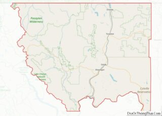
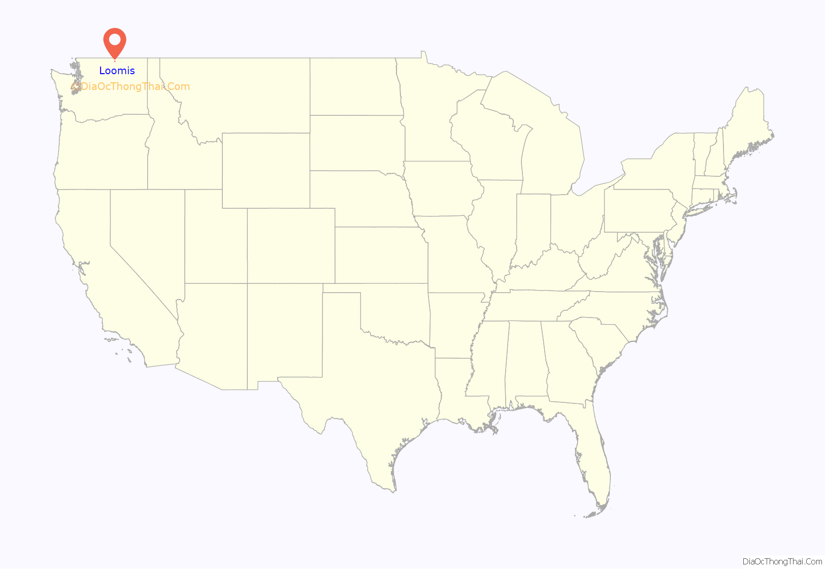
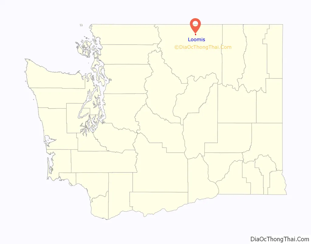
Loomis location map. Where is Loomis CDP?
History
A post office called Loomis has been in operation since 1889. The community was named after J. A. Loomis, a local storekeeper.
On November 3, 1901, J.M. Haggerty was tarred and feathered in Loomis. He made comments to The Spokesman-Review about the lack of success of the Palmer Mountain Tunnel Company. The comments were resented and a mob was waiting for him when he stepped off the stage. During an impromptu mass meeting, “Suddenly a dozen men grabbed Haggerty, and before half the crowd knew what was happening a bucket of tar and pillows were produced.” After half an hour of being paraded through the street covered in tar and feathers, he was released.
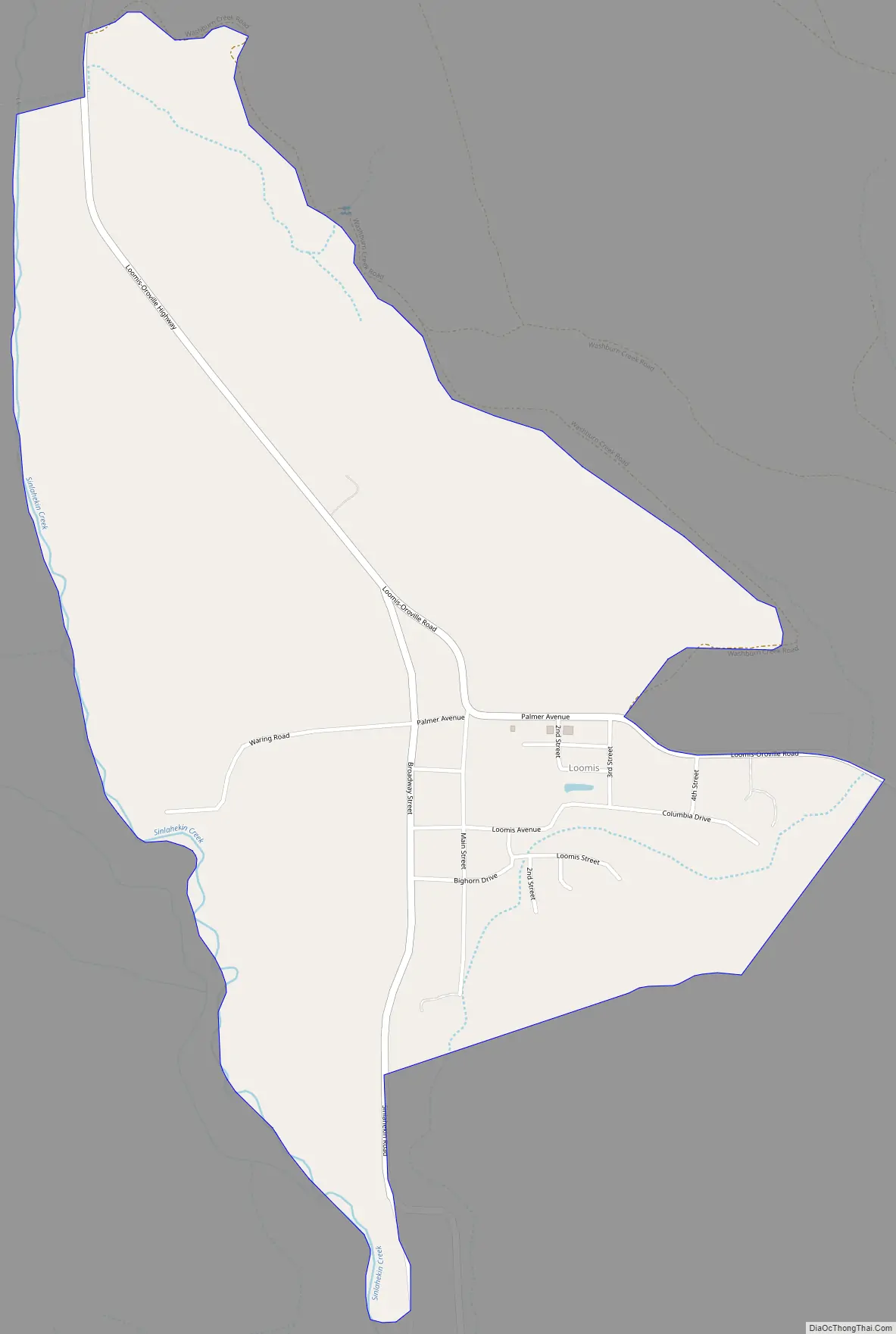
Loomis Road Map
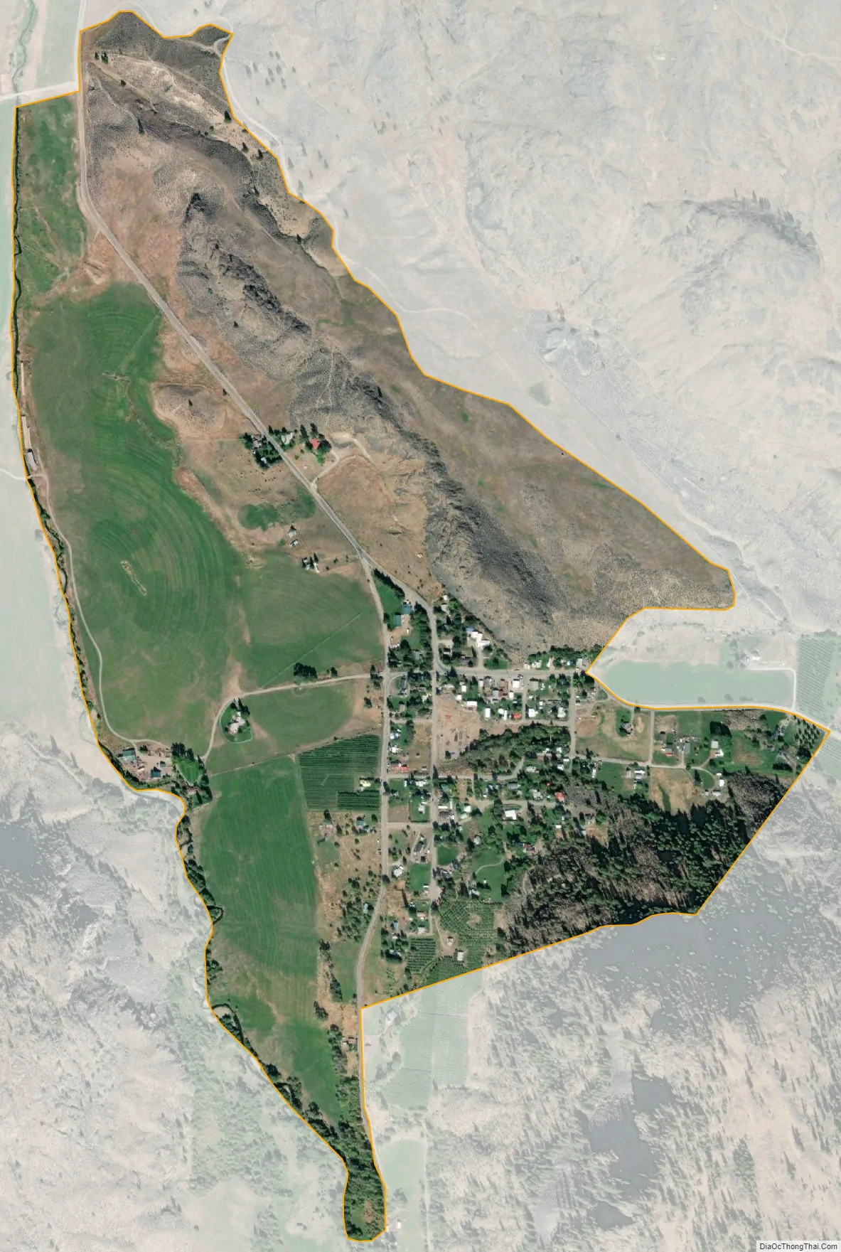
Loomis city Satellite Map
See also
Map of Washington State and its subdivision:- Adams
- Asotin
- Benton
- Chelan
- Clallam
- Clark
- Columbia
- Cowlitz
- Douglas
- Ferry
- Franklin
- Garfield
- Grant
- Grays Harbor
- Island
- Jefferson
- King
- Kitsap
- Kittitas
- Klickitat
- Lewis
- Lincoln
- Mason
- Okanogan
- Pacific
- Pend Oreille
- Pierce
- San Juan
- Skagit
- Skamania
- Snohomish
- Spokane
- Stevens
- Thurston
- Wahkiakum
- Walla Walla
- Whatcom
- Whitman
- Yakima
- Alabama
- Alaska
- Arizona
- Arkansas
- California
- Colorado
- Connecticut
- Delaware
- District of Columbia
- Florida
- Georgia
- Hawaii
- Idaho
- Illinois
- Indiana
- Iowa
- Kansas
- Kentucky
- Louisiana
- Maine
- Maryland
- Massachusetts
- Michigan
- Minnesota
- Mississippi
- Missouri
- Montana
- Nebraska
- Nevada
- New Hampshire
- New Jersey
- New Mexico
- New York
- North Carolina
- North Dakota
- Ohio
- Oklahoma
- Oregon
- Pennsylvania
- Rhode Island
- South Carolina
- South Dakota
- Tennessee
- Texas
- Utah
- Vermont
- Virginia
- Washington
- West Virginia
- Wisconsin
- Wyoming