Mabton is a city in Yakima County, Washington, United States. The population was 1,959 at the 2020 census. Incorporated during the first few years of the 20th century, it is located at the eastern edge of the Yakama Indian Reservation.
| Name: | Mabton city |
|---|---|
| LSAD Code: | 25 |
| LSAD Description: | city (suffix) |
| State: | Washington |
| County: | Yakima County |
| Incorporated: | November 7, 1905 |
| Elevation: | 715 ft (218 m) |
| Total Area: | 0.82 sq mi (2.13 km²) |
| Land Area: | 0.82 sq mi (2.13 km²) |
| Water Area: | 0.00 sq mi (0.00 km²) |
| Total Population: | 1,959 |
| Population Density: | 2,752.43/sq mi (1,062.70/km²) |
| ZIP code: | 98935 |
| Area code: | 509 |
| FIPS code: | 5340980 |
| GNISfeature ID: | 1512417 |
| Website: | cityofmabton.com |
Online Interactive Map
Click on ![]() to view map in "full screen" mode.
to view map in "full screen" mode.
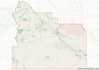
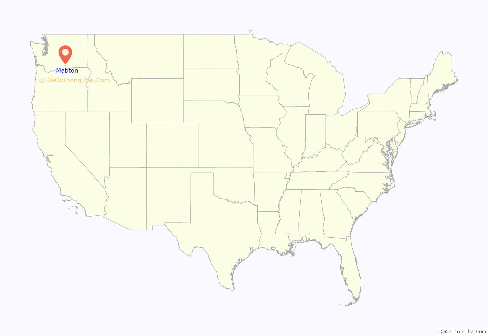
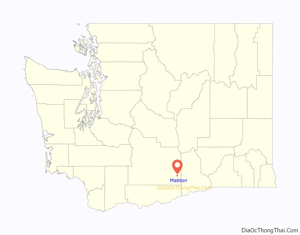
Mabton location map. Where is Mabton city?
History
The Mabton area’s original inhabitants were the Yakama people, who were forced onto a reservation in 1855. Mabton’s existence as a town is due to the Northern Pacific Railway, which arrived in the area around 1884 and built a water tower and section house on the site. Nothing else existed at Mabton until 1892 when Sam P. Flower built a store and a warehouse. He soon became the town’s first postmaster. Mabton was named by Charlie Sandburg, a Swedish railworker, who proposed the name “Mabletown” for the wife (or daughter) of a railroad official who had spoken kind words to track workers during an inspection. By 1895, Mabton had several stores, a hotel, a railroad depot and a schoolhouse. The Mabton Townsite Company, formed by Sam P. Flower and J.A. Humphrey, made the first plat in 1902, and by 1904, it had more than a dozen businesses and a newspaper. The town of Mabton officially incorporated on November 7, 1905.
Today, residents primarily are employed in occupations related to agriculture, especially hop growing and grape growing.
The Mabton School District has been the repeated beneficiary of grants from the Bill and Melinda Gates Foundation:
- $558,000 over five years (from 2000 to 2005) to enhance student access to technology;
- In 2001, Mabton High School was one of sixteen high schools chosen to participate in the Washington State Achievers Program; the school gets a share proportional to its student population (about 330 students) of more than $9 million to support school improvement and redesign efforts and more than $100 million for college scholarships for its students;
- Over $40,000 over five years (2001–2006) to improve high school education and access to higher education; and
- Over $125,000 over 34 months (2001–2004) to support professional development programs in partnership with Heritage College.
A small ranch near Mabton was home to the first confirmed case of mad cow disease in the United States on December 23, 2003, later confirmed to be a cow of Canadian origin imported to the U.S.
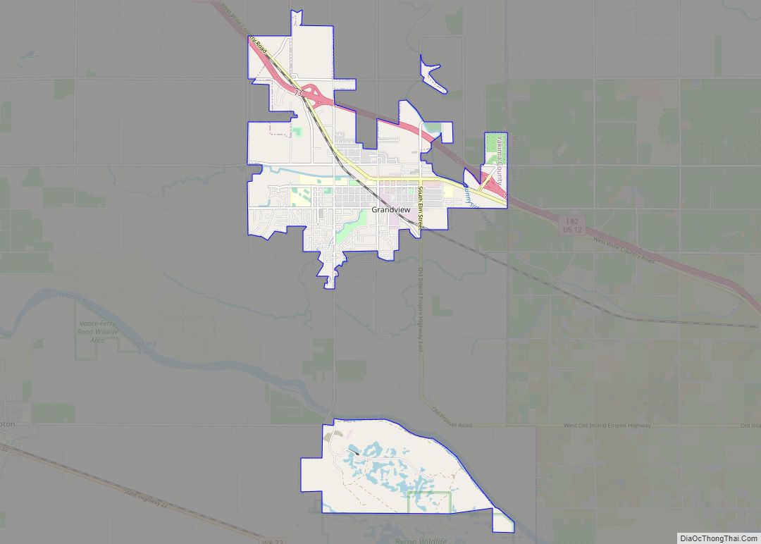
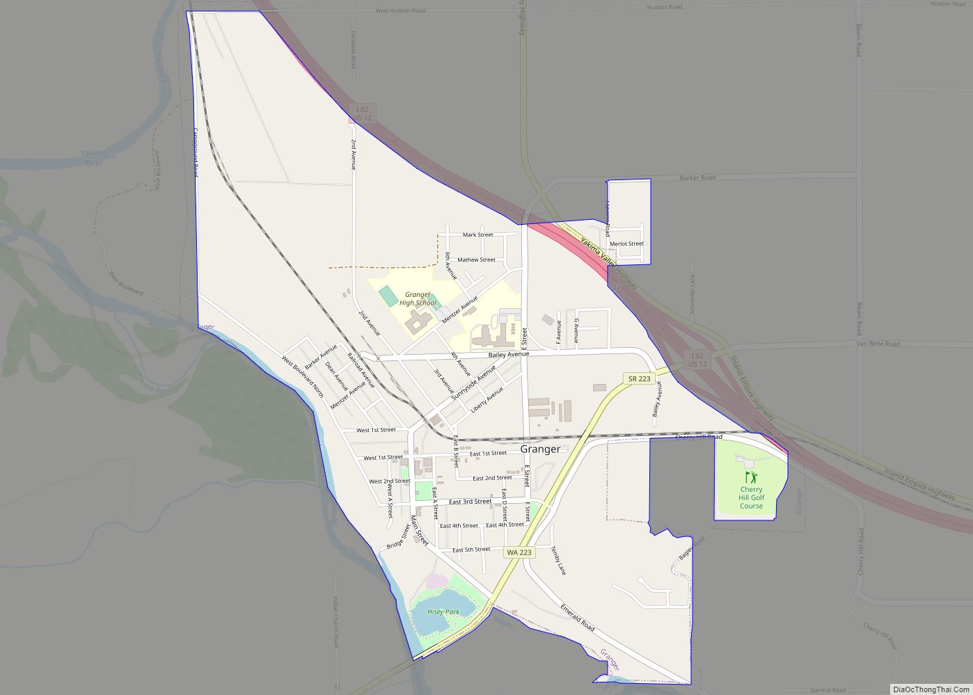
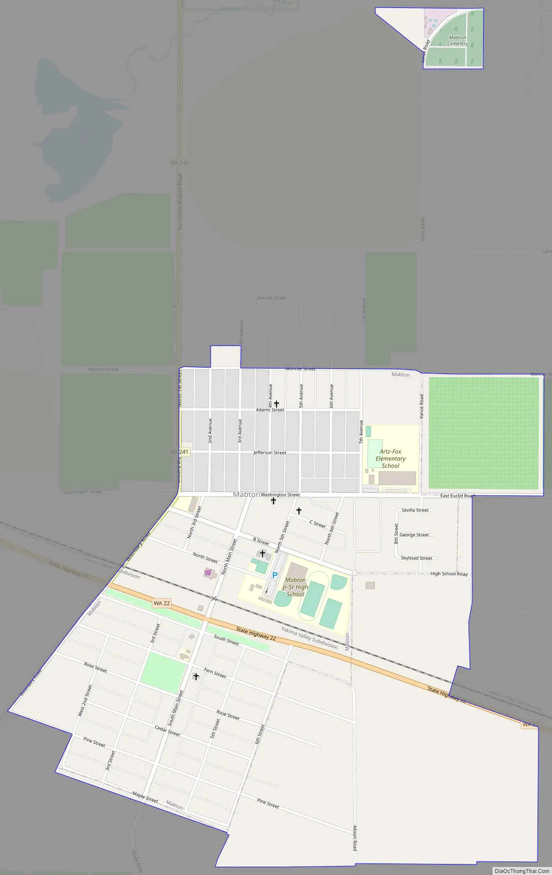
Mabton Road Map
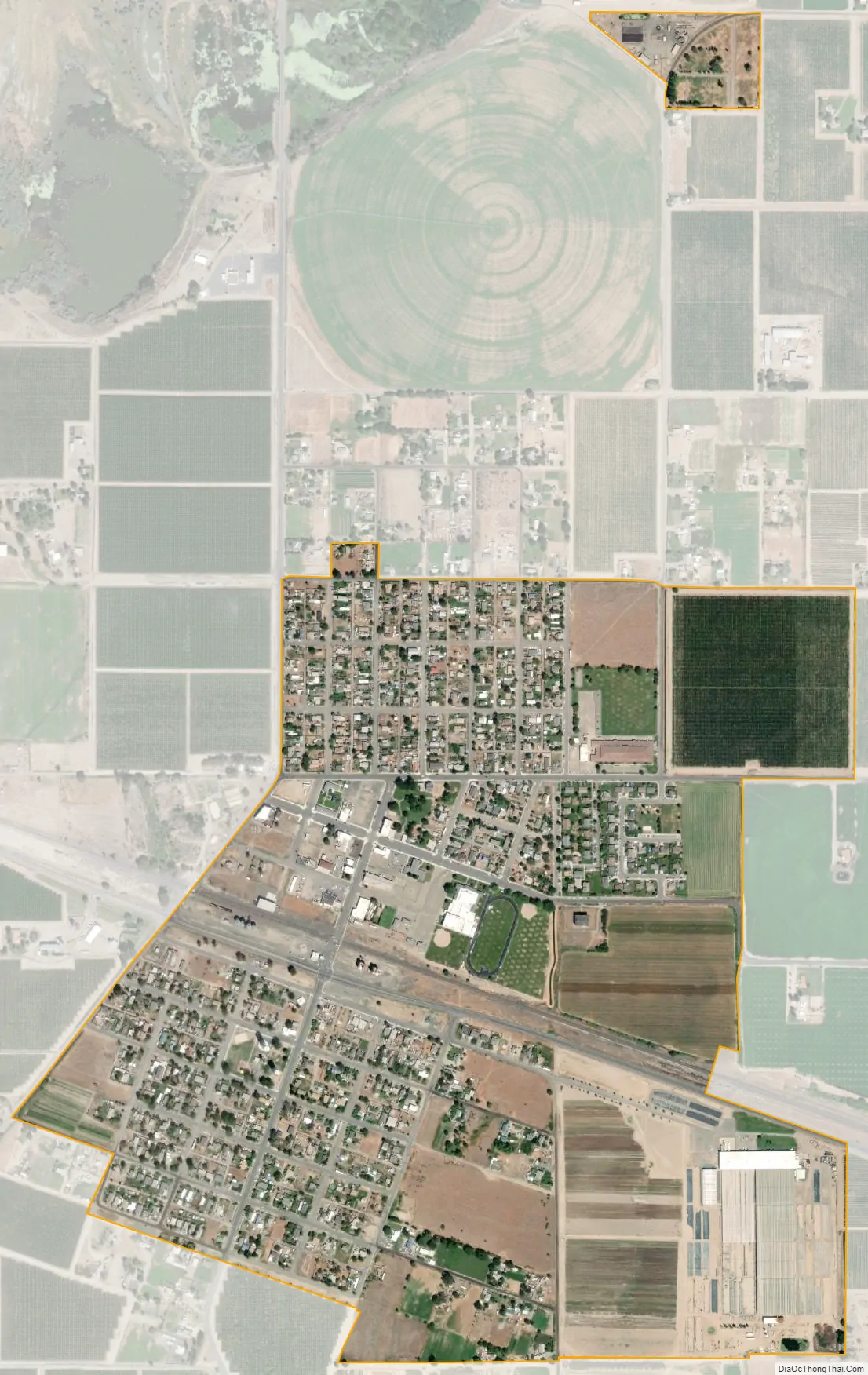
Mabton city Satellite Map
Geography
Mabton is located at 46°12’42” North, 119°59’47” West (46.211618, -119.996520). According to the United States Census Bureau, the city has a total area of 0.80 square miles (2.07 km), all of it land.
See also
Map of Washington State and its subdivision:- Adams
- Asotin
- Benton
- Chelan
- Clallam
- Clark
- Columbia
- Cowlitz
- Douglas
- Ferry
- Franklin
- Garfield
- Grant
- Grays Harbor
- Island
- Jefferson
- King
- Kitsap
- Kittitas
- Klickitat
- Lewis
- Lincoln
- Mason
- Okanogan
- Pacific
- Pend Oreille
- Pierce
- San Juan
- Skagit
- Skamania
- Snohomish
- Spokane
- Stevens
- Thurston
- Wahkiakum
- Walla Walla
- Whatcom
- Whitman
- Yakima
- Alabama
- Alaska
- Arizona
- Arkansas
- California
- Colorado
- Connecticut
- Delaware
- District of Columbia
- Florida
- Georgia
- Hawaii
- Idaho
- Illinois
- Indiana
- Iowa
- Kansas
- Kentucky
- Louisiana
- Maine
- Maryland
- Massachusetts
- Michigan
- Minnesota
- Mississippi
- Missouri
- Montana
- Nebraska
- Nevada
- New Hampshire
- New Jersey
- New Mexico
- New York
- North Carolina
- North Dakota
- Ohio
- Oklahoma
- Oregon
- Pennsylvania
- Rhode Island
- South Carolina
- South Dakota
- Tennessee
- Texas
- Utah
- Vermont
- Virginia
- Washington
- West Virginia
- Wisconsin
- Wyoming