Parker is a census-designated place and unincorporated community in central Yakima County, Washington, United States. It is located on U.S. Route 97 between the cities of Union Gap and Wapato on the Yakama Indian Reservation. The town had a population of 154 at the 2010 census.
| Name: | Parker CDP |
|---|---|
| LSAD Code: | 57 |
| LSAD Description: | CDP (suffix) |
| State: | Washington |
| County: | Yakima County |
| Elevation: | 928 ft (283 m) |
| Total Area: | 154 |
| ZIP code: | 98939 |
| Area code: | 509 |
| FIPS code: | 5353265 |
| GNISfeature ID: | 1512547 |
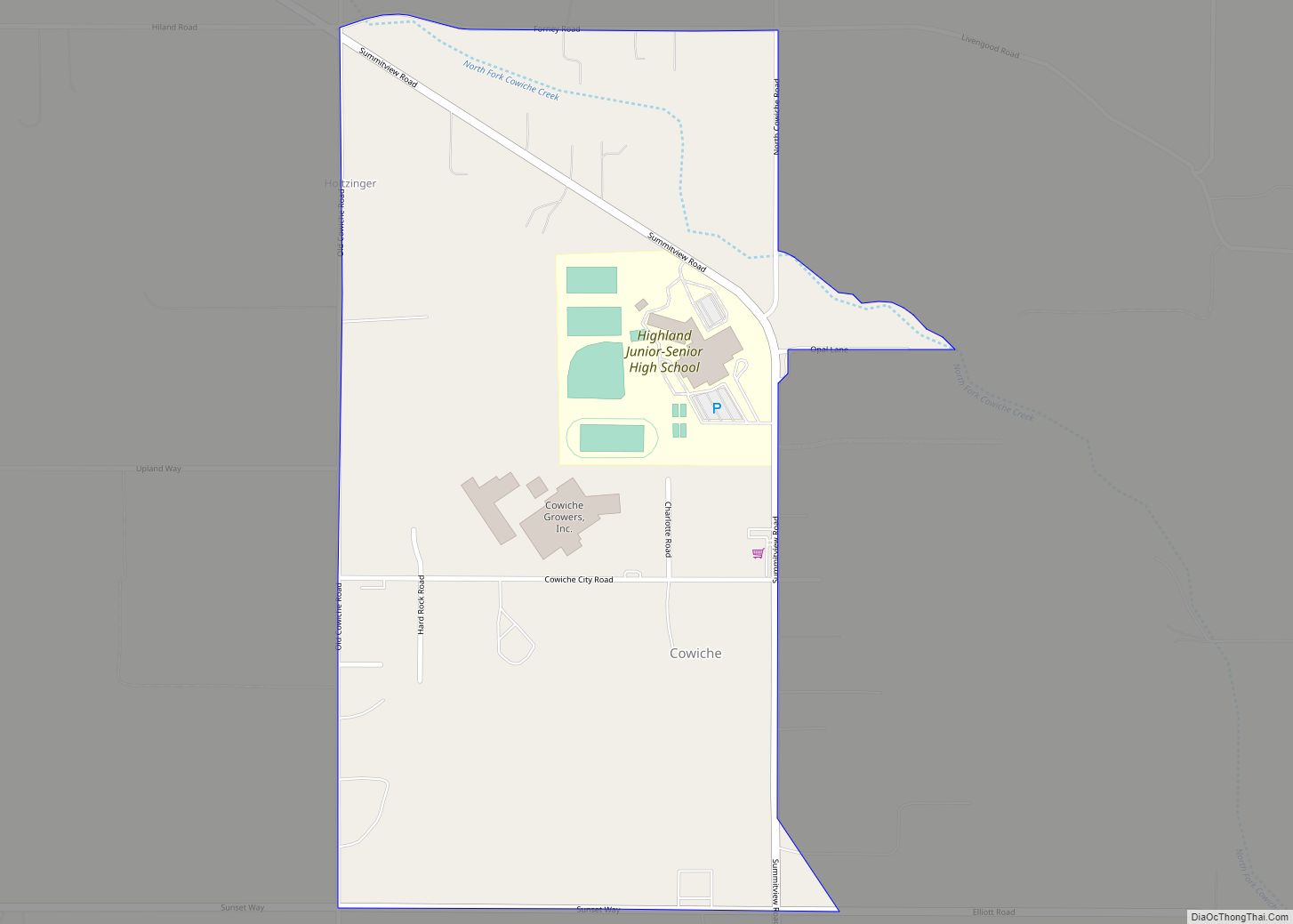
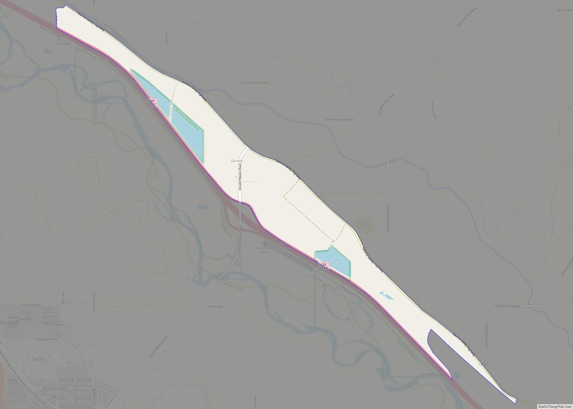
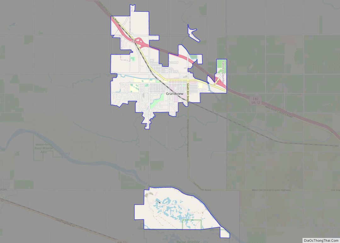
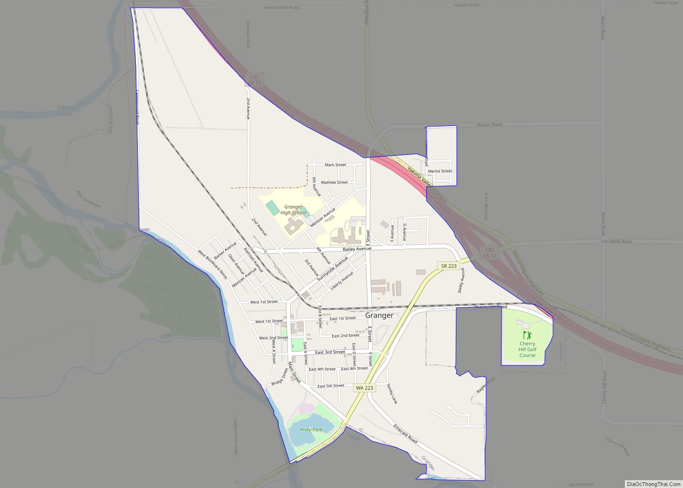
Online Interactive Map
Click on ![]() to view map in "full screen" mode.
to view map in "full screen" mode.
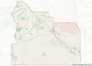
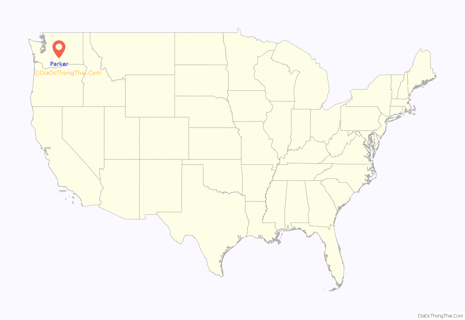
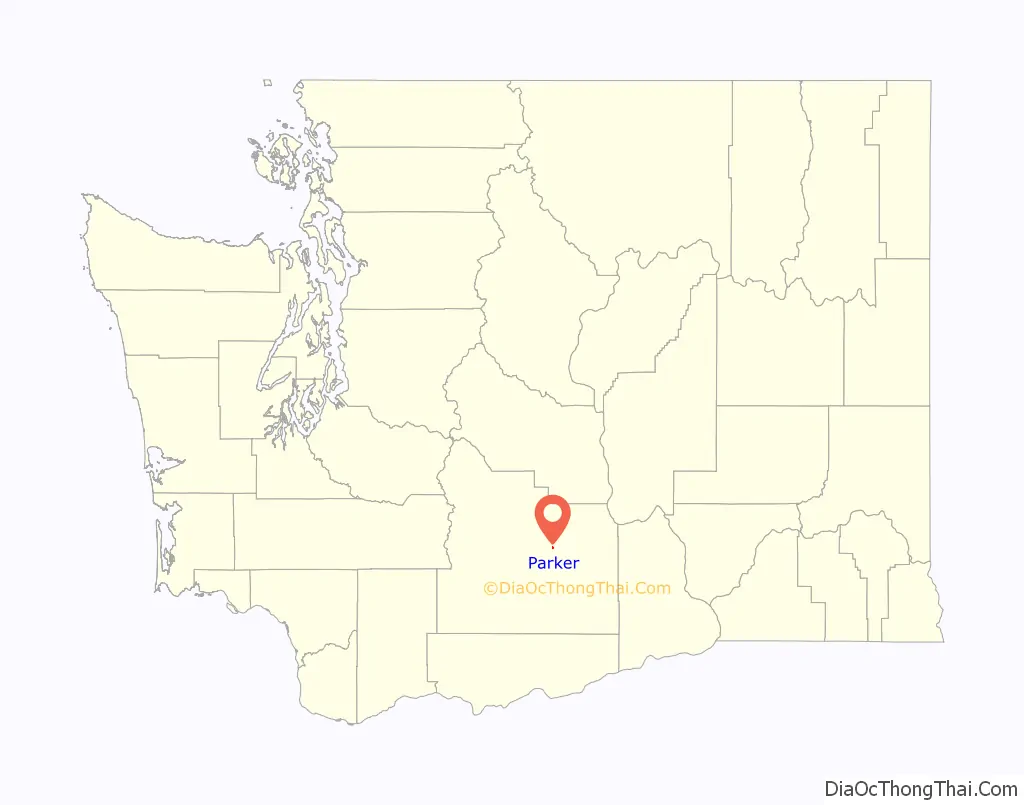
Parker location map. Where is Parker CDP?
History
The first plat for the town of Parker was filed January 6, 1909. It was originally settled by William Parker in 1864, and was named for him by the Northern Pacific Railway in 1890.
Parker does not have any form of city government. Police service is delivered by the Yakima County Sheriffs department, and a local volunteer fire station. The U.S. Postal Service provides post office box delivery on weekdays and Saturday. The ZIP code for Parker, Washington is 98939. Currently, children attend Wapato public schools in the Wapato School District approximately four miles southeast of town.
Businesses include a wood cutting businesses, Nickoloffs Fruit Stand, and a fireworks stand that is open during the Fourth of July and New Years holiday seasons.
Local residents are primarily employed in occupations related to agriculture and fruit orchards.
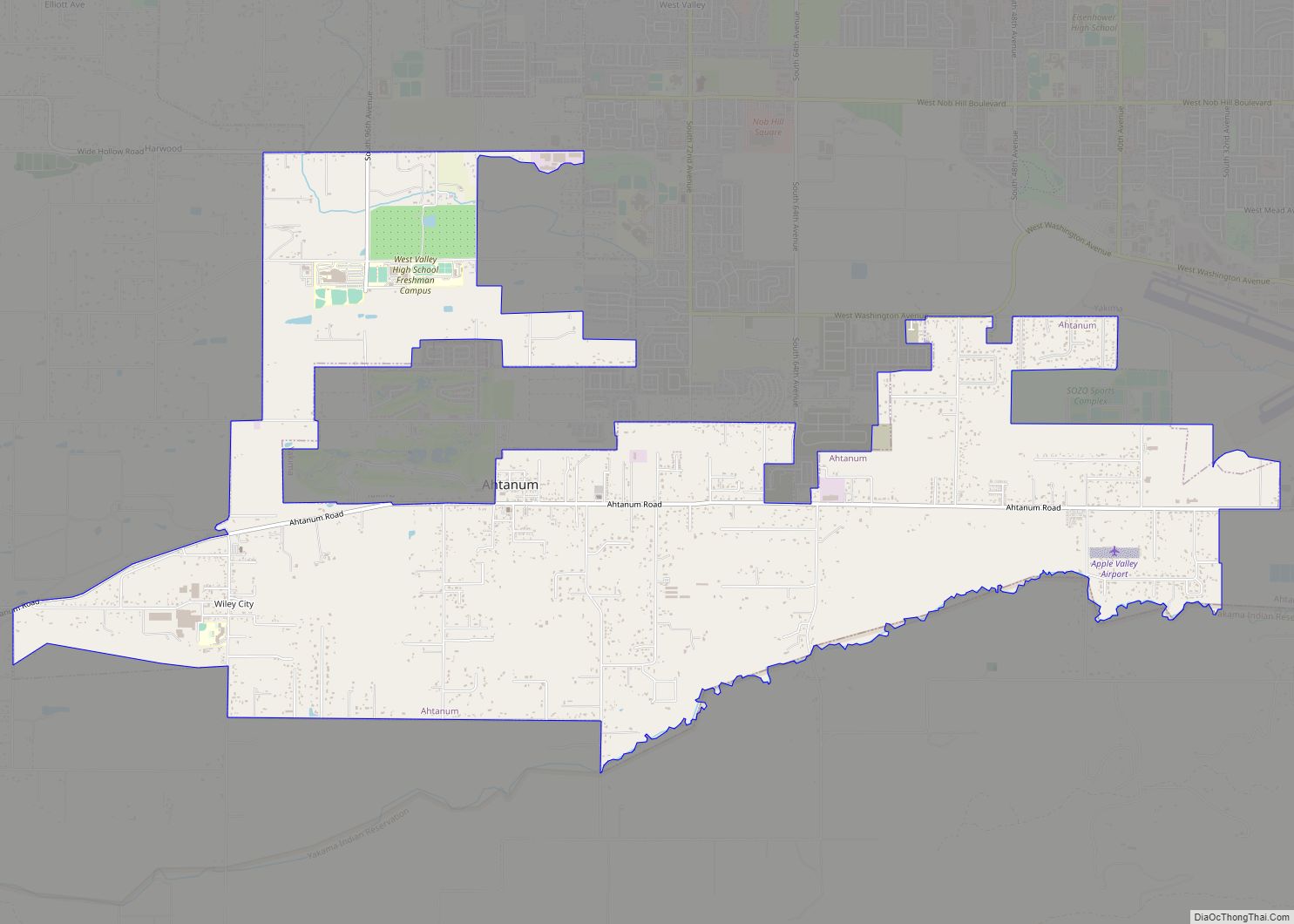
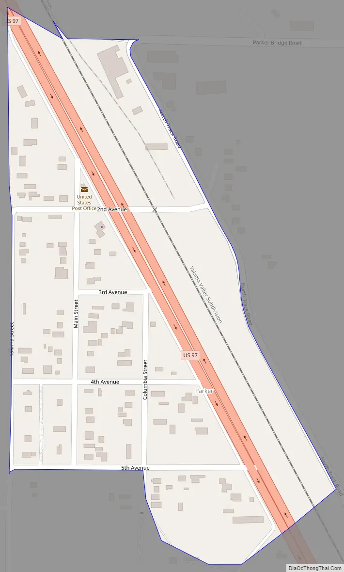
Parker Road Map
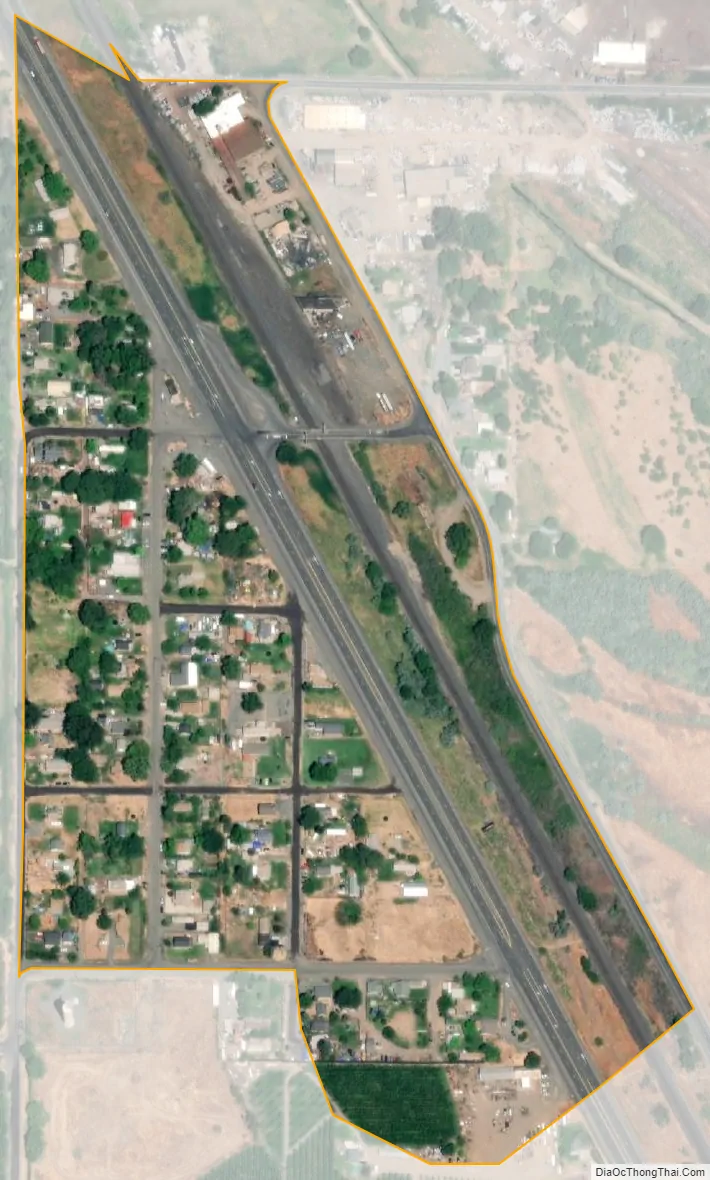
Parker city Satellite Map
See also
Map of Washington State and its subdivision:- Adams
- Asotin
- Benton
- Chelan
- Clallam
- Clark
- Columbia
- Cowlitz
- Douglas
- Ferry
- Franklin
- Garfield
- Grant
- Grays Harbor
- Island
- Jefferson
- King
- Kitsap
- Kittitas
- Klickitat
- Lewis
- Lincoln
- Mason
- Okanogan
- Pacific
- Pend Oreille
- Pierce
- San Juan
- Skagit
- Skamania
- Snohomish
- Spokane
- Stevens
- Thurston
- Wahkiakum
- Walla Walla
- Whatcom
- Whitman
- Yakima
- Alabama
- Alaska
- Arizona
- Arkansas
- California
- Colorado
- Connecticut
- Delaware
- District of Columbia
- Florida
- Georgia
- Hawaii
- Idaho
- Illinois
- Indiana
- Iowa
- Kansas
- Kentucky
- Louisiana
- Maine
- Maryland
- Massachusetts
- Michigan
- Minnesota
- Mississippi
- Missouri
- Montana
- Nebraska
- Nevada
- New Hampshire
- New Jersey
- New Mexico
- New York
- North Carolina
- North Dakota
- Ohio
- Oklahoma
- Oregon
- Pennsylvania
- Rhode Island
- South Carolina
- South Dakota
- Tennessee
- Texas
- Utah
- Vermont
- Virginia
- Washington
- West Virginia
- Wisconsin
- Wyoming