Quincy is a city in Grant County, Washington, United States. The population was 7,543 at the 2020 census.
| Name: | Quincy city |
|---|---|
| LSAD Code: | 25 |
| LSAD Description: | city (suffix) |
| State: | Washington |
| County: | Grant County |
| Elevation: | 1,302 ft (397 m) |
| Total Area: | 6.13 sq mi (15.88 km²) |
| Land Area: | 6.05 sq mi (15.67 km²) |
| Water Area: | 0.08 sq mi (0.21 km²) |
| Total Population: | 7,543 |
| Population Density: | 1,327.55/sq mi (512.60/km²) |
| ZIP code: | 98848 |
| Area code: | 509 |
| FIPS code: | 5357115 |
| GNISfeature ID: | 1512590 |
| Website: | quincywashington.us |
Online Interactive Map
Click on ![]() to view map in "full screen" mode.
to view map in "full screen" mode.
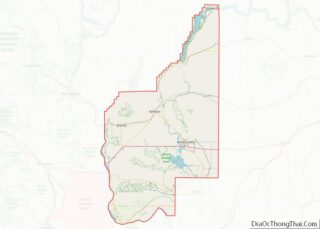
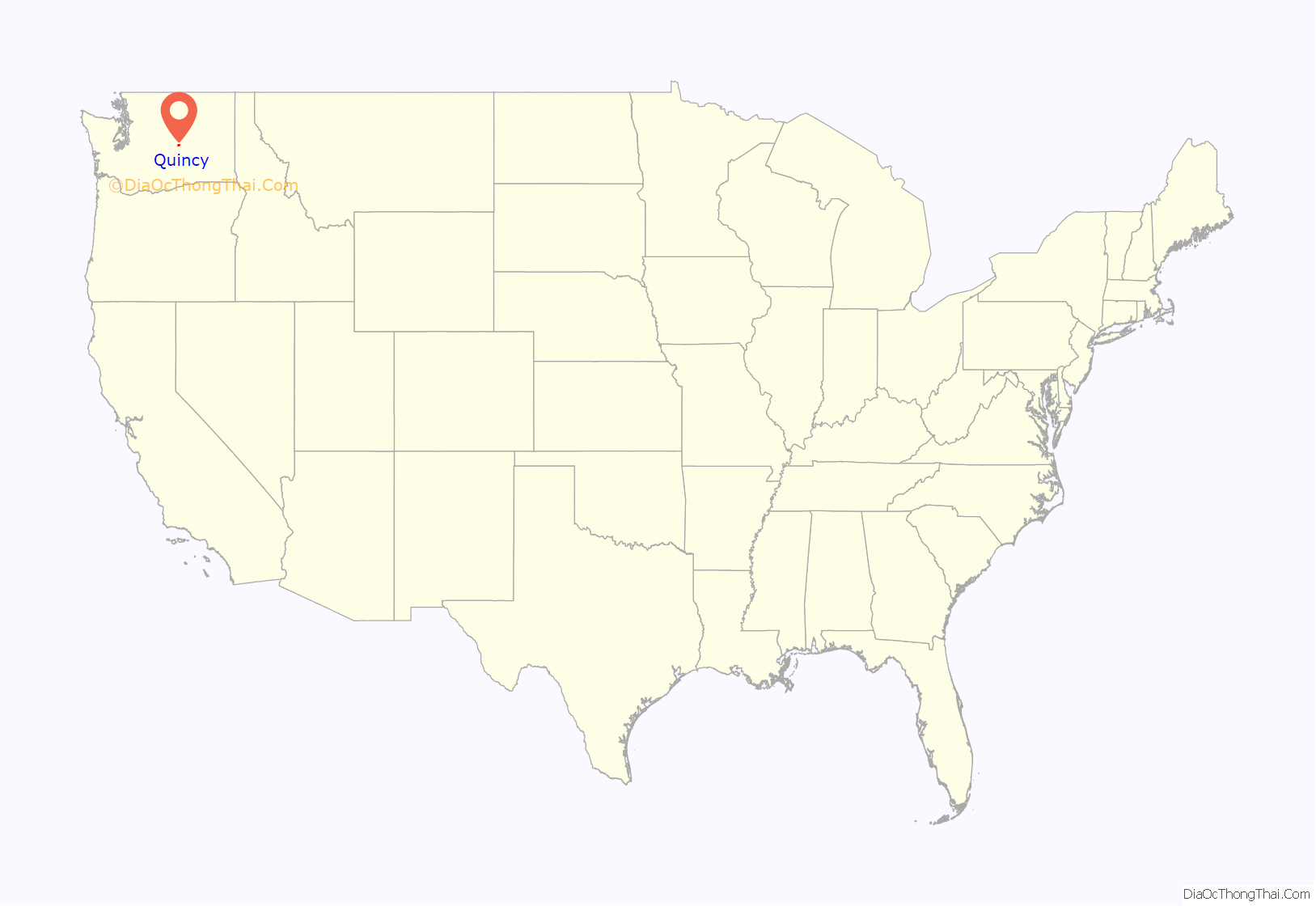
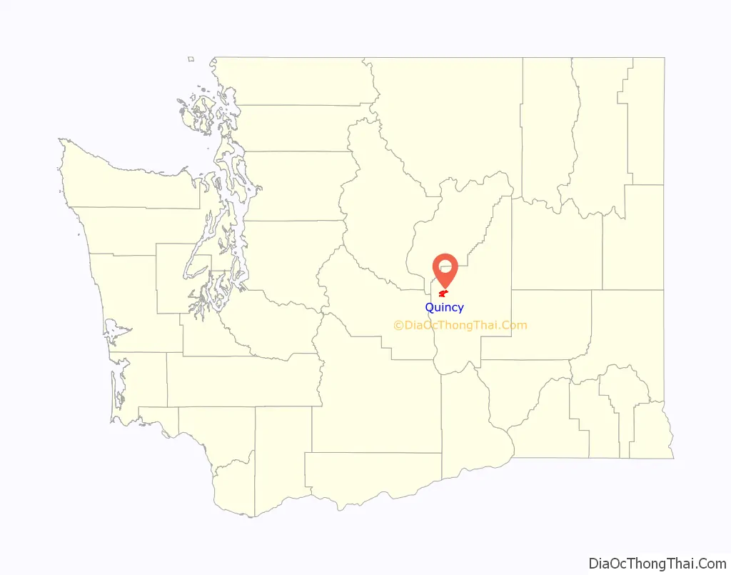
Quincy location map. Where is Quincy city?
History
Geologic history
Quincy lies atop a part of the Columbia River Basalt Group which is overlain by Pleistocene outburst flood deposits. The Missoula Floods had one of their outlets at Trinidad, close to Quincy and another near Ancient Lakes, which includes the Ancient Lakes of the Columbia Valley AVA. Glacial erratics carried from as far away as Montana can be found nearby. The area also has an abundance of rimrock.
Great Northern Railway
Quincy was founded as a railroad camp during construction of the Great Northern Railway in 1892, and was incorporated on March 27, 1907. It was named after Quincy, Illinois.
Grand Coulee Dam
The arrival of the water from the Grand Coulee Dam in 1952 changed the town.
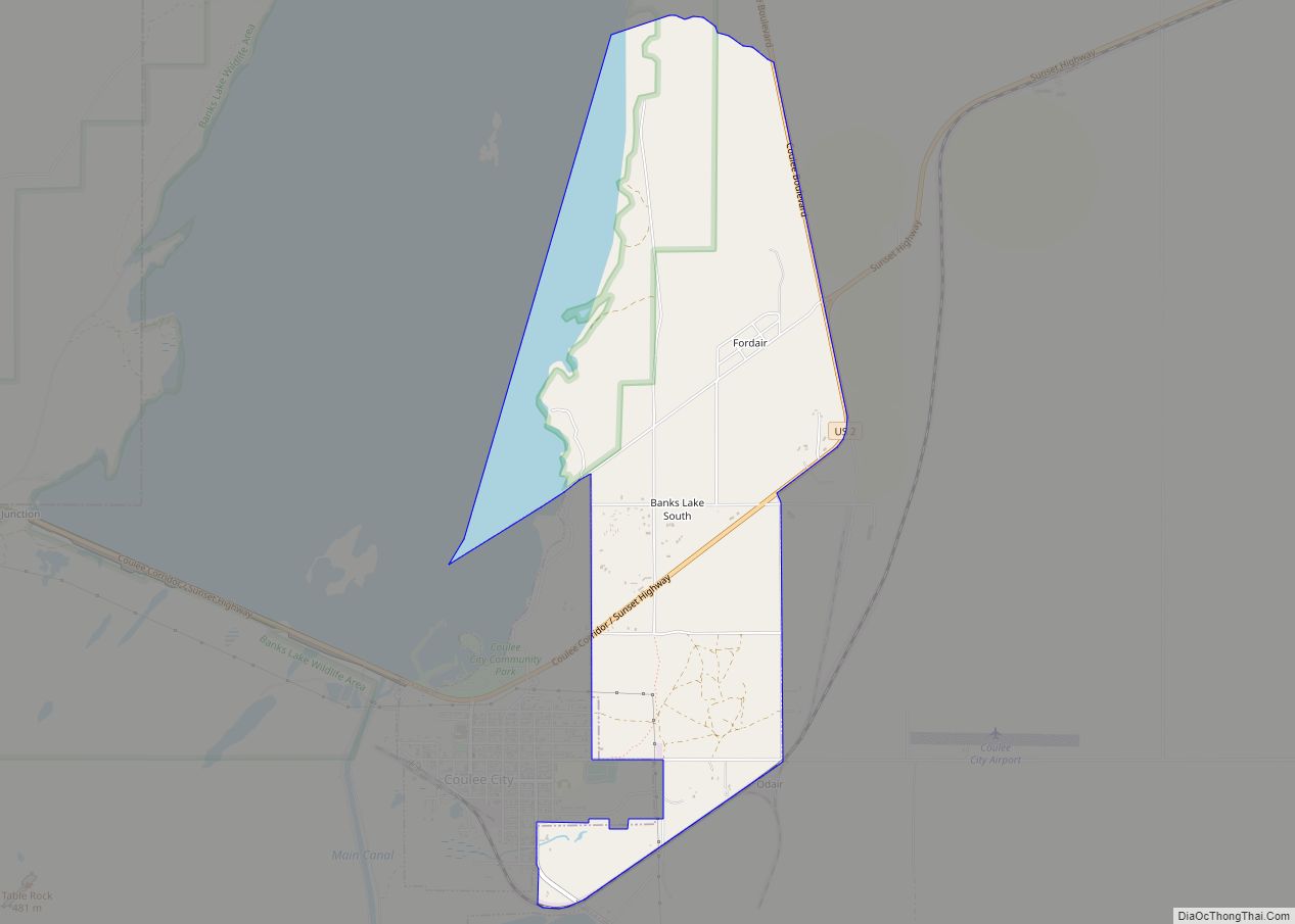
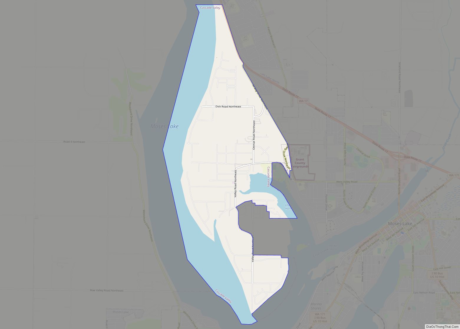
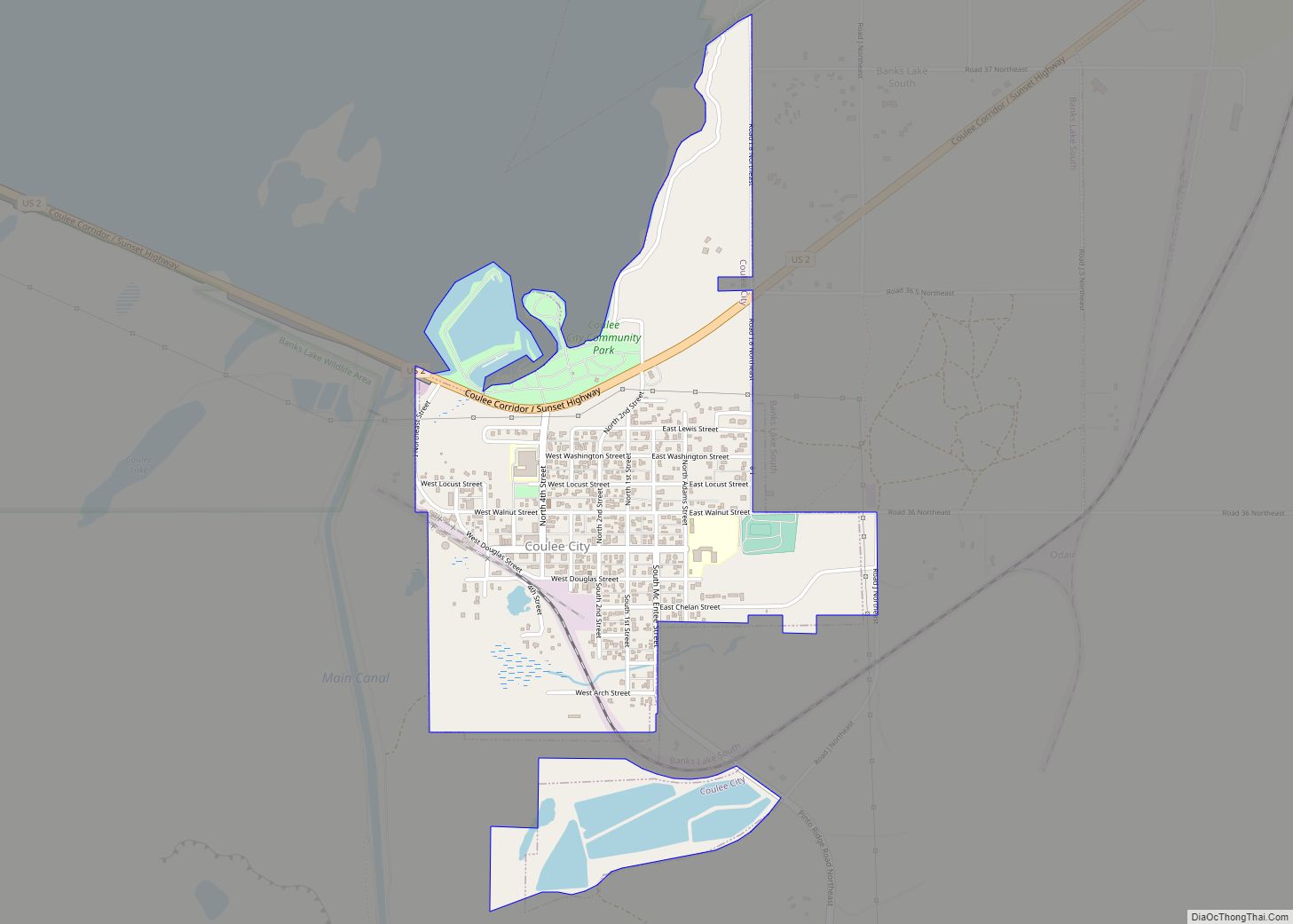
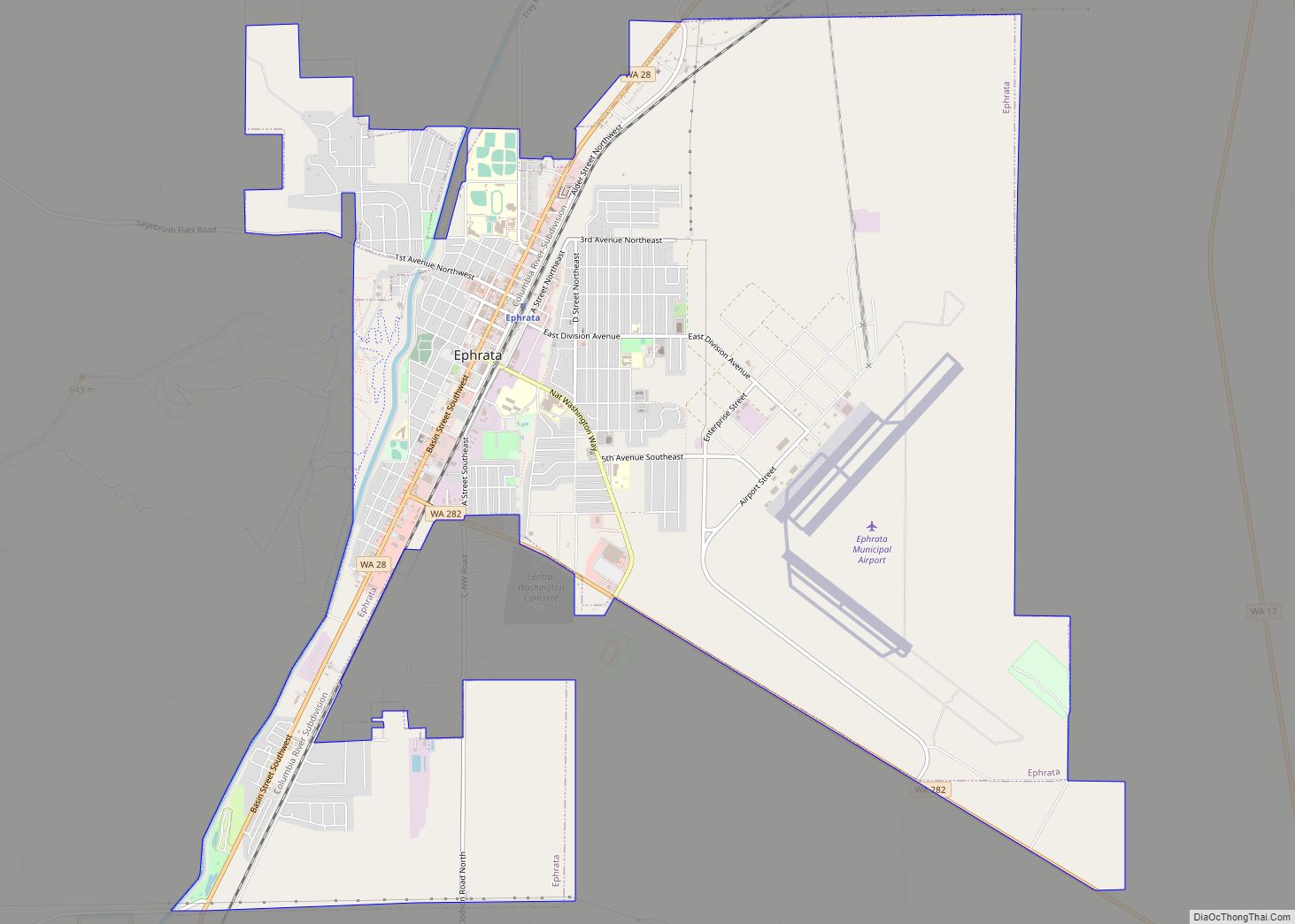
Quincy Road Map
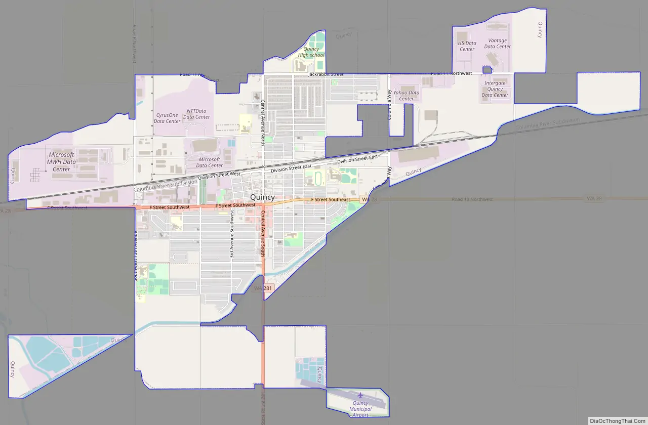
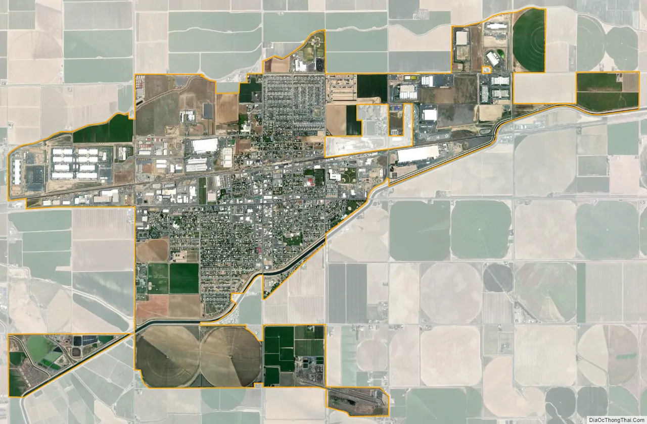
Quincy city Satellite Map
Geography
Quincy is located at 47°14′1″N 119°51′8″W / 47.23361°N 119.85222°W / 47.23361; -119.85222 (47.233691, −119.852296).
According to the United States Census Bureau, the city has a total area of 5.04 square miles (13.05 km), of which, 4.96 square miles (12.85 km) is land and 0.08 square miles (0.21 km) is water.
See also
Map of Washington State and its subdivision:- Adams
- Asotin
- Benton
- Chelan
- Clallam
- Clark
- Columbia
- Cowlitz
- Douglas
- Ferry
- Franklin
- Garfield
- Grant
- Grays Harbor
- Island
- Jefferson
- King
- Kitsap
- Kittitas
- Klickitat
- Lewis
- Lincoln
- Mason
- Okanogan
- Pacific
- Pend Oreille
- Pierce
- San Juan
- Skagit
- Skamania
- Snohomish
- Spokane
- Stevens
- Thurston
- Wahkiakum
- Walla Walla
- Whatcom
- Whitman
- Yakima
- Alabama
- Alaska
- Arizona
- Arkansas
- California
- Colorado
- Connecticut
- Delaware
- District of Columbia
- Florida
- Georgia
- Hawaii
- Idaho
- Illinois
- Indiana
- Iowa
- Kansas
- Kentucky
- Louisiana
- Maine
- Maryland
- Massachusetts
- Michigan
- Minnesota
- Mississippi
- Missouri
- Montana
- Nebraska
- Nevada
- New Hampshire
- New Jersey
- New Mexico
- New York
- North Carolina
- North Dakota
- Ohio
- Oklahoma
- Oregon
- Pennsylvania
- Rhode Island
- South Carolina
- South Dakota
- Tennessee
- Texas
- Utah
- Vermont
- Virginia
- Washington
- West Virginia
- Wisconsin
- Wyoming