Ronald is an unincorporated community and census-designated place (CDP) in Kittitas County, Washington, United States. The population was 308 at the 2010 census.
Ronald was named for Alexander Ronald, a former coal mine superintendent in the area.
| Name: | Ronald CDP |
|---|---|
| LSAD Code: | 57 |
| LSAD Description: | CDP (suffix) |
| State: | Washington |
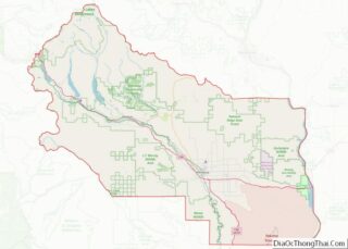
| County: | Kittitas County |
| Elevation: | 2,349 ft (716 m) |
| Total Area: | 0.93 sq mi (2.40 km²) |
| Land Area: | 0.93 sq mi (2.40 km²) |
| Water Area: | 0.0 sq mi (0.0 km²) |
| Total Population: | 308 |
| Population Density: | 333/sq mi (128.5/km²) |
| ZIP code: | 98940 |
| Area code: | 509 |
| FIPS code: | 5359635 |
| GNISfeature ID: | 1525199 |
Online Interactive Map
Click on ![]() to view map in "full screen" mode.
to view map in "full screen" mode.
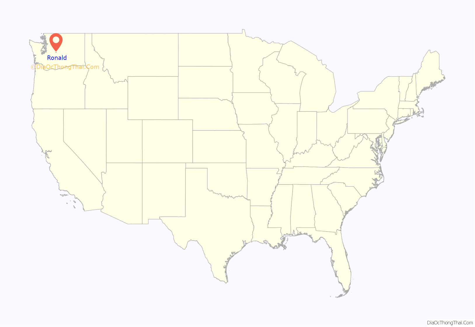
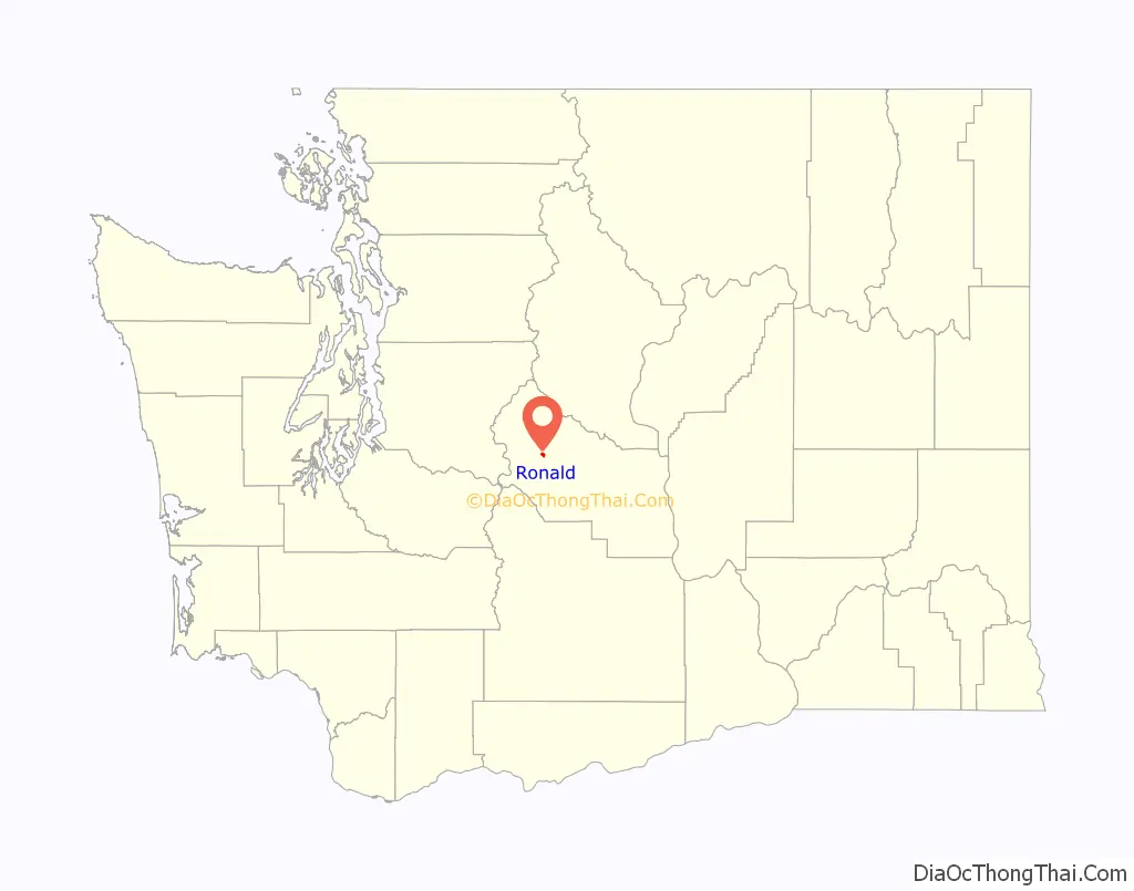
Ronald location map. Where is Ronald CDP?
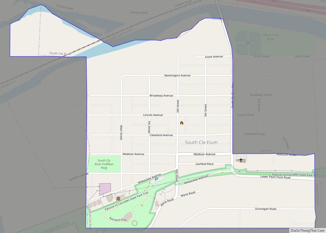
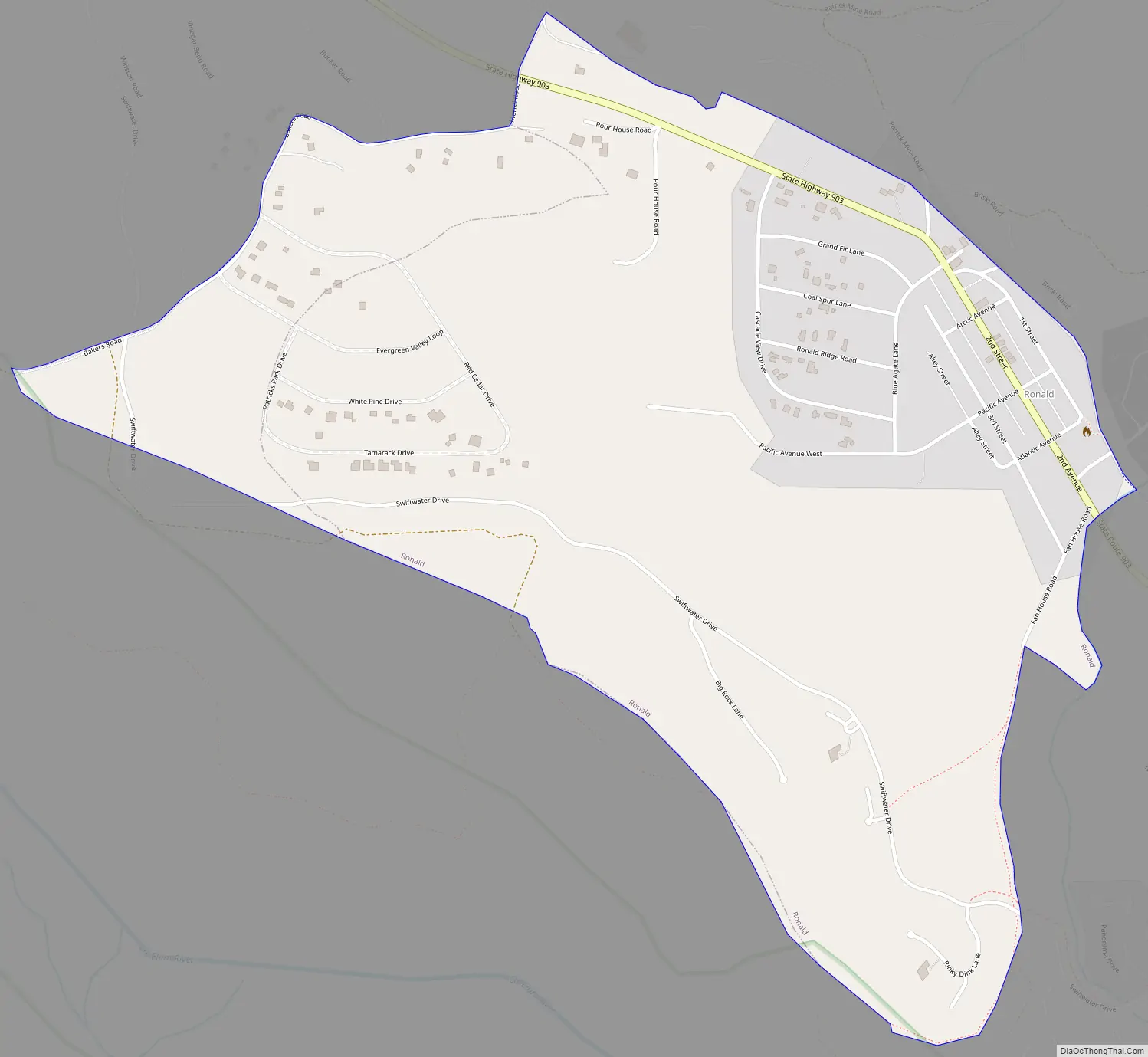
Ronald Road Map
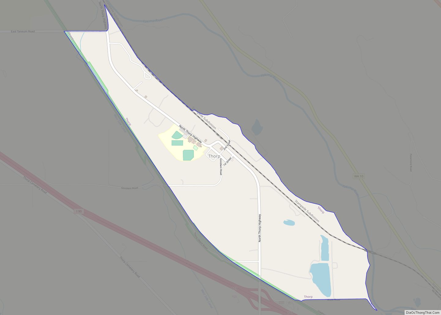
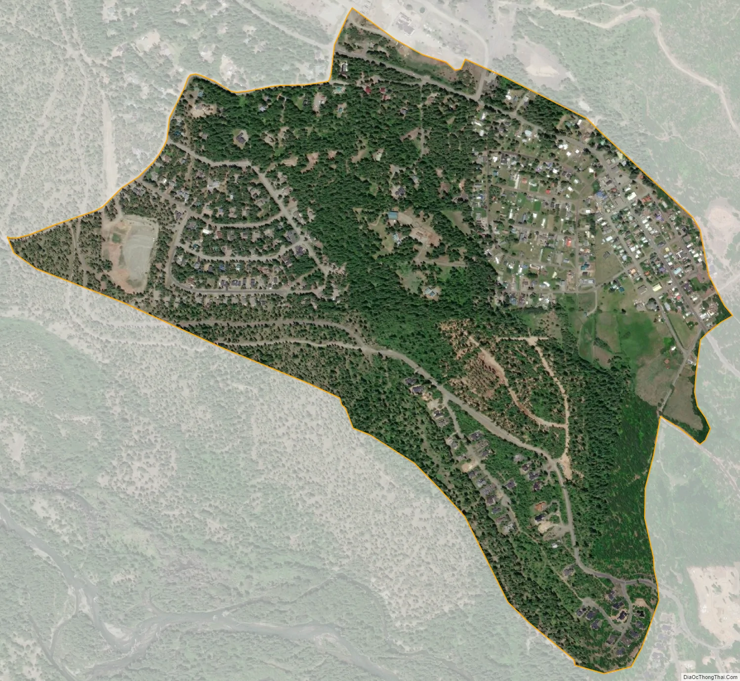
Ronald city Satellite Map
Geography
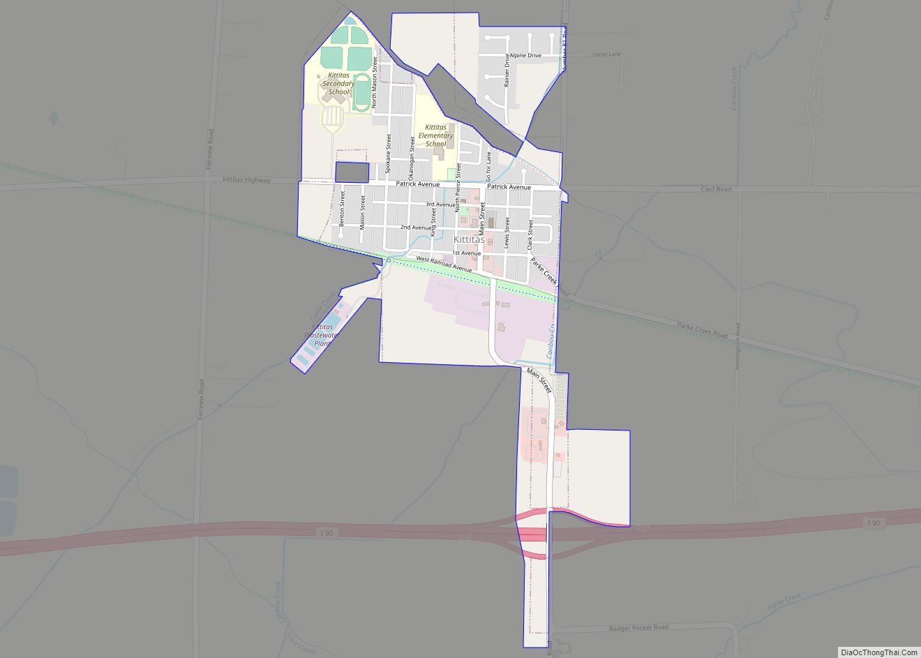
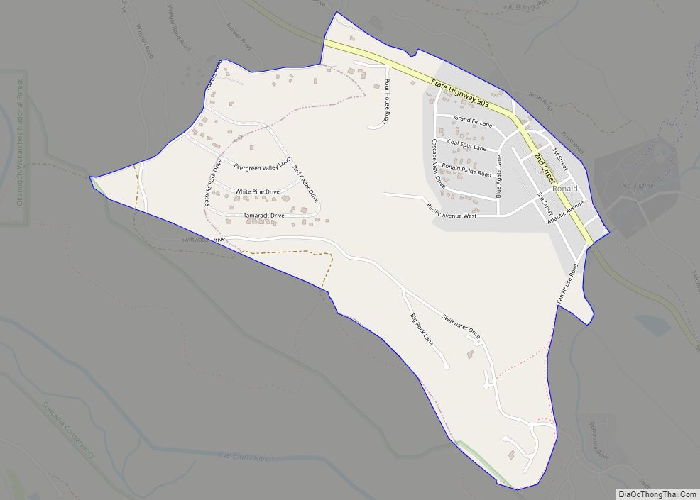
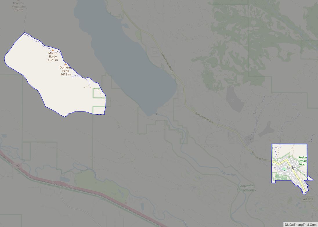
Ronald is located in western Kittitas County at 47°14′6″N 121°1′36″W / 47.23500°N 121.02667°W / 47.23500; -121.02667 (47.235096, -121.026613), on the north side of the valley of the Cle Elum River. Washington State Route 903 passes through the community, leading southeast 5 miles (8 km) to Cle Elum and northwest 3 miles (5 km) to its end at Cle Elum Lake.
According to the United States Census Bureau, the Ronald CDP has a total area of 0.93 square miles (2.4 km), all of it land.
Climate
This region experiences warm (but not hot) and dry summers, with no average monthly temperatures above 71.6 °F. According to the Köppen Climate Classification system, Ronald has a warm-summer Mediterranean climate, abbreviated “Csb” on climate maps.
See also
Map of Washington State and its subdivision:- Adams
- Asotin
- Benton
- Chelan
- Clallam
- Clark
- Columbia
- Cowlitz
- Douglas
- Ferry
- Franklin
- Garfield
- Grant
- Grays Harbor
- Island
- Jefferson
- King
- Kitsap
- Kittitas
- Klickitat
- Lewis
- Lincoln
- Mason
- Okanogan
- Pacific
- Pend Oreille
- Pierce
- San Juan
- Skagit
- Skamania
- Snohomish
- Spokane
- Stevens
- Thurston
- Wahkiakum
- Walla Walla
- Whatcom
- Whitman
- Yakima
- Alabama
- Alaska
- Arizona
- Arkansas
- California
- Colorado
- Connecticut
- Delaware
- District of Columbia
- Florida
- Georgia
- Hawaii
- Idaho
- Illinois
- Indiana
- Iowa
- Kansas
- Kentucky
- Louisiana
- Maine
- Maryland
- Massachusetts
- Michigan
- Minnesota
- Mississippi
- Missouri
- Montana
- Nebraska
- Nevada
- New Hampshire
- New Jersey
- New Mexico
- New York
- North Carolina
- North Dakota
- Ohio
- Oklahoma
- Oregon
- Pennsylvania
- Rhode Island
- South Carolina
- South Dakota
- Tennessee
- Texas
- Utah
- Vermont
- Virginia
- Washington
- West Virginia
- Wisconsin
- Wyoming