Royal City is a city in Grant County, Washington, United States. The population was 1,776 at the 2020 census.
| Name: | Royal City city |
|---|---|
| LSAD Code: | 25 |
| LSAD Description: | city (suffix) |
| State: | Washington |
| County: | Grant County |
| Elevation: | 1,063 ft (324 m) |
| Total Area: | 1.16 sq mi (3.01 km²) |
| Land Area: | 1.16 sq mi (3.01 km²) |
| Water Area: | 0.00 sq mi (0.00 km²) |
| Total Population: | 1,776 |
| Population Density: | 1,921.82/sq mi (742.06/km²) |
| ZIP code: | 99357 |
| Area code: | 509 |
| FIPS code: | 5360230 |
| GNISfeature ID: | 1512626 |
| Website: | royalcitywa.org |
Online Interactive Map
Click on ![]() to view map in "full screen" mode.
to view map in "full screen" mode.
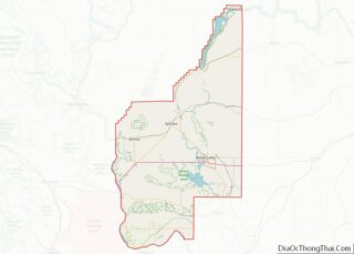
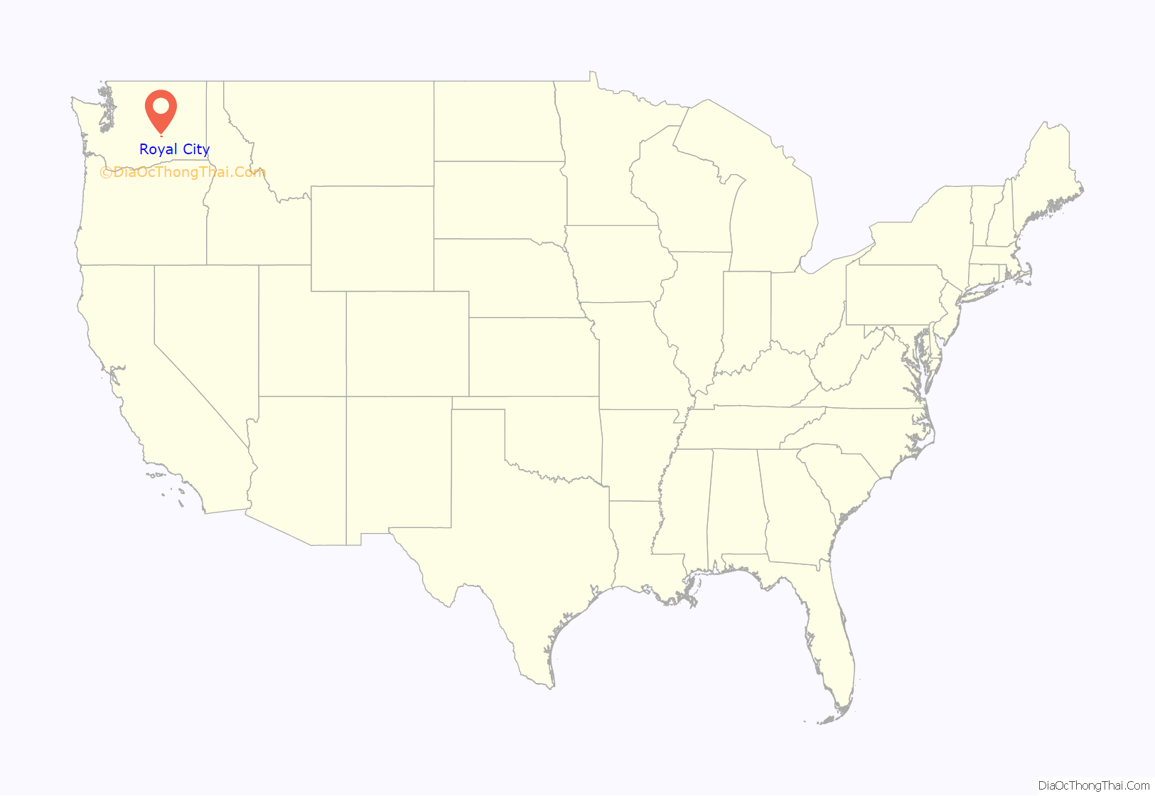
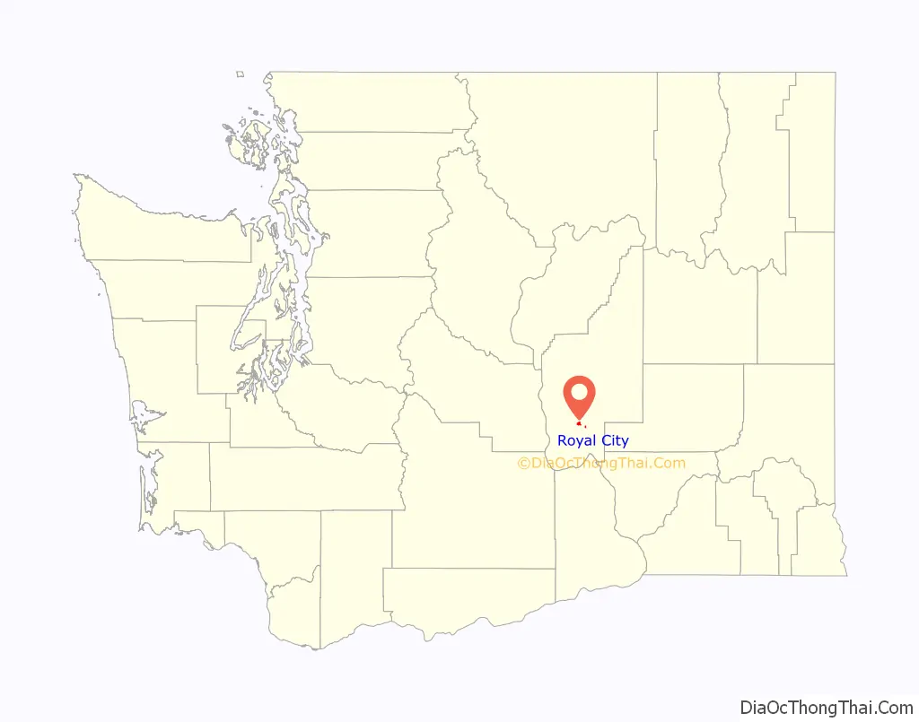
Royal City location map. Where is Royal City city?
History
Royal City was founded in 1956 and officially incorporated on February 14, 1962. The townsite was previously named Royal Flats, and the entire area Royal Slope, thus the name Royal City. During the 1960s, there was a Titan I ICBM silo located near the town. The Royal Slope was named Washington state’s 15th designated wine growing region (AVA – American Viticultural Area) on September 2, 2020.
Today, this small farming community is most known for producing a wide variety of crops, thanks to a long growing season. Apples, cherries, peaches, timothy and alfalfa hay, melons, potatoes, onions, wine grapes, pears, mint and corn are grown in this area. The Royal Slope area is a popular place for birders, hunters, and golfers as well.
The Royal Knights (Royal High School) have won division 1A state football titles in 1996, 2000, 2004, 2005, 2007, 2015, 2016, 2017, 2019, 2021, and 2022. The Royal High Knight mascot and colors, black and gold, were selected by the ASB class officers of 1965.
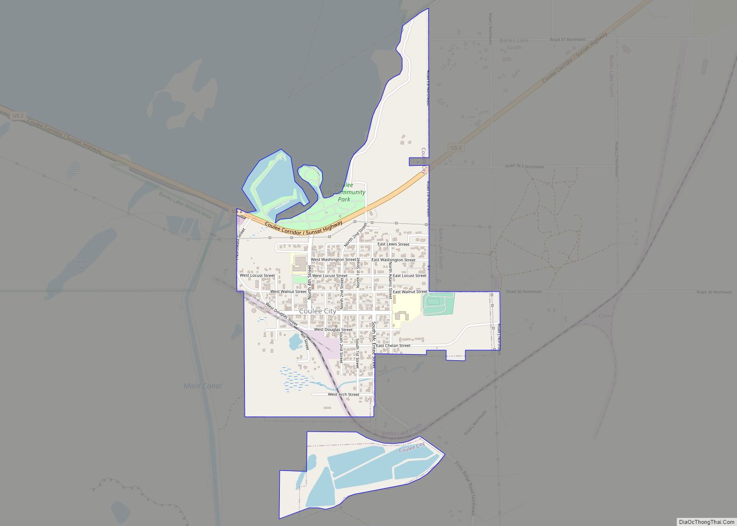
Royal City Road Map
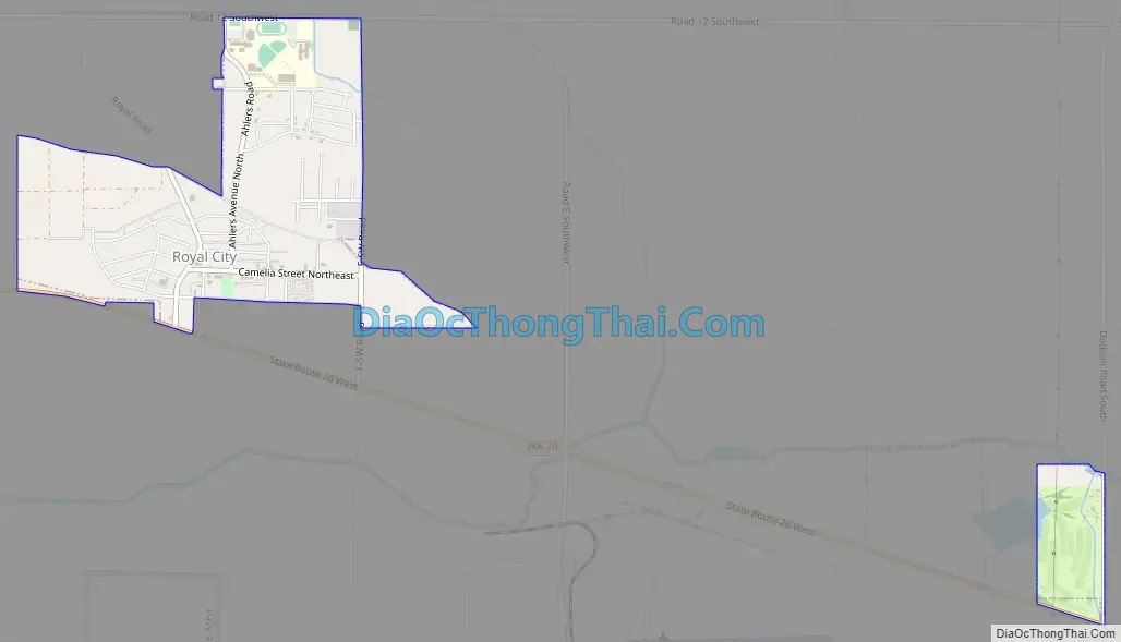
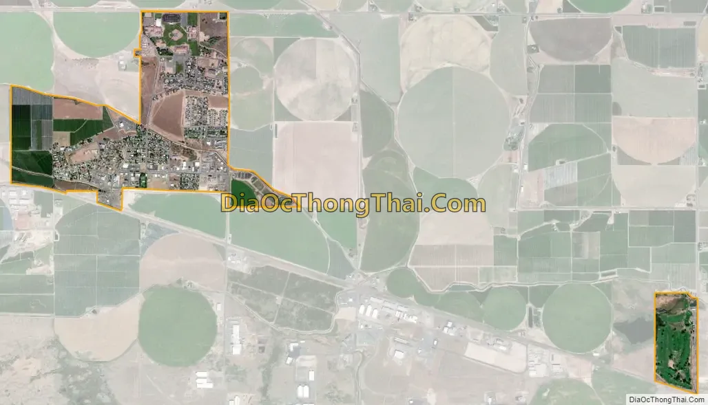
Royal City city Satellite Map
Geography
Royal City is located at 46°54′7″N 119°37′38″W / 46.90194°N 119.62722°W / 46.90194; -119.62722 (46.901899, -119.627220).
According to the United States Census Bureau, the city has a total area of 1.35 square miles (3.50 km), all of it land.
See also
Map of Washington State and its subdivision:- Adams
- Asotin
- Benton
- Chelan
- Clallam
- Clark
- Columbia
- Cowlitz
- Douglas
- Ferry
- Franklin
- Garfield
- Grant
- Grays Harbor
- Island
- Jefferson
- King
- Kitsap
- Kittitas
- Klickitat
- Lewis
- Lincoln
- Mason
- Okanogan
- Pacific
- Pend Oreille
- Pierce
- San Juan
- Skagit
- Skamania
- Snohomish
- Spokane
- Stevens
- Thurston
- Wahkiakum
- Walla Walla
- Whatcom
- Whitman
- Yakima
- Alabama
- Alaska
- Arizona
- Arkansas
- California
- Colorado
- Connecticut
- Delaware
- District of Columbia
- Florida
- Georgia
- Hawaii
- Idaho
- Illinois
- Indiana
- Iowa
- Kansas
- Kentucky
- Louisiana
- Maine
- Maryland
- Massachusetts
- Michigan
- Minnesota
- Mississippi
- Missouri
- Montana
- Nebraska
- Nevada
- New Hampshire
- New Jersey
- New Mexico
- New York
- North Carolina
- North Dakota
- Ohio
- Oklahoma
- Oregon
- Pennsylvania
- Rhode Island
- South Carolina
- South Dakota
- Tennessee
- Texas
- Utah
- Vermont
- Virginia
- Washington
- West Virginia
- Wisconsin
- Wyoming