Tieton (/ˈtaɪ.ətən/) is a city in Yakima County, Washington, United States. The population was 1,389 at the 2020 census.
In recent years, Tieton has suffered economic depression, with the decline of its fruit warehouses. As of 2007, a Seattle lawyer and the founding president of the art publishing house Marquand Books have been investing in the city and attempting to revive it, with a project they call project “Mighty Tieton.”
| Name: | Tieton city |
|---|---|
| LSAD Code: | 25 |
| LSAD Description: | city (suffix) |
| State: | Washington |
| County: | Yakima County |
| Founded: | 1879 |
| Incorporated: | June 5, 1942 |
| Elevation: | 1,923 ft (586 m) |
| Total Area: | 0.86 sq mi (2.24 km²) |
| Land Area: | 0.86 sq mi (2.24 km²) |
| Water Area: | 0.00 sq mi (0.00 km²) |
| Total Population: | 1,389 |
| Population Density: | 1,513.89/sq mi (584.33/km²) |
| ZIP code: | 98947 |
| Area code: | 509 |
| FIPS code: | 5371400 |
| GNISfeature ID: | 1527199 |
| Website: | cityoftieton.com |
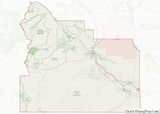
Online Interactive Map
Click on ![]() to view map in "full screen" mode.
to view map in "full screen" mode.
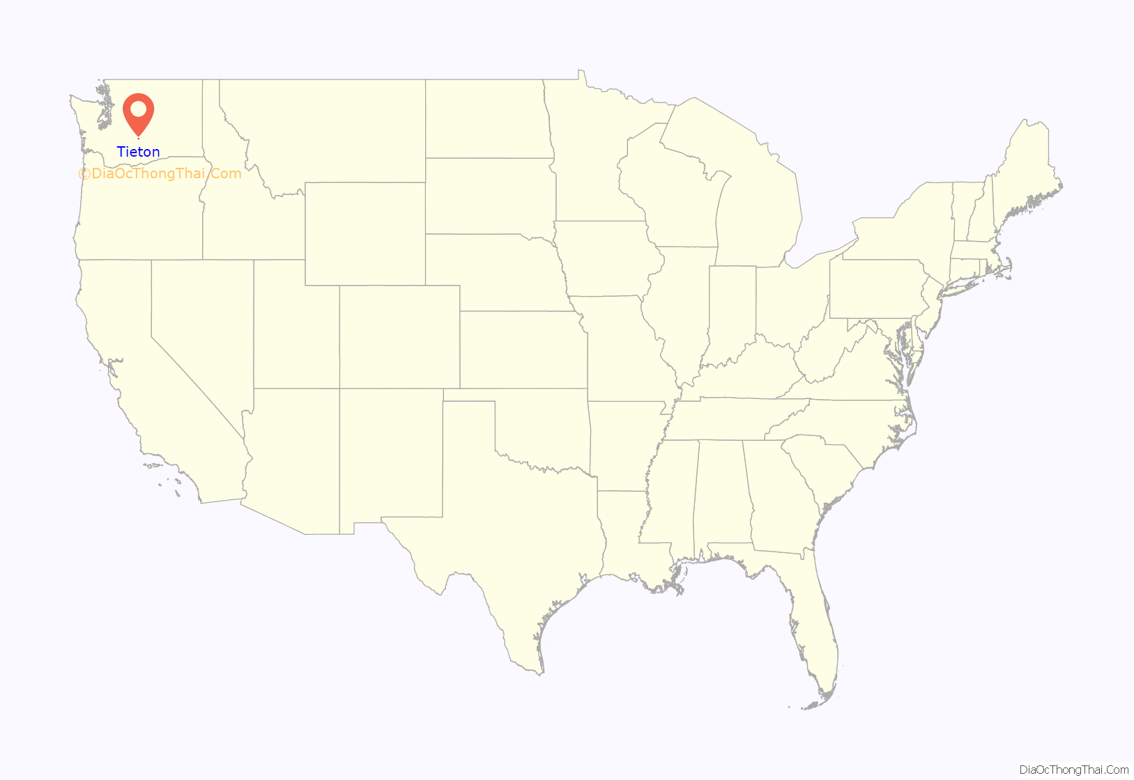
Tieton location map. Where is Tieton city?
History
Tieton was officially incorporated on June 5, 1942. Tieton gets its name from the Tieton River, meaning “roaring water”.
Tieton Road Map
Tieton city Satellite Map
Geography
Tieton is located at 46°42′11″N 120°45′21″W / 46.70306°N 120.75583°W / 46.70306; -120.75583 (46.703160, -120.755824).
According to the United States Census Bureau, the town has a total area of 0.82 square miles (2.12 km), all of it land.
Tieton is located near the confluence of the Tieton River with the Naches River.
Climate
This climatic region is typified by large seasonal temperature differences, with warm to hot (and often humid) summers and cold (sometimes severely cold) winters. According to the Köppen Climate Classification system, Tieton has a humid continental climate, abbreviated “Dfb” on climate maps.
See also
Map of Washington State and its subdivision:- Adams
- Asotin
- Benton
- Chelan
- Clallam
- Clark
- Columbia
- Cowlitz
- Douglas
- Ferry
- Franklin
- Garfield
- Grant
- Grays Harbor
- Island
- Jefferson
- King
- Kitsap
- Kittitas
- Klickitat
- Lewis
- Lincoln
- Mason
- Okanogan
- Pacific
- Pend Oreille
- Pierce
- San Juan
- Skagit
- Skamania
- Snohomish
- Spokane
- Stevens
- Thurston
- Wahkiakum
- Walla Walla
- Whatcom
- Whitman
- Yakima
- Alabama
- Alaska
- Arizona
- Arkansas
- California
- Colorado
- Connecticut
- Delaware
- District of Columbia
- Florida
- Georgia
- Hawaii
- Idaho
- Illinois
- Indiana
- Iowa
- Kansas
- Kentucky
- Louisiana
- Maine
- Maryland
- Massachusetts
- Michigan
- Minnesota
- Mississippi
- Missouri
- Montana
- Nebraska
- Nevada
- New Hampshire
- New Jersey
- New Mexico
- New York
- North Carolina
- North Dakota
- Ohio
- Oklahoma
- Oregon
- Pennsylvania
- Rhode Island
- South Carolina
- South Dakota
- Tennessee
- Texas
- Utah
- Vermont
- Virginia
- Washington
- West Virginia
- Wisconsin
- Wyoming
