Vantage is a census-designated place (CDP) in Kittitas County, Washington, United States. The population was 74 at the 2010 census.
| Name: | Vantage CDP |
|---|---|
| LSAD Code: | 57 |
| LSAD Description: | CDP (suffix) |
| State: | Washington |
| County: | Kittitas County |
| Elevation: | 663 ft (202 m) |
| Total Area: | 0.3 sq mi (0.8 km²) |
| Land Area: | 0.3 sq mi (0.8 km²) |
| Water Area: | 0.0 sq mi (0.0 km²) |
| Total Population: | 74 |
| Population Density: | 246.7/sq mi (92.5/km²) |
| ZIP code: | 98950 |
| Area code: | 509 |
| FIPS code: | 5374200 |
| GNISfeature ID: | 1511390 |
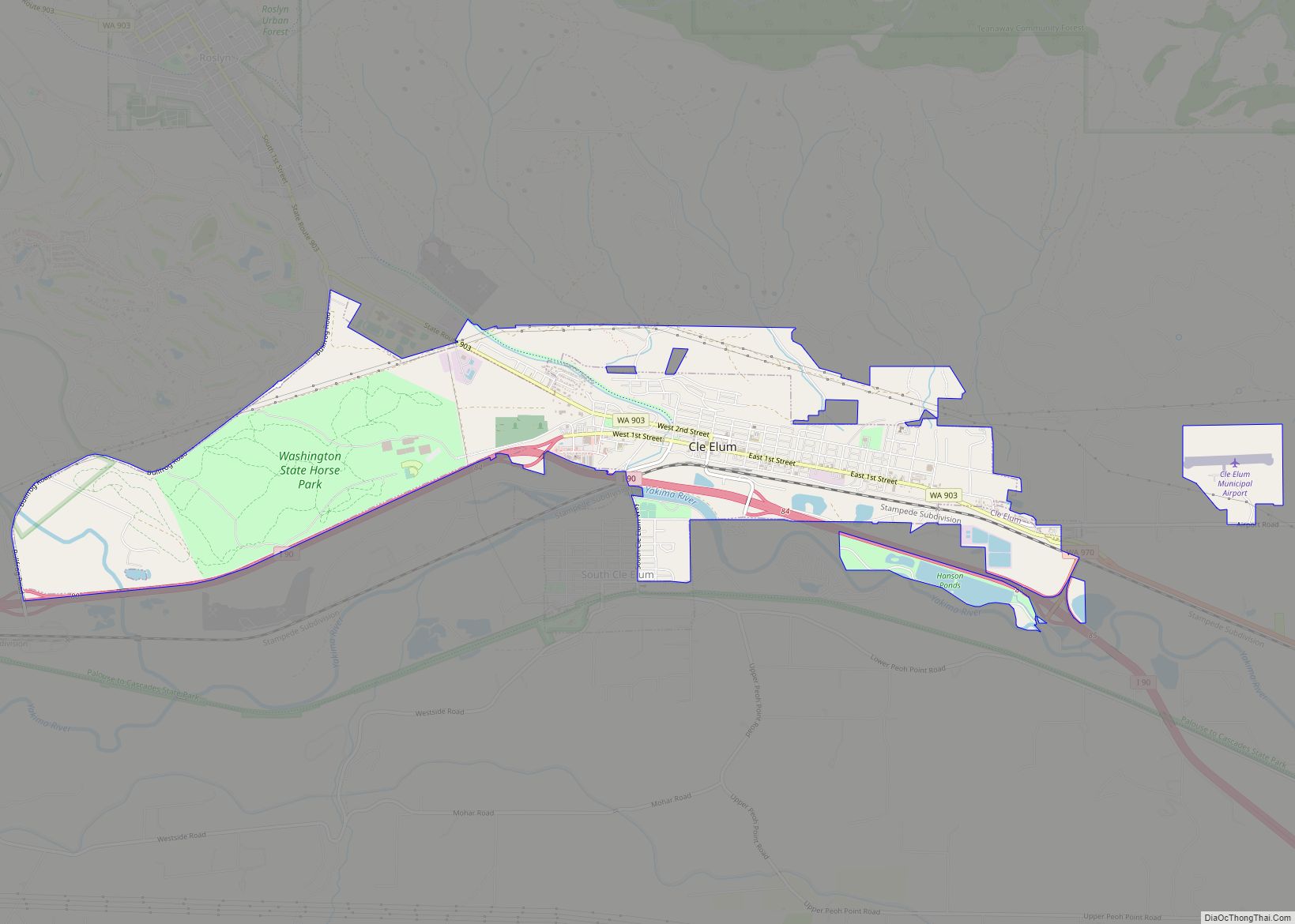
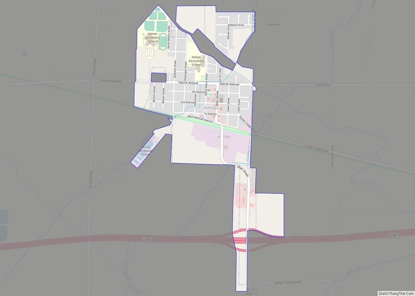
Online Interactive Map
Click on ![]() to view map in "full screen" mode.
to view map in "full screen" mode.
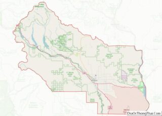
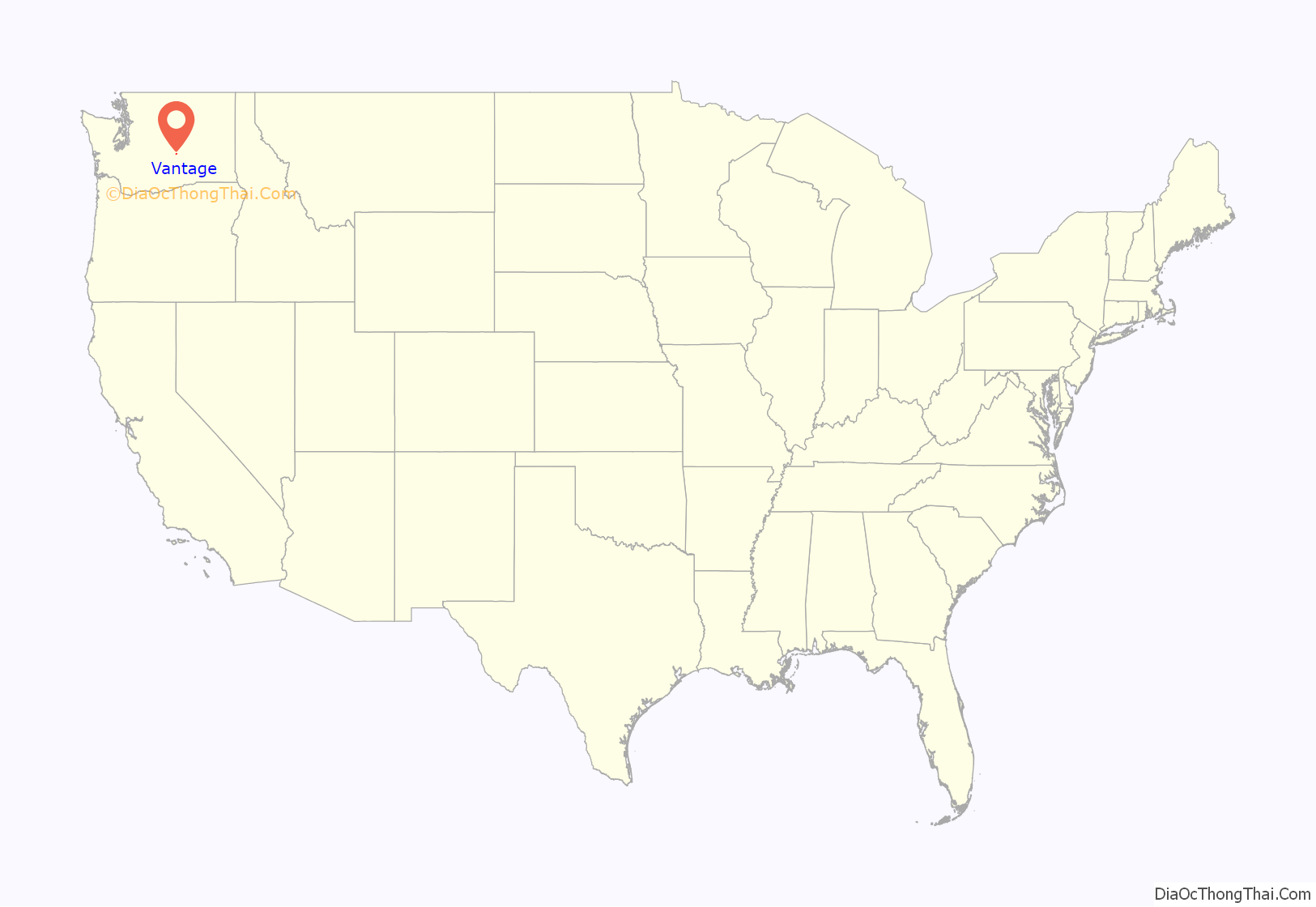
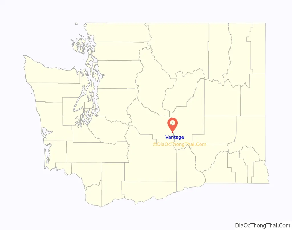
Vantage location map. Where is Vantage CDP?
History
The area around Vantage has been occupied by the Wanapum Native Americans since prehistory. A number of well-preserved rock-paintings have been found on the cliff walls. They also used the abundant petrified wood in the area for arrowheads and other tools. The site where these petroglyphs were found was inundated by the rising waters behind Wanapum Dam in the 1960s. About 60 of the more than 300 carvings were cut from the basalt cliff face and saved. The nearby Ginkgo Petrified Forest site is one of the most unusual fossil forests in the world, and was designated a National Natural Landmark by the National Park Service in 1965.
In the early part of the 20th century, residents in nearby Ellensburg needed a more direct route when traveling east. A small ferry was established in 1914 to carry vehicle traffic across the Columbia River at Vantage. This ferry was really just a small barge with wooden ramps at either end, it carried only two cars at a time across the river. After several cars (some with occupants still in them) were lost overboard, the state highway department decided to construct a bridge over the Columbia.
In 1927, the 1,640-foot (0.31 mi; 0.50 km) bridge was opened at Vantage. This was an important link in the Sunset Highway, the major east–west thoroughfare in Washington at the time (later U.S. Route 10, now Interstate 90). The construction of the bridge required workers to enter pressurized caissons seventy feet (21 m) under the riverbed via airlocks. Some workers became seriously ill from the effects of the pressure. Once completed, the bridge had a 70-foot (21 m) clearance on the center span, allowing for river traffic to pass under the bridge.
This cantilever bridge served at Vantage for 35 years, succeeded by the current bridge in 1962. The original was dismantled and moved to the crossing at Lyons Ferry, where it stands today as the oldest (96 years) extant steel cantilever bridge in Washington, and is listed in the National Register of Historic Places.
With completion of the Wanapum Dam in the early 1960s, the townsite was relocated further up the hill above the rising water to the current location.
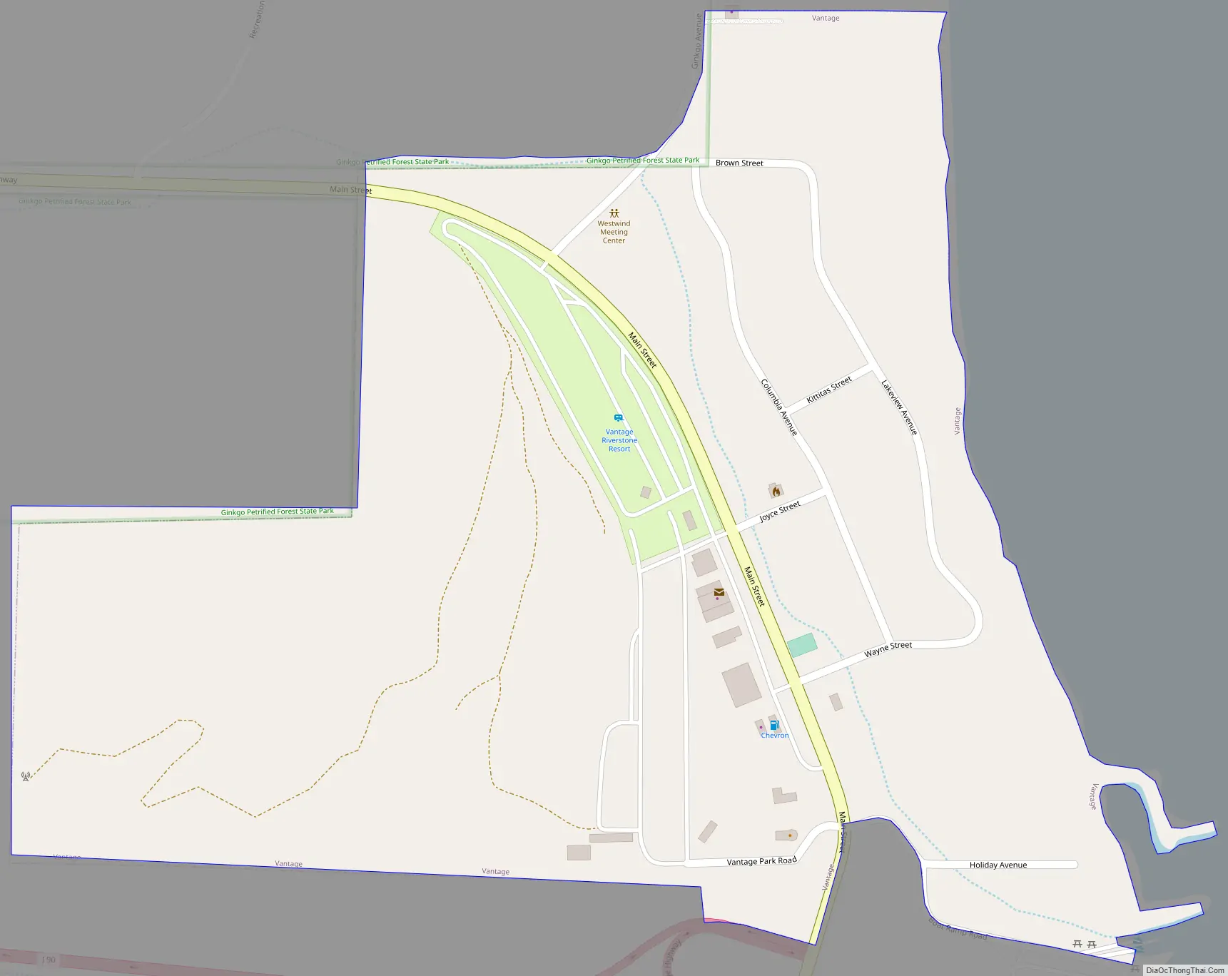
Vantage Road Map
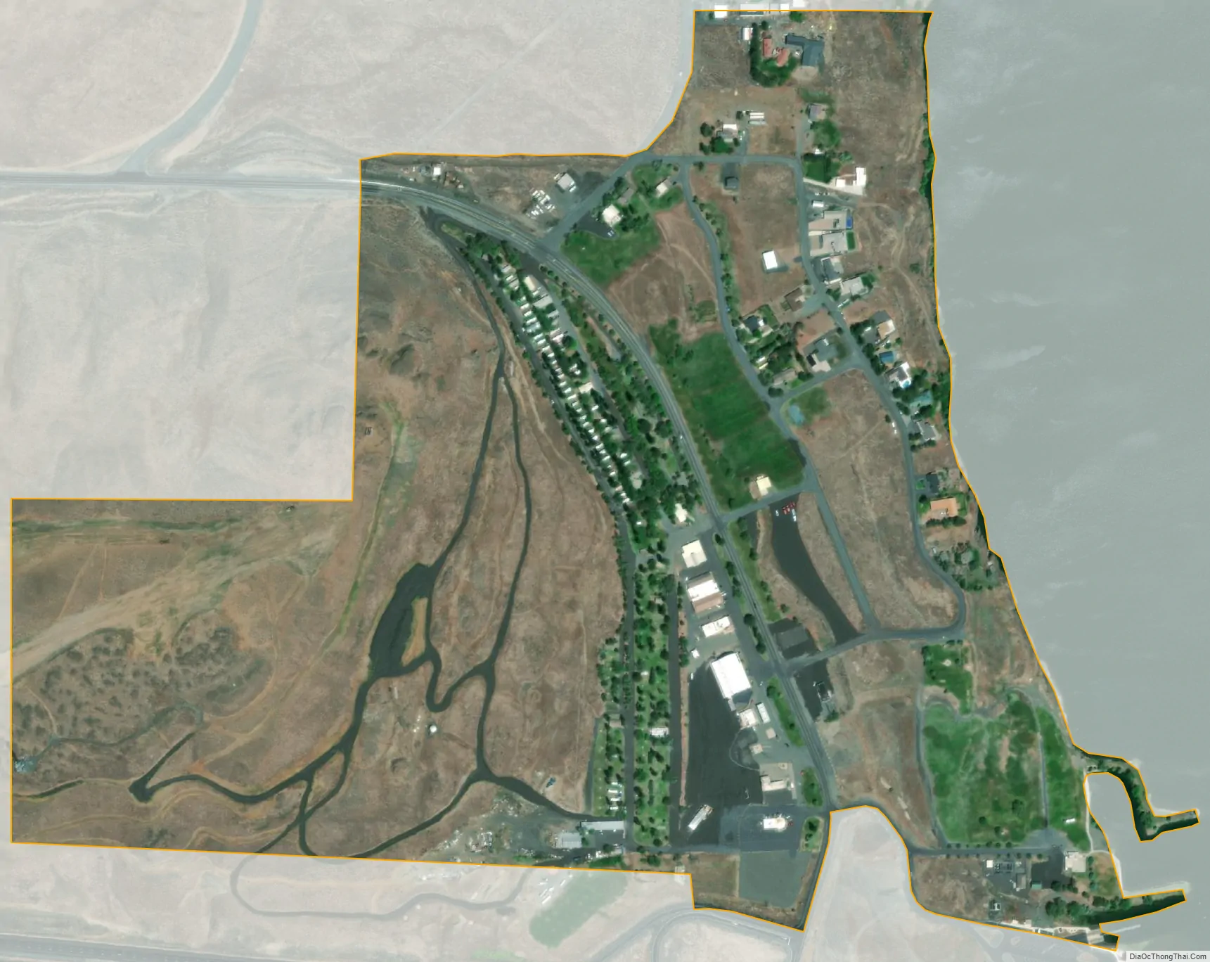
Vantage city Satellite Map
Geography
Vantage is located at 46°56′48″N 119°59′30″W / 46.94667°N 119.99167°W / 46.94667; -119.99167 (46.946710, -119.991758) along the Columbia River.
According to the United States Census Bureau, the CDP has a total area of 0.3 square miles (0.8 km), all of it land.
The original town of Vantage was flooded by the Columbia River when the Wanapum Dam was placed into operation.
See also
Map of Washington State and its subdivision:- Adams
- Asotin
- Benton
- Chelan
- Clallam
- Clark
- Columbia
- Cowlitz
- Douglas
- Ferry
- Franklin
- Garfield
- Grant
- Grays Harbor
- Island
- Jefferson
- King
- Kitsap
- Kittitas
- Klickitat
- Lewis
- Lincoln
- Mason
- Okanogan
- Pacific
- Pend Oreille
- Pierce
- San Juan
- Skagit
- Skamania
- Snohomish
- Spokane
- Stevens
- Thurston
- Wahkiakum
- Walla Walla
- Whatcom
- Whitman
- Yakima
- Alabama
- Alaska
- Arizona
- Arkansas
- California
- Colorado
- Connecticut
- Delaware
- District of Columbia
- Florida
- Georgia
- Hawaii
- Idaho
- Illinois
- Indiana
- Iowa
- Kansas
- Kentucky
- Louisiana
- Maine
- Maryland
- Massachusetts
- Michigan
- Minnesota
- Mississippi
- Missouri
- Montana
- Nebraska
- Nevada
- New Hampshire
- New Jersey
- New Mexico
- New York
- North Carolina
- North Dakota
- Ohio
- Oklahoma
- Oregon
- Pennsylvania
- Rhode Island
- South Carolina
- South Dakota
- Tennessee
- Texas
- Utah
- Vermont
- Virginia
- Washington
- West Virginia
- Wisconsin
- Wyoming