Wapato is a town in Yakima County, Washington, United States. The population was 4,607 at the 2020 census. It has a Hispanic majority.
| Name: | Wapato city |
|---|---|
| LSAD Code: | 25 |
| LSAD Description: | city (suffix) |
| State: | Washington |
| County: | Yakima County |
| Founded: | 1885 |
| Incorporated: | September 16, 1908 |
| Elevation: | 856 ft (261 m) |
| Total Area: | 1.16 sq mi (2.99 km²) |
| Land Area: | 1.16 sq mi (2.99 km²) |
| Water Area: | 0.00 sq mi (0.00 km²) |
| Total Population: | 4,607 |
| Population Density: | 4,333.91/sq mi (1,673.42/km²) |
| ZIP code: | 98951 |
| Area code: | 509 |
| FIPS code: | 5376125 |
| GNISfeature ID: | 1512774 |
| Website: | wapato-city.org |
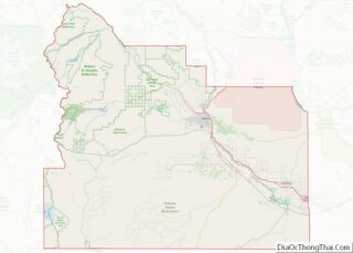
Online Interactive Map
Click on ![]() to view map in "full screen" mode.
to view map in "full screen" mode.
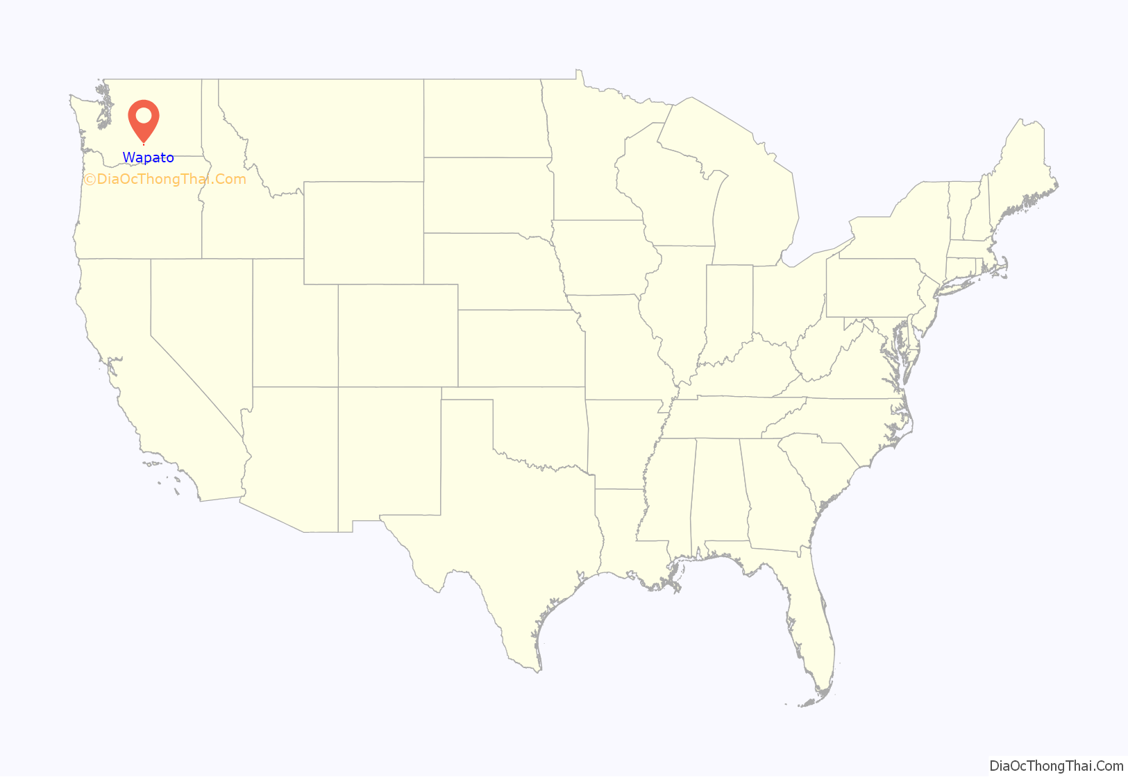
Wapato location map. Where is Wapato city?
History
Origins
The town was founded in 1885 by Indian Postmaster Alexander McCredy as a railroad stop on the Northern Pacific Railroad as Simcoe, Washington. The Dawes Severalty Act of 1887 allowed the government to subdivide the Yakama Indian Reservation tribal communal landholdings into allotments for Native American heads of families and individuals. The selling of these allotments drew settlers into the area. With the construction of the Irwin Canal in 1896, agriculture became the big business in town. In the early 1900s, McCredy and George Rankin established the Wapato Development Company and laid out the town site. They established the town’s first bank and began selling lots. In response to persistent confusion with nearby Fort Simcoe, the town changed its name to Wapato in 1903. The 1906 Jones Act further encouraged Anglos to purchase land from the Yakamas. Wapato was officially incorporated on September 16, 1908, with a population of around 300 people.
The name wapato comes from the Chinook Jargon word for an edible root, probably originally derived from the Upper Chinook language.
Japanese and African American residents
As early as 1905, many Japanese people also began to migrate to the city, mainly from Hawaii. From 1916 to 1918, “Japanese Town” developed along present-day West 2nd Street. With more than 1,000 Japanese then living in the Yakima Valley, the community soon became a center of Washington’s Japanese population, second only to Seattle. The Yakima Buddhist Bussei Kaikan (1936–1941), on West 2nd Street, was an architecturally noteworthy building built by members of the congregation.
A mob including police attacked dozens of African Americans at a railroad camp in Wapato July 9, 1938. African American residents in town were also driven out. After World War II broke out, Wapato’s Japanese language school (which had about 200 students) and several Japanese residences were burned by arsonists. Roosevelt’s Executive Order 9066 forced the Japanese to evacuate from Wapato in 1942, when many residents were sent to internment camps.
World War II
During World War II, much of the labor in the orchards and fields around Wapato came from either Germans held in a POW camp between Wapato and Toppenish, or from Japanese still being held in internment camps. At the end of the war, a labor shortage created a void readily filled by Hispanic migrant workers, and the Bracero Program (a guest-worker program agreed to by the US and Mexico during World War II). These events significantly changed Wapato’s cultural history.
Post war through today
Through the 1970s and into 1990, Wapato produced some of the largest volume potato and apple crops, as tonnage per acre.
Today, Wapato boasts one of the most Hispanic populations in Washington State (76% in the 2000 census). In recent times both Anglo and Hispanic residents have described Wapato as a “Mexican Town”.
In 2012, Wapato allowed strip clubs into the city, in the words of one resident, “to put Wapato on the map.”
Wapato Road Map
Wapato city Satellite Map
Geography
According to the United States Census Bureau, the city has a total area of 1.17 square miles (3.03 km), all land. The community is within the external boundaries of the Yakama Indian Reservation.
Climate
According to the Köppen Climate Classification system, Wapato has a cold semi-arid climate, abbreviated “BSk” on climate maps.
See also
Map of Washington State and its subdivision:- Adams
- Asotin
- Benton
- Chelan
- Clallam
- Clark
- Columbia
- Cowlitz
- Douglas
- Ferry
- Franklin
- Garfield
- Grant
- Grays Harbor
- Island
- Jefferson
- King
- Kitsap
- Kittitas
- Klickitat
- Lewis
- Lincoln
- Mason
- Okanogan
- Pacific
- Pend Oreille
- Pierce
- San Juan
- Skagit
- Skamania
- Snohomish
- Spokane
- Stevens
- Thurston
- Wahkiakum
- Walla Walla
- Whatcom
- Whitman
- Yakima
- Alabama
- Alaska
- Arizona
- Arkansas
- California
- Colorado
- Connecticut
- Delaware
- District of Columbia
- Florida
- Georgia
- Hawaii
- Idaho
- Illinois
- Indiana
- Iowa
- Kansas
- Kentucky
- Louisiana
- Maine
- Maryland
- Massachusetts
- Michigan
- Minnesota
- Mississippi
- Missouri
- Montana
- Nebraska
- Nevada
- New Hampshire
- New Jersey
- New Mexico
- New York
- North Carolina
- North Dakota
- Ohio
- Oklahoma
- Oregon
- Pennsylvania
- Rhode Island
- South Carolina
- South Dakota
- Tennessee
- Texas
- Utah
- Vermont
- Virginia
- Washington
- West Virginia
- Wisconsin
- Wyoming
