Warden is a city in Grant County, Washington, United States. The population was 2,449 at the 2020 census.
| Name: | Warden city |
|---|---|
| LSAD Code: | 25 |
| LSAD Description: | city (suffix) |
| State: | Washington |
| County: | Grant County |
| Elevation: | 1,302 ft (397 m) |
| Total Area: | 2.95 sq mi (7.65 km²) |
| Land Area: | 2.93 sq mi (7.60 km²) |
| Water Area: | 0.02 sq mi (0.05 km²) |
| Total Population: | 2,449 |
| Population Density: | 958.75/sq mi (370.12/km²) |
| ZIP code: | 98857 |
| Area code: | 509 |
| FIPS code: | 5376160 |
| GNISfeature ID: | 1512775 |
| Website: | cityofwarden.org |
Online Interactive Map
Click on ![]() to view map in "full screen" mode.
to view map in "full screen" mode.
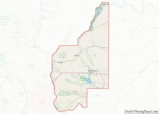
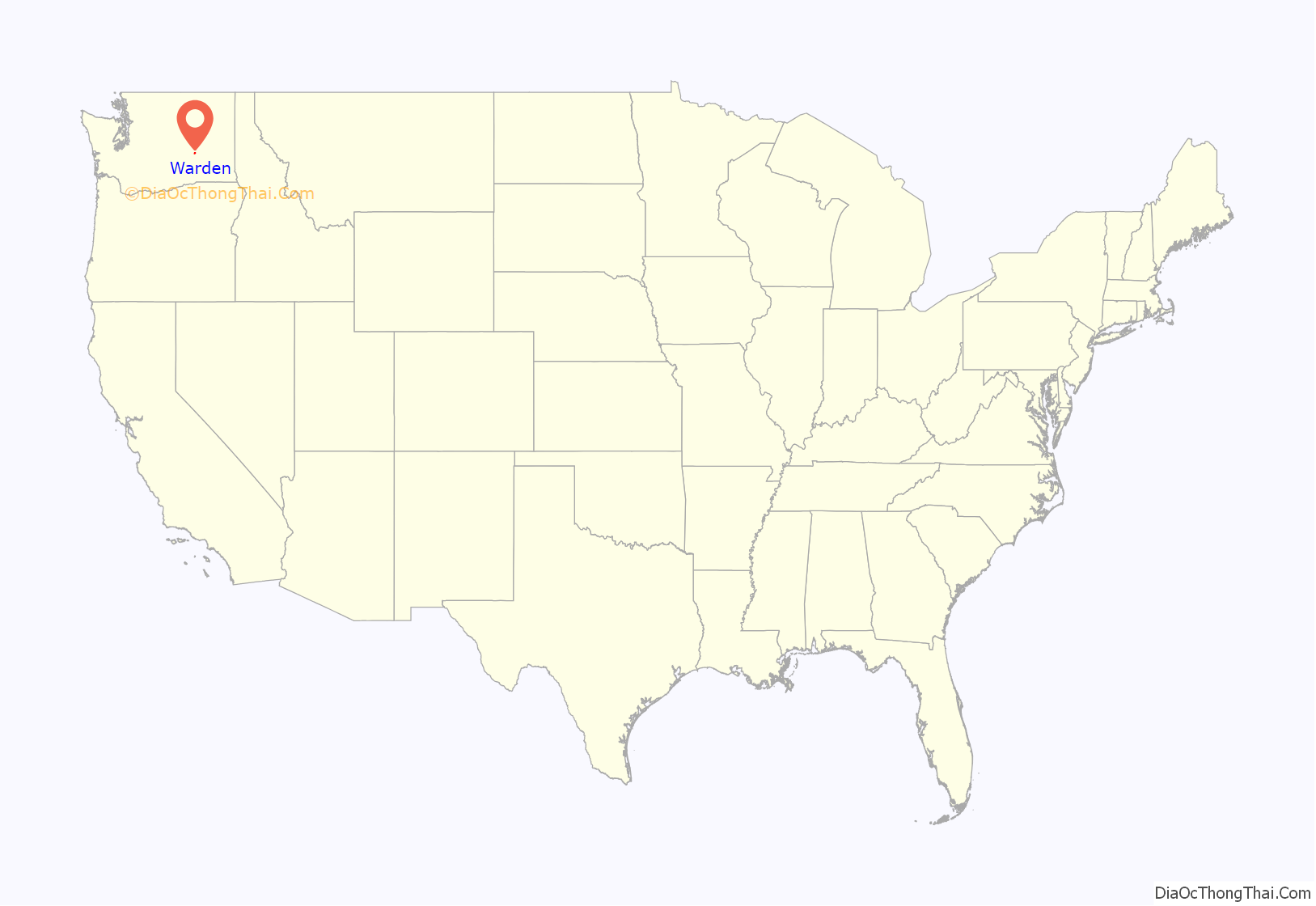
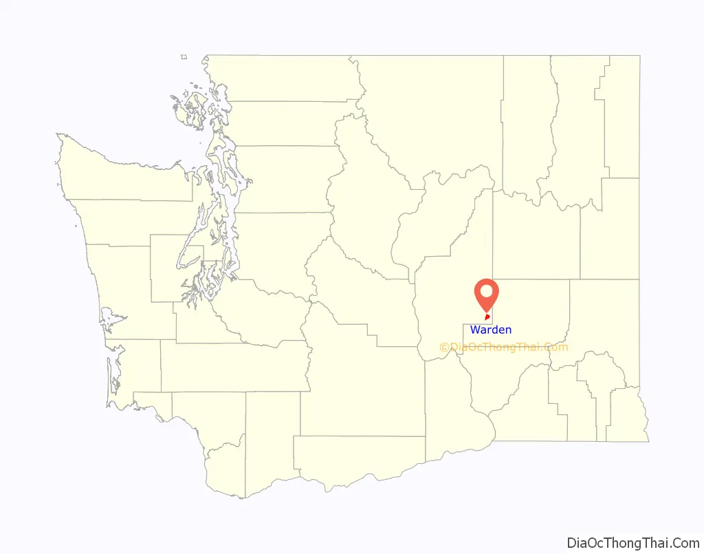
Warden location map. Where is Warden city?
History
The Central Basin plateau was settled in the late 1800s by immigrants of Russian-German (Bessarabian) ancestry who homesteaded in the area and farmed dryland wheat. Prior to this the area had been inhabited by local Native American Salish tribes that had contact with the early Spanish and British traders. The Milwaukee Railroad arrived in the early 1900s and attracted additional settlers, including Doc Harris who established a drug and sundries store with physician services in Warden about 1905. The town’s name of “Warden” comes from its Bessarabian German heritage and means “worthy” or “treasured” as may be noted in the Das Deutsche Woerterbuch von Jacob und Wilhelm Grimm. A local tradition attributes the name of the town to Doc Harris’s son Ward. However, the area of the town was being referred to as “Warden” by its German settlers long before Doc Harris arrived, as may be noted in the Protokol, official church records in German of the original church which is today the Warden Community Church. Other nearby towns also carry Bessarabian German names such as Lind, Ruff, and Odessa. The Bessarabian German tradition of the town has long since vanished and has been mostly replaced with a mixed Anglo/Hispanic culture with a current population that is of roughly 72% Hispanic heritage.
In regards to the history of the present-day Hispanic populace, some of the families can trace their heritage back to the days of the earliest Spanish contact in the area. This first group predates the influx of Bessarabian German settlers by decades. A large number of Hispanics came to work in the fields that opened to more diverse agriculture after the federal Columbia Basin Project brought irrigation to the area. This second group of Hispanics came up from Texas, but they had roots in the villages around the city of Monterey, Mexico. They claim a distinct Tejano culture and have been in the US for generations already. The third group are the most recent arrivals that seem to come mostly from the West Mexican States of Jalisco, Sinaloa, and Sonora. They have a culture that is distinct from the Tejanos in many regards, including language, music, and food. Many in this third group still may speak only Spanish; whereas the other groups may be bilingual or speak only English already.
The Town of Warden was officially incorporated June 28, 1910. By 1917 the population of Warden reached 300. Electricity arrived in 1939, but the town’s population declined through World War II.
In 1945 the beginning of the Columbia Basin Project would bring irrigation water from Grand Coulee Dam to irrigate over 530,000 acres (2,100 km) of arid but fertile soil. In 1948 the federal government started selling government-owned farm units on the Columbia Basin Project to qualified applicants with preference to veterans. By 1954 the East Low Canal was finished. As a result of the project, the population of Warden grew from 322 in 1950 to 949 in 1960 to 1,639 in 1990 and has continued to grow to the current population of about 2,600.
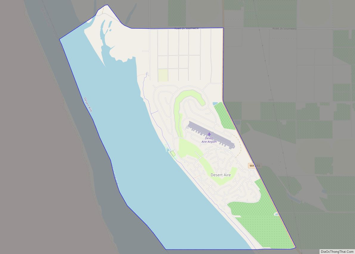
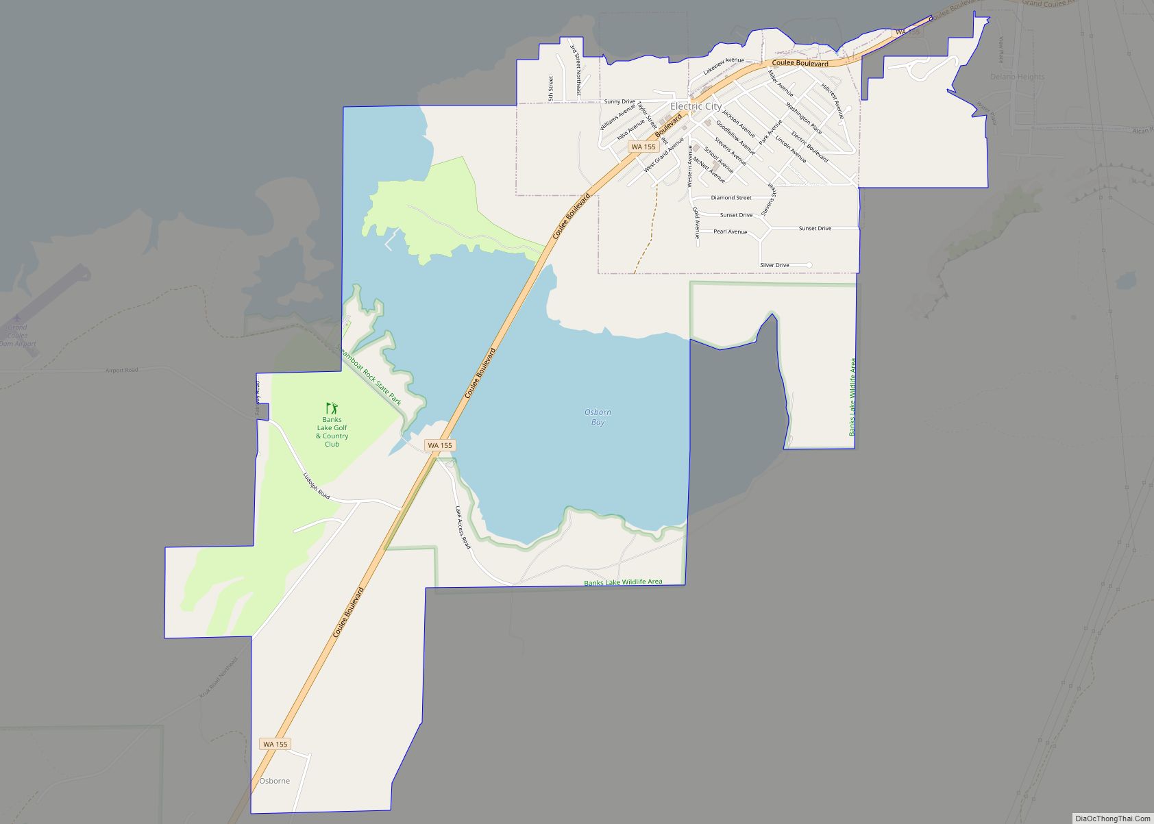
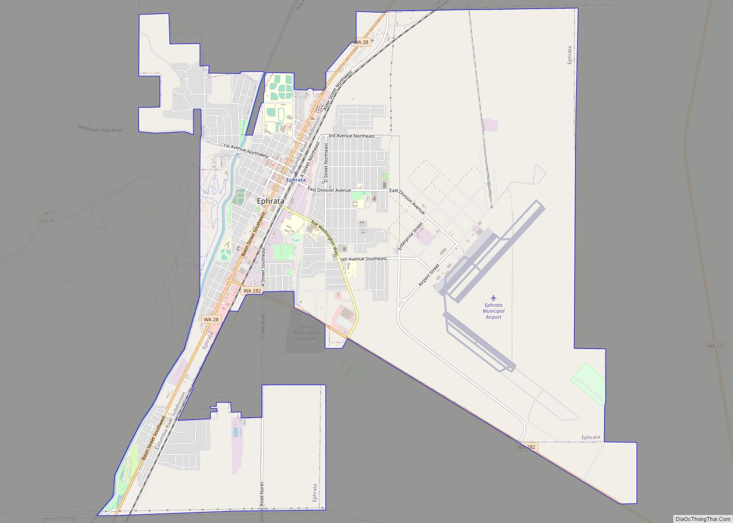
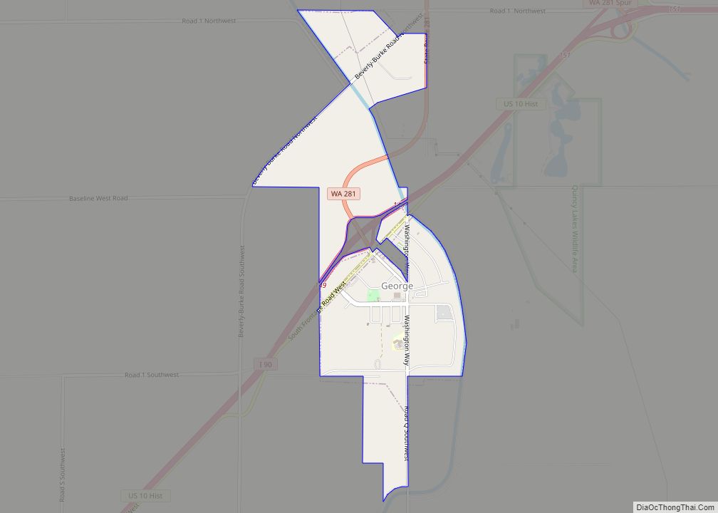
Warden Road Map
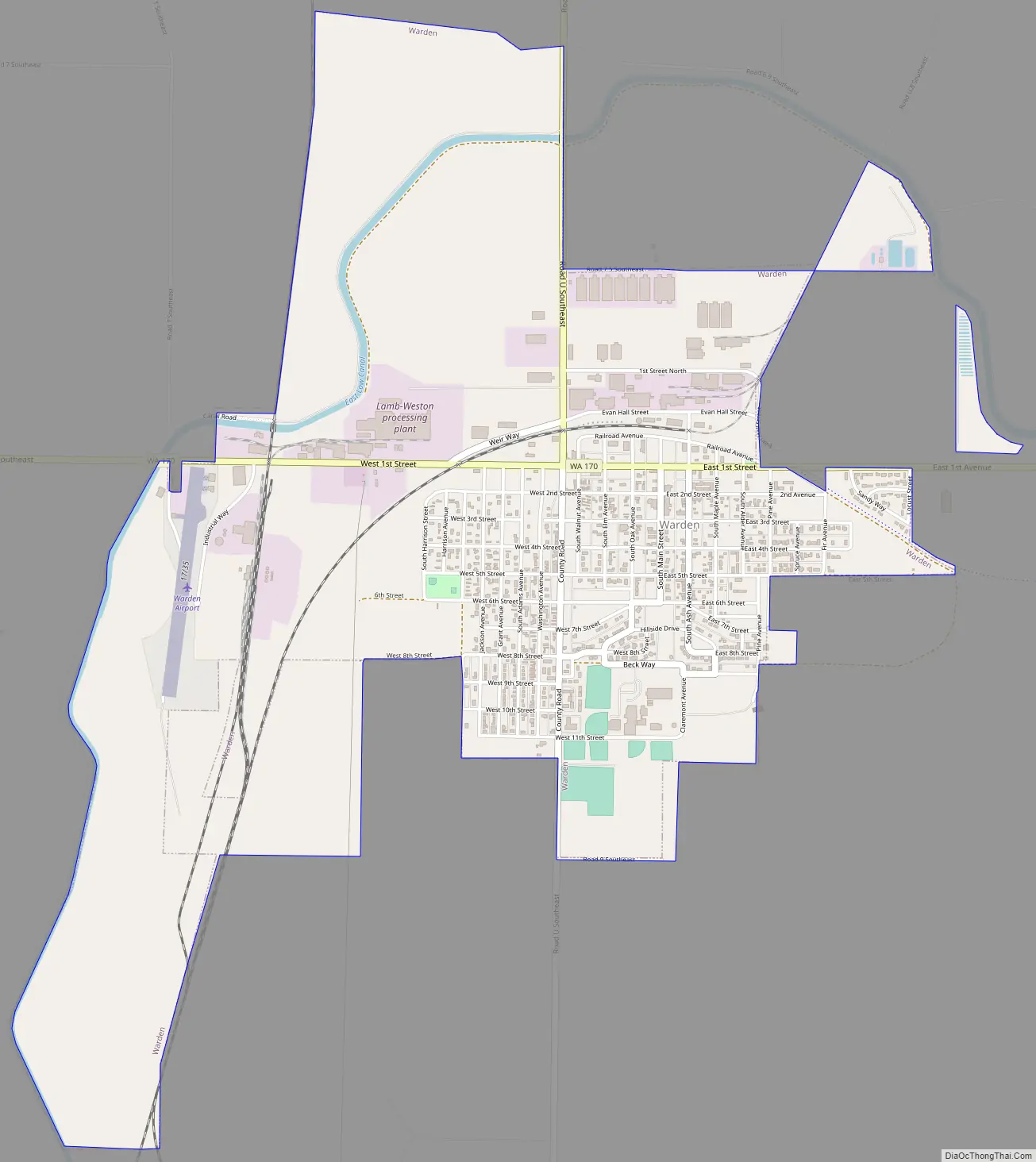
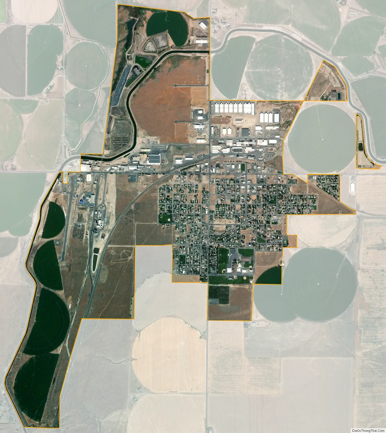
Warden city Satellite Map
Geography
Warden is located at 46°57′59″N 119°2′35″W / 46.96639°N 119.04306°W / 46.96639; -119.04306 (46.966250, -119.043138). According to the United States Census Bureau, the city has a total area of 2.61 square miles (6.76 km), of which, 2.58 square miles (6.68 km) is land and 0.03 square miles (0.08 km) is water.
Climate
According to the Köppen Climate Classification system, Warden has a semi-arid climate, abbreviated “BSk” on climate maps.
See also
Map of Washington State and its subdivision:- Adams
- Asotin
- Benton
- Chelan
- Clallam
- Clark
- Columbia
- Cowlitz
- Douglas
- Ferry
- Franklin
- Garfield
- Grant
- Grays Harbor
- Island
- Jefferson
- King
- Kitsap
- Kittitas
- Klickitat
- Lewis
- Lincoln
- Mason
- Okanogan
- Pacific
- Pend Oreille
- Pierce
- San Juan
- Skagit
- Skamania
- Snohomish
- Spokane
- Stevens
- Thurston
- Wahkiakum
- Walla Walla
- Whatcom
- Whitman
- Yakima
- Alabama
- Alaska
- Arizona
- Arkansas
- California
- Colorado
- Connecticut
- Delaware
- District of Columbia
- Florida
- Georgia
- Hawaii
- Idaho
- Illinois
- Indiana
- Iowa
- Kansas
- Kentucky
- Louisiana
- Maine
- Maryland
- Massachusetts
- Michigan
- Minnesota
- Mississippi
- Missouri
- Montana
- Nebraska
- Nevada
- New Hampshire
- New Jersey
- New Mexico
- New York
- North Carolina
- North Dakota
- Ohio
- Oklahoma
- Oregon
- Pennsylvania
- Rhode Island
- South Carolina
- South Dakota
- Tennessee
- Texas
- Utah
- Vermont
- Virginia
- Washington
- West Virginia
- Wisconsin
- Wyoming