Chicken is a tiny unincorporated village in Southeast Fairbanks Census Area, Alaska. It is a community founded on gold mining, and is one of the few surviving gold rush towns in Alaska. The population was 12 at the time of the 2020 census, up from 7 in 2010. However, usually year round, there are 17 inhabitants: due to mining, Chicken’s population peaks during the summer. It has frequently been noted on lists of unusual place names. There is a cafe with gas station, a small hotel, an RV park, a small general store and a saloon located at Chicken.
| Name: | Chicken CDP |
|---|---|
| LSAD Code: | 57 |
| LSAD Description: | CDP (suffix) |
| State: | Alaska |
| County: | Southeast Fairbanks Census Area |
| Elevation: | 1,677 ft (511 m) |
| Total Area: | 115.95 sq mi (300.32 km²) |
| Land Area: | 115.95 sq mi (300.32 km²) |
| Water Area: | 0.00 sq mi (0.00 km²) |
| Total Population: | 12 |
| Population Density: | 0.10/sq mi (0.04/km²) |
| ZIP code: | 99732 |
| Area code: | 907 |
| FIPS code: | 0213450 |
| GNISfeature ID: | 1400245 |
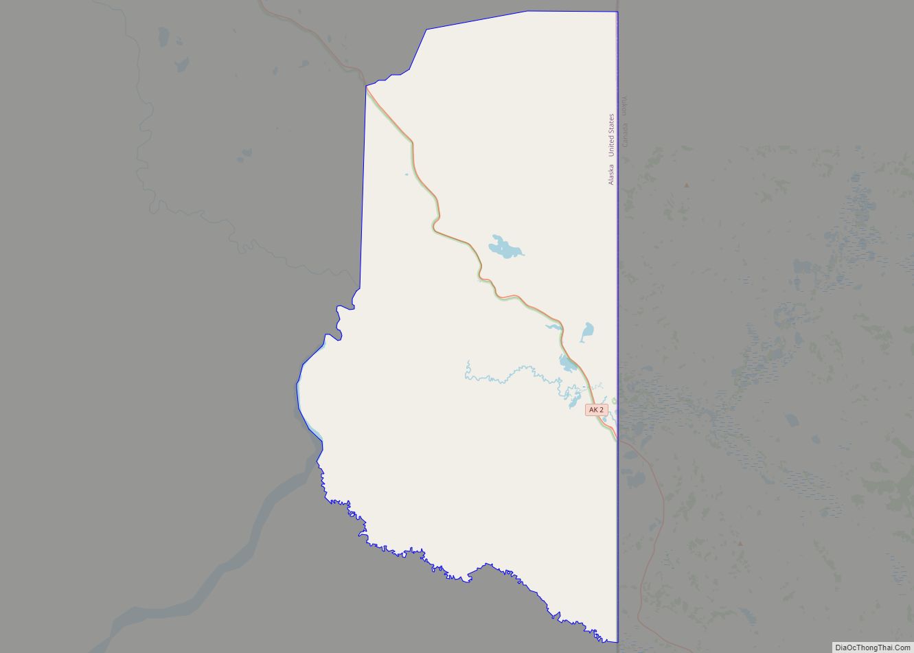
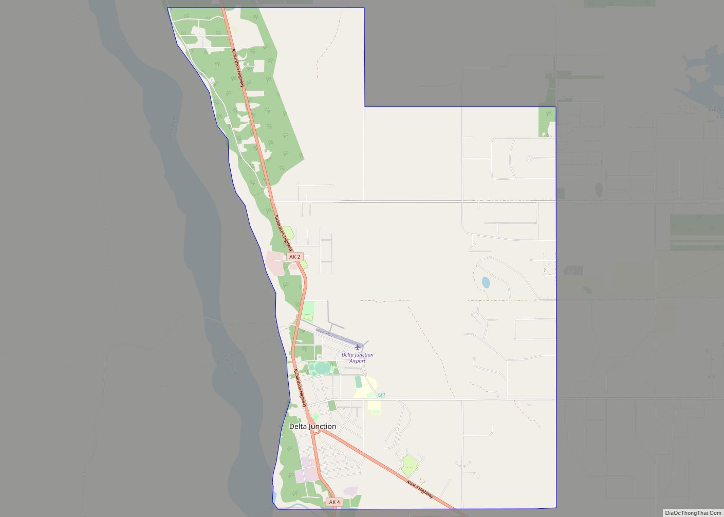
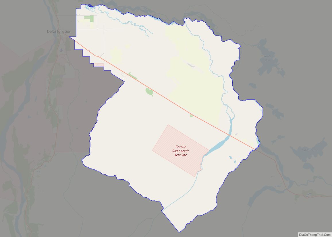
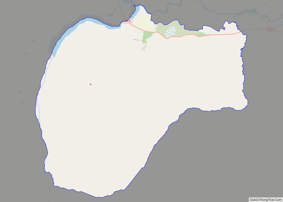
Online Interactive Map
Click on ![]() to view map in "full screen" mode.
to view map in "full screen" mode.
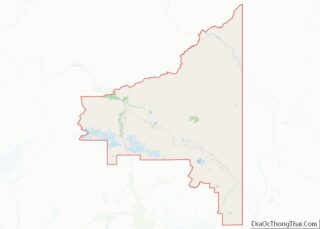
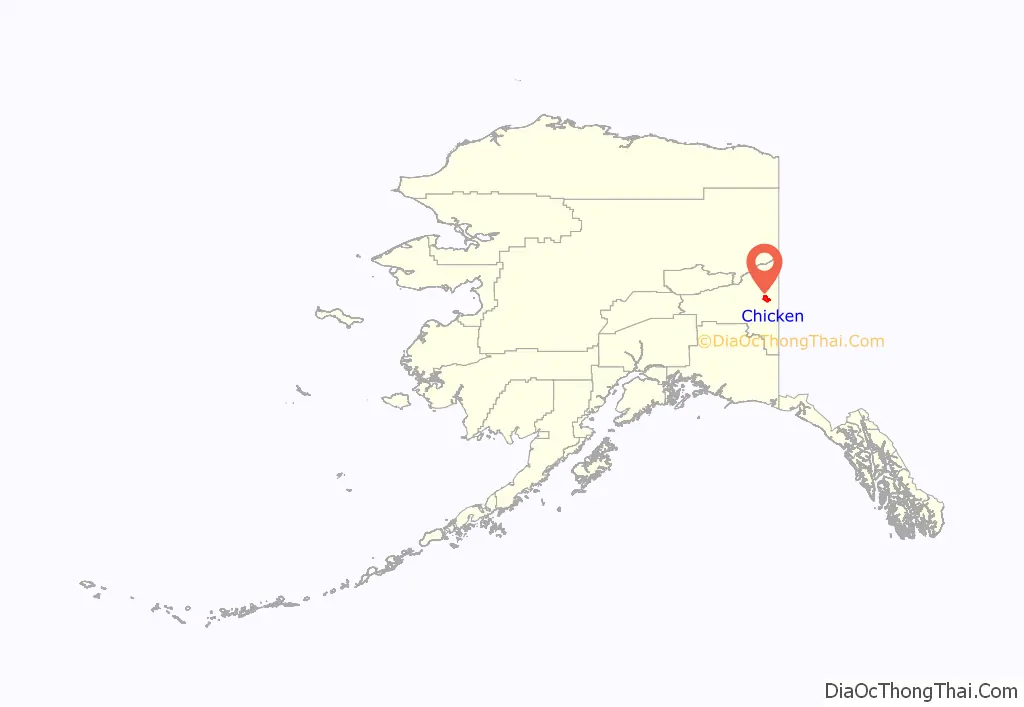
Chicken location map. Where is Chicken CDP?
History
Chicken was settled by gold miners in the late 19th century. In 1902 the local post office was established, requiring a community name. Due to the prevalence of ptarmigan in the area, that name was suggested as the official name for the new community. However, the spelling could not be agreed on, and “Chicken” was used to avoid embarrassment. A portion of Chicken, with buildings from the early 1900s and the F.E. Company Dredge No. 4 (Pedro Dredge), is listed on the National Register of Historic Places as the Chicken Historic District. Chicken is the outpost for the 40 Mile mining district. There are still active gold mines and inactive gold dredges in this area. Enough gold was mined here to make it worthwhile to haul huge gold dredges to this remote location.
On September 7, 2021 Jack in the Box released an ad campaign claiming to have purchased the town for 10,000 Cluck Chicken Sandwiches and a commemorative hat. The company explains on a website created for the campaign this was only an ad, but that the company has donated $10,000 to help the town amid the pandemic. However, as of September 2021 the downtown area of Chicken (not owned by Jack in the Box) was for sale, including the Chicken Creek Cafe, the Chicken Creek Saloon, a liquor store, a gas station, the Chicken Mercantile Emporium, and a 1400 sq. ft. residential cabin.
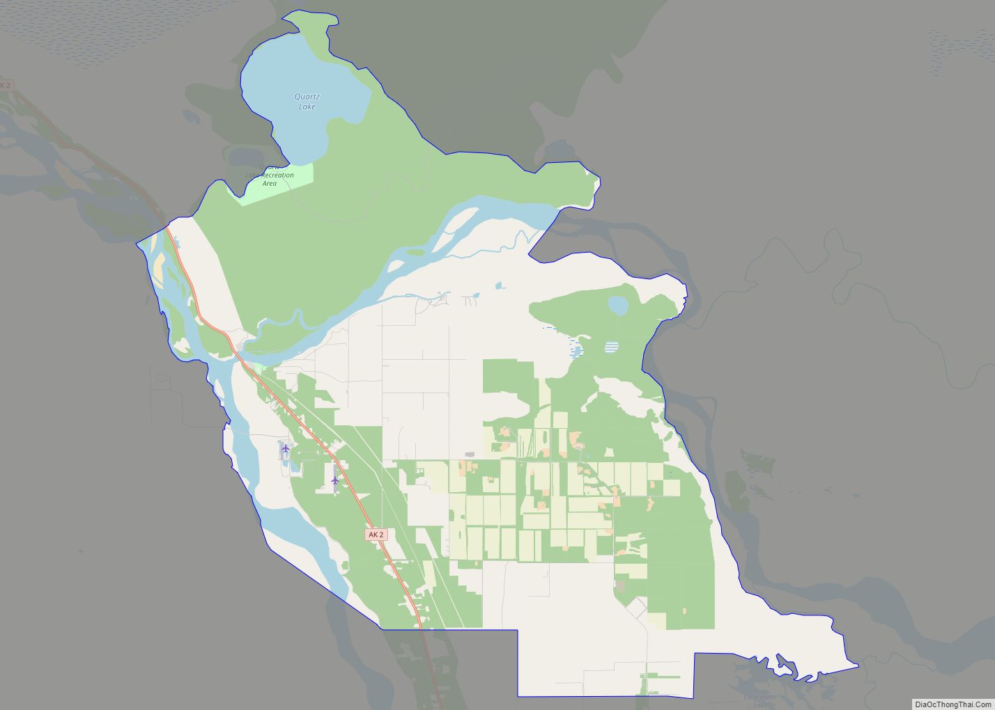
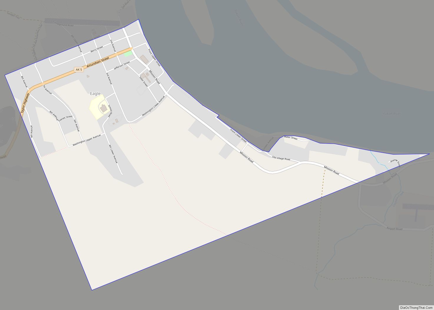
Chicken Road Map
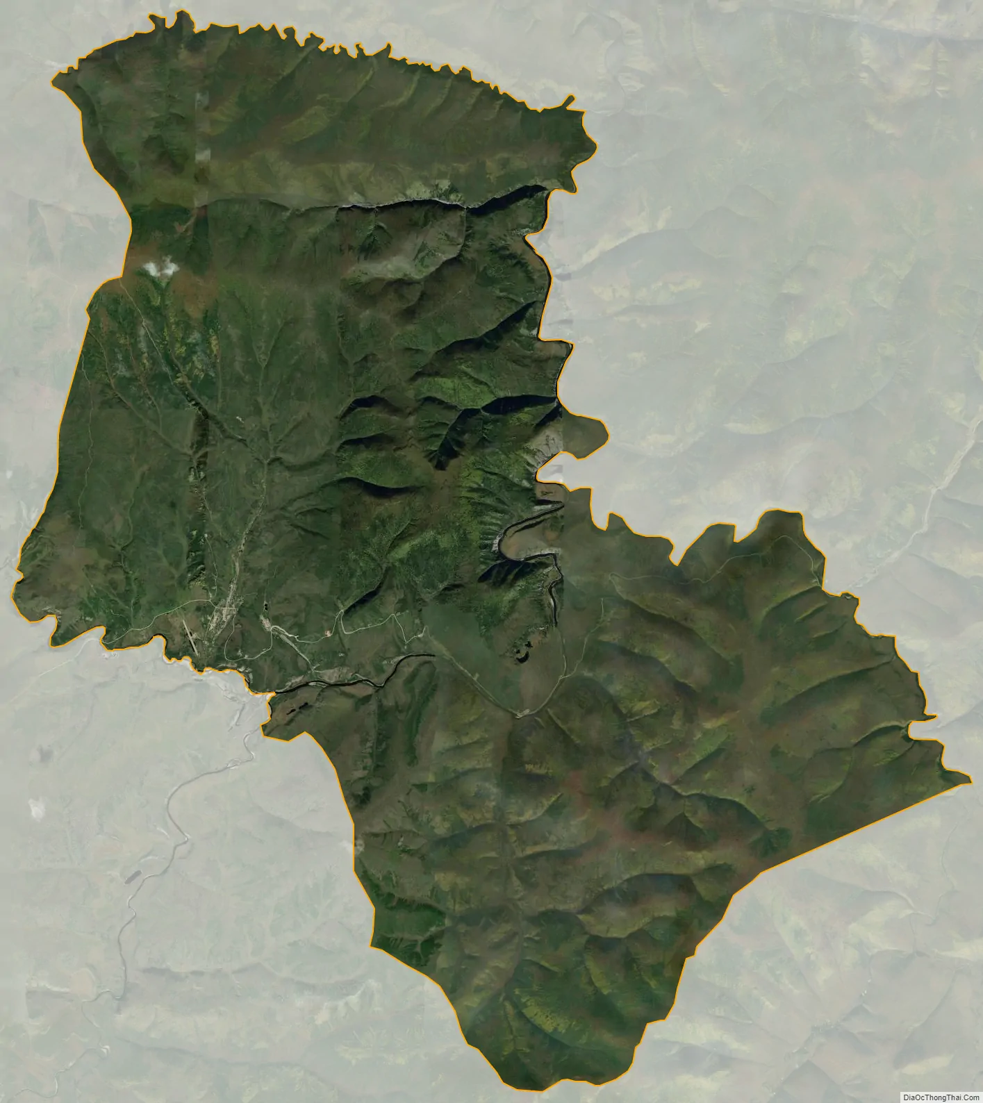
Chicken city Satellite Map
Geography
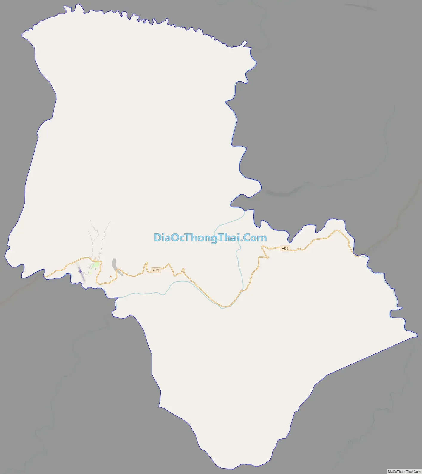
According to the United States Census Bureau, the CDP has a total area of 115.4 square miles (299 km), all of it land.
Chicken is accessible by air via Chicken Airport, and by road via Alaska Route 5, the Taylor Highway, which is not maintained from mid-October through mid-March.
See also
Map of Alaska State and its subdivision:- Aleutians East
- Aleutians West
- Anchorage
- Bethel
- Bristol Bay
- Denali
- Dillingham
- Fairbanks North Star
- Haines
- Juneau
- Kenai Peninsula
- Ketchikan Gateway
- Kodiak Island
- Lake and Peninsula
- Matanuska-Susitna
- Nome
- North Slope
- Northwest Arctic
- Prince of Wales-Outer Ketchi
- Sitka
- Skagway-Yakutat-Angoon
- Southeast Fairbanks
- Valdez-Cordova
- Wade Hampton
- Wrangell-Petersburg
- Yukon-Koyukuk
- Alabama
- Alaska
- Arizona
- Arkansas
- California
- Colorado
- Connecticut
- Delaware
- District of Columbia
- Florida
- Georgia
- Hawaii
- Idaho
- Illinois
- Indiana
- Iowa
- Kansas
- Kentucky
- Louisiana
- Maine
- Maryland
- Massachusetts
- Michigan
- Minnesota
- Mississippi
- Missouri
- Montana
- Nebraska
- Nevada
- New Hampshire
- New Jersey
- New Mexico
- New York
- North Carolina
- North Dakota
- Ohio
- Oklahoma
- Oregon
- Pennsylvania
- Rhode Island
- South Carolina
- South Dakota
- Tennessee
- Texas
- Utah
- Vermont
- Virginia
- Washington
- West Virginia
- Wisconsin
- Wyoming