Halibut Cove is a census-designated place (CDP) in Kenai Peninsula Borough, Alaska, United States. The population was 76 at the 2010 census, up from 35 in 2000.
Originally a fishing village, Halibut Cove is now home to several artists and businesses. One of the only floating U.S. post offices is there. A popular tourist destination, the cove offers several lodges and cabins and the only way to get around the cove is by boat.
| Name: | Halibut Cove CDP |
|---|---|
| LSAD Code: | 57 |
| LSAD Description: | CDP (suffix) |
| State: | Alaska |
| County: | Kenai Peninsula Borough |
| Elevation: | 20 ft (6 m) |
| Total Area: | 11.49 sq mi (29.76 km²) |
| Land Area: | 8.32 sq mi (21.55 km²) |
| Water Area: | 3.17 sq mi (8.21 km²) |
| Total Population: | 60 |
| Population Density: | 7.21/sq mi (2.78/km²) |
| ZIP code: | 99603 |
| Area code: | 907 |
| FIPS code: | 0231270 |
Online Interactive Map
Click on ![]() to view map in "full screen" mode.
to view map in "full screen" mode.
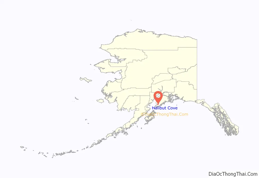
Halibut Cove location map. Where is Halibut Cove CDP?
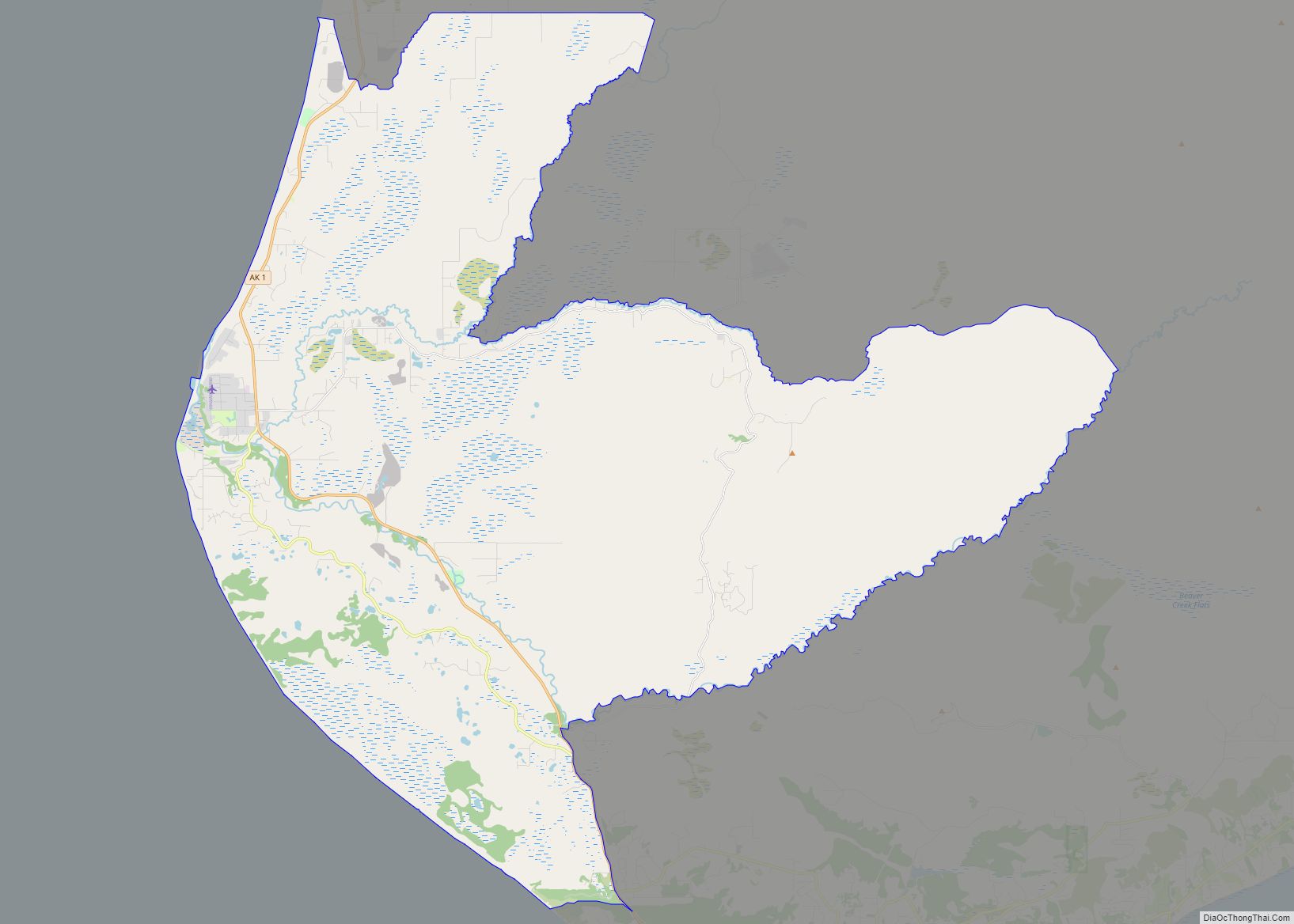
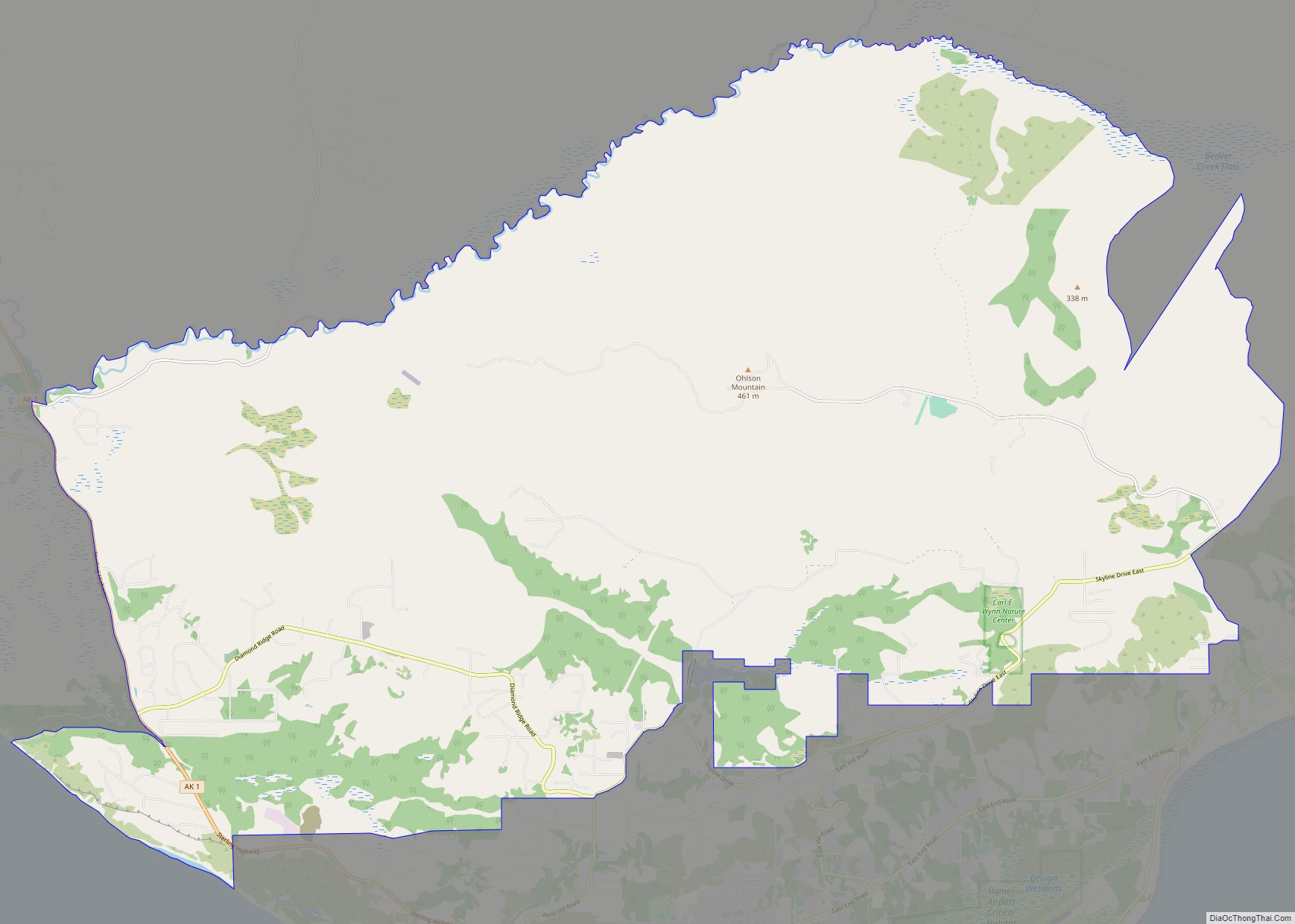
Halibut Cove Road Map
Halibut Cove city Satellite Map
Geography
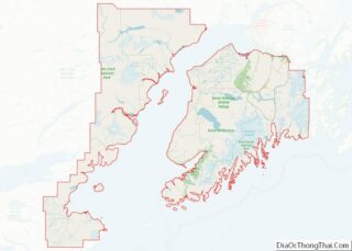
Halibut Cove is located in the southern part of the Kenai Peninsula at 59°35′51″N 151°14′5″W / 59.59750°N 151.23472°W / 59.59750; -151.23472 (59.597549, -151.234607). It lies on the south side of Kachemak Bay, 10 miles (16 km) southeast of Homer. The CDP is bordered to the east by Halibut Cove and to the west by China Poot Bay, both of which are arms of Kachemak Bay. The town center is on Ismailof Island, lying 500 feet (150 m) off the main peninsula across a small narrows. Peterson Bay is an inlet west of Ismailof Island.
According to the United States Census Bureau, the CDP has a total area of 11.5 square miles (29.8 km), of which 8.3 square miles (21.5 km) are land and 3.2 square miles (8.2 km), or 27.60%, are water.
Visitors reach Halibut Cove by private boat from Homer; by the locally operated ferry, the Danny J.’, ‘Stormbird; or by float plane. There is no road access; the primary modes of transportation within the cove are by foot, skiff, or ATV. Areas open to the public around the lagoon are connected by boardwalks, and many homes and businesses are fully or partially constructed on pilings over the water.
Climate
Nabesna has a continental subarctic climate (Köppen Dsc).
See also
Map of Alaska State and its subdivision:- Aleutians East
- Aleutians West
- Anchorage
- Bethel
- Bristol Bay
- Denali
- Dillingham
- Fairbanks North Star
- Haines
- Juneau
- Kenai Peninsula
- Ketchikan Gateway
- Kodiak Island
- Lake and Peninsula
- Matanuska-Susitna
- Nome
- North Slope
- Northwest Arctic
- Prince of Wales-Outer Ketchi
- Sitka
- Skagway-Yakutat-Angoon
- Southeast Fairbanks
- Valdez-Cordova
- Wade Hampton
- Wrangell-Petersburg
- Yukon-Koyukuk
- Alabama
- Alaska
- Arizona
- Arkansas
- California
- Colorado
- Connecticut
- Delaware
- District of Columbia
- Florida
- Georgia
- Hawaii
- Idaho
- Illinois
- Indiana
- Iowa
- Kansas
- Kentucky
- Louisiana
- Maine
- Maryland
- Massachusetts
- Michigan
- Minnesota
- Mississippi
- Missouri
- Montana
- Nebraska
- Nevada
- New Hampshire
- New Jersey
- New Mexico
- New York
- North Carolina
- North Dakota
- Ohio
- Oklahoma
- Oregon
- Pennsylvania
- Rhode Island
- South Carolina
- South Dakota
- Tennessee
- Texas
- Utah
- Vermont
- Virginia
- Washington
- West Virginia
- Wisconsin
- Wyoming
