Kachemak, locally known as Kachemak City, is a small second-class city in the southern portion of the Kenai Peninsula Borough, Alaska, United States. The city consists of several subdivisions and other miscellaneous properties along an approximately 2-mile (3.2 km) stretch of East End Road, adjoining the northeast corner of the much larger (both in terms of area and population) city of Homer. The population grew from 431 as of the 2010 census to 576 at the 2020 census.
| Name: | Kachemak city |
|---|---|
| LSAD Code: | 25 |
| LSAD Description: | city (suffix) |
| State: | Alaska |
| County: | Kenai Peninsula Borough |
| Incorporated: | August 29, 1961 |
| Elevation: | 105 ft (32 m) |
| Total Area: | 1.67 sq mi (4.33 km²) |
| Land Area: | 1.67 sq mi (4.33 km²) |
| Water Area: | 0.00 sq mi (0.00 km²) |
| Total Population: | 576 |
| Population Density: | 344.09/sq mi (132.89/km²) |
| Area code: | 907 |
| FIPS code: | 0236540 |
| GNISfeature ID: | 1413247 |
Online Interactive Map
Click on ![]() to view map in "full screen" mode.
to view map in "full screen" mode.
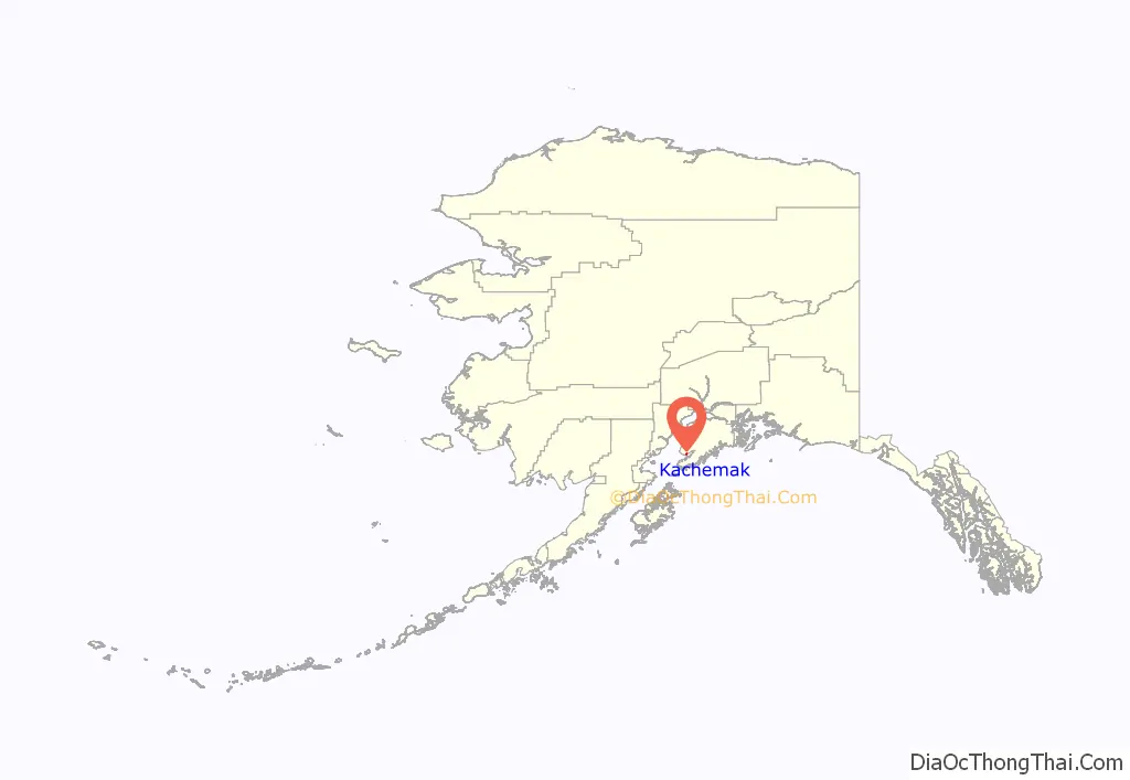
Kachemak location map. Where is Kachemak city?
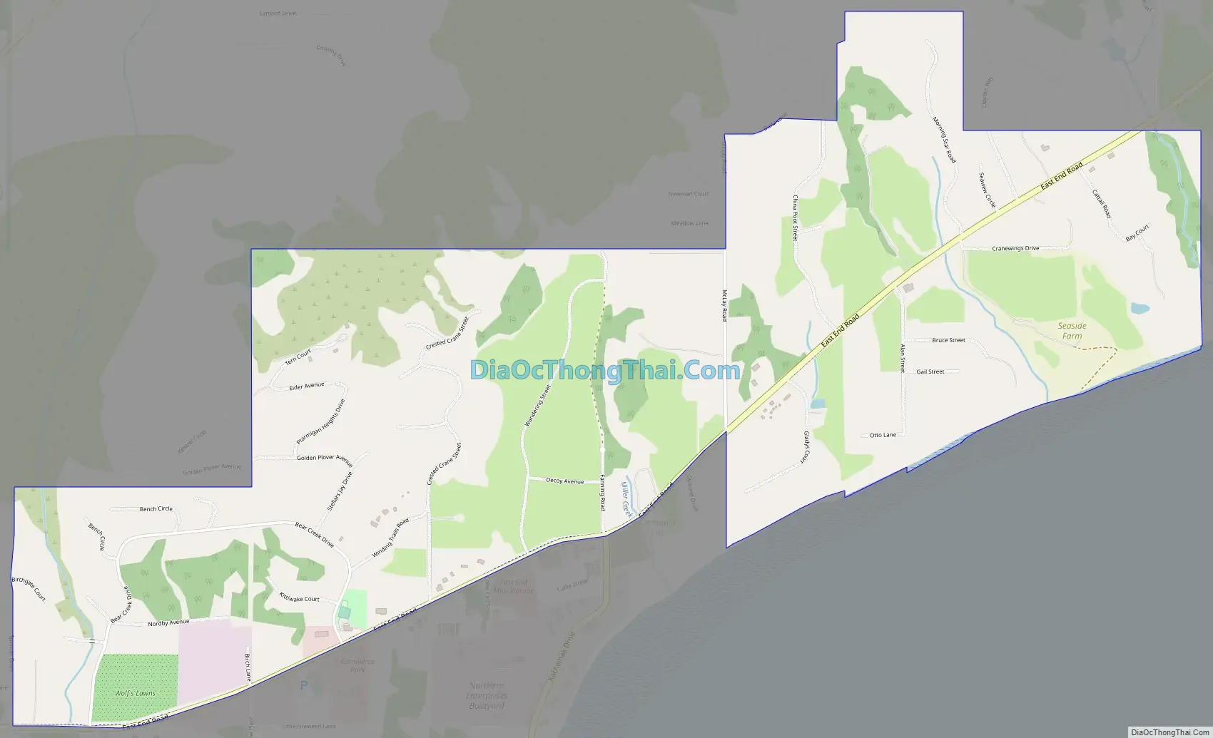
Kachemak Road Map
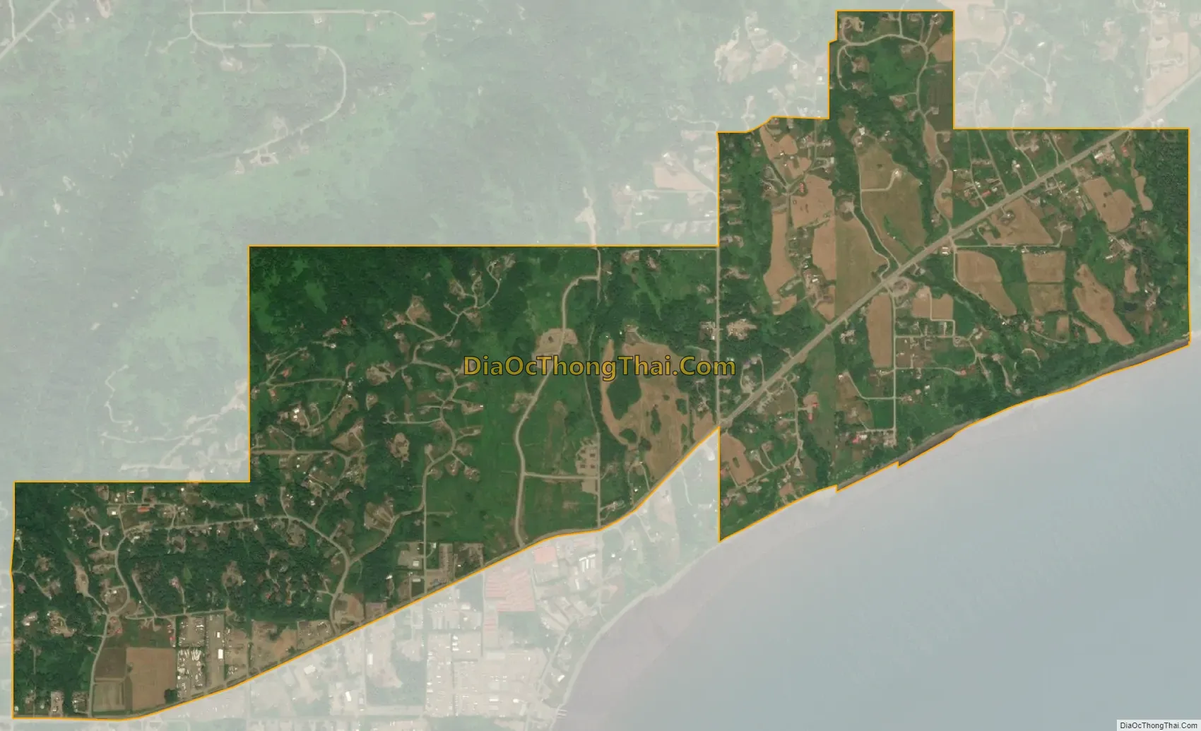
Kachemak city Satellite Map
Geography
Kachemak is located at 59°40′24″N 151°25′59″W / 59.67333°N 151.43306°W / 59.67333; -151.43306 (59.673395, -151.433170).
The city lies just east of Homer on the north side of Kachemak Bay in south central Alaska.
According to the United States Census Bureau, the city has a total area of 1.6 square miles (4.1 km), all of it land.
See also
Map of Alaska State and its subdivision:- Aleutians East
- Aleutians West
- Anchorage
- Bethel
- Bristol Bay
- Denali
- Dillingham
- Fairbanks North Star
- Haines
- Juneau
- Kenai Peninsula
- Ketchikan Gateway
- Kodiak Island
- Lake and Peninsula
- Matanuska-Susitna
- Nome
- North Slope
- Northwest Arctic
- Prince of Wales-Outer Ketchi
- Sitka
- Skagway-Yakutat-Angoon
- Southeast Fairbanks
- Valdez-Cordova
- Wade Hampton
- Wrangell-Petersburg
- Yukon-Koyukuk
- Alabama
- Alaska
- Arizona
- Arkansas
- California
- Colorado
- Connecticut
- Delaware
- District of Columbia
- Florida
- Georgia
- Hawaii
- Idaho
- Illinois
- Indiana
- Iowa
- Kansas
- Kentucky
- Louisiana
- Maine
- Maryland
- Massachusetts
- Michigan
- Minnesota
- Mississippi
- Missouri
- Montana
- Nebraska
- Nevada
- New Hampshire
- New Jersey
- New Mexico
- New York
- North Carolina
- North Dakota
- Ohio
- Oklahoma
- Oregon
- Pennsylvania
- Rhode Island
- South Carolina
- South Dakota
- Tennessee
- Texas
- Utah
- Vermont
- Virginia
- Washington
- West Virginia
- Wisconsin
- Wyoming


