Mekoryuk (Nunivak Cup’ig: Mikuryarmiut; Central Yup’ik: Mikuryar) is a city located on Nunivak Island in the Bethel Census Area, Alaska, United States. At the 2010 census the population was 191, down from 210 in 2000.
| Name: | Mekoryuk city |
|---|---|
| LSAD Code: | 25 |
| LSAD Description: | city (suffix) |
| State: | Alaska |
| County: | Bethel Census Area |
| Incorporated: | September 24, 1969 |
| Elevation: | 7 ft (2 m) |
| Total Area: | 7.08 sq mi (18.34 km²) |
| Land Area: | 7.07 sq mi (18.30 km²) |
| Water Area: | 0.01 sq mi (0.03 km²) |
| Total Population: | 206 |
| Population Density: | 29.15/sq mi (11.25/km²) |
| ZIP code: | 99630 |
| Area code: | 907 |
| FIPS code: | 0247990 |
| GNISfeature ID: | 1406211 |
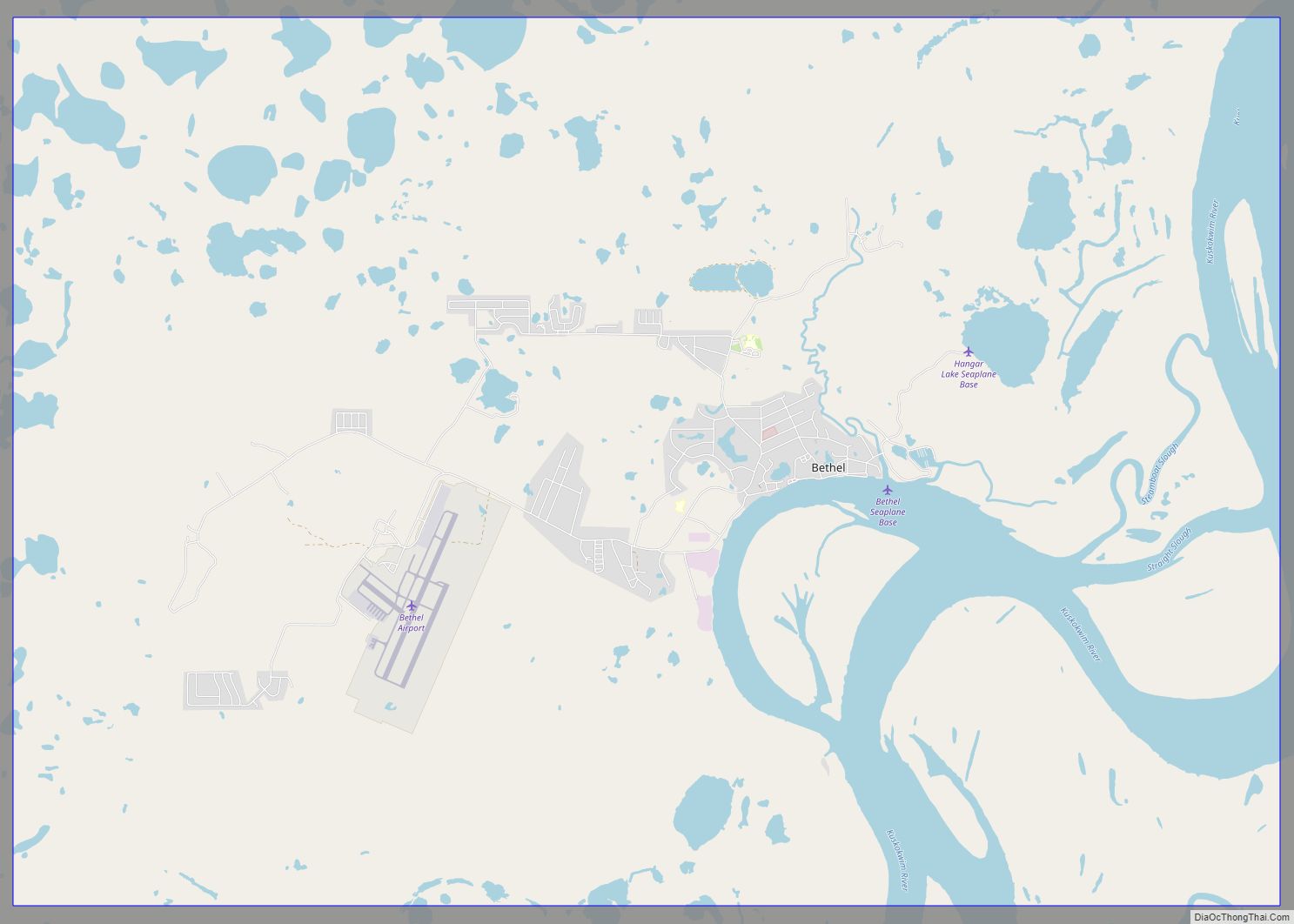
Online Interactive Map
Click on ![]() to view map in "full screen" mode.
to view map in "full screen" mode.
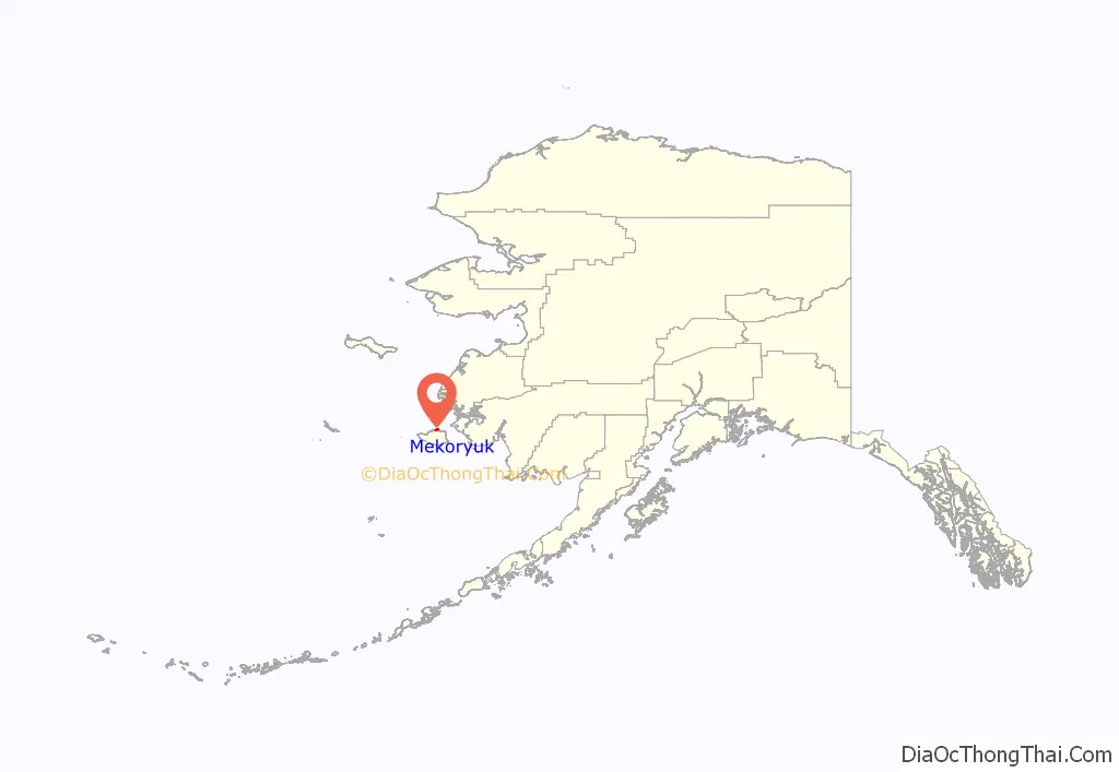
Mekoryuk location map. Where is Mekoryuk city?
History
Nunivak Island has been inhabited for 2,000 years by the Nuniwarmiut, or Nunivak Cup’ig people.
The community’s first contact with Europeans was in 1821 when explorers from the Russian-American Company arrived on their island. These Russians recorded 400 people living in 16 villages on the Nunivak Island.
While conducting the 1880 United States Census, Ivan Petrof recorded 702 Yup’ik in 9 villages, including 117 people at “Koot”, near the site of present-day Mekoryuk. An epidemic in 1900 left only four surviving families in the village.
In the 1930s, the Evangelical Covenant Church was built at Mekoryuk, followed by a school in 1939. People moved to the village from other areas of the island to be near the school. Reindeer herding was introduced in 1920 by an Eskimo-Russian trader. The operation was purchased by the United States government in the 1940s and a slaughterhouse was built in 1945. The reindeer were crossed with caribou from Denali Park. The resulting animals were larger and less tame than other reindeer. 34 musk ox from Greenland were transferred to the Nunivak Island in 1934 in an effort to save the species from extinction. Today, the musk-ox herd numbers around 500, and calves from this herd have been relocated and introduced to other areas of Alaska.
In the mid-20th century, Mekoryuk became the only permanent population center on the island. Until the 1940s, the traditional lifestyle and traditional ceremonies and religious beliefs were practiced.
The 1950s and 1960s brought considerable change. Mekoryuk Airport was built in 1957. When the Territorial Guard was formed, men were sent to Fort Richardson near Anchorage for training. During this time, many families moved to Bethel during the winter to be near the high school, returning in the spring for fishing and sea mammal hunting. A high school was constructed in Mekoryuk in 1978.
Mekoryuk Road Map
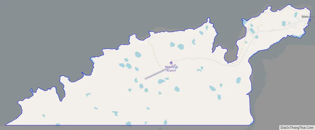
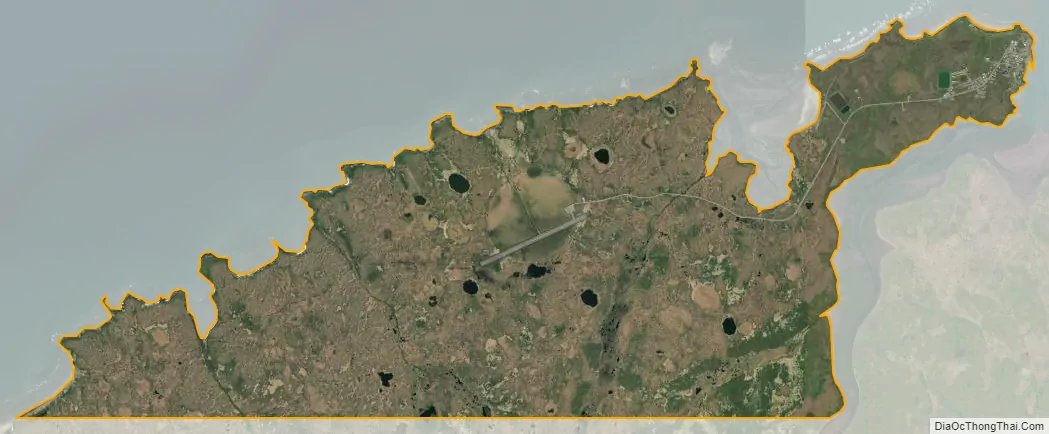
Mekoryuk city Satellite Map
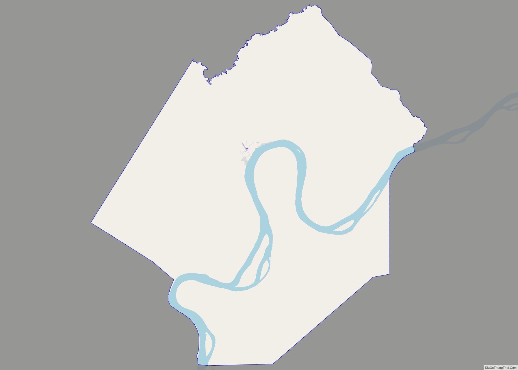
Geography
Mekoryuk is located at the mouth of Shoal Bay on the north shore of Nunivak Island in the Bering Sea. The island lies 48 km (30 mi) west of the Alaska coast. According to the United States Census Bureau, the city has a total area of 7.4 square miles (19 km), of which, 7.4 square miles (19 km) of it is land and 0.14% is water.
Climate
Mekoryuk has a tundra climate (Köppen: ET), that borders on a subarctic climate (Köppen: Dfc).
See also
Map of Alaska State and its subdivision:- Aleutians East
- Aleutians West
- Anchorage
- Bethel
- Bristol Bay
- Denali
- Dillingham
- Fairbanks North Star
- Haines
- Juneau
- Kenai Peninsula
- Ketchikan Gateway
- Kodiak Island
- Lake and Peninsula
- Matanuska-Susitna
- Nome
- North Slope
- Northwest Arctic
- Prince of Wales-Outer Ketchi
- Sitka
- Skagway-Yakutat-Angoon
- Southeast Fairbanks
- Valdez-Cordova
- Wade Hampton
- Wrangell-Petersburg
- Yukon-Koyukuk
- Alabama
- Alaska
- Arizona
- Arkansas
- California
- Colorado
- Connecticut
- Delaware
- District of Columbia
- Florida
- Georgia
- Hawaii
- Idaho
- Illinois
- Indiana
- Iowa
- Kansas
- Kentucky
- Louisiana
- Maine
- Maryland
- Massachusetts
- Michigan
- Minnesota
- Mississippi
- Missouri
- Montana
- Nebraska
- Nevada
- New Hampshire
- New Jersey
- New Mexico
- New York
- North Carolina
- North Dakota
- Ohio
- Oklahoma
- Oregon
- Pennsylvania
- Rhode Island
- South Carolina
- South Dakota
- Tennessee
- Texas
- Utah
- Vermont
- Virginia
- Washington
- West Virginia
- Wisconsin
- Wyoming