Northway (K’ehtthiign in Upper Tanana Athabascan) is a census-designated place (CDP) in Southeast Fairbanks Census Area, Alaska, United States. Prior to the 2020 Census, the borders of the CDP got expanded to include Northway Junction and Northway Village. The population was 234 at the 2020 census, up from 71 in 2010.
| Name: | Northway CDP |
|---|---|
| LSAD Code: | 57 |
| LSAD Description: | CDP (suffix) |
| State: | Alaska |
| County: | Southeast Fairbanks Census Area |
| Elevation: | 1,709 ft (521 m) |
| Total Area: | 247.32 sq mi (640.55 km²) |
| Land Area: | 242.41 sq mi (627.84 km²) |
| Water Area: | 4.91 sq mi (12.71 km²) |
| Total Population: | 234 |
| Population Density: | 0.97/sq mi (0.37/km²) |
| ZIP code: | 99764 |
| Area code: | 907 |
| FIPS code: | 0256220 |
| GNISfeature ID: | 1407253 |
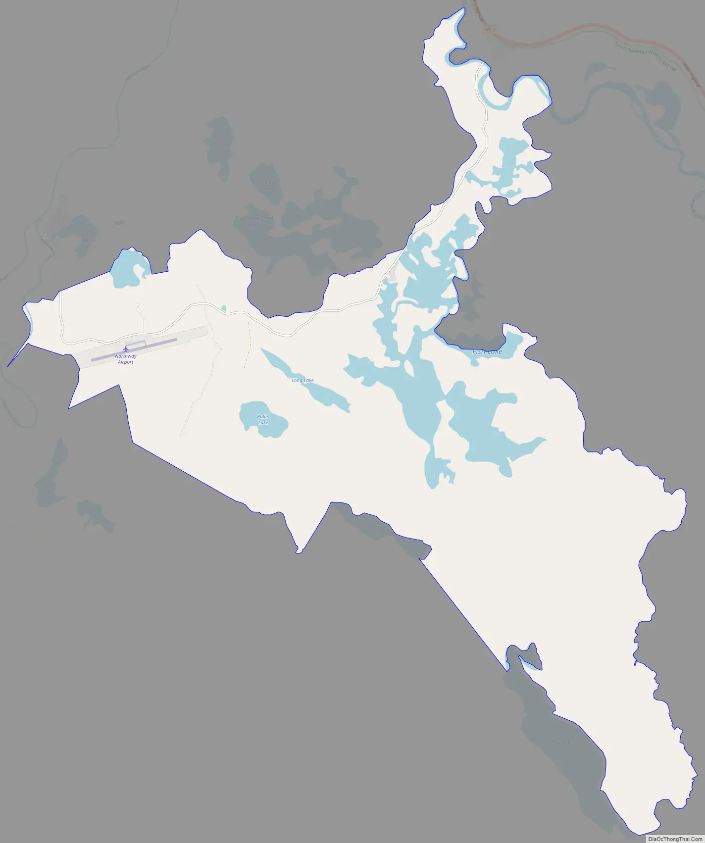
Online Interactive Map
Click on ![]() to view map in "full screen" mode.
to view map in "full screen" mode.
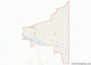
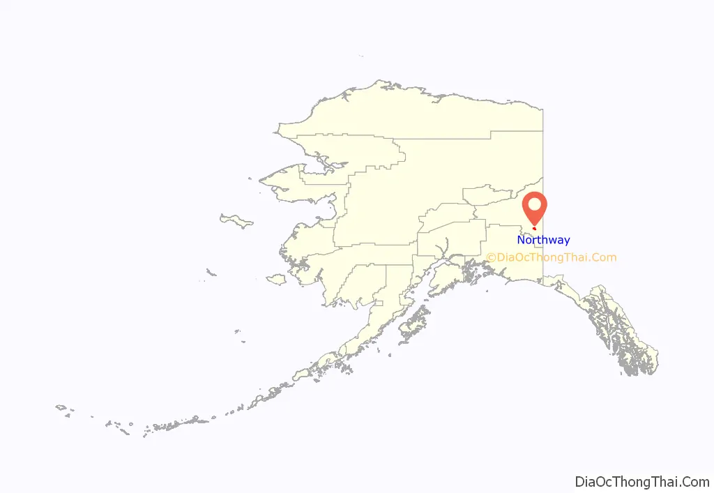
Northway location map. Where is Northway CDP?
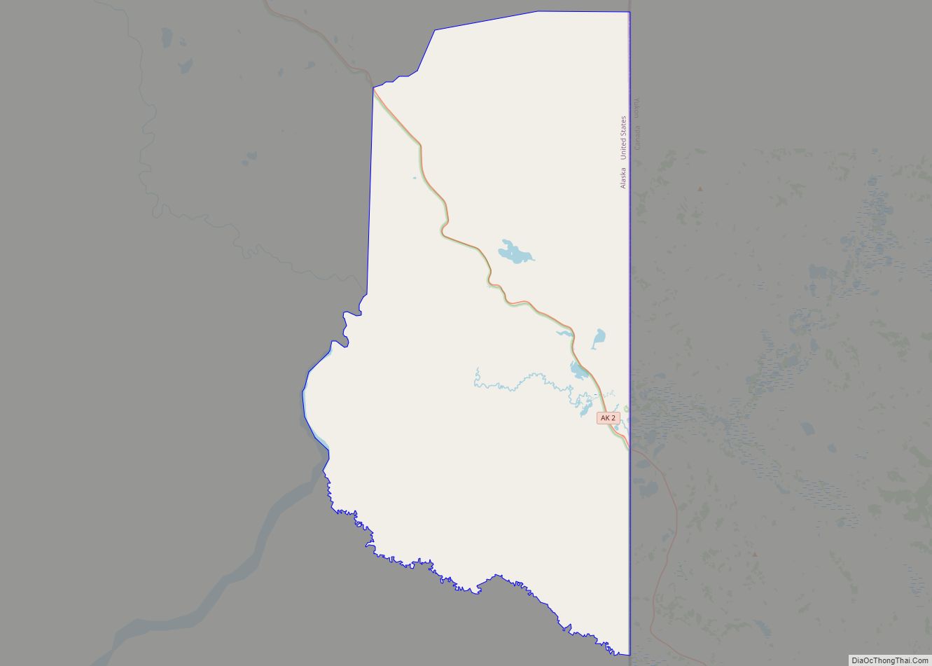
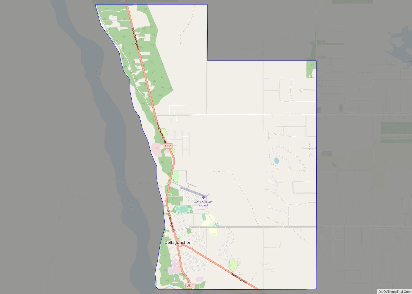
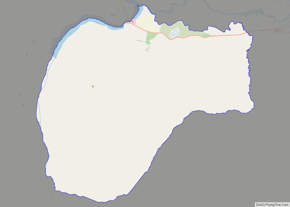
Northway Road Map
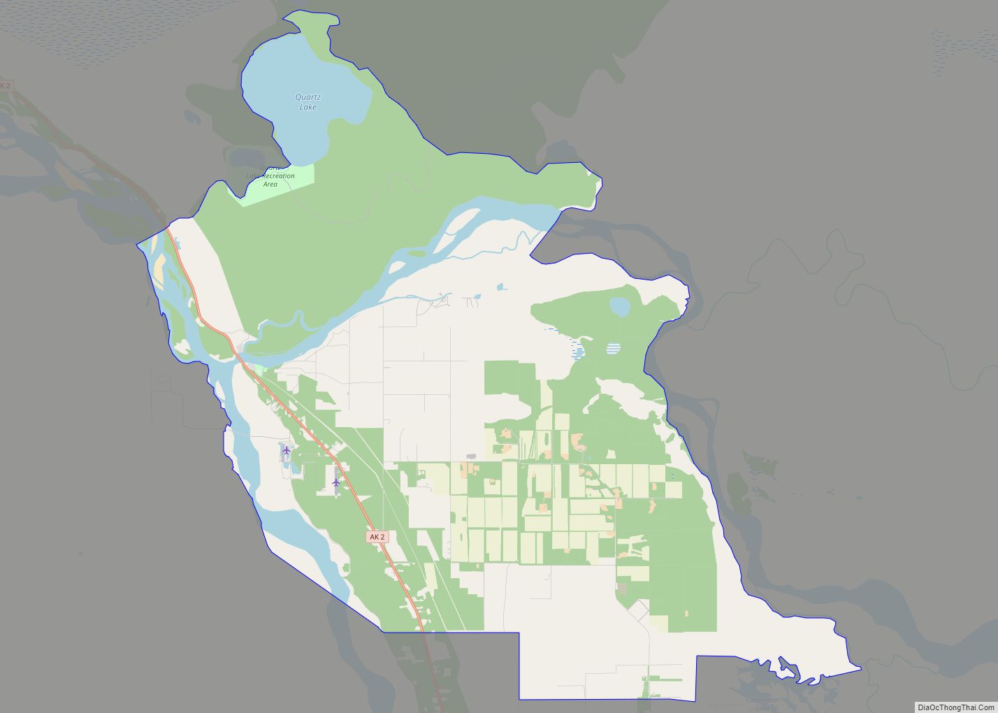
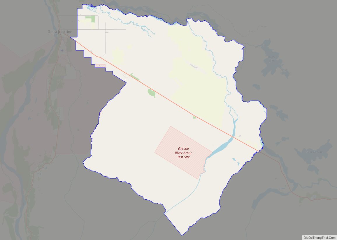
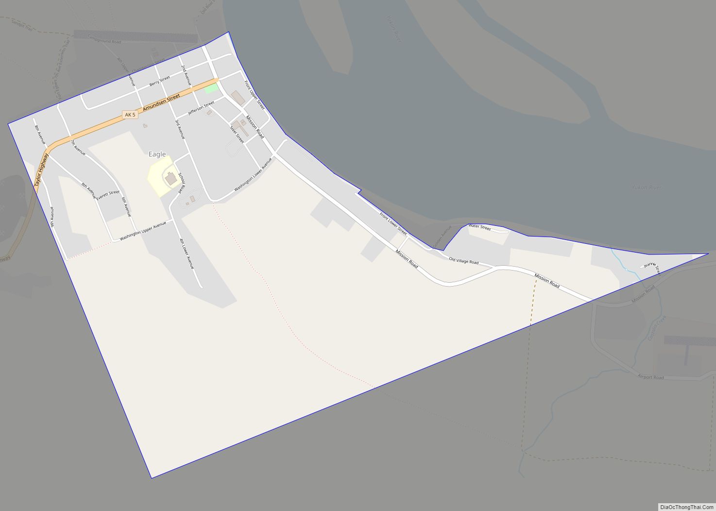
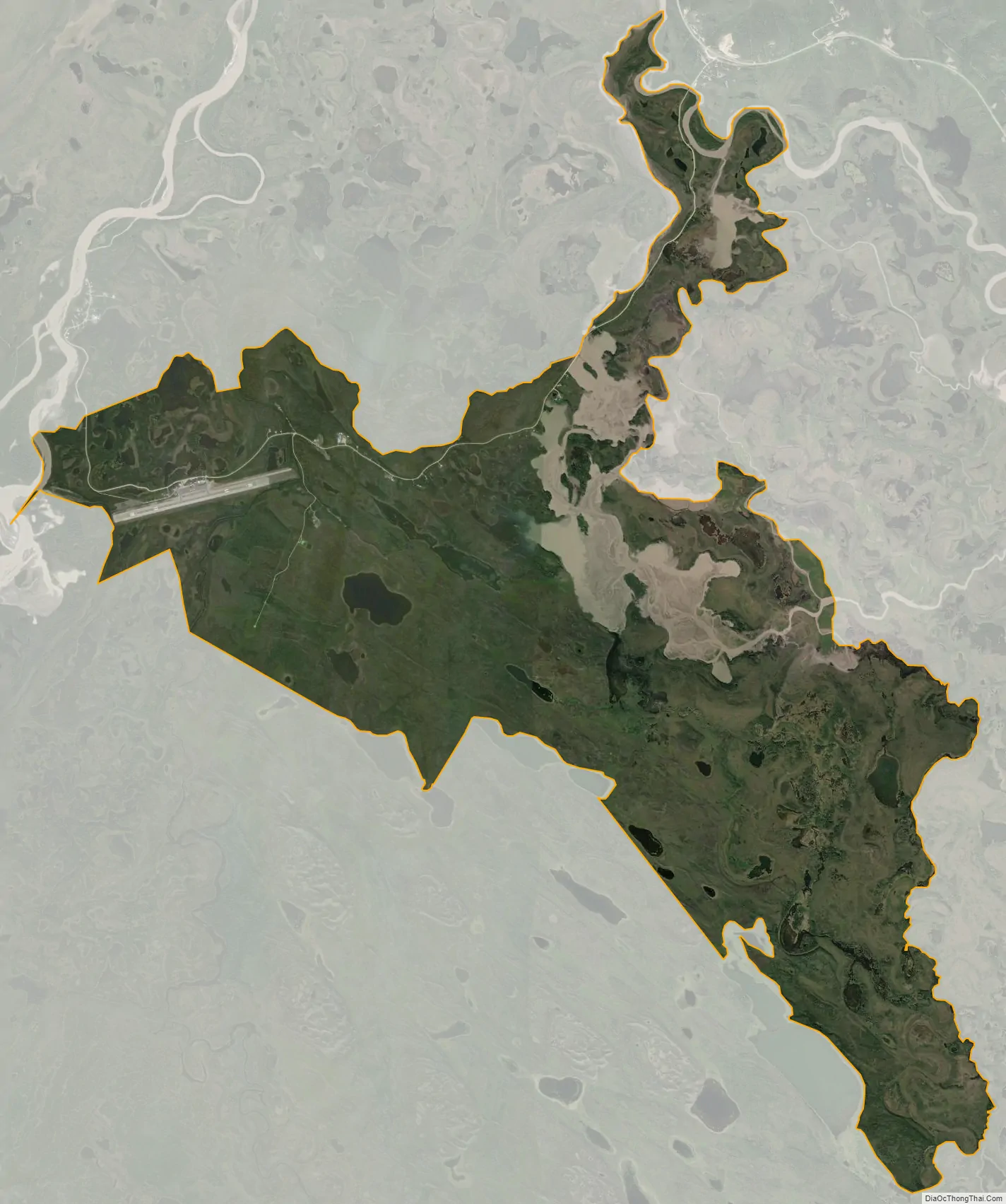
Northway city Satellite Map
Geography
Northway is located at 62°58′9″N 141°54′18″W / 62.96917°N 141.90500°W / 62.96917; -141.90500 (62.969297, -141.905034).
According to the United States Census Bureau in 2020, the CDP has a total area of 247.32 square miles (640.6 km), of which, 242.41 square miles (627.8 km) of it is land and 4.91 square miles (12.7 km) of it (8.45%) is water.
The highest sea-level pressure in the United States was recorded at Northway on January 31, 1989 with a reading of 31.85 inches, a record only surpassed by two readings in Siberia. Due to aircraft altimeters only being able to calibrate to 31 inches, most were grounded.
See also
Map of Alaska State and its subdivision:- Aleutians East
- Aleutians West
- Anchorage
- Bethel
- Bristol Bay
- Denali
- Dillingham
- Fairbanks North Star
- Haines
- Juneau
- Kenai Peninsula
- Ketchikan Gateway
- Kodiak Island
- Lake and Peninsula
- Matanuska-Susitna
- Nome
- North Slope
- Northwest Arctic
- Prince of Wales-Outer Ketchi
- Sitka
- Skagway-Yakutat-Angoon
- Southeast Fairbanks
- Valdez-Cordova
- Wade Hampton
- Wrangell-Petersburg
- Yukon-Koyukuk
- Alabama
- Alaska
- Arizona
- Arkansas
- California
- Colorado
- Connecticut
- Delaware
- District of Columbia
- Florida
- Georgia
- Hawaii
- Idaho
- Illinois
- Indiana
- Iowa
- Kansas
- Kentucky
- Louisiana
- Maine
- Maryland
- Massachusetts
- Michigan
- Minnesota
- Mississippi
- Missouri
- Montana
- Nebraska
- Nevada
- New Hampshire
- New Jersey
- New Mexico
- New York
- North Carolina
- North Dakota
- Ohio
- Oklahoma
- Oregon
- Pennsylvania
- Rhode Island
- South Carolina
- South Dakota
- Tennessee
- Texas
- Utah
- Vermont
- Virginia
- Washington
- West Virginia
- Wisconsin
- Wyoming