Port Graham, also known as Paluwik (pah-LU-wig) in the Alutiiq language, is a census-designated place (CDP) in Kenai Peninsula Borough, Alaska, United States. At the 2020 census, the population was 162.
| Name: | Port Graham CDP |
|---|---|
| LSAD Code: | 57 |
| LSAD Description: | CDP (suffix) |
| State: | Alaska |
| County: | Kenai Peninsula Borough |
| Elevation: | 20 ft (6 m) |
| Total Area: | 6.39 sq mi (16.56 km²) |
| Land Area: | 6.39 sq mi (16.56 km²) |
| Water Area: | 0.00 sq mi (0.00 km²) |
| Total Population: | 162 |
| Population Density: | 25.34/sq mi (9.78/km²) |
| ZIP code: | 99603 |
| Area code: | 907 |
| FIPS code: | 0263280 |
Online Interactive Map
Click on ![]() to view map in "full screen" mode.
to view map in "full screen" mode.
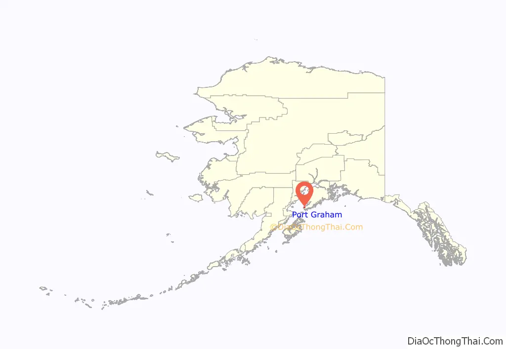
Port Graham location map. Where is Port Graham CDP?
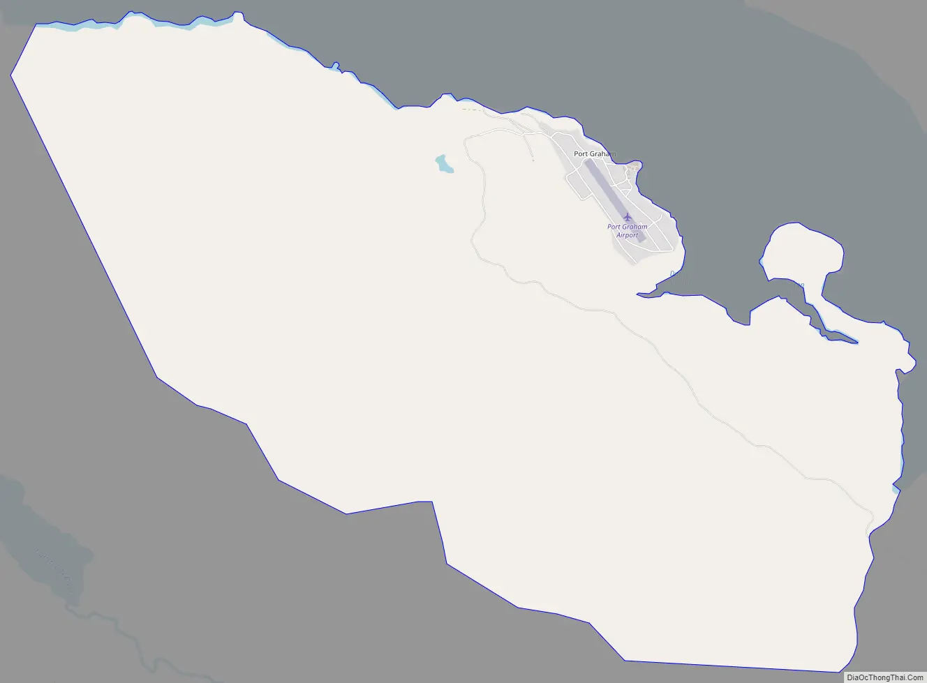
Port Graham Road Map
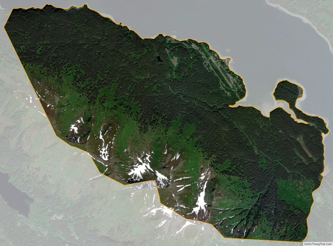
Port Graham city Satellite Map
Geography
Port Graham and Nanwalek are located near the southern tip of the Kenai Peninsula and are separated by less than 5 miles (8 km). Although they have local roads, there is no road access into this area. All vehicles must be brought in by barge or ferry. Both villages are accessible by air or water. They lie 22 miles (35 km) southwest of Homer and about 7 miles (11 km) by air from Seldovia. The Alaska Marine Highway System provides ferry service to all of Kachemak Bay, the water body separating Port Graham, Nanwalek and Seldovia from Homer.
Port Graham is located at 59°20′52″N 151°50′0″W / 59.34778°N 151.83333°W / 59.34778; -151.83333 (59.347736, -151.833420). According to the United States Census Bureau, the CDP has a total area of 6.4 square miles (16.5 km), all of it recorded as land.
See also
Map of Alaska State and its subdivision:- Aleutians East
- Aleutians West
- Anchorage
- Bethel
- Bristol Bay
- Denali
- Dillingham
- Fairbanks North Star
- Haines
- Juneau
- Kenai Peninsula
- Ketchikan Gateway
- Kodiak Island
- Lake and Peninsula
- Matanuska-Susitna
- Nome
- North Slope
- Northwest Arctic
- Prince of Wales-Outer Ketchi
- Sitka
- Skagway-Yakutat-Angoon
- Southeast Fairbanks
- Valdez-Cordova
- Wade Hampton
- Wrangell-Petersburg
- Yukon-Koyukuk
- Alabama
- Alaska
- Arizona
- Arkansas
- California
- Colorado
- Connecticut
- Delaware
- District of Columbia
- Florida
- Georgia
- Hawaii
- Idaho
- Illinois
- Indiana
- Iowa
- Kansas
- Kentucky
- Louisiana
- Maine
- Maryland
- Massachusetts
- Michigan
- Minnesota
- Mississippi
- Missouri
- Montana
- Nebraska
- Nevada
- New Hampshire
- New Jersey
- New Mexico
- New York
- North Carolina
- North Dakota
- Ohio
- Oklahoma
- Oregon
- Pennsylvania
- Rhode Island
- South Carolina
- South Dakota
- Tennessee
- Texas
- Utah
- Vermont
- Virginia
- Washington
- West Virginia
- Wisconsin
- Wyoming


