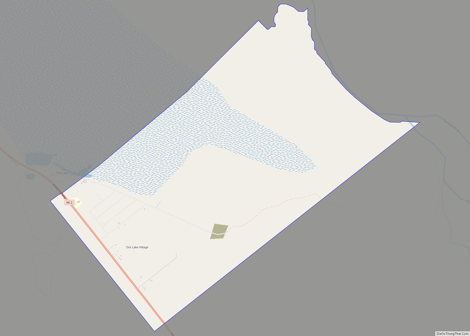
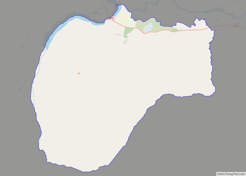
Tanacross (Taats’altęy in Tanacross Athabascan) is a census-designated place (CDP) in Southeast Fairbanks Census Area, Alaska, United States. At the 2010 census the population was 136, down from 140 in 2000. It hosts an air tanker base.
| Name: | Tanacross CDP |
|---|---|
| LSAD Code: | 57 |
| LSAD Description: | CDP (suffix) |
| State: | Alaska |
| County: | Southeast Fairbanks Census Area |
| Total Area: | 80.73 sq mi (209.10 km²) |
| Land Area: | 79.11 sq mi (204.89 km²) |
| Water Area: | 1.62 sq mi (4.21 km²) |
| Total Population: | 144 |
| Population Density: | 1.82/sq mi (0.70/km²) |
| ZIP code: | 99776 |
| Area code: | 907 |
| FIPS code: | 0275050 |
Online Interactive Map
Click on ![]() to view map in "full screen" mode.
to view map in "full screen" mode.
Tanacross location map. Where is Tanacross CDP?
History
Tanacross, initially founded as a telegraph station called Tanana Crossing (also known as St. Timothy’s). The name was shortened to Tanacross before 1940. The village was initially located on the north bank of the Tanana River. An airstrip was built on the south bank during the mid-1930s and upgraded for military use during World War II in 1941–42. Thousands of troops deployed through Tanacross during the period. The airfield was closed after the war. In 1972, the town itself relocated south across the river due to water contamination. In 1979, the old village burned due to an uncontrolled grass fire.
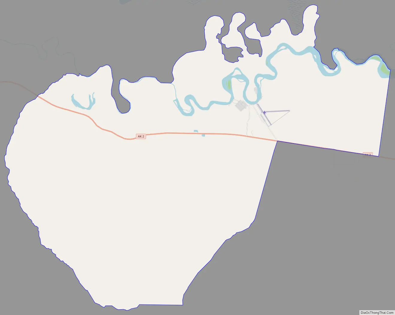
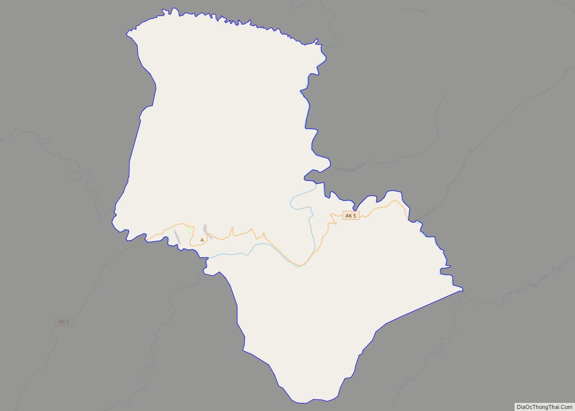
Tanacross Road Map
Tanacross city Satellite Map
Geography
Tanacross is located at 63°22′34″N 143°21′25″W / 63.37611°N 143.35694°W / 63.37611; -143.35694 (63.376206, -143.356991).
According to the United States Census Bureau, the CDP has a total area of 81.2 square miles (210 km), of which, 80.0 square miles (207 km) of it is land and 1.1 square miles (2.8 km) of it (1.38%) is water.
See also
Map of Alaska State and its subdivision:- Aleutians East
- Aleutians West
- Anchorage
- Bethel
- Bristol Bay
- Denali
- Dillingham
- Fairbanks North Star
- Haines
- Juneau
- Kenai Peninsula
- Ketchikan Gateway
- Kodiak Island
- Lake and Peninsula
- Matanuska-Susitna
- Nome
- North Slope
- Northwest Arctic
- Prince of Wales-Outer Ketchi
- Sitka
- Skagway-Yakutat-Angoon
- Southeast Fairbanks
- Valdez-Cordova
- Wade Hampton
- Wrangell-Petersburg
- Yukon-Koyukuk
- Alabama
- Alaska
- Arizona
- Arkansas
- California
- Colorado
- Connecticut
- Delaware
- District of Columbia
- Florida
- Georgia
- Hawaii
- Idaho
- Illinois
- Indiana
- Iowa
- Kansas
- Kentucky
- Louisiana
- Maine
- Maryland
- Massachusetts
- Michigan
- Minnesota
- Mississippi
- Missouri
- Montana
- Nebraska
- Nevada
- New Hampshire
- New Jersey
- New Mexico
- New York
- North Carolina
- North Dakota
- Ohio
- Oklahoma
- Oregon
- Pennsylvania
- Rhode Island
- South Carolina
- South Dakota
- Tennessee
- Texas
- Utah
- Vermont
- Virginia
- Washington
- West Virginia
- Wisconsin
- Wyoming

