Tetlin (Teełąy in Upper Tanana Athabascan) is a census-designated place (CDP) in Southeast Fairbanks Census Area, Alaska, United States. At the 2010 census the population was 127, up from 117 in 2000.
| Name: | Tetlin CDP |
|---|---|
| LSAD Code: | 57 |
| LSAD Description: | CDP (suffix) |
| State: | Alaska |
| County: | Southeast Fairbanks Census Area |
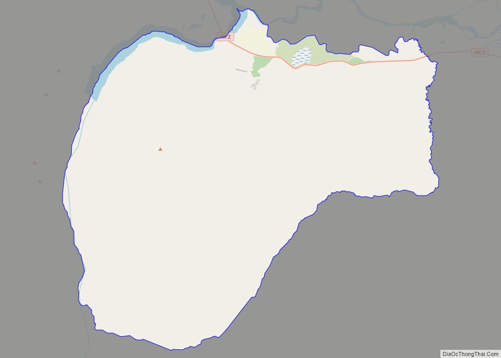
| Total Area: | 69.13 sq mi (179.04 km²) |
| Land Area: | 67.83 sq mi (175.68 km²) |
| Water Area: | 1.30 sq mi (3.36 km²) |
| Total Population: | 126 |
| Population Density: | 1.86/sq mi (0.72/km²) |
| Area code: | 907 |
| FIPS code: | 0276590 |
Online Interactive Map
Click on ![]() to view map in "full screen" mode.
to view map in "full screen" mode.
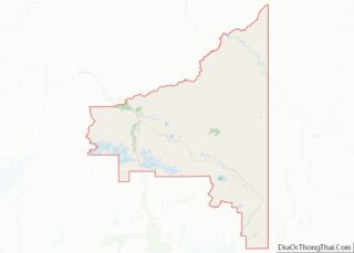
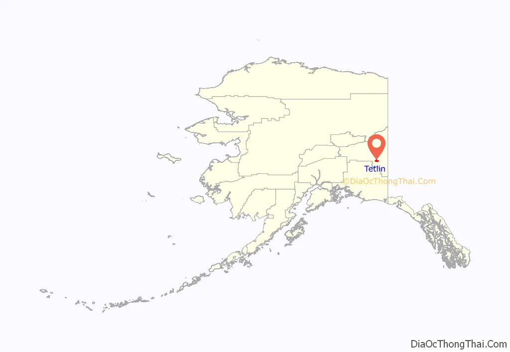
Tetlin location map. Where is Tetlin CDP?
History
The semi-nomadic Athabascan Indians have historically lived in this area, moving with the seasons between several hunting and fishing camps. In 1885, Lt.H.T. Allen found small groups of people living in Tetlin and Last Tetlin, to the south. The residents of Last Tetlin had made numerous to trading posts on the Yukon River. In 1912, the villagers from Tetlin would trade at the Tanana Crossing Trading Post. During the Chisana gold stampede in 1913, a trading post was established across the river from Tetlin. When two trading posts were opened in the village during the 1920s by John Hajdukovich and W.H. Newton, residents from Last Tetlin relocated to Tetlin. A school was constructed in 1929, and a post office was opened in 1932. The 786,000-acre (3,180 km) Tetlin Indian Reserve was established in 1930. An airstrip was constructed in 1946. When the Alaska Native Claims Settlement Act(ANCSA) was passed in 1971, the reserve was revoked. Tetlin opted for surface and subsurface title to the 743,000 acres (3,010 km) of land in the former Reserve.
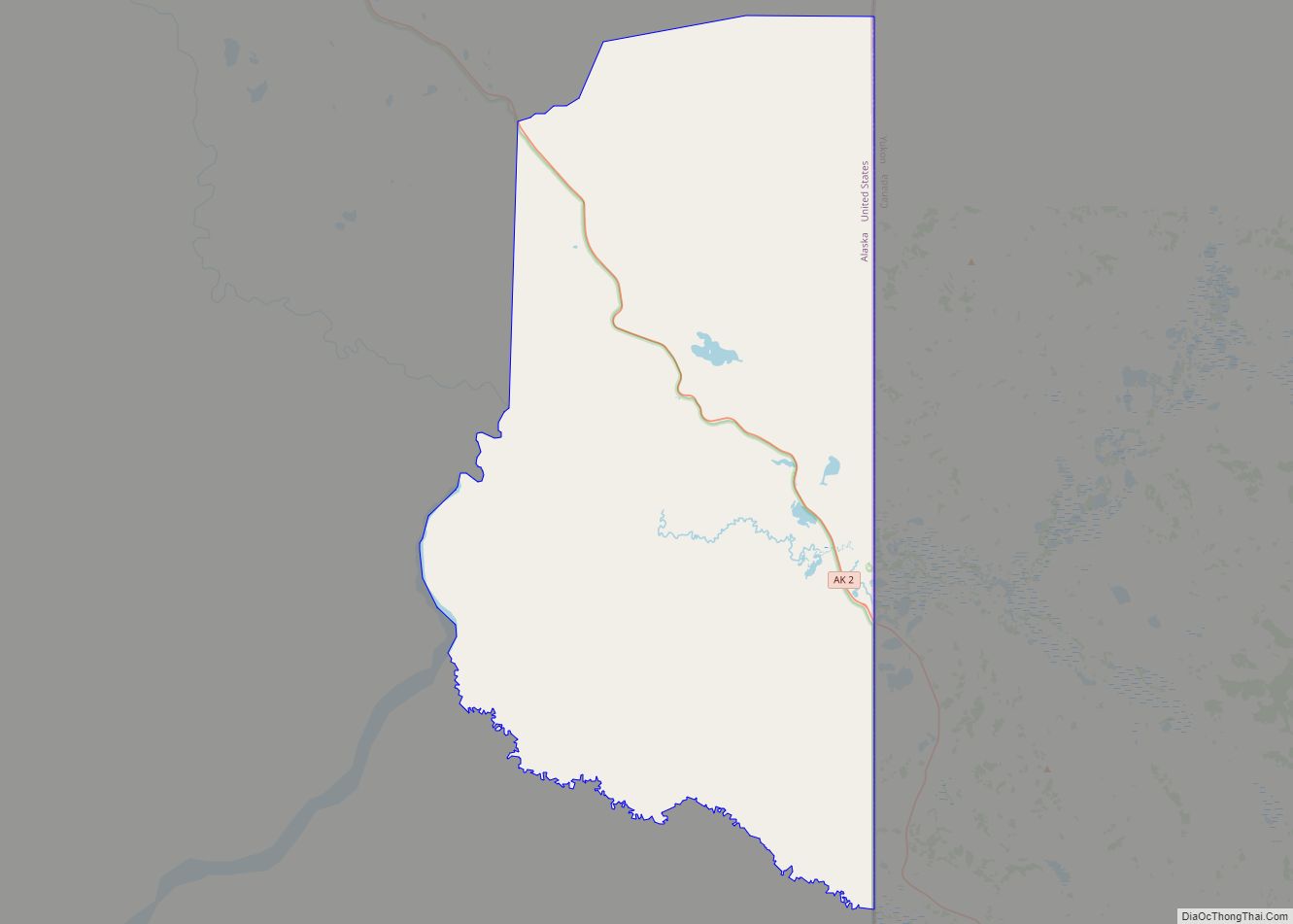
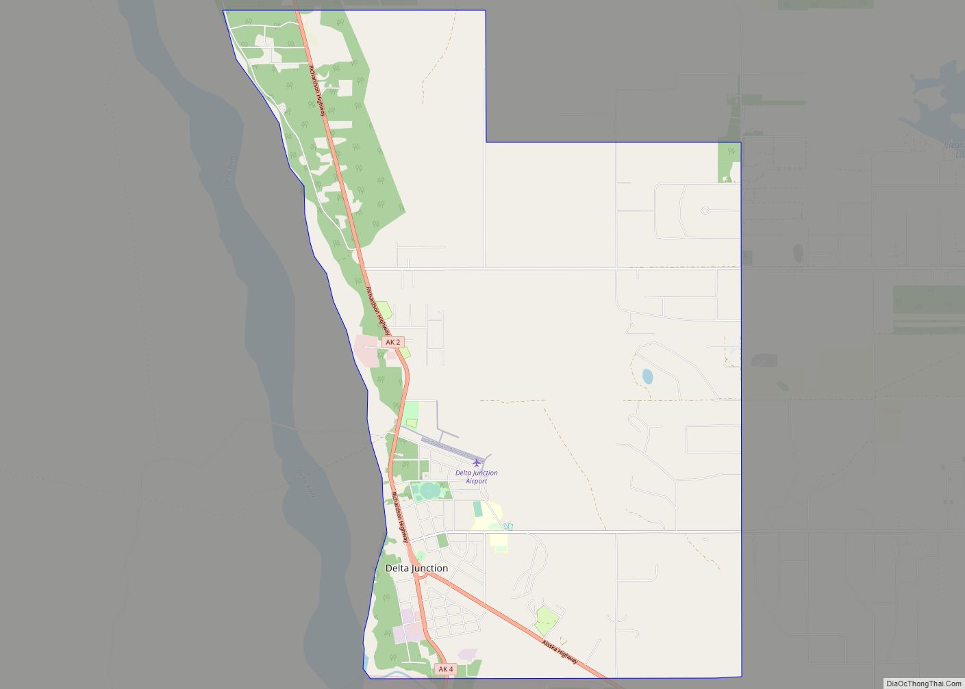
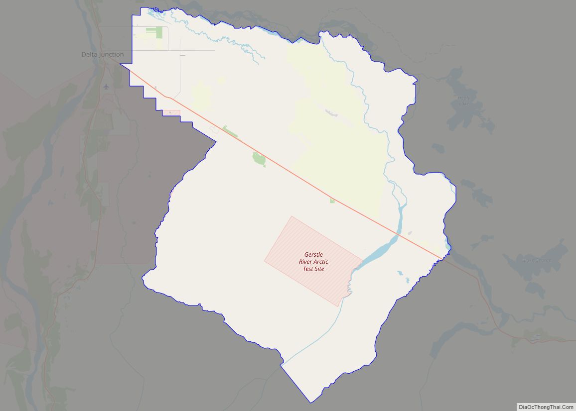
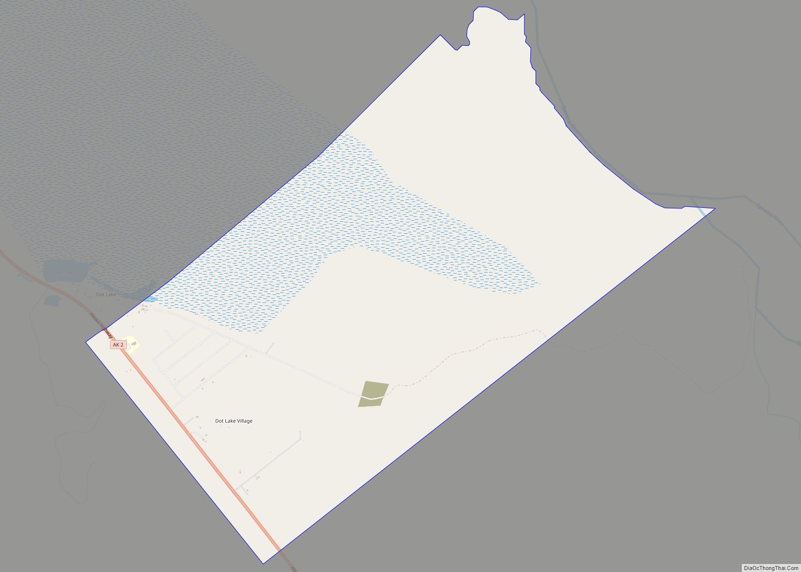
Tetlin Road Map
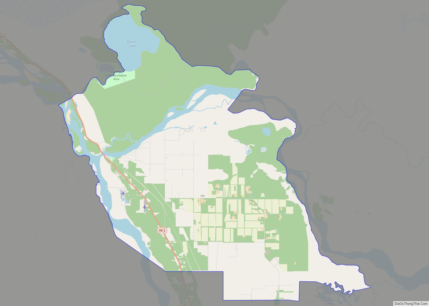
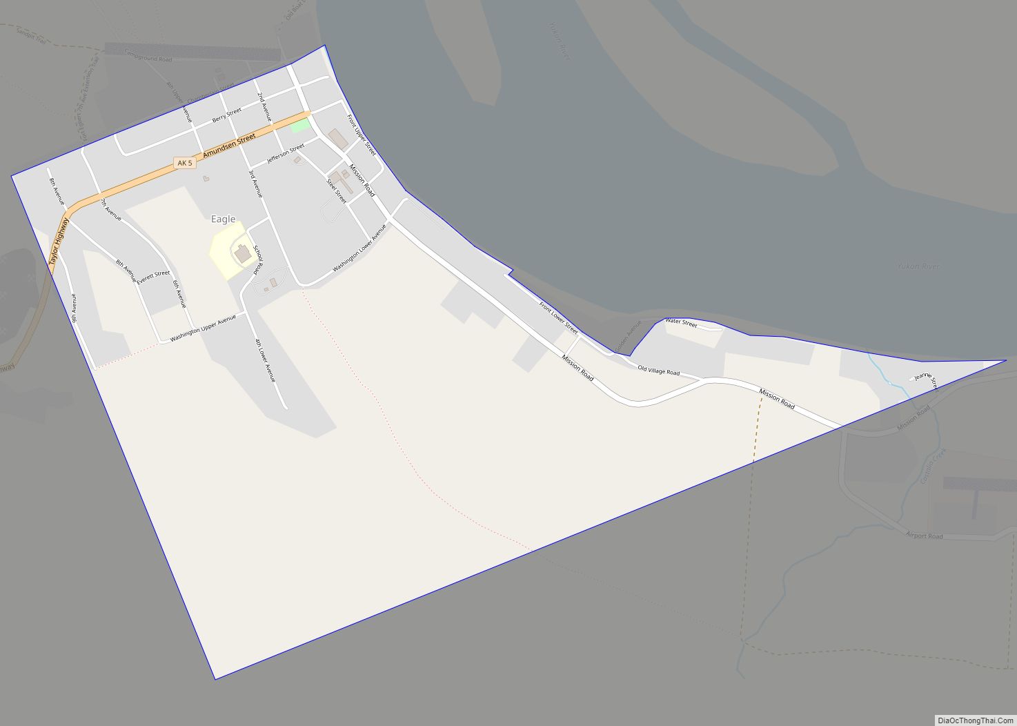
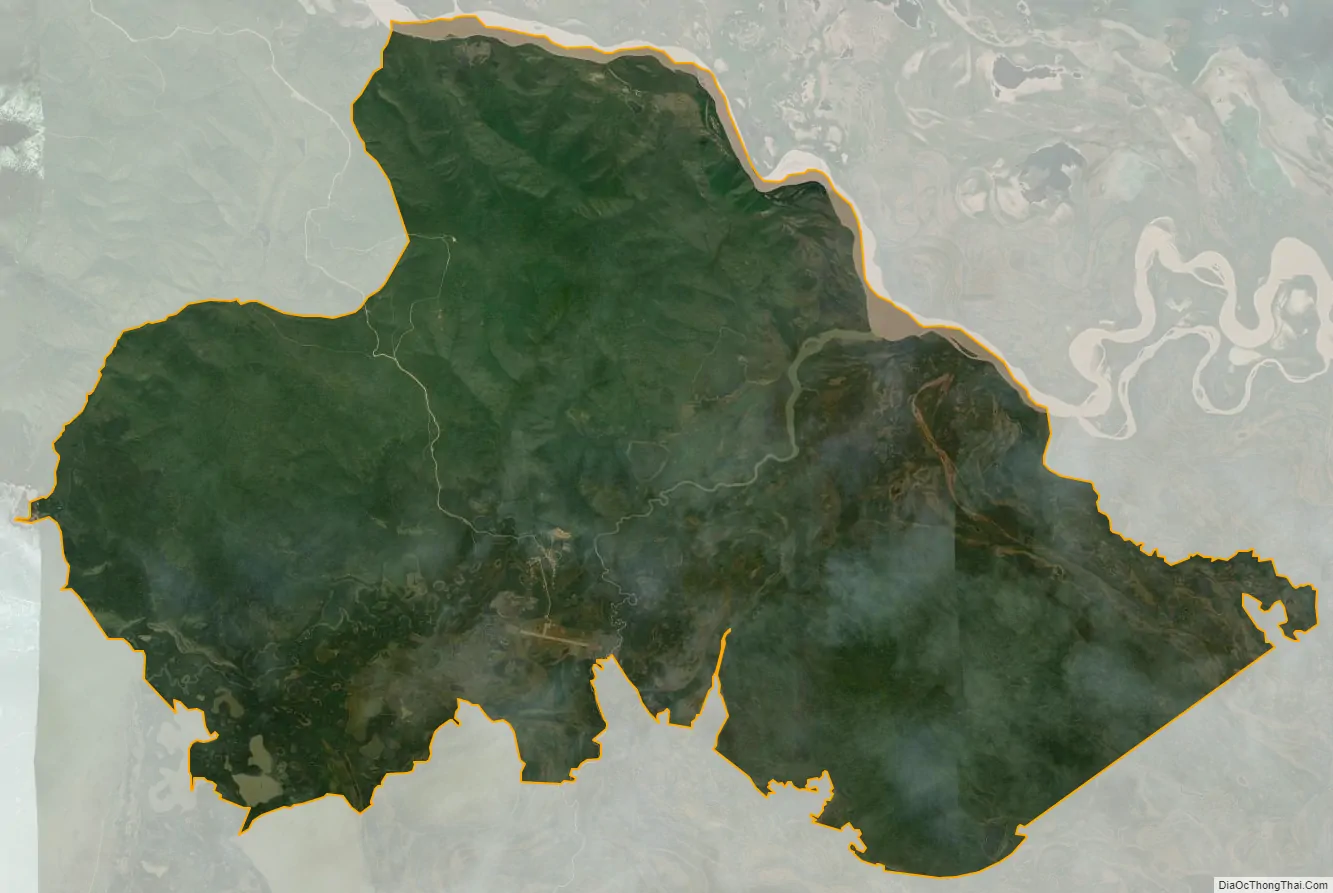
Tetlin city Satellite Map
Geography
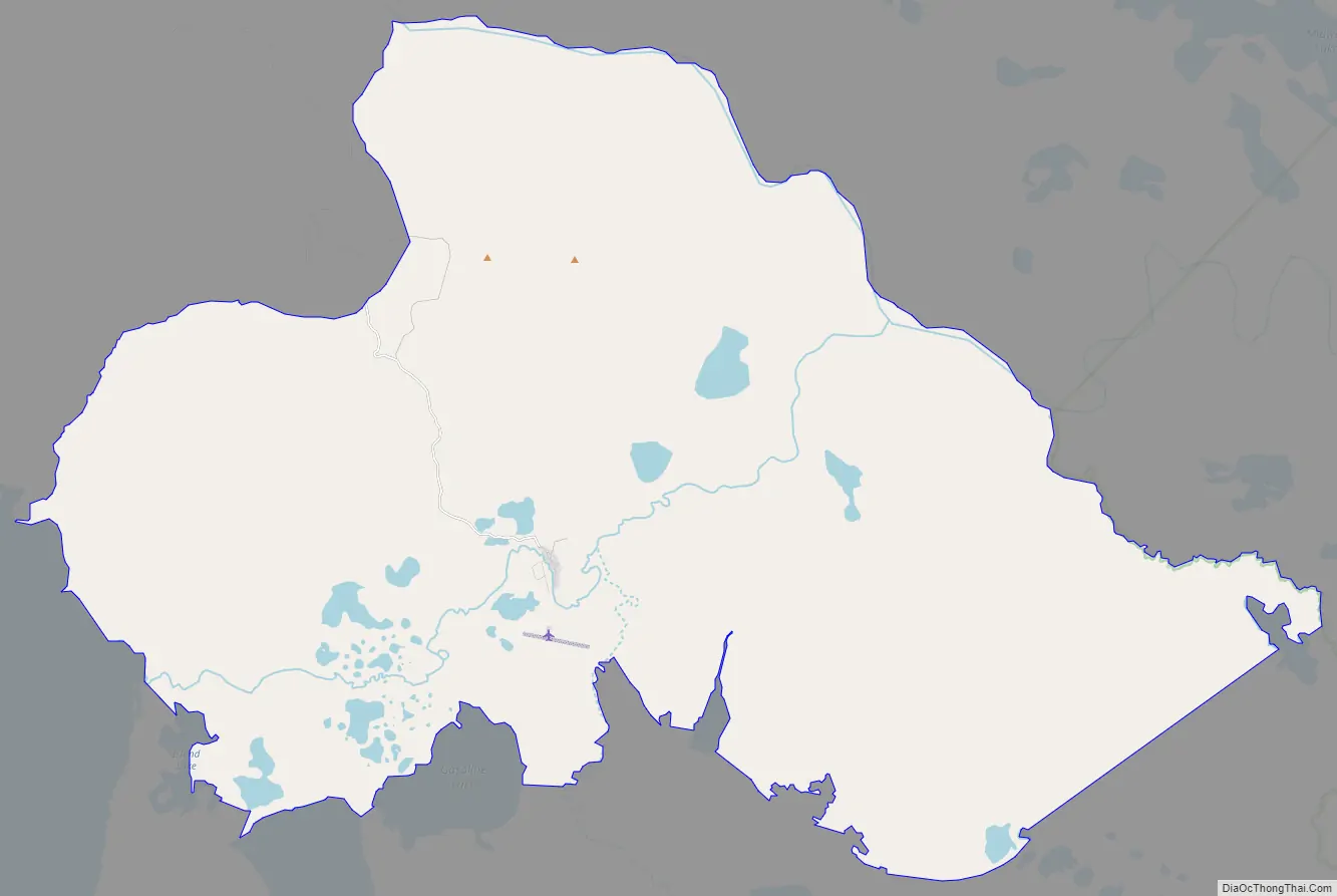
Tetlin is located at 63°8′16″N 142°31′28″W / 63.13778°N 142.52444°W / 63.13778; -142.52444 (63.137840, -142.524451). Tetlin is located along the Tetlin River, between Tetlin Lake and the Tanana River, about 20 miles (32 km) southeast of Tok. It lies in the Tetlin National Wildlife Refuge. The village is connected by a dirt road to the Alaska Highway. The community is located in the Fairbanks Recording District.
According to the United States Census Bureau, the CDP has a total area of 72.0 square miles (186 km), of which, 70.4 square miles (182 km) of it is land and 1.5 square miles (3.9 km) of it (2.14%) is water.
See also
Map of Alaska State and its subdivision:- Aleutians East
- Aleutians West
- Anchorage
- Bethel
- Bristol Bay
- Denali
- Dillingham
- Fairbanks North Star
- Haines
- Juneau
- Kenai Peninsula
- Ketchikan Gateway
- Kodiak Island
- Lake and Peninsula
- Matanuska-Susitna
- Nome
- North Slope
- Northwest Arctic
- Prince of Wales-Outer Ketchi
- Sitka
- Skagway-Yakutat-Angoon
- Southeast Fairbanks
- Valdez-Cordova
- Wade Hampton
- Wrangell-Petersburg
- Yukon-Koyukuk
- Alabama
- Alaska
- Arizona
- Arkansas
- California
- Colorado
- Connecticut
- Delaware
- District of Columbia
- Florida
- Georgia
- Hawaii
- Idaho
- Illinois
- Indiana
- Iowa
- Kansas
- Kentucky
- Louisiana
- Maine
- Maryland
- Massachusetts
- Michigan
- Minnesota
- Mississippi
- Missouri
- Montana
- Nebraska
- Nevada
- New Hampshire
- New Jersey
- New Mexico
- New York
- North Carolina
- North Dakota
- Ohio
- Oklahoma
- Oregon
- Pennsylvania
- Rhode Island
- South Carolina
- South Dakota
- Tennessee
- Texas
- Utah
- Vermont
- Virginia
- Washington
- West Virginia
- Wisconsin
- Wyoming