Whittier is a city at the head of the Passage Canal in the U.S. state of Alaska, about 58 miles (93 km) southeast of Anchorage. The city is within the Chugach Census Area, one of the two entities established in 2019 when the former Valdez–Cordova Census Area was dissolved. It is also a port for the Alaska Marine Highway. The population was 272 at the 2020 census, having increased from 220 in 2010. The city is notable for the fact that almost all of its residents live in the Begich Towers Condominium, earning it the nickname of a “town under one roof”.
| Name: | Whittier city |
|---|---|
| LSAD Code: | 25 |
| LSAD Description: | city (suffix) |
| State: | Alaska |
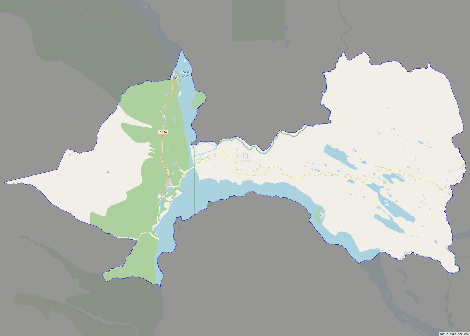
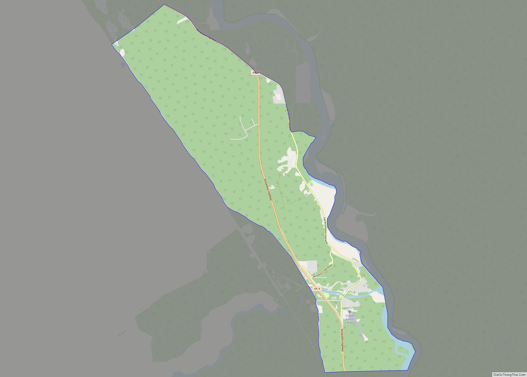
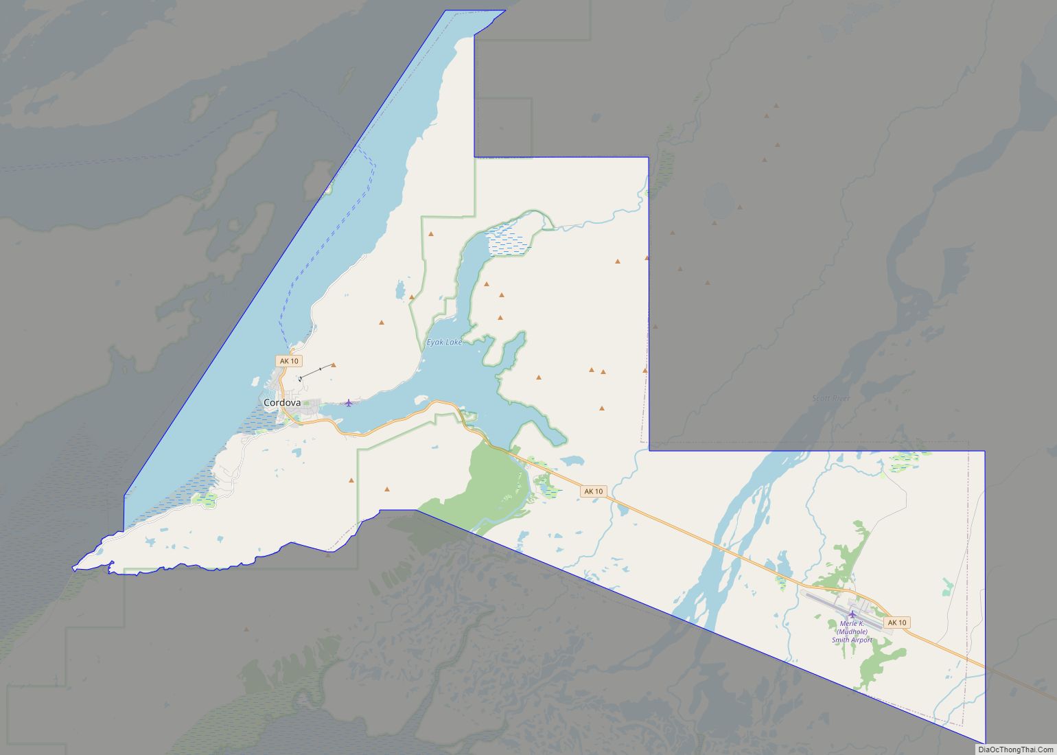
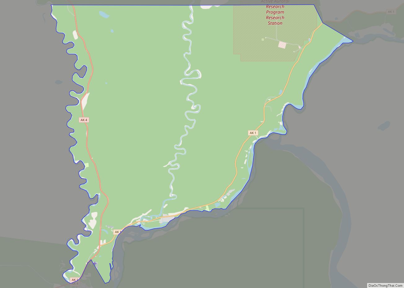
| County: | Valdez-Cordova Census Area |
| Incorporated: | July 15, 1969 |
| Elevation: | 43 ft (13 m) |
| Total Area: | 19.64 sq mi (50.86 km²) |
| Land Area: | 12.25 sq mi (31.73 km²) |
| Water Area: | 7.39 sq mi (19.13 km²) |
| Total Population: | 272 |
| Population Density: | 22.20/sq mi (8.57/km²) |
| ZIP code: | 99693 |
| Area code: | 907 |
| FIPS code: | 0284510 |
| GNISfeature ID: | 1415757 |
| Website: | www.whittieralaska.gov |
Online Interactive Map
Click on ![]() to view map in "full screen" mode.
to view map in "full screen" mode.
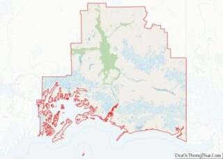
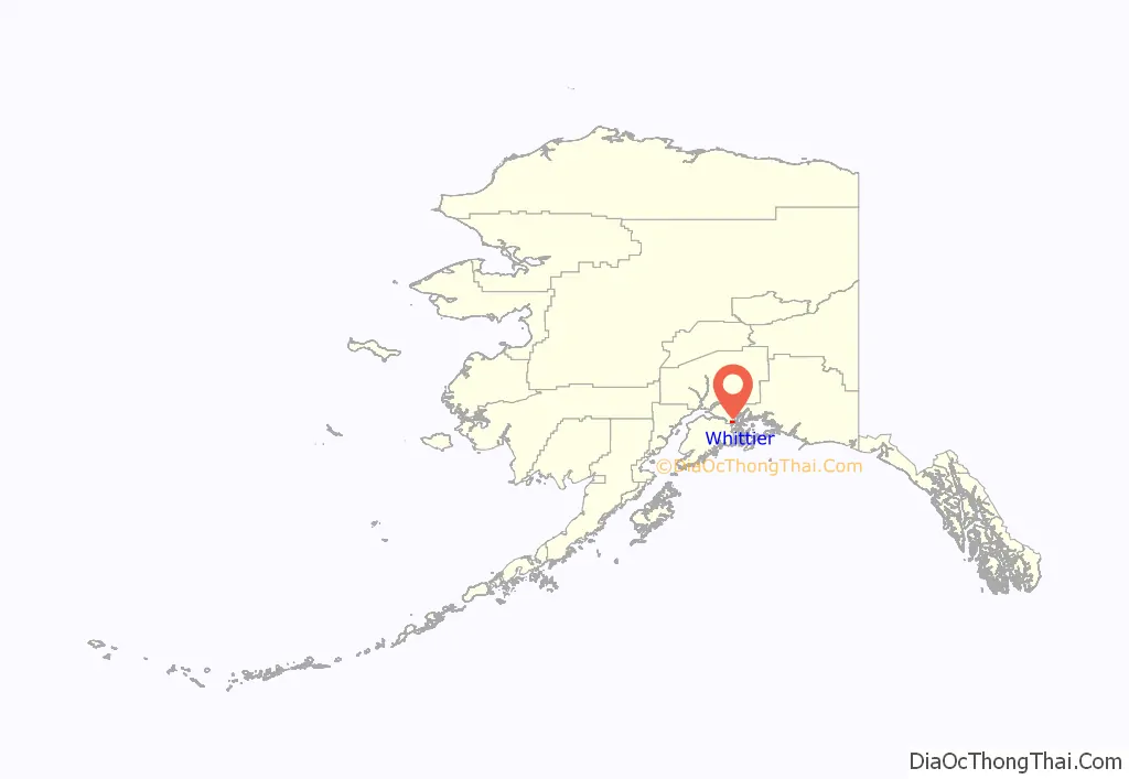
Whittier location map. Where is Whittier city?
History
The region occupied by Whittier was once part of the portage route of the Chugach people native to Prince William Sound. Later, the passage was used by Russian and American explorers, and by prospecting miners during the Klondike Gold Rush. The nearby Whittier Glacier was named for American poet John Greenleaf Whittier in 1915, and the town eventually took the name as well.
During World War II, the United States Army constructed a military facility, complete with port and railroad, near Whittier Glacier and named the facility Camp Sullivan. The spur of the Alaska Railroad to Camp Sullivan was completed in 1943, and the port became the entrance for United States soldiers into Alaska.
The two buildings that dominate the town were built after World War II. The 14-story Hodge Building (renamed Begich Towers) was completed in 1957 and contains 150 two-and-three-bedroom apartments plus bachelor efficiency units. Dependent families and Civil Service employees were moved into this high-rise. The Whittier School was connected by a tunnel at the base of the west tower so students could safely access school on days with bad weather. The building was named in honor of Colonel Walter William Hodge, who was a civil engineer and the commanding officer of 93rd Engineer Regiment on the Alcan Highway.
The other main structure in town, the Buckner Building, was completed in 1953, and was called the “city under one roof”. The Buckner Building was eventually abandoned. Buckner and Begich Towers were at one time the largest buildings in Alaska. The Begich Towers building became a condominium, and along with the two-story private residence known as Whittier Manor, houses a majority of the town’s residents.
The port at Whittier was an active Army facility until 1960. In 1962, the U.S. Army Corps of Engineers constructed a petroleum products terminal, a pumping station and a 62-mile-long (100 km), 8-inch (200 mm) pipeline to Anchorage in Whittier.
On March 27, 1964, Whittier suffered over $10 million worth of damage in what became known as the Good Friday earthquake. As of 2022, the earthquake remains the largest U.S. earthquake, measuring 9.2 on the moment magnitude scale, and having caused tsunamis along the West Coast of the U.S. The tsunami that hit Whittier reached a height of 13 m (43 ft) and killed 13 people.
Whittier was incorporated in 1969 and eventually became a port of call for cruise ships. It is utilized by local operations and about 100-passenger mid-sized cruise ships. When the Anton Anderson Memorial Tunnel opened to public access in 2000, it became the first highway to connect Whittier to Anchorage and inner Alaska—previously, the only ways to reach the town had been rail, boat and plane.
After the tunnel expanded access to Whittier, it began to be visited by larger cruise lines. It is the embarkation/debarkation point of one-way cruises from Anchorage to Vancouver by Princess Tours. Whittier is also popular with tourists, photographers, outdoor enthusiasts, paddlers, hikers, sport fishermen, and hunters because of its abundance of wildlife and natural beauty. Whittier is located within the Chugach National Forest, the second-largest national forest in the U.S.
Whittier is in the Chugach School District and has one school serving approximately 48 students from preschool through high school, according to the 2019–2020 enrollment numbers.
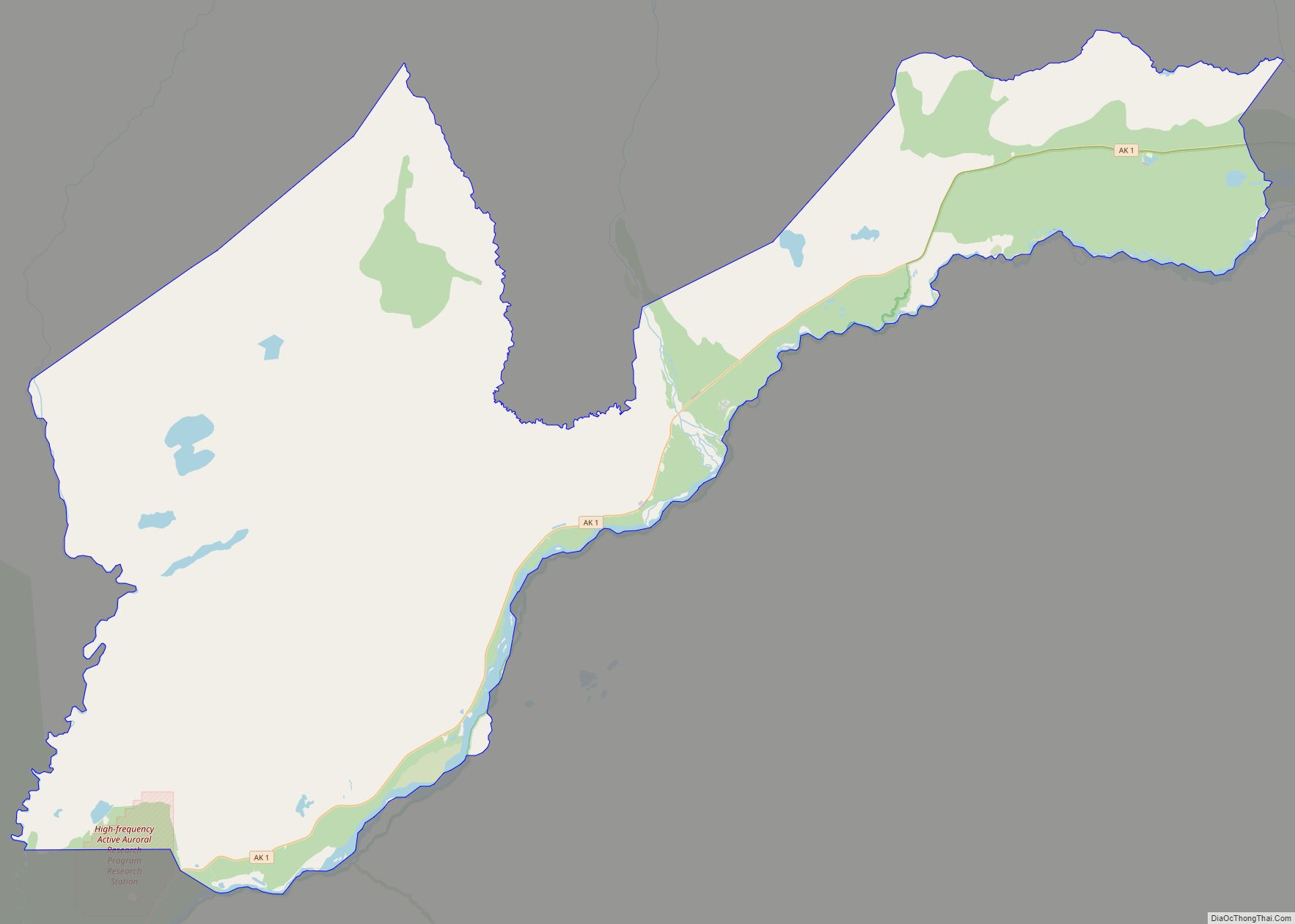
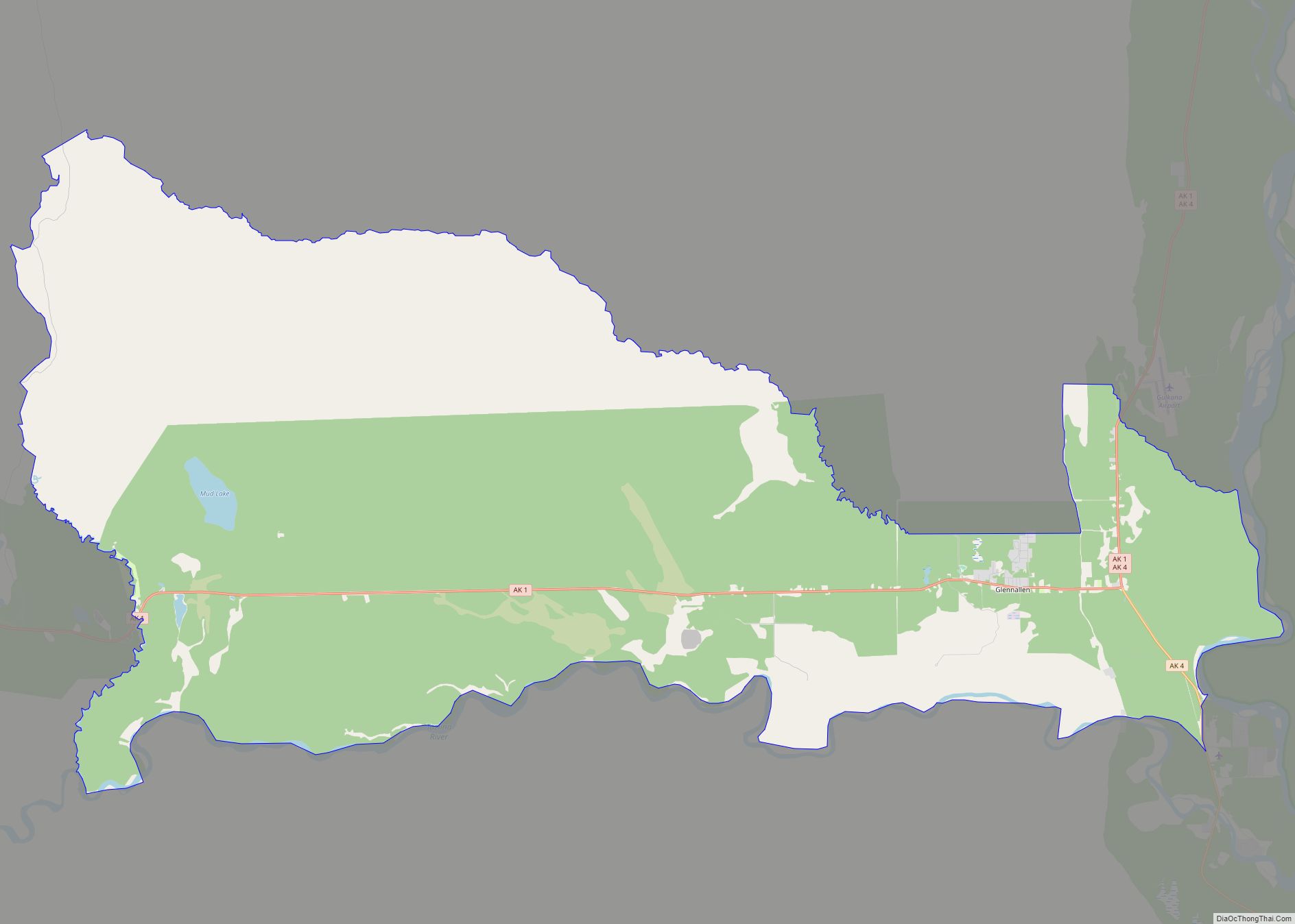
Whittier Road Map
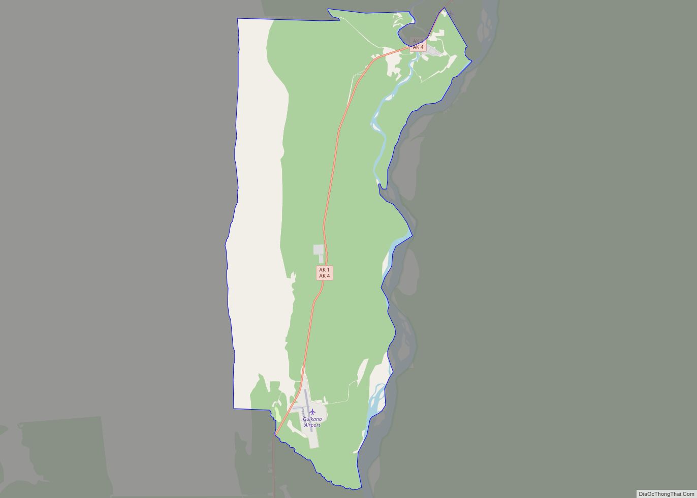
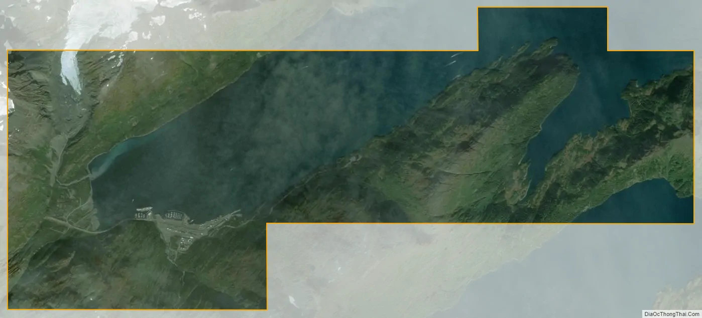
Whittier city Satellite Map
Geography
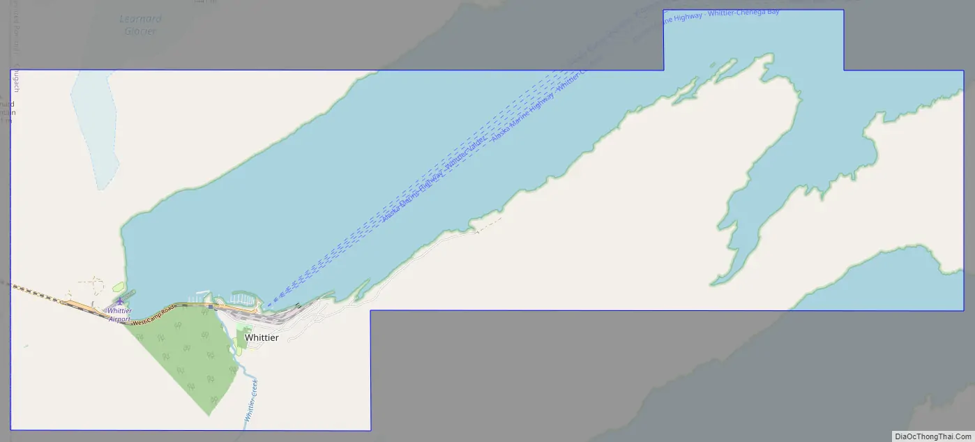
The only land access is through the Anton Anderson Memorial Tunnel, a mixed-use road and rail tunnel. The town is on the northeast shore of the Kenai Peninsula, at the head of Passage Canal, on the west side of Prince William Sound. It is 58 miles (93 kilometers) southeast of Anchorage.
According to the United States Census Bureau, the city has a total area of 19.7 square miles (51 km), of which, 12.5 square miles (32 km) of it is land and 7.2 square miles (19 km) of it (36.36%) is water.
Climate
Whittier has a subpolar oceanic climate (Cfc) using the −3 °C isotherm and a subarctic climate (Dfc) using the 0 °C isotherm under the Köppen climate classification, and has an annual precipitation of 197.8 inches (5,024 mm). It is the wettest city in Alaska and the United States, receiving significantly more annual precipitation than Yakutat and Ketchikan which are the second- and third-wettest cities in Alaska, respectively. Whittier is located at the northern tip of the world’s northernmost temperate rainforest, the Tongass.
See also
Map of Alaska State and its subdivision:- Aleutians East
- Aleutians West
- Anchorage
- Bethel
- Bristol Bay
- Denali
- Dillingham
- Fairbanks North Star
- Haines
- Juneau
- Kenai Peninsula
- Ketchikan Gateway
- Kodiak Island
- Lake and Peninsula
- Matanuska-Susitna
- Nome
- North Slope
- Northwest Arctic
- Prince of Wales-Outer Ketchi
- Sitka
- Skagway-Yakutat-Angoon
- Southeast Fairbanks
- Valdez-Cordova
- Wade Hampton
- Wrangell-Petersburg
- Yukon-Koyukuk
- Alabama
- Alaska
- Arizona
- Arkansas
- California
- Colorado
- Connecticut
- Delaware
- District of Columbia
- Florida
- Georgia
- Hawaii
- Idaho
- Illinois
- Indiana
- Iowa
- Kansas
- Kentucky
- Louisiana
- Maine
- Maryland
- Massachusetts
- Michigan
- Minnesota
- Mississippi
- Missouri
- Montana
- Nebraska
- Nevada
- New Hampshire
- New Jersey
- New Mexico
- New York
- North Carolina
- North Dakota
- Ohio
- Oklahoma
- Oregon
- Pennsylvania
- Rhode Island
- South Carolina
- South Dakota
- Tennessee
- Texas
- Utah
- Vermont
- Virginia
- Washington
- West Virginia
- Wisconsin
- Wyoming