Arizona City is a census-designated place (CDP) in southwestern Pinal County, Arizona, United States. It is located near the junction of Interstate 8 and Interstate 10 at the midpoint between Phoenix and Tucson, approximately 60 miles (97 km) from the downtown of both cities. The population was 10,475 as of the 2010 U.S. Census. It is estimated to be approximately 11,030 as of a 2017 U.S. Census estimate. Arizona City is a rural, primarily residential community that features a 48-acre (19 ha) man-made lake. These attributes make the community a popular snowbird destination, with the population increasing by as much as 5,000 people in the winter months to reach the census figure of 11,030.
It is not to be confused with the Arizona City that became the city of Yuma.
| Name: | Arizona City CDP |
|---|---|
| LSAD Code: | 57 |
| LSAD Description: | CDP (suffix) |
| State: | Arizona |
| County: | Pinal County |
| Elevation: | 1,509 ft (460 m) |
| Total Area: | 6.21 sq mi (16.08 km²) |
| Land Area: | 6.13 sq mi (15.88 km²) |
| Water Area: | 0.08 sq mi (0.20 km²) |
| Total Population: | 9,868 |
| Population Density: | 1,609.00/sq mi (621.23/km²) |
| ZIP code: | 85123 |
| Area code: | 520 |
| FIPS code: | 0403530 |
| GNISfeature ID: | 0000770 |
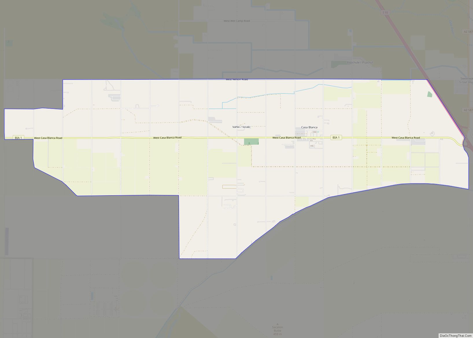
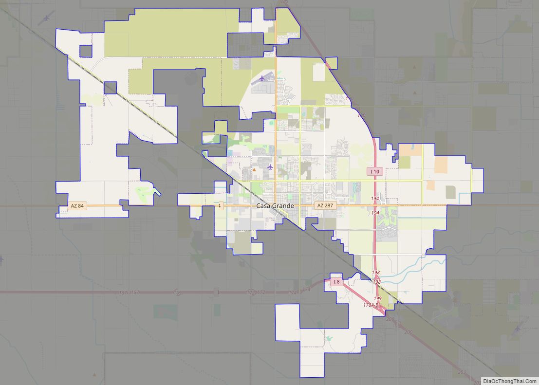
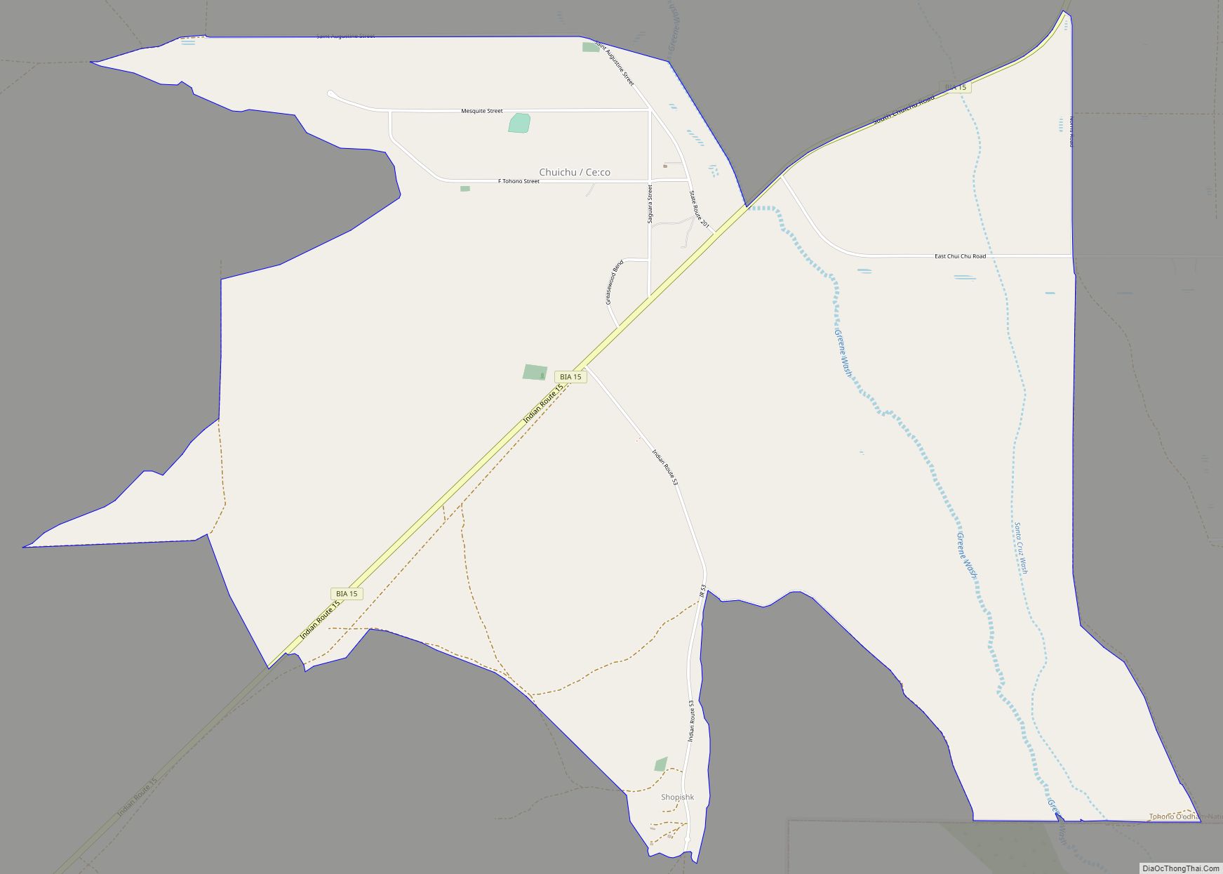
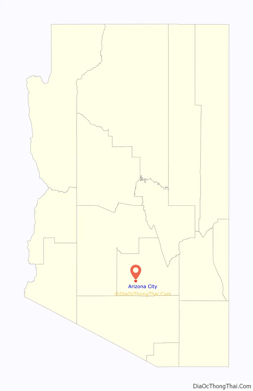
Online Interactive Map
Click on ![]() to view map in "full screen" mode.
to view map in "full screen" mode.
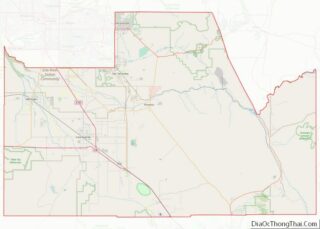
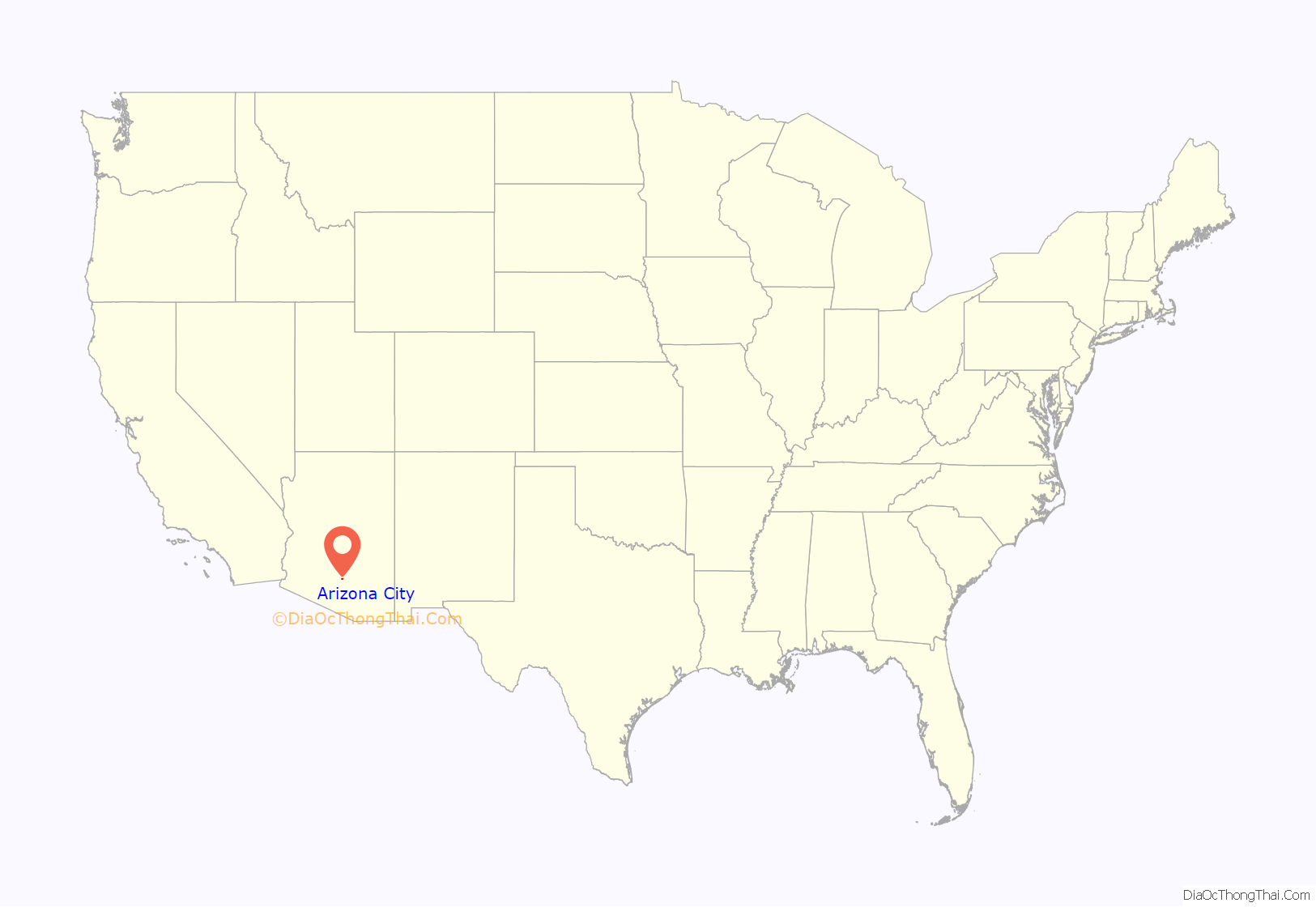
Arizona City location map. Where is Arizona City CDP?
History
The area around what is now known as Arizona City was used as a resting area for Juan Bautista de Anza’s expedition party after they emerged from Apache land in 1775. The area is considered an official part of the Juan Bautista de Anza National Historic Trail. This historic trail begins in Sonora, Mexico, and ends at the Presidio in San Francisco, California.
The census-designated place was founded in 1959 when Jack McRae, president of the Arizona City Development Corporation, purchased and developed 2.5 acres (1.0 hectare) of land in the Santa Cruz Valley in the area that would eventually grow to become the 6.2 square-mile modern day townsite. The location was selected because of the abundance of deep water from the Santa Cruz River found in the valley. At the time, the water was considered some of the purest in Arizona; every 14 days samples were sent to the state Health Department and would come back consistently rated 100% pure. As the community grew, a United States Post Office was established on April 1, 1962, and Arizona City began appearing on Rand McNally road atlases in 1963. It is uncertain how the name of the community was chosen.
From time to time, most recently in 2007, attempts have been made to incorporate as a municipality, but they have so far always been defeated at the ballot box, except for the first effort in the early 1980s, which succeeded at the ballot box but was overturned in court because there were not enough residents at that time to incorporate.
The area in and around Arizona City contained several of the 272 concrete Corona Satellite Calibration Targets, which were used to calibrate cameras on the satellites in the Corona Satellite Program that lasted from 1959 to 1972. These satellites were used for espionage on the Soviet Union (USSR) and China during the Cold War. Many of these have since been removed, but one still exists at the corner of West Alsdorf Road and South Sunland Gin Road in the center of the community.
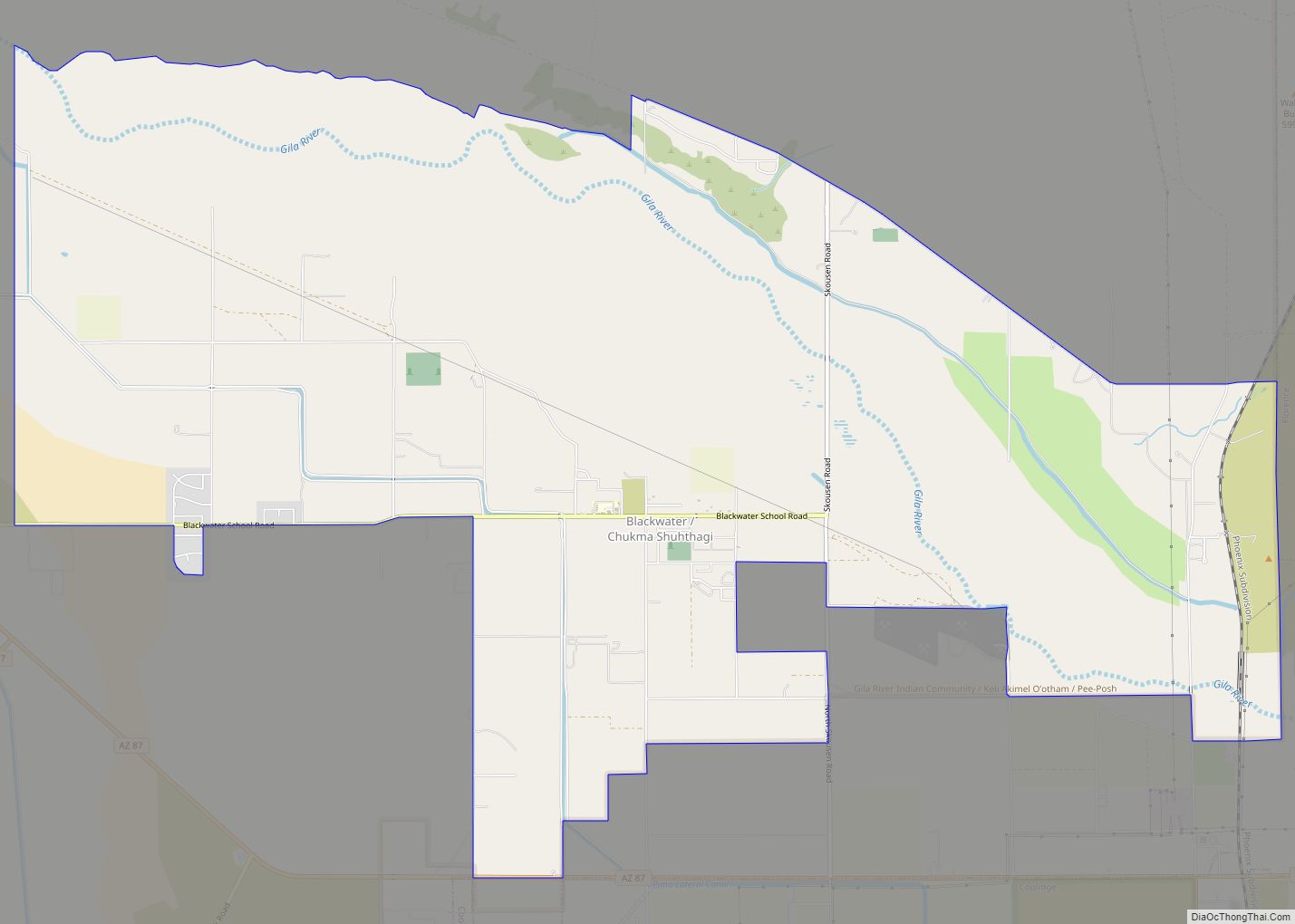
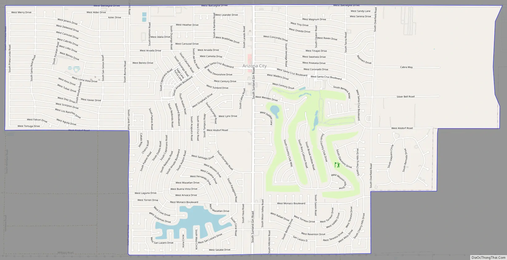
Arizona City Road Map
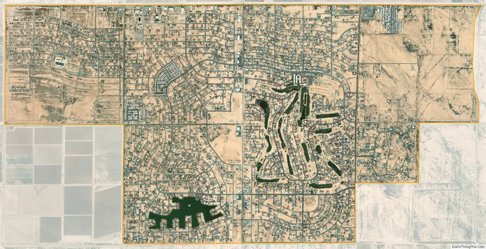
Arizona City city Satellite Map
Geography
Arizona City is located at 32°45′6″N 111°40′45″W / 32.75167°N 111.67917°W / 32.75167; -111.67917 (32.751641, −111.679283). According to the United States Census Bureau, the CDP has a total area of 6.2 square miles (16 km), of which 6.1 square miles (16 km) is land and 0.1 square miles (0.26 km) (1.29%) is water.
The CDP is approximately 1,509 feet (460 m) above sea level and located in an area of Pinal County known as the Santa Cruz Flats. According to the Arizona Geological Survey, the valley floor surrounding Arizona City and nearby Eloy has lowered by more than 20 feet (6.1 m) in the past 50 years due to rapid depletion of the groundwater aquifers underneath the region. In 2017, a new earth fissure approximately 1.8 miles (2.9 km) long and 30 feet (9.1 m) wide opened up just south of Arizona City, another consequence caused by the rapid consumption of groundwater.
Arizona City itself is mostly flat, lying in the Santa Cruz Valley in the center of three low mountain ranges; the Sawtooth Mountains to the south, the Picacho Mountains to the east, and the Casa Grande Mountains to the north. Picacho Peak, a prominent peak with a summit elevation of 3,374 feet (1,028 m), is located approximately 20 miles (32 km) to the southeast adjacent to Interstate 10. Directly to the west of the CDP is the expansive Tohono O’odham Indian Reservation, which stretches 80 miles (130 km) south to the international border with Mexico.
See also
Map of Arizona State and its subdivision: Map of other states:- Alabama
- Alaska
- Arizona
- Arkansas
- California
- Colorado
- Connecticut
- Delaware
- District of Columbia
- Florida
- Georgia
- Hawaii
- Idaho
- Illinois
- Indiana
- Iowa
- Kansas
- Kentucky
- Louisiana
- Maine
- Maryland
- Massachusetts
- Michigan
- Minnesota
- Mississippi
- Missouri
- Montana
- Nebraska
- Nevada
- New Hampshire
- New Jersey
- New Mexico
- New York
- North Carolina
- North Dakota
- Ohio
- Oklahoma
- Oregon
- Pennsylvania
- Rhode Island
- South Carolina
- South Dakota
- Tennessee
- Texas
- Utah
- Vermont
- Virginia
- Washington
- West Virginia
- Wisconsin
- Wyoming