Arizona Village is a census-designated place (CDP) on the Fort Mojave Indian Reservation in Mohave County, Arizona, United States. The population was 1,057 at the 2020 census, up from 946 in 2010 and 351 in 2000.
| Name: | Arizona Village CDP |
|---|---|
| LSAD Code: | 57 |
| LSAD Description: | CDP (suffix) |
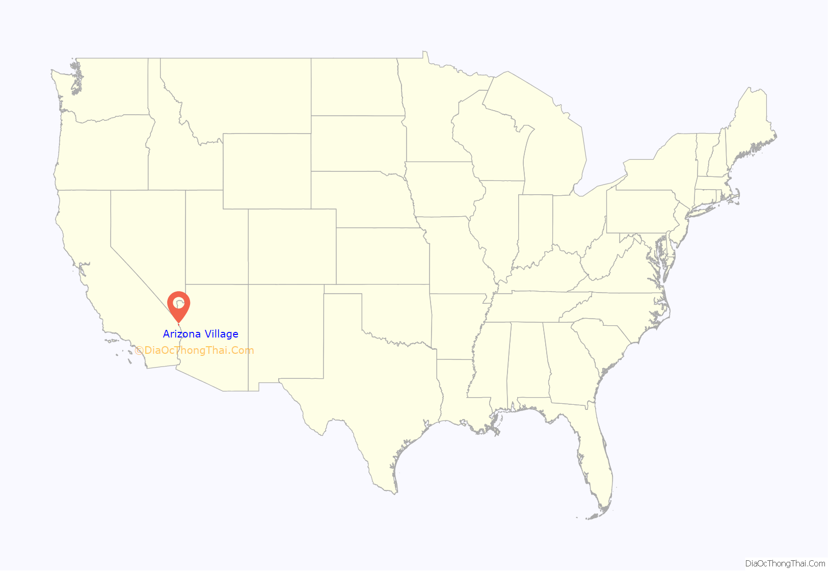
| State: | Arizona |
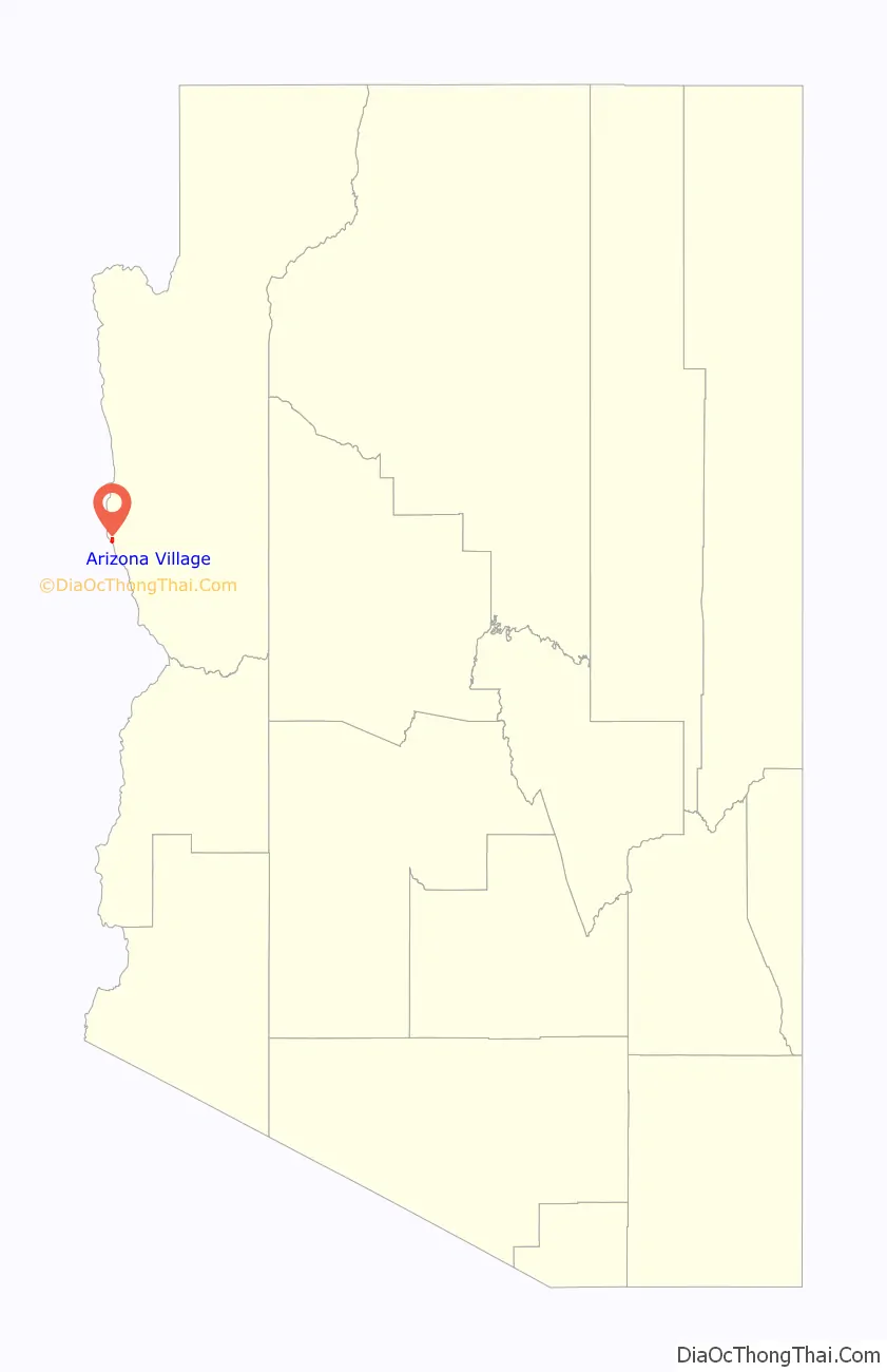
| County: | Mohave County |
| Elevation: | 463 ft (141 m) |
| Total Area: | 1.59 sq mi (4.12 km²) |
| Land Area: | 1.59 sq mi (4.12 km²) |
| Water Area: | 0.00 sq mi (0.00 km²) |
| Total Population: | 1,057 |
| Population Density: | 664.78/sq mi (256.64/km²) |
| ZIP code: | 86440 |
| Area code: | 928 |
| FIPS code: | 0403915 |
| GNISfeature ID: | 1853155 |
Online Interactive Map
Click on ![]() to view map in "full screen" mode.
to view map in "full screen" mode.
Arizona Village location map. Where is Arizona Village CDP?
Arizona Village Road Map
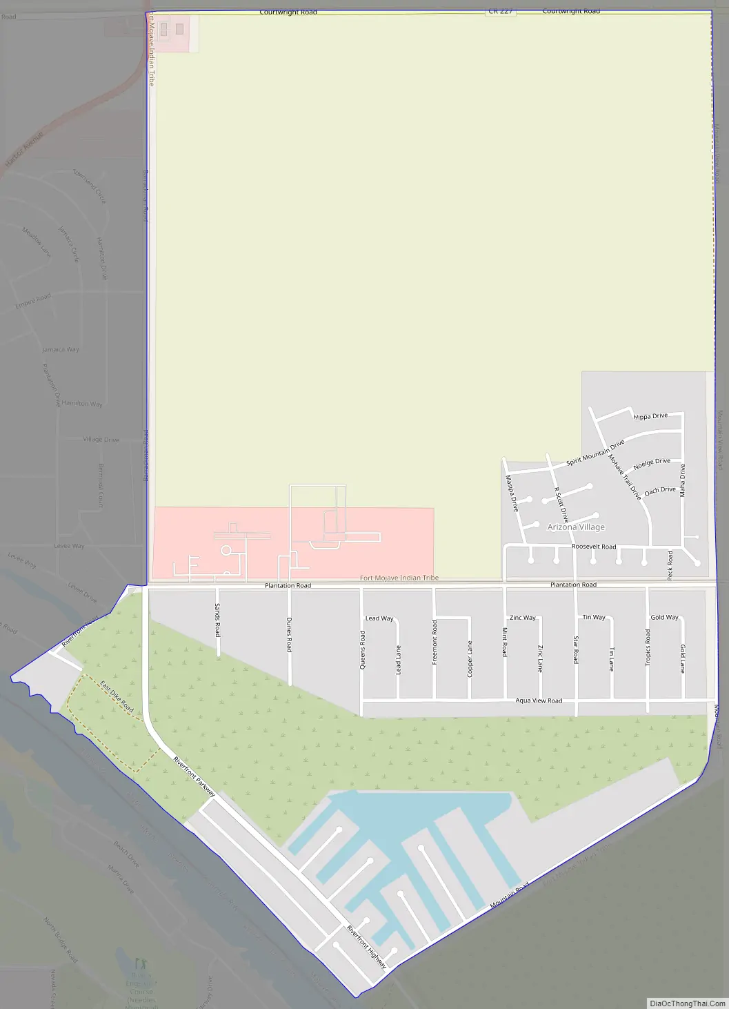
Arizona Village city Satellite Map

Geography
Arizona Village is located in western Mohave County at 34°51′13″N 114°35′3″W / 34.85361°N 114.58417°W / 34.85361; -114.58417 (34.853606, -114.584038). It is bordered to the southwest by the Colorado River, across which is the city of Needles, California. To the north the village is bordered by the Mohave Valley CDP. Arizona State Route 95 touches the northwest corner of Arizona Village, leading southwest across the Colorado into Needles and north 20 miles (32 km) to Bullhead City.
According to the United States Census Bureau, the Arizona Village CDP has a total area of 1.6 square miles (4.1 km), all land.
See also
Map of Arizona State and its subdivision: Map of other states:- Alabama
- Alaska
- Arizona
- Arkansas
- California
- Colorado
- Connecticut
- Delaware
- District of Columbia
- Florida
- Georgia
- Hawaii
- Idaho
- Illinois
- Indiana
- Iowa
- Kansas
- Kentucky
- Louisiana
- Maine
- Maryland
- Massachusetts
- Michigan
- Minnesota
- Mississippi
- Missouri
- Montana
- Nebraska
- Nevada
- New Hampshire
- New Jersey
- New Mexico
- New York
- North Carolina
- North Dakota
- Ohio
- Oklahoma
- Oregon
- Pennsylvania
- Rhode Island
- South Carolina
- South Dakota
- Tennessee
- Texas
- Utah
- Vermont
- Virginia
- Washington
- West Virginia
- Wisconsin
- Wyoming


