Needles is a city in San Bernardino County, California, in the Mojave Desert region of Southern California. Situated on the western banks of the Colorado River, Needles is located near the California border with Arizona and Nevada. The city is accessible via Interstate 40 and U.S. Route 95. The population was 4,959 at the 2020 census, up from 4,844 at the 2010 census.
| Name: | Needles city |
|---|---|
| LSAD Code: | 25 |
| LSAD Description: | city (suffix) |
| State: | California |
| County: | San Bernardino County |
| Incorporated: | October 30, 1913 |
| Elevation: | 495 ft (151 m) |
| Total Area: | 31.08 sq mi (80.49 km²) |
| Land Area: | 30.58 sq mi (79.20 km²) |
| Water Area: | 0.50 sq mi (1.29 km²) 1.49% |
| Total Population: | 4,959 |
| Population Density: | 162.73/sq mi (62.83/km²) |
| ZIP code: | 92363 |
| FIPS code: | 0650734 |
| Website: | www.cityofneedles.com |
Online Interactive Map
Click on ![]() to view map in "full screen" mode.
to view map in "full screen" mode.
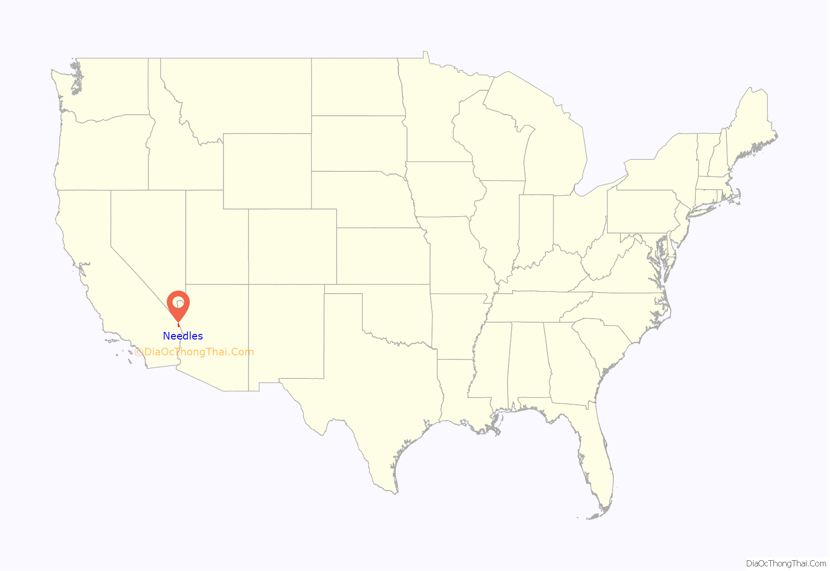
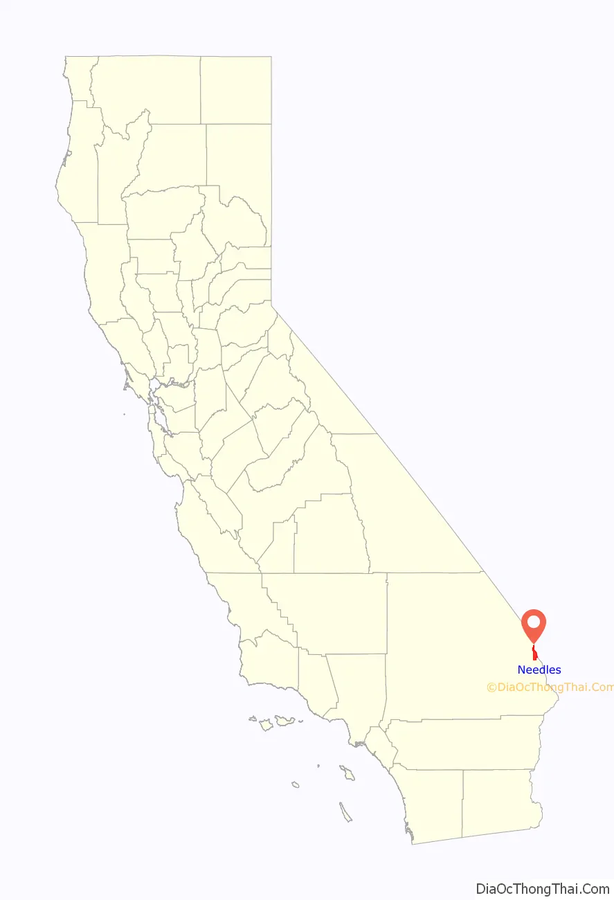
Needles location map. Where is Needles city?
History
Needles was founded in May 1883 during the construction of the Atchison, Topeka and Santa Fe Railway, which originally crossed the Colorado River at Eastbridge, Arizona three miles southeast of modern Needles. Needles was named after “The Needles”, a group of pinnacles in the Mohave Mountains on the Arizona side of the river. The crossing was a poor site for a bridge, lacking firm banks and a solid bottom.
A bridge was actually built, but it was of poor quality. Not only was it a “flimsy looking structure”, but it was an obstacle to navigation on the river. The flooding of the Colorado River destroyed the bridge three times – in 1884, 1886 and 1888. The railway built Red Rock Bridge, a high cantilever bridge, at a narrower point with solid rock footings ten miles downstream near today’s Topock. The bridge was completed in May 1890, and the old bridge was dismantled.
At first simply a tent town for railroad construction crews, the railway would eventually build a hotel, car sheds, shops and a roundhouse. Within only a month, Needles would have a Chinese laundry, a newsstand, a restaurant, several general stores, and about nine or ten saloons. Needles quickly became the largest port on the river above Yuma, Arizona. The railway and the Fred Harvey Company built the elegant Neoclassical and Beaux-Arts style El Garces Hotel and Santa Fe Station in 1908, which was considered the “crown jewel” of the entire Fred Harvey chain. The landmark building is on the National Register of Historic Places and is being restored.
Needles was a major stop on the historic U.S. Route 66 highway from the 1920s through the 1960s. For migrants from the Midwest Dust Bowl in the 1930s, it was the first town that marked their arrival in California. The city is lined with motels and other shops from that era. The “Carty’s Camp”, which appears briefly in The Grapes of Wrath as the Joad family enters California from Arizona, is now a ghost tourist court, its remains located behind the 1940s-era 66 Motel.
In 1949, the United States Bureau of Reclamation began an extensive project to dredge a new channel for the Colorado River that would straighten out a river bend that was causing serious silt problems since the Hoover Dam was completed.
Needles is a tourism and recreation center. The city is the eastern gateway to the Mojave National Preserve, a scenic desert area.
Trains at El Garcés, c. 1908
A view of Needles in 1912
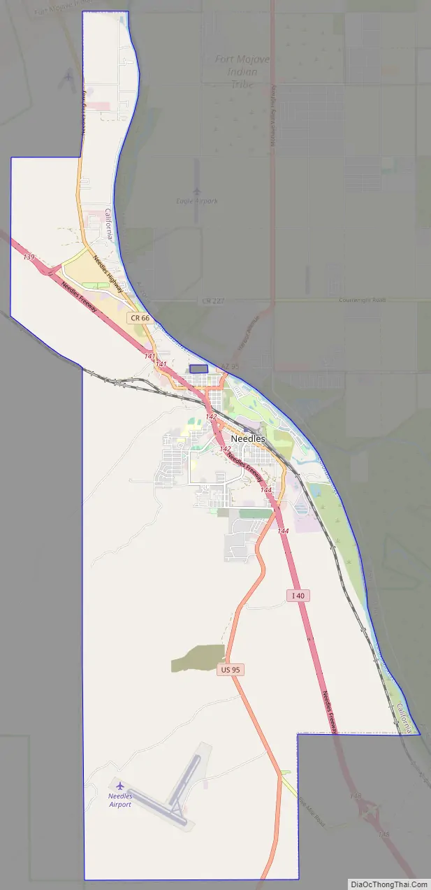
Needles Road Map
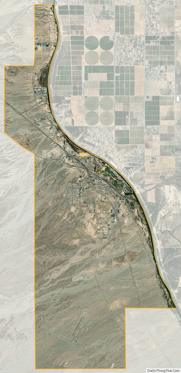
Needles city Satellite Map
Geography
Climate
The city has a desert climate with a subtropical temperature range, with a mean annual temperature of 74.2 °F (23.4 °C).
Needles, like Death Valley to the northwest, is known for extreme heat during the summer. The Needles weather station is frequently reported by the United States government’s National Oceanic and Atmospheric Administration (NOAA) as the site of the highest daily temperature recorded in the U.S. during the desert summers. Needles occasionally sets national or world daily temperature records, along with other related records associated with extreme desert heat. For instance, on July 22, 2006, Needles experienced a record high low temperature of 100 °F (38 °C) at 6:00 am with a high temperature exceeding 120 °F (49 °C), making it one of the few locations on Earth that have recorded an overnight minimum temperature higher than 100 °F (37.8 °C).
On August 13, 2012, Needles experienced a thunderstorm that deposited rain at a temperature of 115 °F (46 °C) starting at 3:56 pm, setting a new record for the hottest rain in world history. The air temperature was 118 °F (48 °C), tying Needles’s record high for the date. Since the humidity was only 11%, the rain evaporated so that “only a trace of precipitation was recorded in the rain gauge”. Weather records researcher Maximiliano Herrera reported that this was the lowest humidity at which rain has occurred on Earth in recorded history. On May 4, 2014, Needles reached a temperature of 102 °F (39 °C) with a dewpoint of −38 °F (−39 °C), for a relative humidity of 0.33%, the lowest value ever recorded on Earth.
In the winter, temperatures are typically mild, with December, the coolest month, having a normal mean temperature of 54.7 °F (12.6 °C). The hottest month, July, has a normal mean temperature of 98.5 °F (36.9 °C). On average, there are 119 days annually with a maximum of 100 °F (37.8 °C) or higher, 175 days with a maximum of 90 °F (32 °C) or higher, and 2.7 days with a minimum of 32 °F (0 °C) or lower. Official record temperatures range from 18 °F (−8 °C) on January 22, 1937 to 125 °F (52 °C), last recorded on June 20, 2017.
Annual normal rainfall is 4.32 in (110 mm), and there is an annual normal of 23 days with measurable precipitation. The wettest year was 1939 with 13.33 in (339 mm) of rainfall and the driest year was 2006 with 0.70 in (18 mm). The most rainfall in one month was 7.61 in (193 mm) in September 1939. The most rainfall in a calendar day was 3.49 in (89 mm) on August 19, 1906. Snowfall is very rare in Needles, with the only month recording measurable snowfall being January 1949, when 15.2 in (38.6 cm) of snow fell, including 12.2 in (31.0 cm) inches on January 12, 1949. The city is also known for moderate to locally severe thunderstorms during the monsoon season as well as humid conditions.
Needles is served by the National Weather Service’s NOAA Weather Radio operating on 162.50 MHz from the Las Vegas National Weather Service.
See also
Map of California State and its subdivision:- Alameda
- Alpine
- Amador
- Butte
- Calaveras
- Colusa
- Contra Costa
- Del Norte
- El Dorado
- Fresno
- Glenn
- Humboldt
- Imperial
- Inyo
- Kern
- Kings
- Lake
- Lassen
- Los Angeles
- Madera
- Marin
- Mariposa
- Mendocino
- Merced
- Modoc
- Mono
- Monterey
- Napa
- Nevada
- Orange
- Placer
- Plumas
- Riverside
- Sacramento
- San Benito
- San Bernardino
- San Diego
- San Francisco
- San Joaquin
- San Luis Obispo
- San Mateo
- Santa Barbara
- Santa Clara
- Santa Cruz
- Shasta
- Sierra
- Siskiyou
- Solano
- Sonoma
- Stanislaus
- Sutter
- Tehama
- Trinity
- Tulare
- Tuolumne
- Ventura
- Yolo
- Yuba
- Alabama
- Alaska
- Arizona
- Arkansas
- California
- Colorado
- Connecticut
- Delaware
- District of Columbia
- Florida
- Georgia
- Hawaii
- Idaho
- Illinois
- Indiana
- Iowa
- Kansas
- Kentucky
- Louisiana
- Maine
- Maryland
- Massachusetts
- Michigan
- Minnesota
- Mississippi
- Missouri
- Montana
- Nebraska
- Nevada
- New Hampshire
- New Jersey
- New Mexico
- New York
- North Carolina
- North Dakota
- Ohio
- Oklahoma
- Oregon
- Pennsylvania
- Rhode Island
- South Carolina
- South Dakota
- Tennessee
- Texas
- Utah
- Vermont
- Virginia
- Washington
- West Virginia
- Wisconsin
- Wyoming


