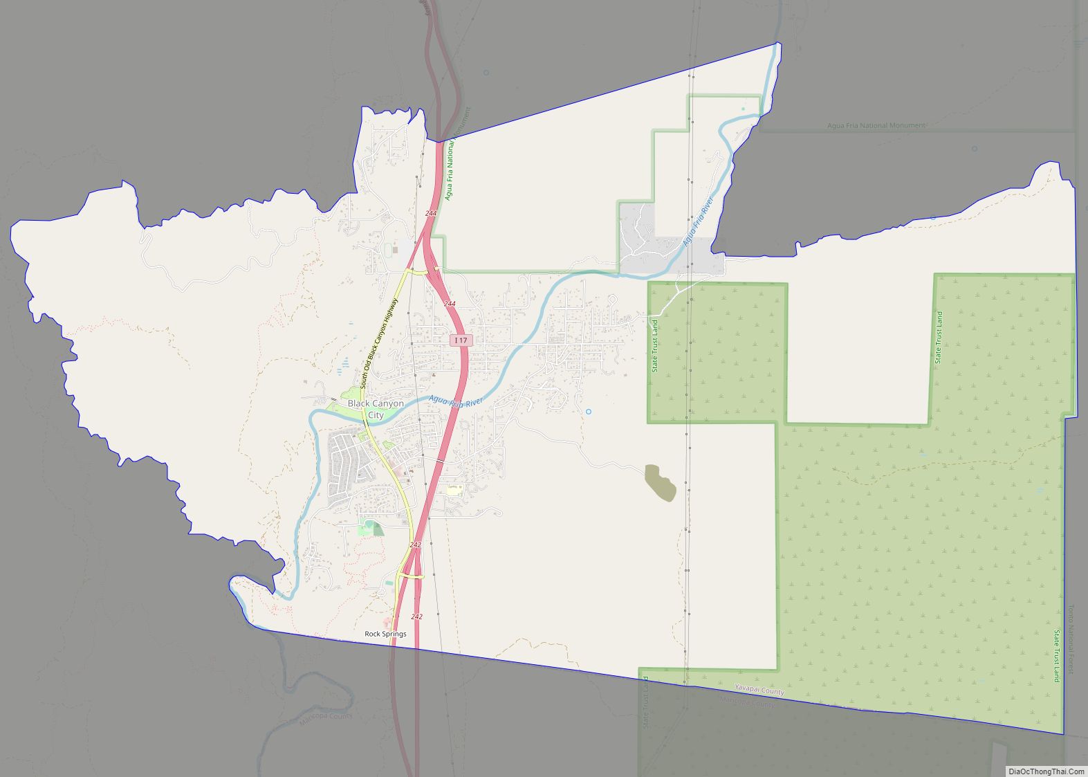
Black Canyon City is an unincorporated community and census-designated place (CDP) in Yavapai County, Arizona, United States. The population was 2,837 at the 2010 census, up from 2,697 in 2000.
| Name: | Black Canyon City CDP |
|---|---|
| LSAD Code: | 57 |
| LSAD Description: | CDP (suffix) |
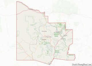
| State: | Arizona |
| County: | Yavapai County |
| Elevation: | 2,000 ft (610 m) |
| Total Area: | 24.62 sq mi (63.77 km²) |
| Land Area: | 24.62 sq mi (63.77 km²) |
| Water Area: | 0.00 sq mi (0.00 km²) |
| Total Population: | 2,677 |
| Population Density: | 108.73/sq mi (41.98/km²) |
| ZIP code: | 85324 |
| Area code: | 623 |
| FIPS code: | 0406610 |
| GNISfeature ID: | 26377 |
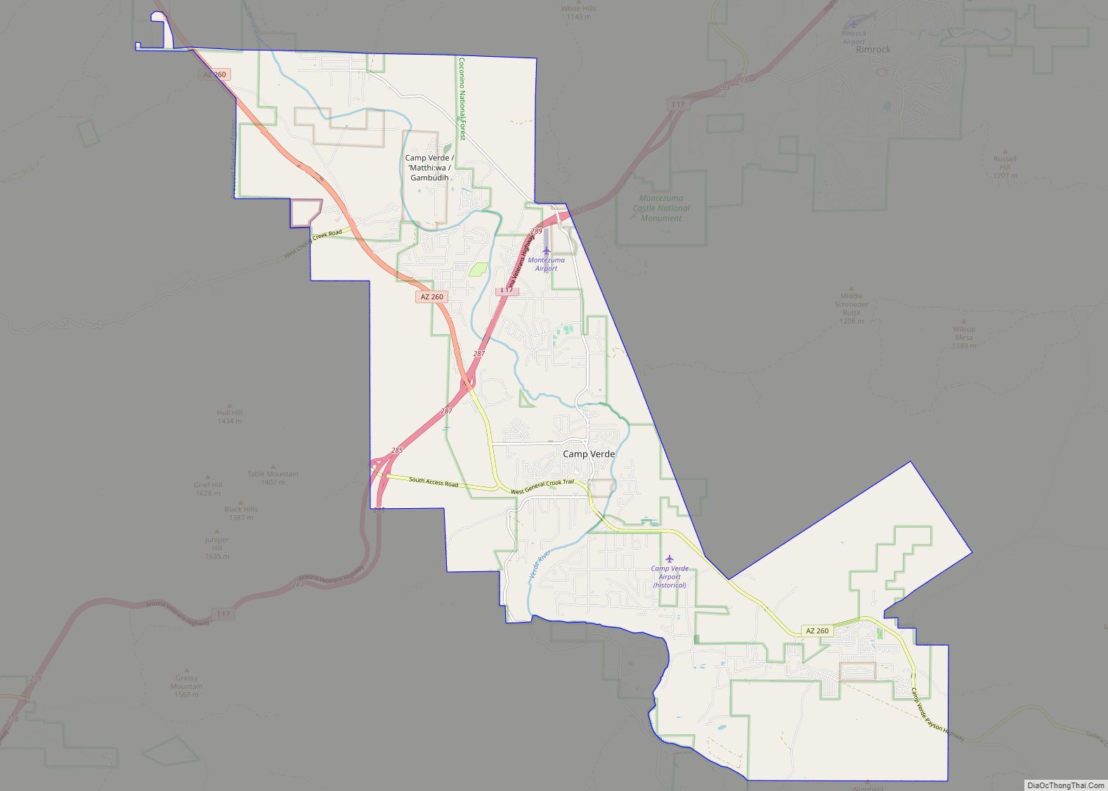
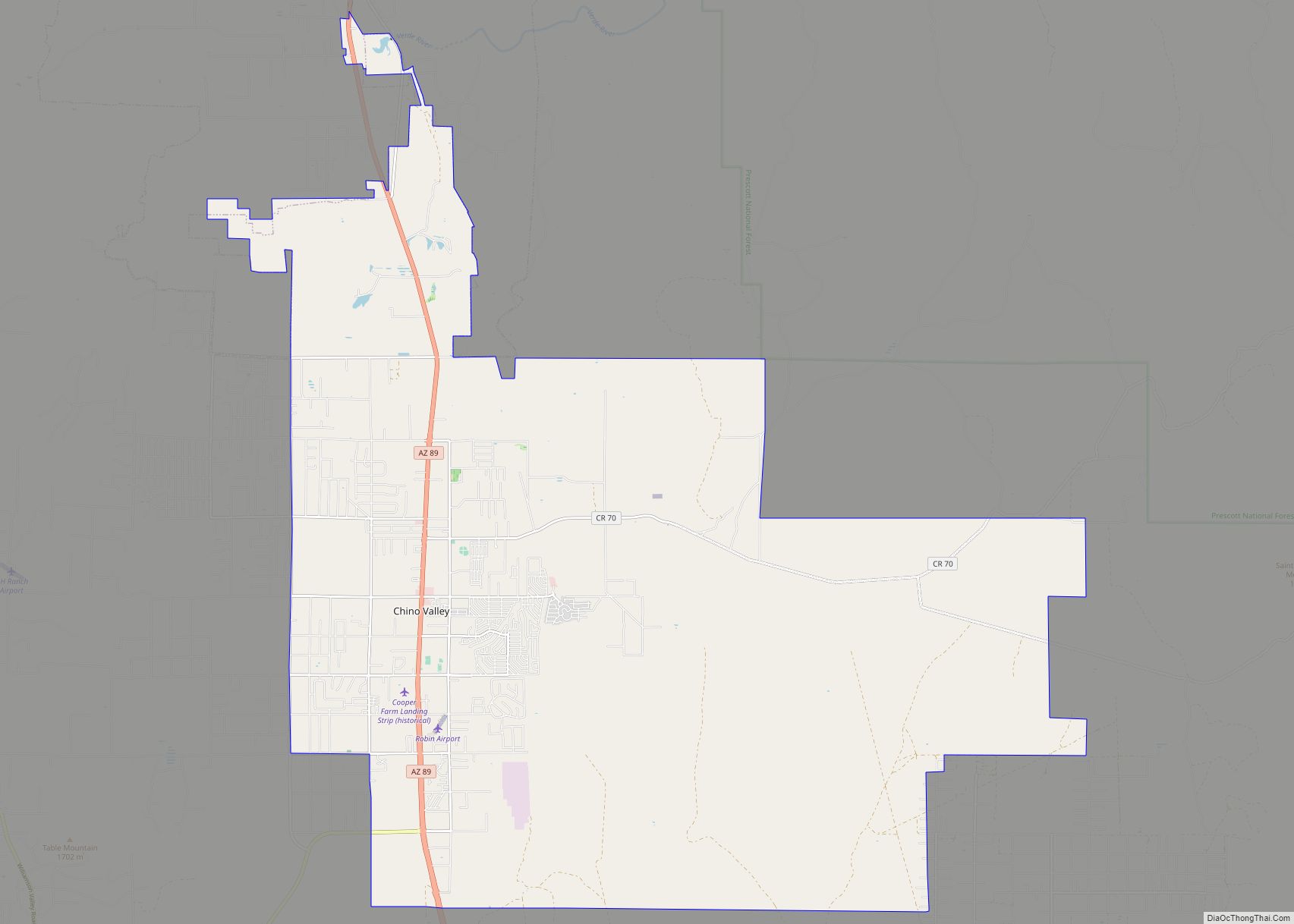
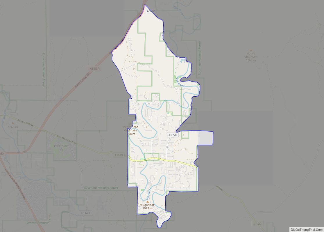
Online Interactive Map
Click on ![]() to view map in "full screen" mode.
to view map in "full screen" mode.
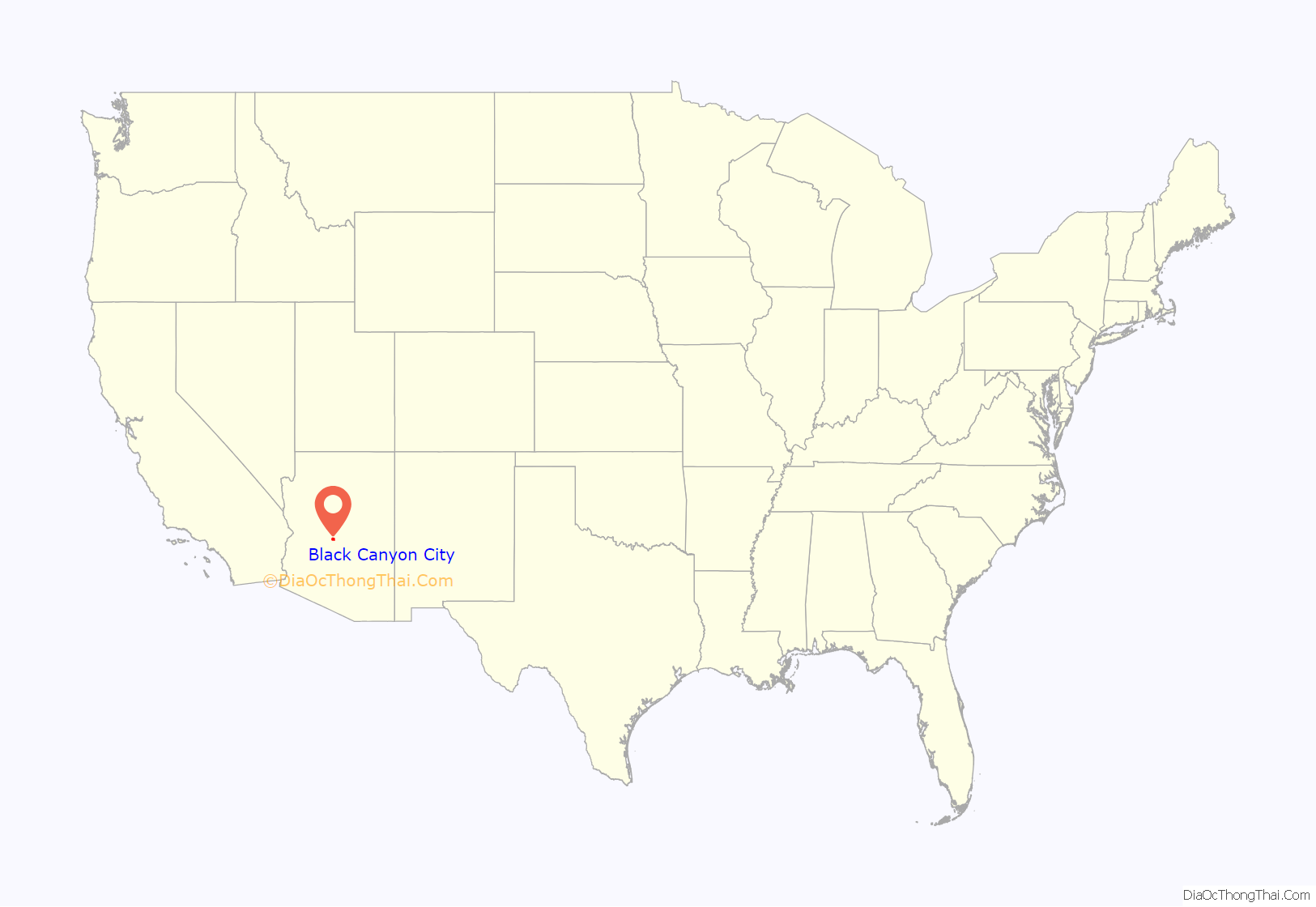
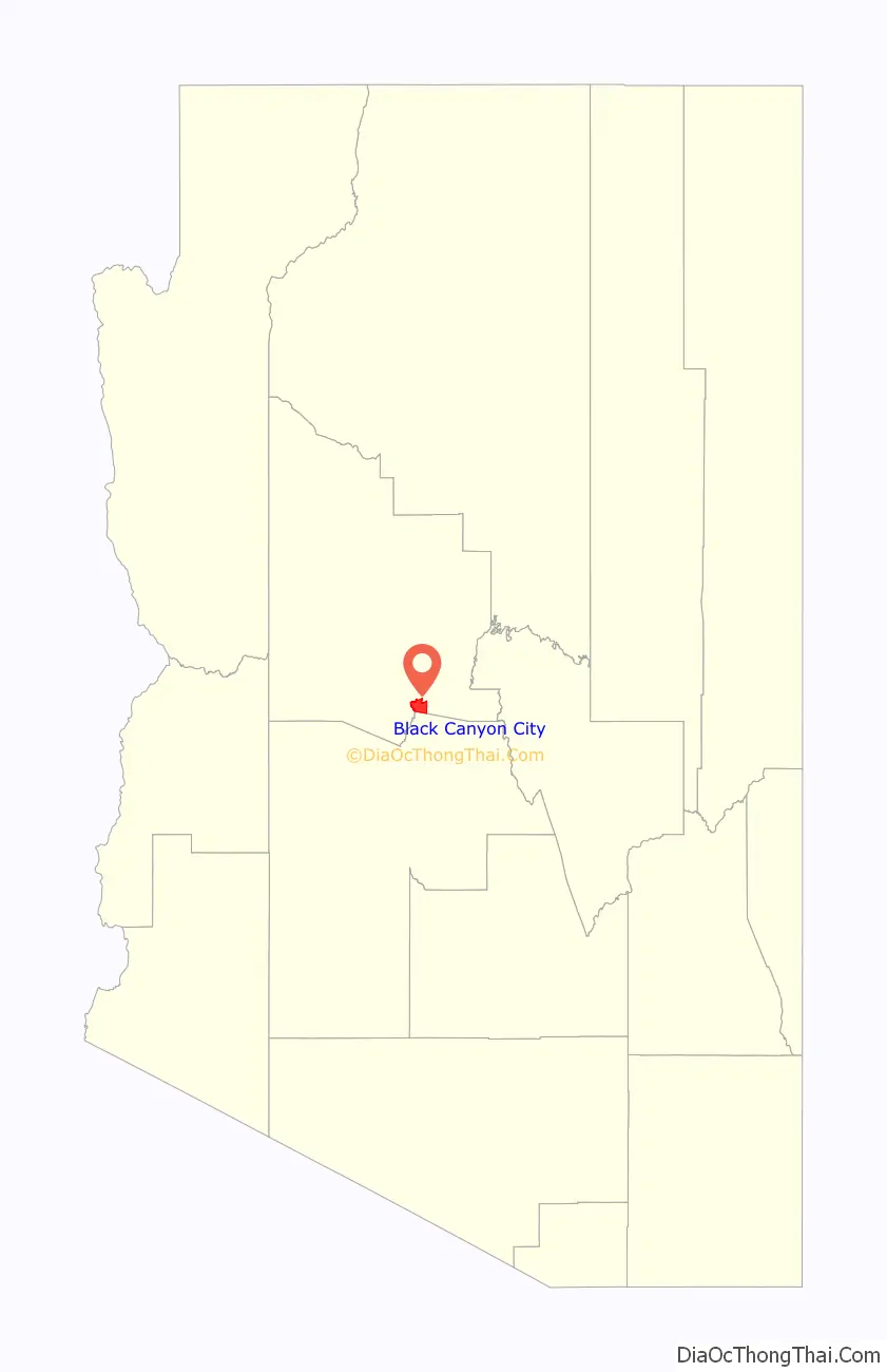
Black Canyon City location map. Where is Black Canyon City CDP?
History
Black Canyon City has been known by several names, including Goddard or Goddards, Cañon, and Black Canyon. Goddard’s was a stage stop on the Phoenix to Prescott line, a military stopover en route to Fort Whipple and Fort Verde during Territorial days, and a supply center for mines in the southern Bradshaw Mountains.
The area was first settled by people of Anglo-European origin in the 1870s, and the first post office was established as Cañon in May 1894, with postmaster Charles E. Goddard, and was discontinued in October 1899. It was reestablished again from February 1903 to November 1906. An early settler was Jack Swilling and his wife Trinidad Swilling, who moved there in 1871. The walls of his ranch house, Swillings Cabin – the community’s oldest building still stand.
In 2004, residents proposed incorporating the area as a town and submitted sufficient signatures to hold an election. However, the initiative failed with 72% voting against incorporation.
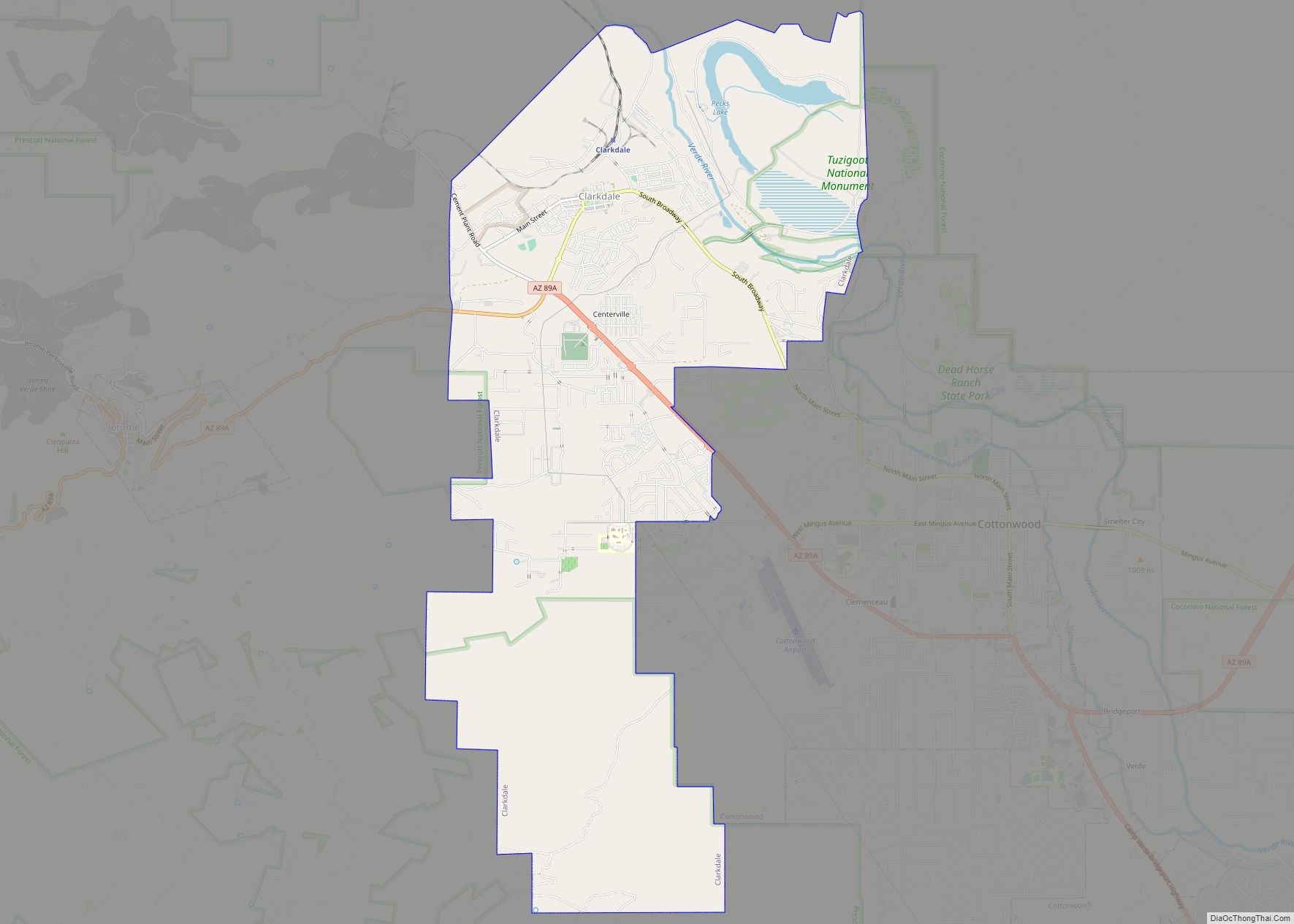
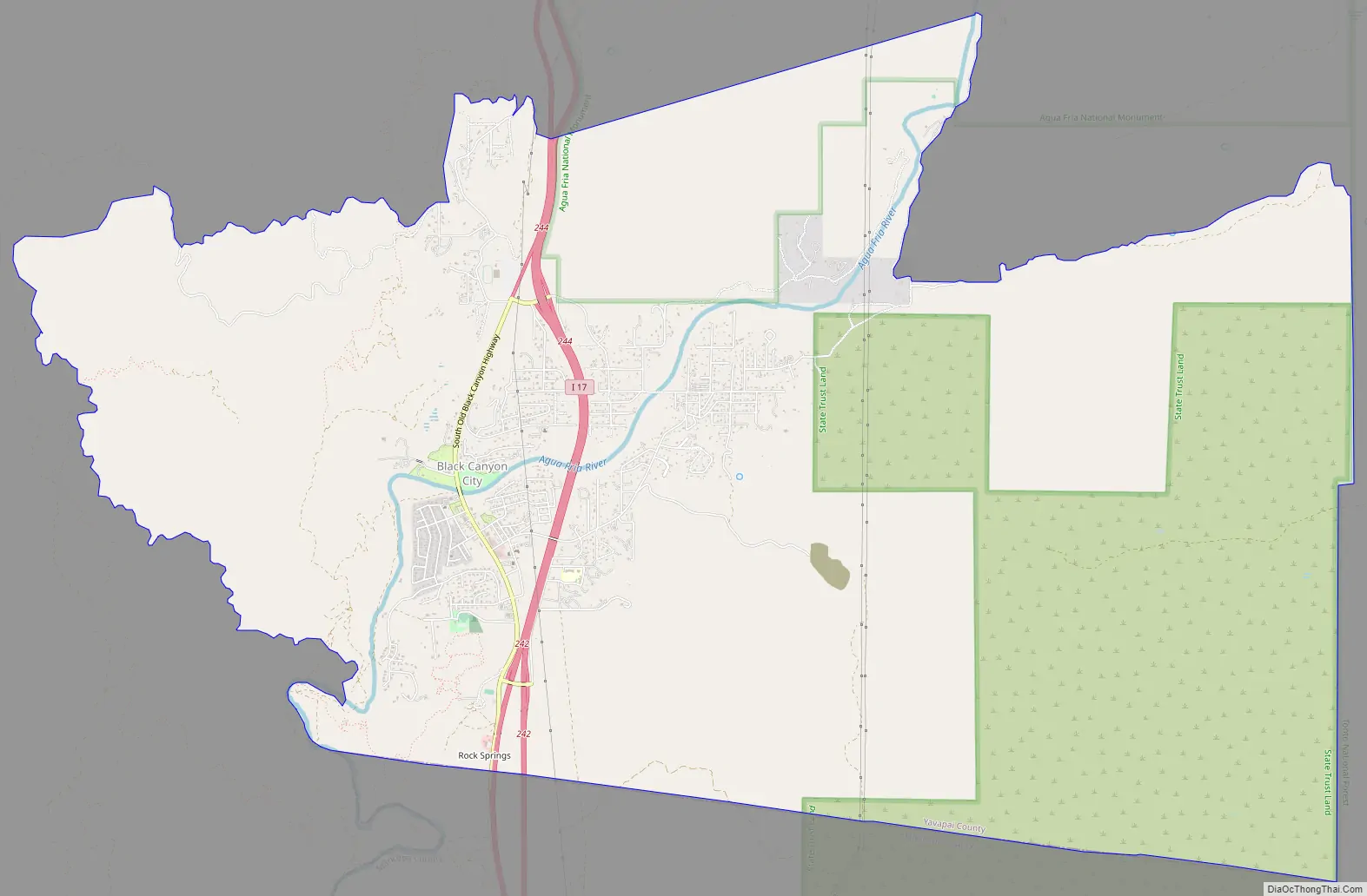
Black Canyon City Road Map
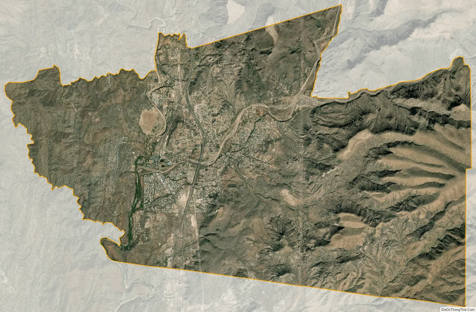
Black Canyon City city Satellite Map
Geography
Black Canyon City is located at 34°4′11″N 112°8′22″W / 34.06972°N 112.13944°W / 34.06972; -112.13944 (34.069719, -112.139466), at an elevation of 1,975 feet (602 m).
According to the United States Census Bureau, the CDP has a total area of 20.0 square miles (52 km), all land.
Black Canyon City is located in southern Yavapai County and is approximately 22 miles north of Phoenix. Included in the southern part of Black Canyon City is the community of Rock Springs. It is served by Interstate 17, which bisects the city. I-17 is the main north-south freeway between Phoenix and Flagstaff. The Agua Fria river runs right through the center of Black Canyon City and the river empties into Lake Pleasant to the southwest.
Black Canyon City is becoming a bedroom exurb of Phoenix with the continued rapid growth of Phoenix northward. The assessed value of Black Canyon City property more than doubled between 2000 and 2007.
See also
Map of Arizona State and its subdivision: Map of other states:- Alabama
- Alaska
- Arizona
- Arkansas
- California
- Colorado
- Connecticut
- Delaware
- District of Columbia
- Florida
- Georgia
- Hawaii
- Idaho
- Illinois
- Indiana
- Iowa
- Kansas
- Kentucky
- Louisiana
- Maine
- Maryland
- Massachusetts
- Michigan
- Minnesota
- Mississippi
- Missouri
- Montana
- Nebraska
- Nevada
- New Hampshire
- New Jersey
- New Mexico
- New York
- North Carolina
- North Dakota
- Ohio
- Oklahoma
- Oregon
- Pennsylvania
- Rhode Island
- South Carolina
- South Dakota
- Tennessee
- Texas
- Utah
- Vermont
- Virginia
- Washington
- West Virginia
- Wisconsin
- Wyoming