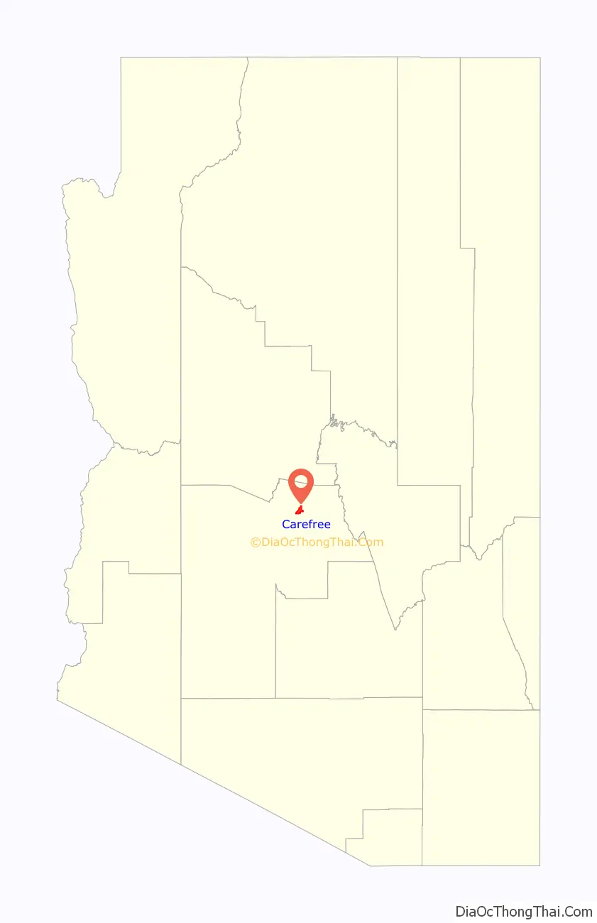
Carefree is a town in Maricopa County, Arizona, United States. As of the 2020 United States census, the population of the town was 3,690.
| Name: | Carefree town |
|---|---|
| LSAD Code: | 43 |
| LSAD Description: | town (suffix) |
| State: | Arizona |
| County: | Maricopa County |
| Elevation: | 2,402 ft (732 m) |
| Total Area: | 8.81 sq mi (22.83 km²) |
| Land Area: | 8.81 sq mi (22.82 km²) |
| Water Area: | 0.00 sq mi (0.01 km²) |
| Total Population: | 3,690 |
| Population Density: | 418.89/sq mi (161.73/km²) |
| ZIP code: | 85377 |
| Area code: | 480 |
| FIPS code: | 0410180 |
| GNISfeature ID: | 2413168 |
| Website: | www.carefree.org |
Online Interactive Map
Click on ![]() to view map in "full screen" mode.
to view map in "full screen" mode.
Carefree location map. Where is Carefree town?
History
Characterized as an upscale residential area, Carefree was conceived in the mid-1950s by business partners K.T. Palmer and Tom Darlington as a master-planned community. Land sales commenced in 1955 and homebuilding started in 1958. Carefree was incorporated in 1984 to avoid annexation by neighboring Scottsdale.
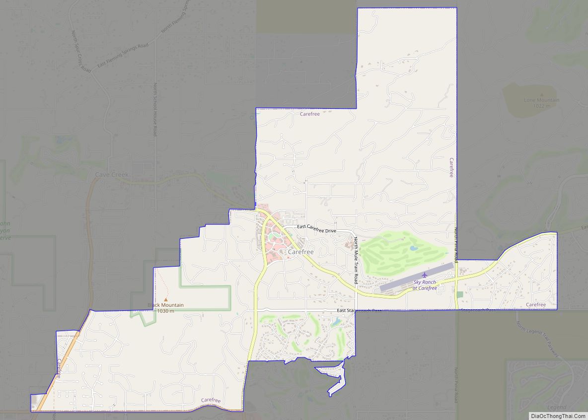
Carefree Road Map
Carefree city Satellite Map
Geography
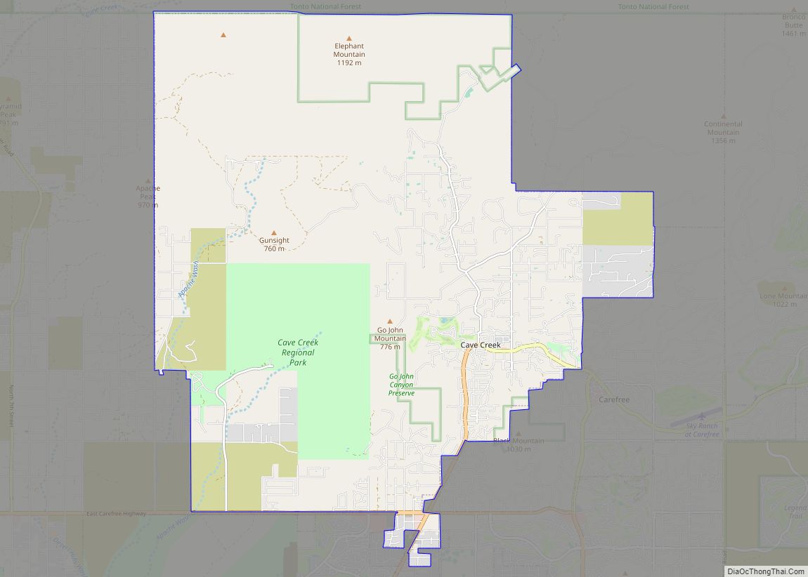
Carefree is in northeastern Maricopa County, bordered by the city of Scottsdale to the south and east and by the town of Cave Creek to the west. Carefree and Cave Creek are sometimes thought of as a single community. The two towns share the local landmark Black Mountain, which rises more than 1,000 feet (300 m) above them, to an elevation of 3,398 feet (1,036 m).
According to the United States Census Bureau, the town has a total area of 8.8 square miles (23 km), of which 0.004 square miles (0.010 km), or 0.05%, are listed as water.
Carefree has a hot semi-arid climate (Köppen BSh) with hot summers and mild winters, avoiding a designation of arid by being located closer to the rain-catching central mountains of Arizona, so that it receives about 70 percent (around 5.3 inches or 135 millimetres) more rainfall annually than does Phoenix. There are 141 afternoons annually with highs of at least 90 °F or 32.2 °C, 63.4 afternoons of at least 100 °F or 37.8 °C, and three afternoons that exceed 110 °F or 43.3 °C. During the winter, 8.3 mornings will fall below freezing; the coldest temperature reported in Carefree is 15 °F or −9.4 °C, which occurred on January 13, 1963 and January 7, 1971. Snowfall, although infrequent, can occur. The last measurable snow was February 22, 2019, accumulating 3–6″ depending upon the elevation. Rainfall is sometimes heavy during winter fronts or monsoonal storms; the wettest month on record is January 1993 with 9.37 inches (238.0 mm), which helped produce a record “rain year” total of 26.20 inches (665.5 mm) between July 1992 and June 1993; in contrast between July 1962 and June 1963, only 6.98 inches (177.3 mm) was recorded.
See also
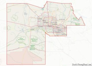
Map of Arizona State and its subdivision: Map of other states:- Alabama
- Alaska
- Arizona
- Arkansas
- California
- Colorado
- Connecticut
- Delaware
- District of Columbia
- Florida
- Georgia
- Hawaii
- Idaho
- Illinois
- Indiana
- Iowa
- Kansas
- Kentucky
- Louisiana
- Maine
- Maryland
- Massachusetts
- Michigan
- Minnesota
- Mississippi
- Missouri
- Montana
- Nebraska
- Nevada
- New Hampshire
- New Jersey
- New Mexico
- New York
- North Carolina
- North Dakota
- Ohio
- Oklahoma
- Oregon
- Pennsylvania
- Rhode Island
- South Carolina
- South Dakota
- Tennessee
- Texas
- Utah
- Vermont
- Virginia
- Washington
- West Virginia
- Wisconsin
- Wyoming

