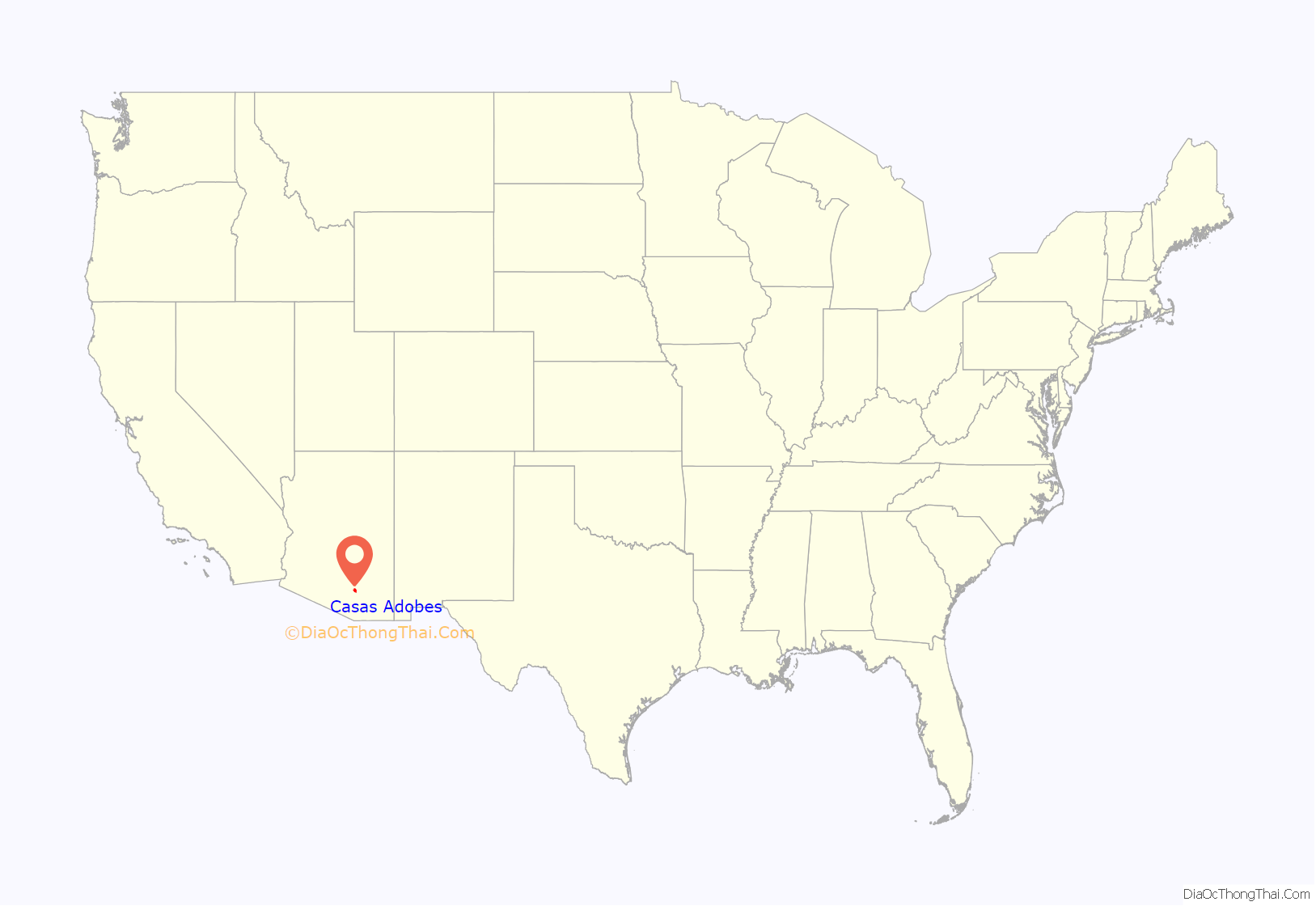
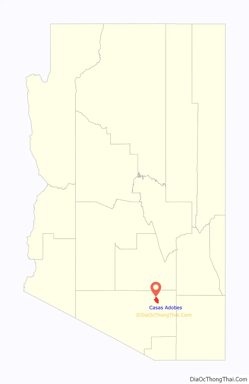
Casas Adobes (Spanish: “Adobe Houses“) is an unincorporated community and census-designated place (CDP) located in the northern metropolitan area of Tucson, Arizona (in Pima County). The population was 66,795 at the 2010 census. Casas Adobes is situated south and southwest of the town of Oro Valley, and west of the community of Catalina Foothills.
The attempted assassination of Representative Gabby Giffords, and the murders of chief judge for the U.S. District Court for Arizona, John Roll, and five other people on January 8, 2011, took place at a Safeway supermarket in Casas Adobes.
| Name: | Casas Adobes CDP |
|---|---|
| LSAD Code: | 57 |
| LSAD Description: | CDP (suffix) |
| State: | Arizona |
| County: | Pima County |
| Elevation: | 2,411 ft (735 m) |
| Total Area: | 26.75 sq mi (69.29 km²) |
| Land Area: | 26.64 sq mi (69.01 km²) |
| Water Area: | 0.11 sq mi (0.28 km²) |
| Total Population: | 70,973 |
| Population Density: | 2,663.65/sq mi (1,028.43/km²) |
| FIPS code: | 0410670 |
Online Interactive Map
Click on ![]() to view map in "full screen" mode.
to view map in "full screen" mode.
Casas Adobes location map. Where is Casas Adobes CDP?
History
Though Casas Adobes is an unincorporated community, it is older than both the towns of Oro Valley and Marana.
The area bordering the Cañada del Oro in the north, and the Rillito River in the south was primarily inhabited and utilized by cattle ranchers. Cattle ranches dominated the Casas Adobes area until the 1920s, when Tucson had grown far enough north and the advent of the automobile made the area more easily accessible.
One of the first individuals to build a home in the area was Maurice L. Reid, who came to Tucson in 1923 seeking a “walking cure” for tuberculosis. In the late 1920s Reid bought a 1,500 acres (6.1 km) former ranch, bounded by North Oracle Road to the east, Orange Grove Road to the south, Ina Road to the north, and North La Cholla Boulevard to the west. Reid planted more than 200 acres (0.81 km) of citrus trees and date palms, that would become the heart of Tucson’s citrus industry. Over the years, Reid sold parcels of land for home sites, and in 1950 he sold the last of his land. Some larger residential estates continue to maintain the remaining citrus groves and orchards nearly a century later.
Leonie Boutall, who relocated to Arizona from Tennessee, decided to build a guest ranch in the early 1930s. The dry climate, her doctor told her, would relieve her bronchial troubles. Boutall bought 100 acres (0.40 km) of former ranch land just west of North Oracle Road, and south of a narrow dirt track now called Orange Grove Road. She built Rancho Nezhone, a luxury guest ranch that drew the rich and famous to the sparsely settled area far north of Tucson. Kate Smith, Liberace, Gen. John Pershing and William “Hopalong Cassidy” Boyd were guests of the desert retreat which featured lush vegetation with monkeys and parrots. Boutall sold out of the property in 1948. Today the site is home to Mission Palms Apartments, where much of the original flora and several features remain, including a 300-stone wall in front of the property.
Sam Nanini and Giaconda, his wife, moved to Tucson in 1948 seeking to cure Giaconda Nanini’s bronchial asthma. Beginning in the mid-1950s, the Italian born, transplanted Chicagoan developed three residential subdivisions on about 300 acres (1.2 km) that became the heart of the Casas Adobes community, giving the community its name. The subdivisions, along with Sam Nanini’s landmark Casas Adobes Plaza, were considered by many to be Tucson’s first suburb. Most of the homes in the subdivision are large ranch-style homes built with adobe bricks. Sam Nanini and his son William also later built the world-class Tucson National Resort, and the million-dollar residential subdivision, the Tucson National Estates.
1997 incorporation attempt
In 1997, the Arizona legislature passed a law that suspended the ability of incorporated cities and towns in Pima County to prevent the incorporation of other cities within six miles of their borders for a period of approximately two years. That same year, the residents of Casas Adobes voted to incorporate as their own city. However, a series of appeals overturned the new law on constitutional grounds, and the Superior Court annulled the incorporation. A second vote for incorporation in 2001 failed 56 to 44 percent.
Casas Adobes community has grown to encompass a 23-square-mile (60 km) area inhabited by nearly 60,000 residents. While Casas Adobes’ neighboring municipalities of Oro Valley, Marana and Tucson continue to build new homes and shopping centers, Casas Adobes is mostly built out. With the failure of incorporation attempts, it is likely that one or all three of the neighboring entities will annex portions of Casas Adobes in the future.
2011 shooting
On January 8, 2011, 19 people were shot during a Congresswoman’s meeting in a Safeway grocery store parking lot. Six people were killed, including a federal judge, John Roll, and a congressional aide. U.S. Representative for Arizona’s 8th congressional district, Gabby Giffords, was shot in the head at close range. A 22-year-old local man named as Jared Lee Loughner was arrested in connection with the incident.
Casas Adobes Road Map

Casas Adobes city Satellite Map

Geography
Casas Adobes is located at 32°20′47″N 111°0′35″W / 32.34639°N 111.00972°W / 32.34639; -111.00972 (32.346368, −111.009844).
According to the United States Census Bureau, the CDP has a total area of 22.6 square miles (58.6 km), of which 22.6 square miles (58.6 km) is land and 0.04% is water.
See also
Map of Arizona State and its subdivision: Map of other states:- Alabama
- Alaska
- Arizona
- Arkansas
- California
- Colorado
- Connecticut
- Delaware
- District of Columbia
- Florida
- Georgia
- Hawaii
- Idaho
- Illinois
- Indiana
- Iowa
- Kansas
- Kentucky
- Louisiana
- Maine
- Maryland
- Massachusetts
- Michigan
- Minnesota
- Mississippi
- Missouri
- Montana
- Nebraska
- Nevada
- New Hampshire
- New Jersey
- New Mexico
- New York
- North Carolina
- North Dakota
- Ohio
- Oklahoma
- Oregon
- Pennsylvania
- Rhode Island
- South Carolina
- South Dakota
- Tennessee
- Texas
- Utah
- Vermont
- Virginia
- Washington
- West Virginia
- Wisconsin
- Wyoming


