Dolan Springs is an unincorporated community and census-designated place (CDP) in Mohave County, Arizona, United States. The population was 1,989 at the 2020 census, down from 2,033 at the 2010 census.
| Name: | Dolan Springs CDP |
|---|---|
| LSAD Code: | 57 |
| LSAD Description: | CDP (suffix) |
| State: | Arizona |
| County: | Mohave County |
| Elevation: | 3,400 ft (1,036 m) |
| Total Area: | 58.13 sq mi (150.54 km²) |
| Land Area: | 58.13 sq mi (150.54 km²) |
| Water Area: | 0.00 sq mi (0.00 km²) |
| Total Population: | 1,989 |
| Population Density: | 29.83/sq mi (11.52/km²) |
| ZIP code: | 86441 |
| Area code: | 928 |
| FIPS code: | 0419630 |
| GNISfeature ID: | 25302 |
Online Interactive Map
Click on ![]() to view map in "full screen" mode.
to view map in "full screen" mode.
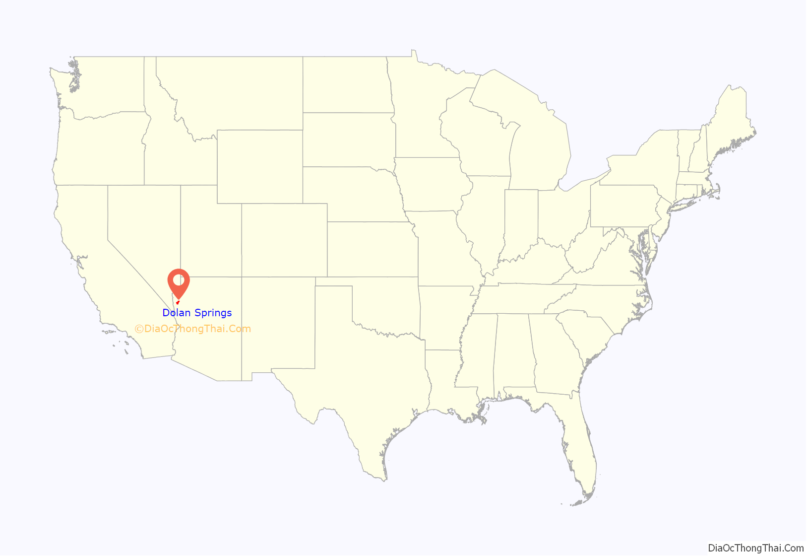
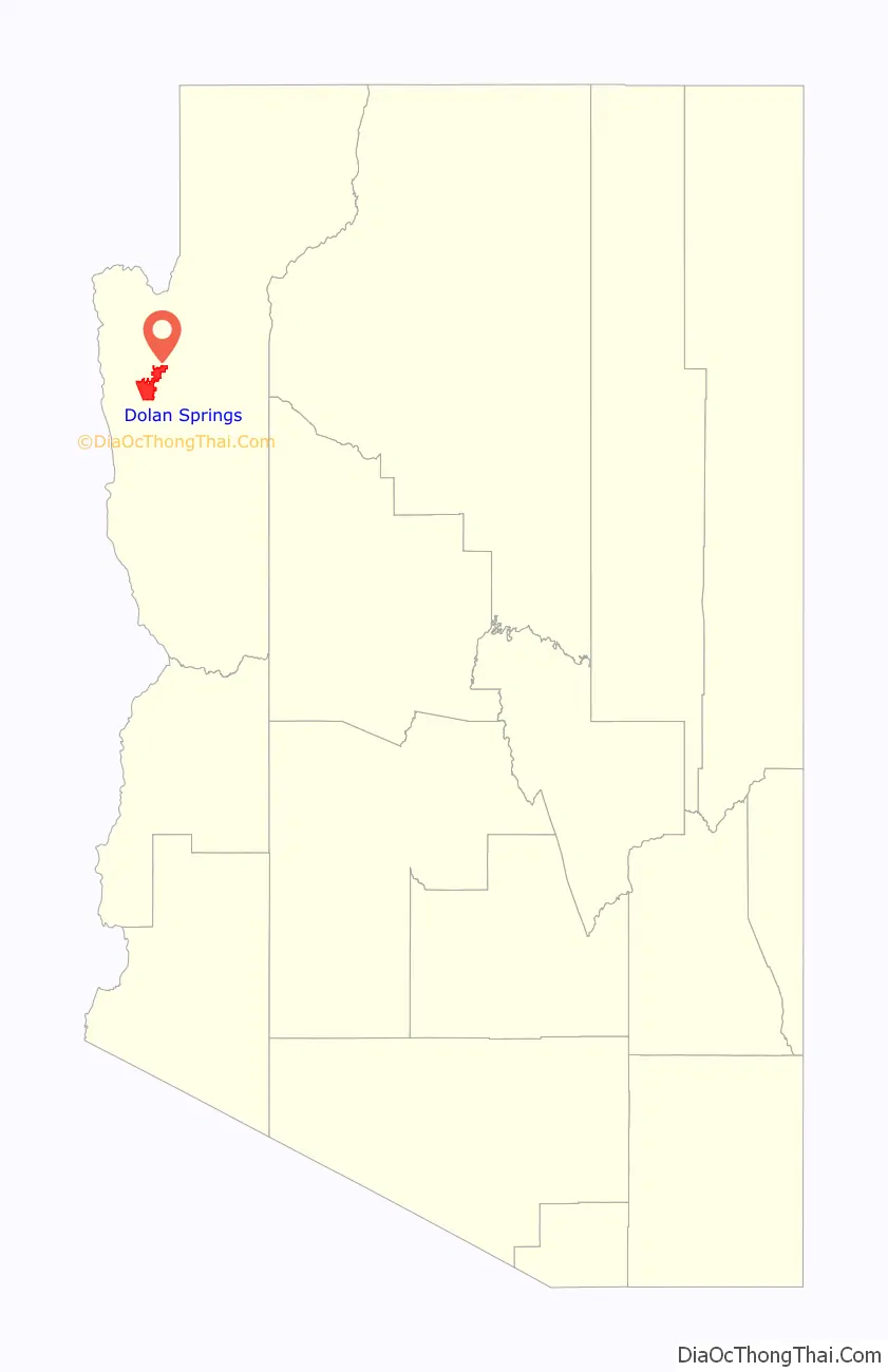
Dolan Springs location map. Where is Dolan Springs CDP?
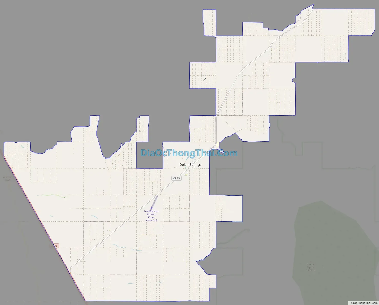
Dolan Springs Road Map
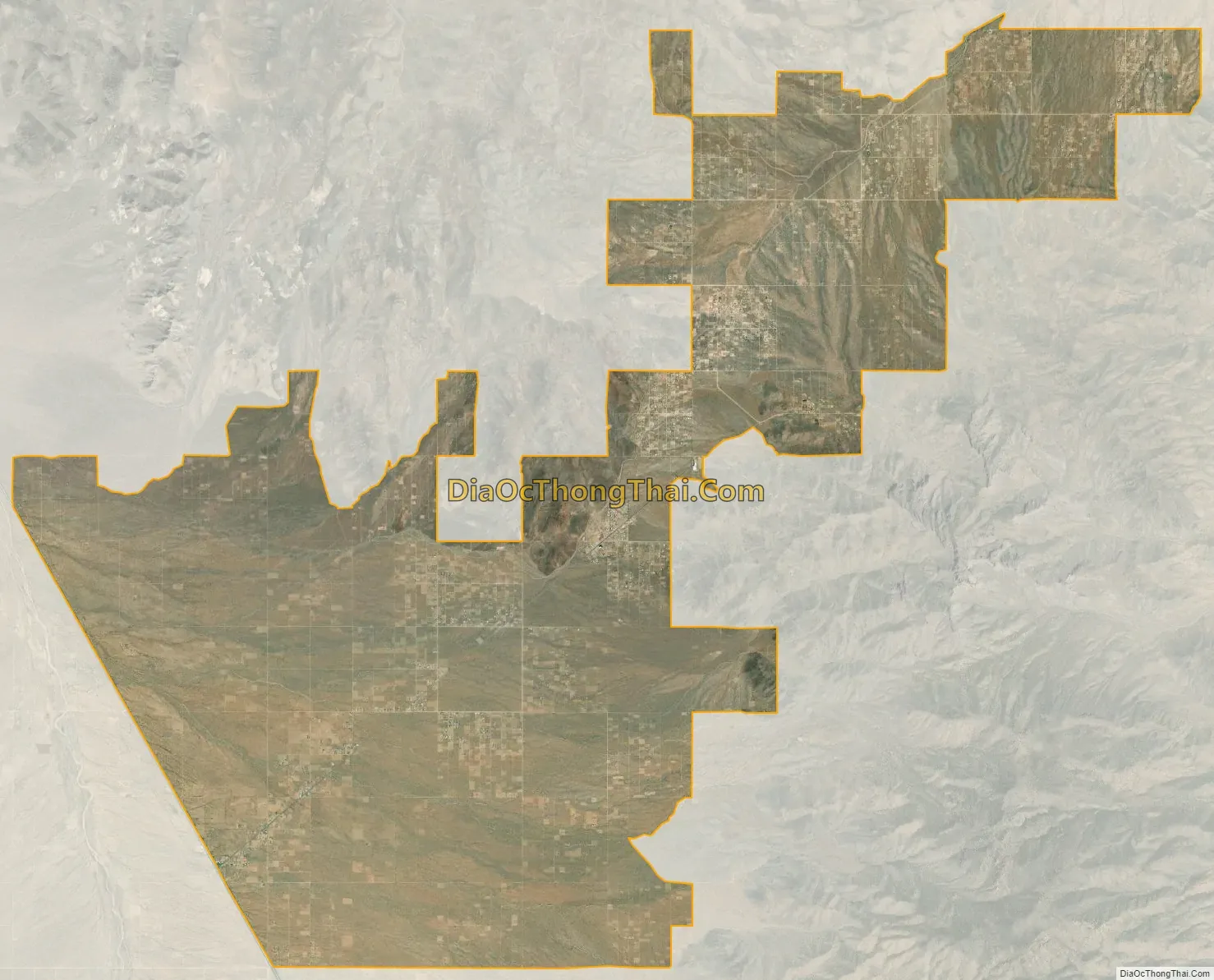
Dolan Springs city Satellite Map
Geography
Dolan Springs is located in north-central Mohave County at 35°36′57″N 114°15′39″W / 35.61583°N 114.26083°W / 35.61583; -114.26083 (35.615835, -114.260804). U.S. Route 93 forms the western boundary of the community, which extends northeast across Detrital Valley and into a smaller valley between the Cerbat Mountains to the south and Table Mountain Plateau to the north. The town center is 6 miles (10 km) northeast of US 93, along County Highway 25 (Pierce Ferry Road). US 93 leads southeast 30 miles (48 km) to Kingman, the Mohave county seat, and northwest 47 miles (76 km) to Boulder City, Nevada.
According to the United States Census Bureau, the Dolan Springs CDP has a total area of 58.1 square miles (150 km), all land.
See also
Map of Arizona State and its subdivision: Map of other states:- Alabama
- Alaska
- Arizona
- Arkansas
- California
- Colorado
- Connecticut
- Delaware
- District of Columbia
- Florida
- Georgia
- Hawaii
- Idaho
- Illinois
- Indiana
- Iowa
- Kansas
- Kentucky
- Louisiana
- Maine
- Maryland
- Massachusetts
- Michigan
- Minnesota
- Mississippi
- Missouri
- Montana
- Nebraska
- Nevada
- New Hampshire
- New Jersey
- New Mexico
- New York
- North Carolina
- North Dakota
- Ohio
- Oklahoma
- Oregon
- Pennsylvania
- Rhode Island
- South Carolina
- South Dakota
- Tennessee
- Texas
- Utah
- Vermont
- Virginia
- Washington
- West Virginia
- Wisconsin
- Wyoming


