Golden Shores is a census-designated place (CDP) in Mohave County, Arizona, United States. The population was 1,927 at the 2020 census. Residents are part of the 86436 ZIP code area, with a mailing address of Topock.
| Name: | Golden Shores CDP |
|---|---|
| LSAD Code: | 57 |
| LSAD Description: | CDP (suffix) |
| State: | Arizona |
| County: | Mohave County |
| Elevation: | 682 ft (208 m) |
| Total Area: | 8.14 sq mi (21.08 km²) |
| Land Area: | 8.14 sq mi (21.08 km²) |
| Water Area: | 0.00 sq mi (0.00 km²) |
| Total Population: | 1,927 |
| Population Density: | 236.82/sq mi (91.43/km²) |
| ZIP code: | 86436 (Topock) |
| Area code: | 928 |
| FIPS code: | 0428190 |
| GNISfeature ID: | 2582790 |
Online Interactive Map
Click on ![]() to view map in "full screen" mode.
to view map in "full screen" mode.
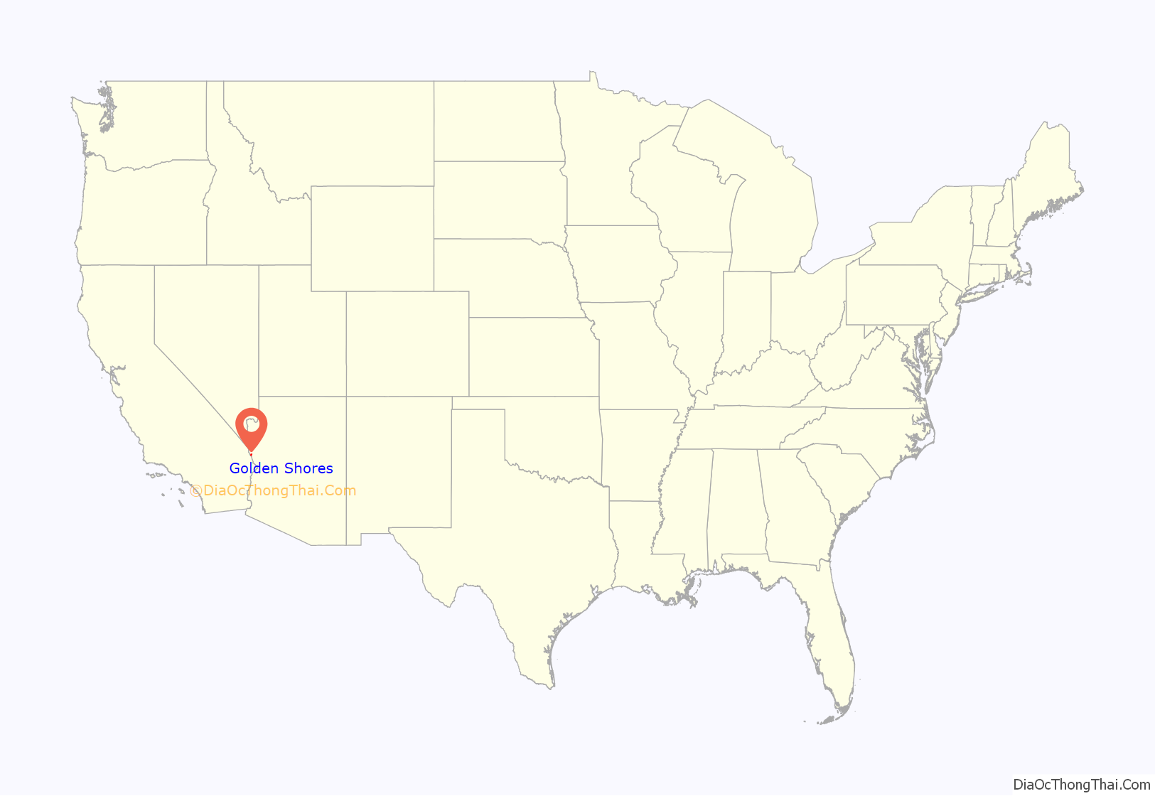
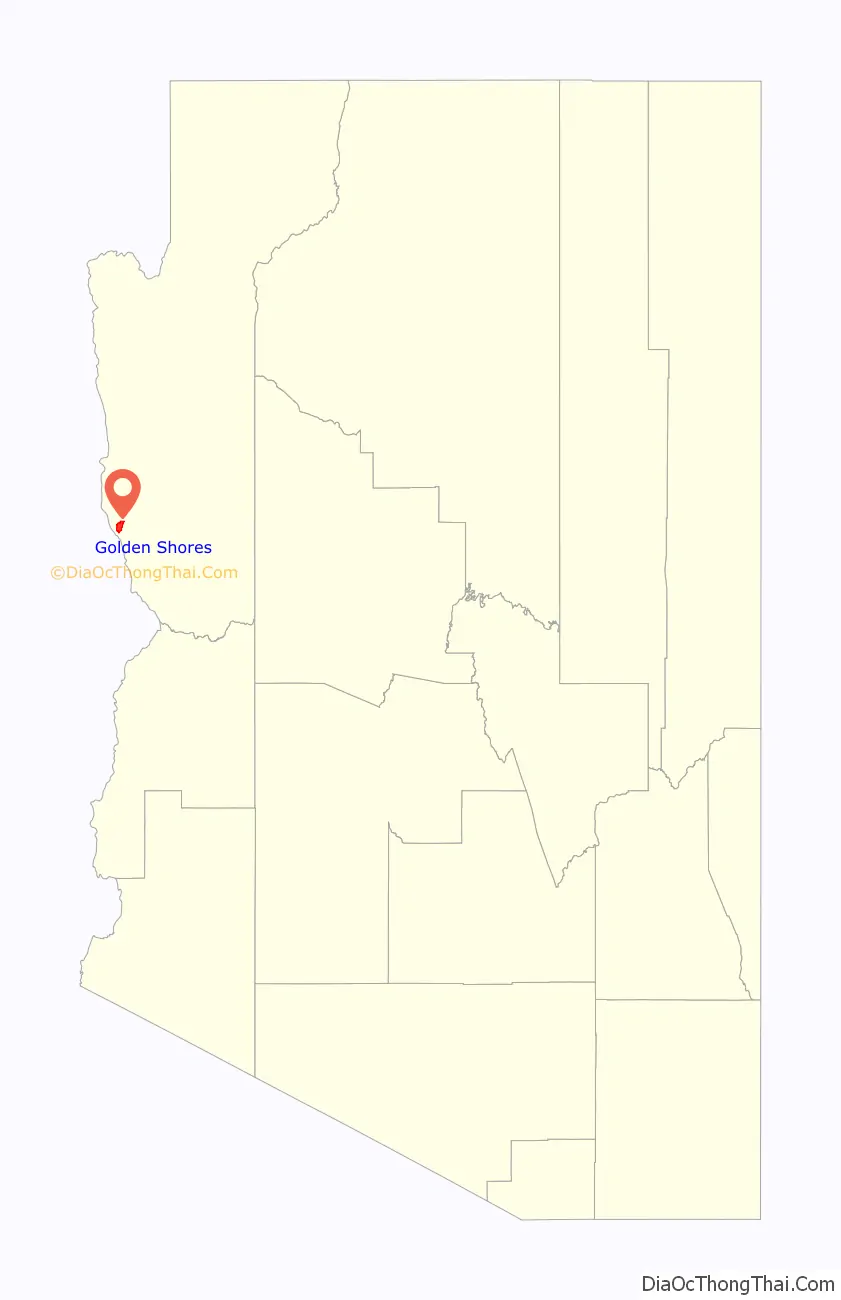
Golden Shores location map. Where is Golden Shores CDP?
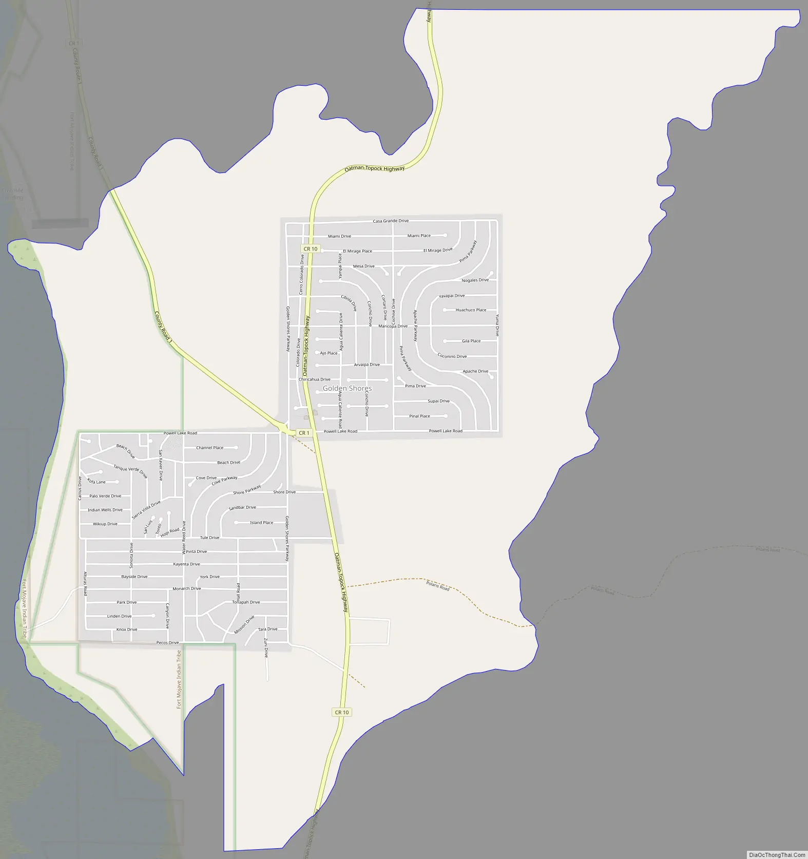
Golden Shores Road Map
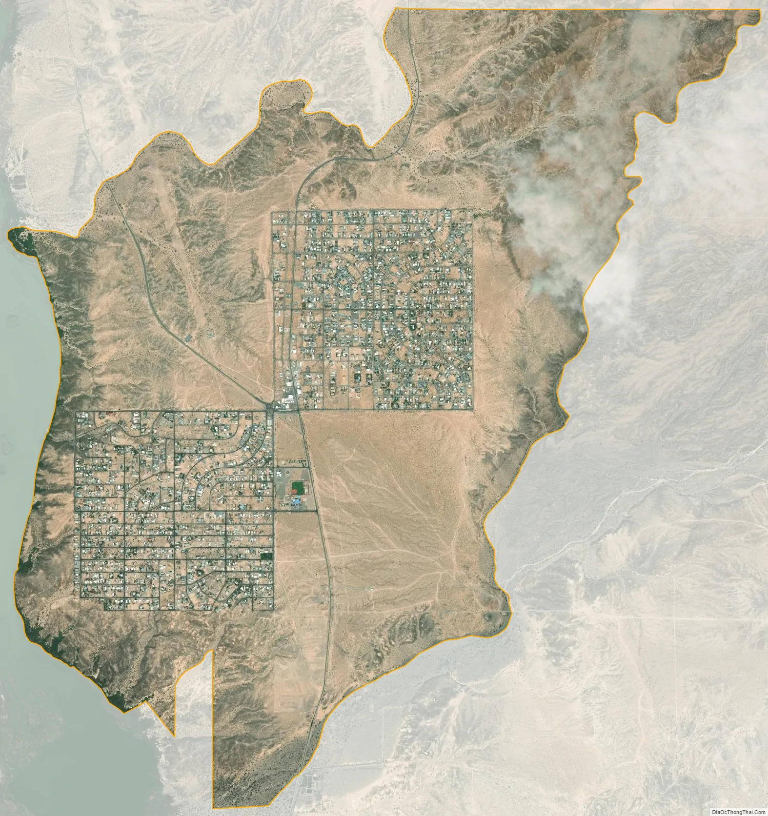
Golden Shores city Satellite Map
Geography
Golden Shores is located in western Mohave County at 34°46′55″N 114°28′40″W / 34.78194°N 114.47778°W / 34.78194; -114.47778 (34.781882, −114.477747). It is 4 miles (6 km) north of Interstate 40 where it crosses the Colorado River on Historic Route 66 and 15 miles (24 km) south of Mohave Valley. According to the United States Census Bureau, the CDP has a total area of 8.14 square miles (21.1 km), all land.
See also
Map of Arizona State and its subdivision: Map of other states:- Alabama
- Alaska
- Arizona
- Arkansas
- California
- Colorado
- Connecticut
- Delaware
- District of Columbia
- Florida
- Georgia
- Hawaii
- Idaho
- Illinois
- Indiana
- Iowa
- Kansas
- Kentucky
- Louisiana
- Maine
- Maryland
- Massachusetts
- Michigan
- Minnesota
- Mississippi
- Missouri
- Montana
- Nebraska
- Nevada
- New Hampshire
- New Jersey
- New Mexico
- New York
- North Carolina
- North Dakota
- Ohio
- Oklahoma
- Oregon
- Pennsylvania
- Rhode Island
- South Carolina
- South Dakota
- Tennessee
- Texas
- Utah
- Vermont
- Virginia
- Washington
- West Virginia
- Wisconsin
- Wyoming


