Lake Havasu City (/ˈhɑːvəsuː/, HAH-və-soo) is a city in Mohave County, Arizona, United States. As of the 2020 census, the population of the city was 57,144, up from 52,527 in 2010. It is served by Lake Havasu City Airport.
| Name: | Lake Havasu City city |
|---|---|
| LSAD Code: | 25 |
| LSAD Description: | city (suffix) |
| State: | Arizona |
| County: | Mohave County |
| Incorporated: | 1978 |
| Elevation: | 738 ft (225 m) |
| Land Area: | 46.34 sq mi (120.02 km²) |
| Water Area: | 0.05 sq mi (0.12 km²) |
| Population Density: | 1,233.17/sq mi (476.13/km²) |
| ZIP code: | 86403-86406 |
| Area code: | 928 |
| FIPS code: | 0439370 |
| GNISfeature ID: | 6840 |
| Website: | www.lhcaz.gov |
Online Interactive Map
Click on ![]() to view map in "full screen" mode.
to view map in "full screen" mode.
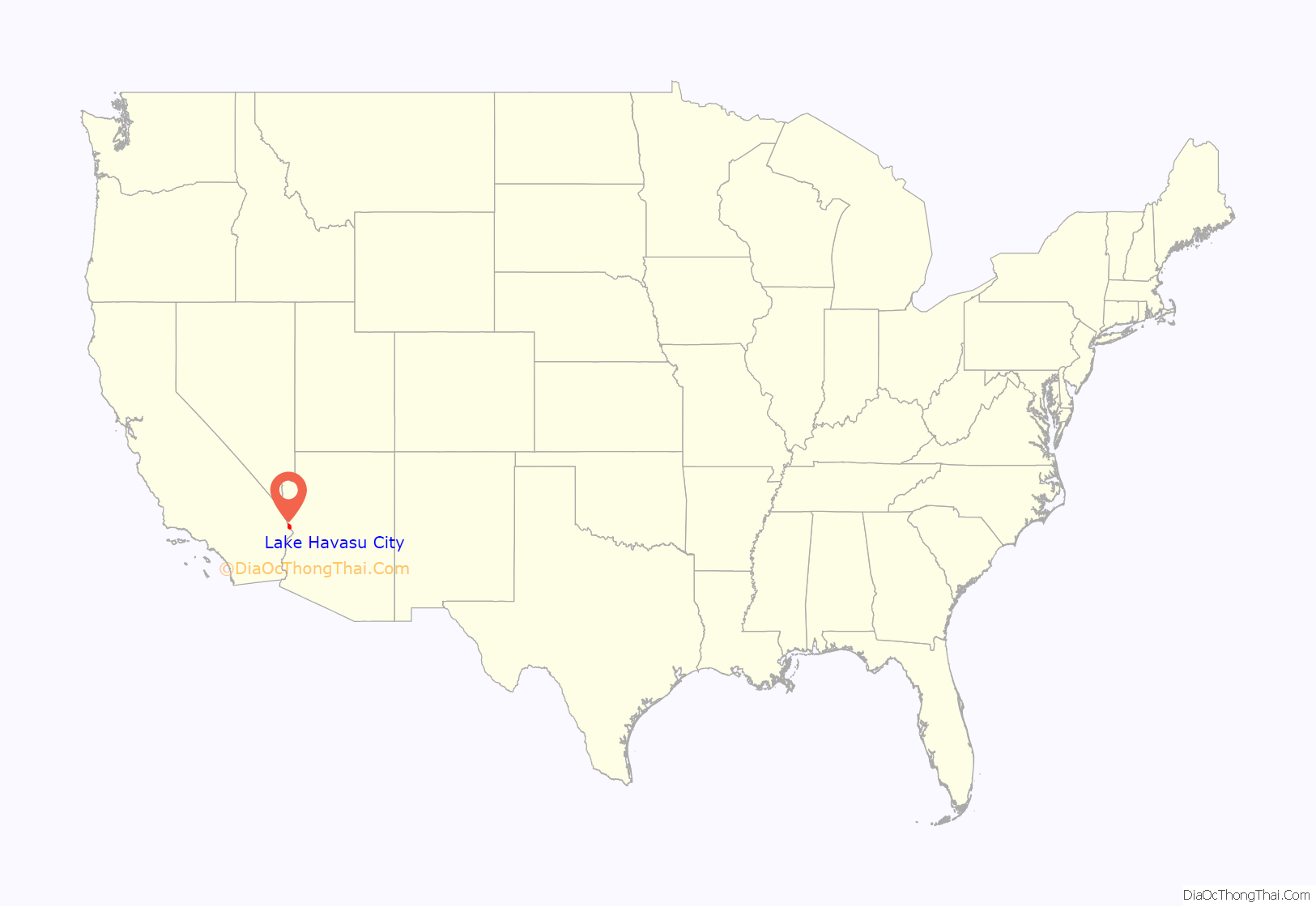
Lake Havasu City location map. Where is Lake Havasu City city?
History
The community first started as an Army Air Corps rest camp, called “Site Six” during World War II, on the shores of Lake Havasu. In 1958, American businessman Robert P. McCulloch purchased 3,353 acres (13.57 km) of property on the east side of the lake along Pittsburgh Point, a peninsula that would eventually be transformed into an island.
After four years of planning, McCulloch Properties acquired another 13,000 acres (5,300 ha) of federal land in the surrounding area. Lake Havasu City was established on September 30, 1963, by a resolution of the Mohave County Board of Supervisors, as the Lake Havasu Irrigation and Drainage District, making it a legal entity (the act is referenced in resolution #63-12-1). The city was incorporated in 1978.
London Bridge
London Bridge crosses the narrow Bridgewater Channel that leads from Lake Havasu (a segment of the Colorado River) to Thompson Bay (also on the river). Hoping to attract tourists and prospective buyers of residential lots, McCulloch bought it for US$2.5 million from the City of London when the bridge was replaced in 1968. The bridge was disassembled on contract with Sundt Construction of Tucson, and the marked stones were shipped to Lake Havasu City and reassembled by Sundt for another US$7 million. The construction took three years to complete.
McCulloch gave an acre of land in Lake Havasu City to London. When Lake Havasu City wanted to use this land for a visitors’ center, London leased it back for a quit rent of a Hopi Kachina figure.
Since its inauguration on October 5, 1971, London Bridge has become the second-largest tourist attraction in Arizona, after the Grand Canyon. In 2017, a panel of experts partnering with USA Today‘s 10Best.com chose London Bridge as one of 20 initial nominees for Best Arizona Attraction. 10Best.com readers voted London Bridge as a top 5 favorite.
Events
Lake Havasu City is an active event destination for a wide range of people. During spring months, the community is joined by university students for spring break. In 1995, Lake Havasu City was featured during MTV’s Spring Break coverage. Attendance during Spring Break has taken a downturn in recent years, as the city has declined to issue permits to the large party organizers.
For boaters, March to September are the prime months on Lake Havasu. The city is also home to the International World Jet Ski Final Races, multiple professional fishing tournaments, custom boat regattas, the Western Winter Blast pyrotechnics convention, Havasu 95 Speedway, the Chilln-n-Swilln Beer Festival annual charity event, the Havasu Triathlon, and the Havasu Balloon Festival & Fair.
During the winter months, the community is joined by retirees from colder regions of the country and Canada. During this period, multiple events are held on McCulloch Boulevard. Typically during the second weekend of February, McCulloch Boulevard is home to Winterfest, an annual event which draws thousands of visitors and residents for two days of food, activities, entertainment, and products from over 200 vendors from across the United States.
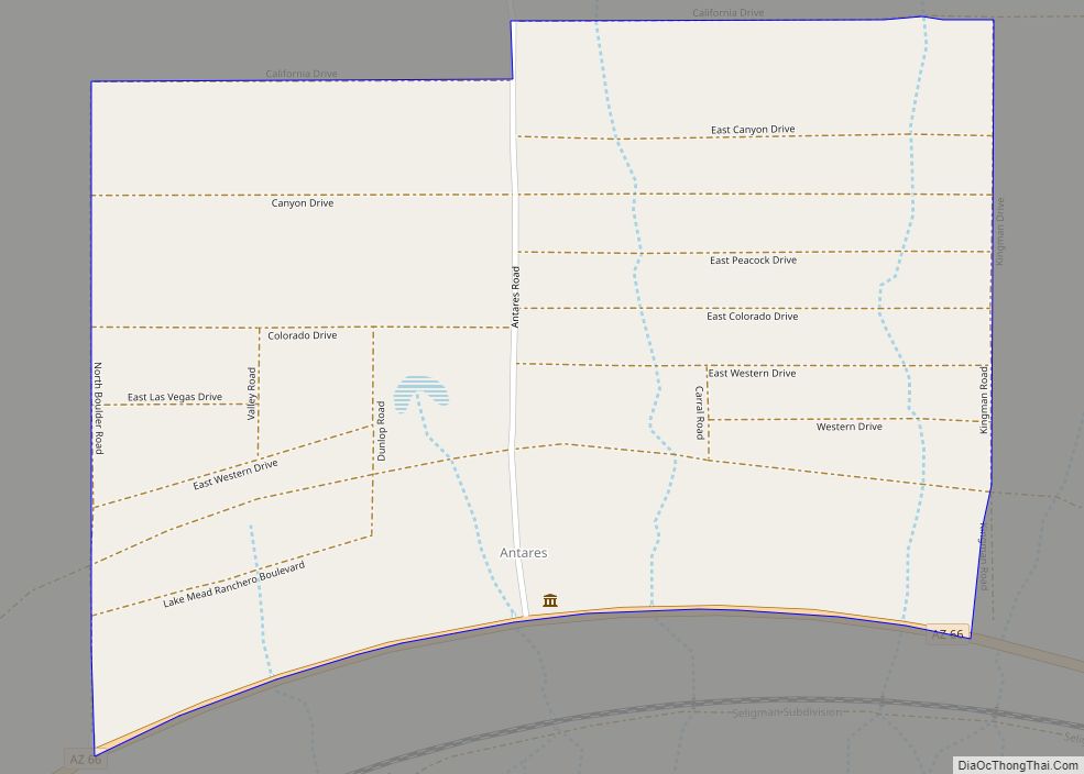
Lake Havasu City Road Map
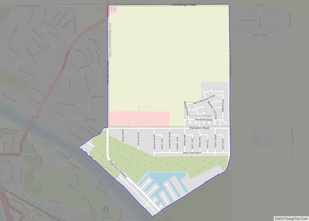
Lake Havasu City city Satellite Map
Geography
Lake Havasu City is located in southwestern Mohave County on the east side of Lake Havasu, a reservoir on the Colorado River, at 34°29′N 114°19′W / 34.483°N 114.317°W / 34.483; -114.317. It is 60 miles (97 km) south of Kingman, the Mohave county seat, and 193 miles (311 km) northwest of Phoenix.
According to the United States Census Bureau, the city has a total area of 46.4 square miles (120 km), of which 0.05 square miles (0.13 km), or 0.10%, are water.
See also
Map of Arizona State and its subdivision: Map of other states:- Alabama
- Alaska
- Arizona
- Arkansas
- California
- Colorado
- Connecticut
- Delaware
- District of Columbia
- Florida
- Georgia
- Hawaii
- Idaho
- Illinois
- Indiana
- Iowa
- Kansas
- Kentucky
- Louisiana
- Maine
- Maryland
- Massachusetts
- Michigan
- Minnesota
- Mississippi
- Missouri
- Montana
- Nebraska
- Nevada
- New Hampshire
- New Jersey
- New Mexico
- New York
- North Carolina
- North Dakota
- Ohio
- Oklahoma
- Oregon
- Pennsylvania
- Rhode Island
- South Carolina
- South Dakota
- Tennessee
- Texas
- Utah
- Vermont
- Virginia
- Washington
- West Virginia
- Wisconsin
- Wyoming
