Morristown is an unincorporated community and census-designated place (CDP) in Maricopa County, Arizona, United States. It is 43 miles (69 km) northwest of Phoenix, at the junction of State Route 74 and U.S. Route 60. As of the 2020 census, it had a population of 186, down from 227 in 2010.
Morristown is home to the Morristown Elementary School District.
The Morristown Store, formerly the Morristown Hotel, is listed on the National Register of Historic Places.
Much of Morristown is within the municipal planning area of Surprise, and Surprise intends to eventually annex the area. The portion of Morristown south of US 60, however, exists in a small area between the planning areas of Surprise, Buckeye and Wickenburg, where neither city has yet expressed a planned interest in expanding. The community is named after Morristown, New Jersey.
Morristown is also known for being the birthplace of famed Internet celebrity cat, Grumpy Cat.
| Name: | Morristown CDP |
|---|---|
| LSAD Code: | 57 |
| LSAD Description: | CDP (suffix) |
| State: | Arizona |
| County: | Maricopa County |
| Elevation: | 1,988 ft (606 m) |
| Total Area: | 0.97 sq mi (2.52 km²) |
| Land Area: | 0.97 sq mi (2.52 km²) |
| Water Area: | 0.00 sq mi (0.00 km²) |
| Total Population: | 186 |
| Population Density: | 191.36/sq mi (73.88/km²) |
| ZIP code: | 85342 |
| FIPS code: | 0447750 |
Online Interactive Map
Click on ![]() to view map in "full screen" mode.
to view map in "full screen" mode.
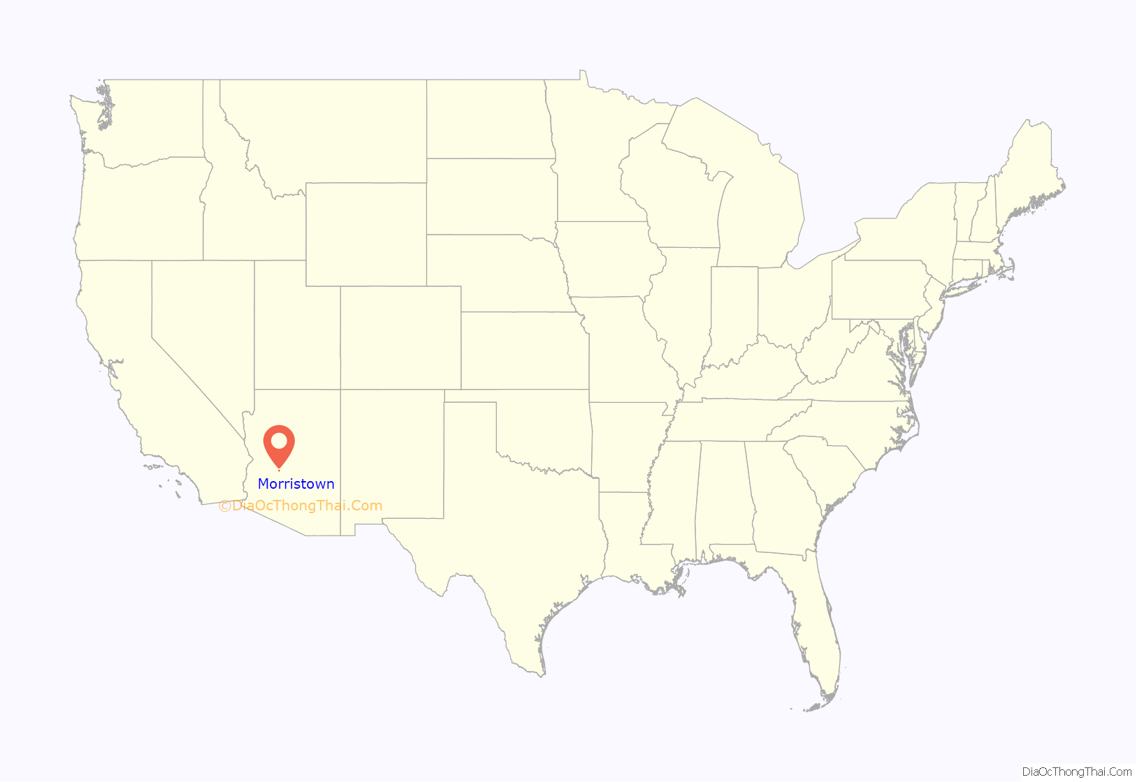
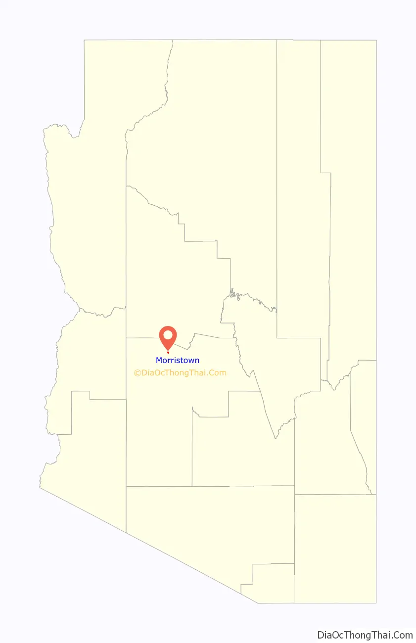
Morristown location map. Where is Morristown CDP?
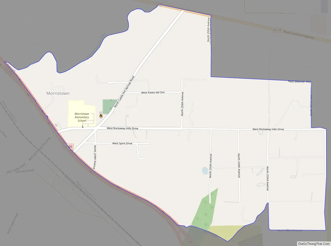
Morristown Road Map
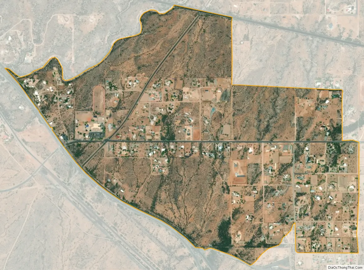
Morristown city Satellite Map
See also
Map of Arizona State and its subdivision: Map of other states:- Alabama
- Alaska
- Arizona
- Arkansas
- California
- Colorado
- Connecticut
- Delaware
- District of Columbia
- Florida
- Georgia
- Hawaii
- Idaho
- Illinois
- Indiana
- Iowa
- Kansas
- Kentucky
- Louisiana
- Maine
- Maryland
- Massachusetts
- Michigan
- Minnesota
- Mississippi
- Missouri
- Montana
- Nebraska
- Nevada
- New Hampshire
- New Jersey
- New Mexico
- New York
- North Carolina
- North Dakota
- Ohio
- Oklahoma
- Oregon
- Pennsylvania
- Rhode Island
- South Carolina
- South Dakota
- Tennessee
- Texas
- Utah
- Vermont
- Virginia
- Washington
- West Virginia
- Wisconsin
- Wyoming


