Oatman is a census-designated place (CDP) in the Black Mountains of Mohave County, Arizona, United States, located at an elevation of 2,710 feet (830 m). It began as a small mining camp when two prospectors struck a $10 million gold find in 1915, though the vicinity had already been settled for a number of years. Oatman’s population grew to more than 3,500 in the course of a year. As of the 2020 census, its population was 102.
| Name: | Oatman CDP |
|---|---|
| LSAD Code: | 57 |
| LSAD Description: | CDP (suffix) |
| State: | Arizona |
| County: | Mohave County |
| Elevation: | 2,710 ft (826 m) |
| Total Area: | 0.19 sq mi (0.50 km²) |
| Land Area: | 0.19 sq mi (0.50 km²) |
| Water Area: | 0.00 sq mi (0.00 km²) |
| Total Population: | 102 |
| Population Density: | 531.25/sq mi (205.08/km²) |
| ZIP code: | 86433 |
| FIPS code: | 0450620 |
Online Interactive Map
Click on ![]() to view map in "full screen" mode.
to view map in "full screen" mode.
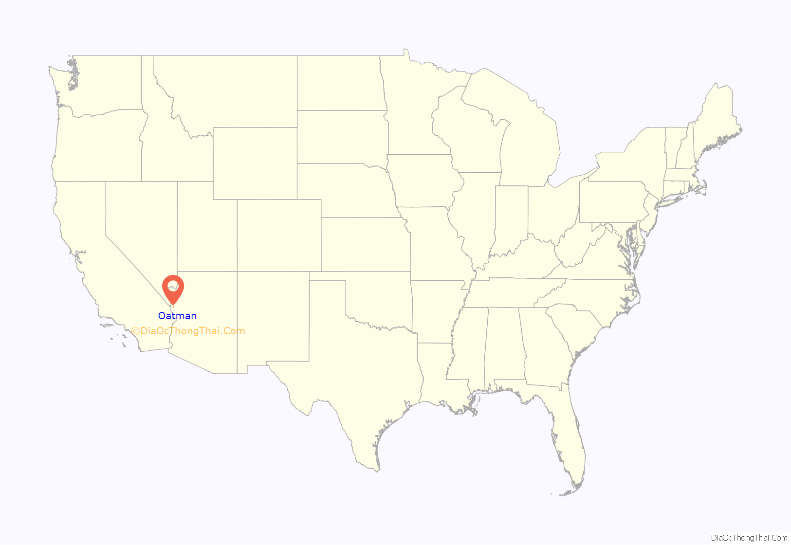
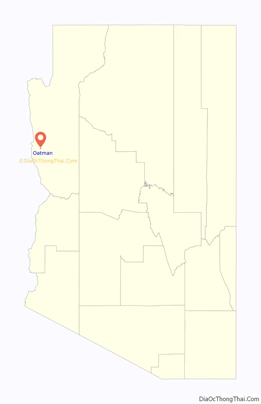
Oatman location map. Where is Oatman CDP?
History
The name Oatman was chosen in honor of Olive Oatman, a young Illinois girl who was captured and enslaved by Indians, probably from the Tolkepayas tribe, during her pioneer family’s massacre while on their journey westward in 1851. She was later sold or traded to the Mohave people, who adopted her and tattooed her face in the custom of the tribe. She was released in 1856 at Fort Yuma.
In 1863, prospector Johnny Moss discovered gold in the Black Mountains and staked several claims, one named the Moss after himself and another after Olive Oatman, whose story was well known. For the next half-century, mining waxed and waned in the remote district until new technology, reduced transportation costs, and new gold discoveries brought prosperity to Oatman in the early 20th century. The opening of the Tom Reed mine, followed by the discovery of a rich ore body in the nearby United Eastern Mining Company’s property in 1915, brought one of the desert’s last gold rushes. The boom of 1915–17 gave Oatman all the characters and characteristics of any gold rush boomtown. For about a decade, the mines of Oatman were among the largest gold producers in the American West.
In 1921, a fire burned down many of Oatman’s smaller buildings, but spared the Oatman Hotel built in 1902. It remains the oldest two-story adobe structure in Mohave County and is a Mohave County historical landmark. One of the hotel’s major attractions is a room designated as the suite where Clark Gable and Carole Lombard supposedly spent their honeymoon after their 1939 wedding in Kingman, Arizona. In actuality, Gable and Lombard returned directly to Los Angeles after their wedding for a press conference the next morning and did not take a honeymoon until much later in Baja California.
In 1924, the town’s main employer, United Eastern Mines, permanently shut down its operations after producing US$13,600,000 (equivalent to $215,038,447 in 2021) worth of gold at the government-controlled market value of $20 per ounce. The district had produced US$40,000,000 (equivalent to $736,923,000 in 2021) in gold by 1941, when the remainder of the town’s gold mining operations were ordered shut down by the government as part of the country’s war effort, because other metals were needed. Oatman was fortunate it was located on busy U.S. Route 66 and was able to cater to travelers driving between Kingman, Arizona, and Needles, California. Yet even that advantage was short-lived, because the town was completely bypassed in 1953 when a new route was built between Kingman and Needles. By the 1960s, Oatman was all but abandoned. As of 2022, the town survives as a nostalgic Route 66 stop that prides itself on maintaining a Wild West feel down to the wooden sidewalks, staged shootouts, and kitschy shops.
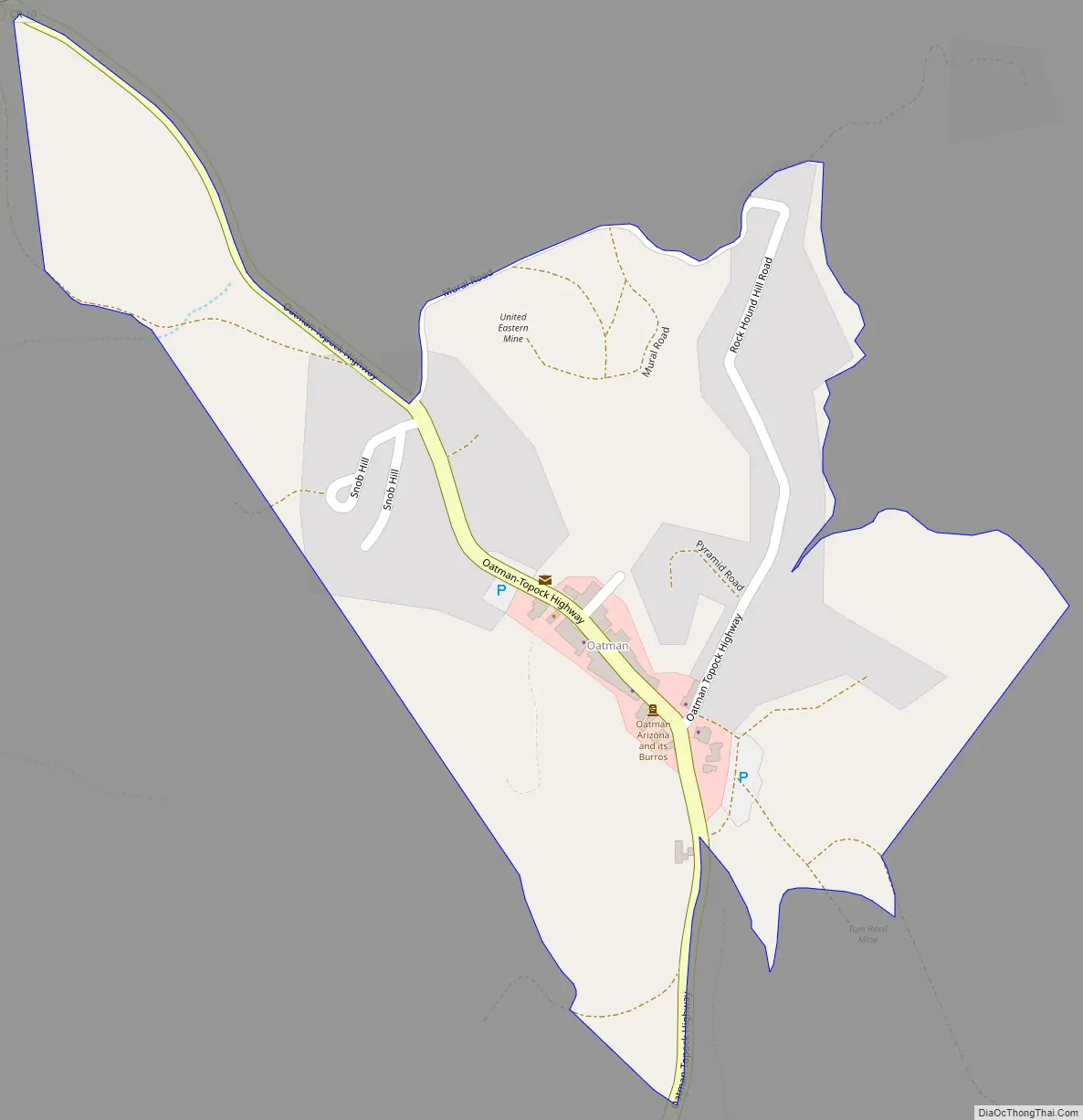
Oatman Road Map
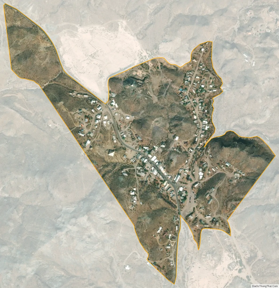
Oatman city Satellite Map
See also
Map of Arizona State and its subdivision: Map of other states:- Alabama
- Alaska
- Arizona
- Arkansas
- California
- Colorado
- Connecticut
- Delaware
- District of Columbia
- Florida
- Georgia
- Hawaii
- Idaho
- Illinois
- Indiana
- Iowa
- Kansas
- Kentucky
- Louisiana
- Maine
- Maryland
- Massachusetts
- Michigan
- Minnesota
- Mississippi
- Missouri
- Montana
- Nebraska
- Nevada
- New Hampshire
- New Jersey
- New Mexico
- New York
- North Carolina
- North Dakota
- Ohio
- Oklahoma
- Oregon
- Pennsylvania
- Rhode Island
- South Carolina
- South Dakota
- Tennessee
- Texas
- Utah
- Vermont
- Virginia
- Washington
- West Virginia
- Wisconsin
- Wyoming


