Prescott Valley is a town located in Yavapai County, Arizona, United States, approximately 8 miles (13 km) east of Prescott. According to the 2020 United States Census, Prescott Valley has a population of 46,785 residents.
| Name: | Prescott Valley town |
|---|---|
| LSAD Code: | 43 |
| LSAD Description: | town (suffix) |
| State: | Arizona |
| County: | Yavapai County |
| Elevation: | 5,026 ft (1,532 m) |
| Land Area: | 40.47 sq mi (104.80 km²) |
| Water Area: | 0.00 sq mi (0.00 km²) |
| Population Density: | 1,156.18/sq mi (446.40/km²) |
| ZIP code: | 86312, 86314, 86315 |
| Area code: | 928 |
| FIPS code: | 0457450 |
| GNISfeature ID: | 33193 |
| Website: | http://www.prescottvalley-az.gov |
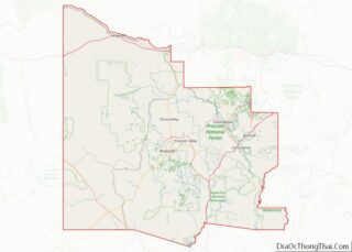
Online Interactive Map
Click on ![]() to view map in "full screen" mode.
to view map in "full screen" mode.
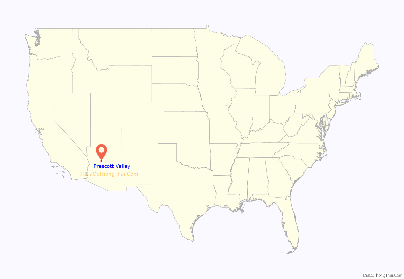
Prescott Valley location map. Where is Prescott Valley town?
History
Prescott Valley’s Fitzmaurice Ruins contain artifacts from the early Mountain Patayan people who inhabited the area some 1,400 years ago. The Walker Party discovered gold along Lynx Creek in 1863. The Lynx Creek placers went on to produce a recorded 29,000 troy ounces (900 kg) of gold. Estimates of actual production range up to 80,000 troy ounces (2,500 kg), which would be worth about $138 million at 2020 prices.
Prescott Valley, formerly known as Lonesome Valley, was settled by ranchers in the 1880s, raising beef to supply the miners and new settlers. The Fain family, pioneer ranchers, still ranch in the valley.
Thomas Gibson Barlow-Massicks arrived in the area in the early 1890s and built the historic “castle” that still stands in Fain Park. Massicks had a hydraulic gold mining operation in Lynx Creek Canyon and built the company mining camp of Massicks, Arizona just east of his Victorian home, the castle. The fireplace with chimney just inside the castle’s fence is all that remains of the Massicks store. Massicks accidentally shot himself and died in April 1899 at the age of 37. In the 1930s, there was a gold dredging operation, the Doodle Bug Diggings, farther east in Lynx Creek Canyon.
In the mid-1960s, Prescott Valley Incorporated, a real-estate company from Phoenix, purchased land in an area 10 miles east of Prescott known as Lonesome Valley. In 1966, representatives from Prescott Valley Inc. began traveling to the Midwest to sell home lots. By 1978, more than 1,500 residents were living in the unincorporated area now known as Prescott Valley. In 1978, 80 percent of the voters of Prescott Valley voted for incorporation as a town. The Town celebrated its 40th anniversary during 2018.
In 1985, Prescott Valley got its first licensed radio station. The station was the first solar powered FM station in the United States. Today, Arizona’s Hometown Radio Group has grown to seven stations throughout Arizona.
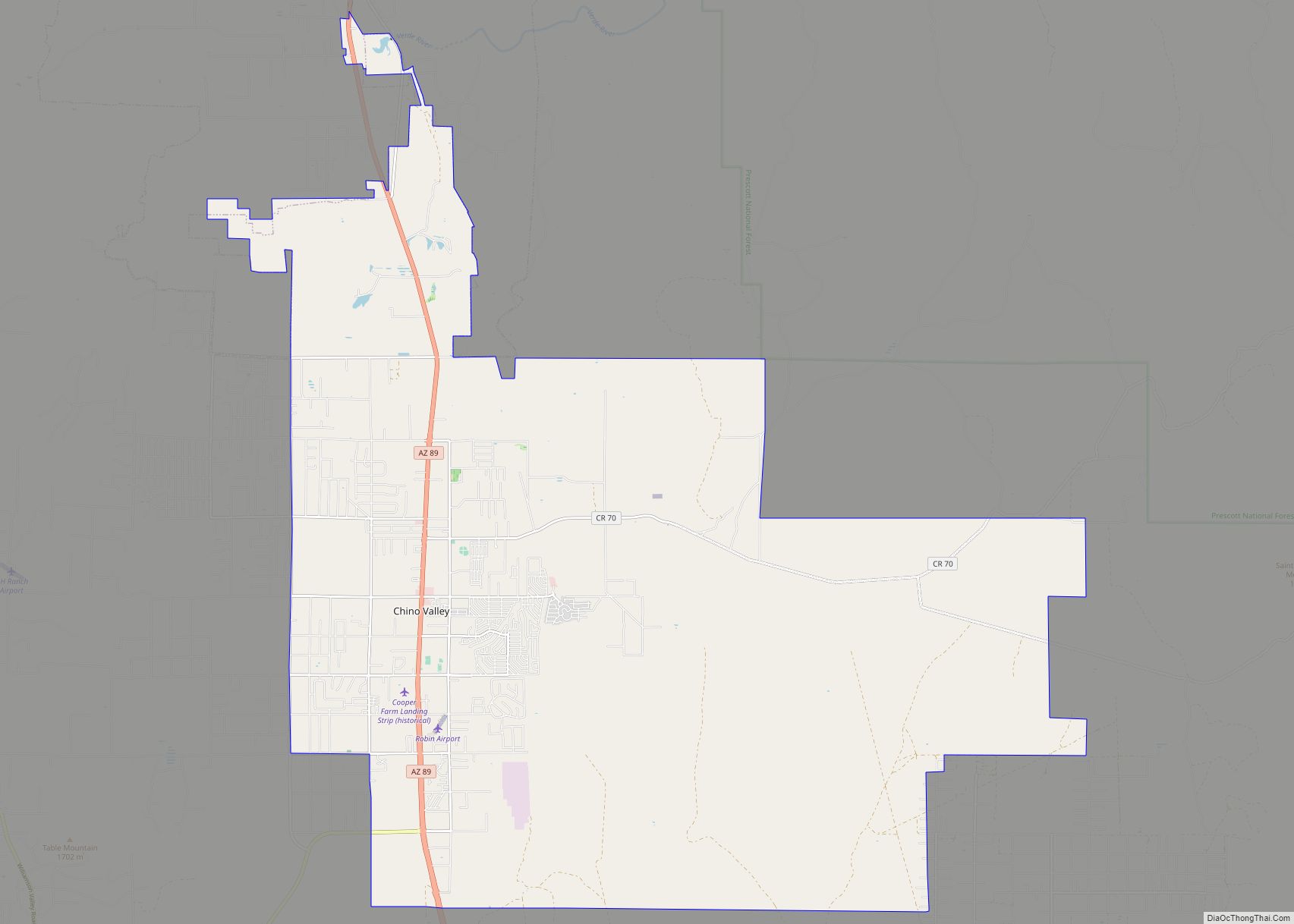
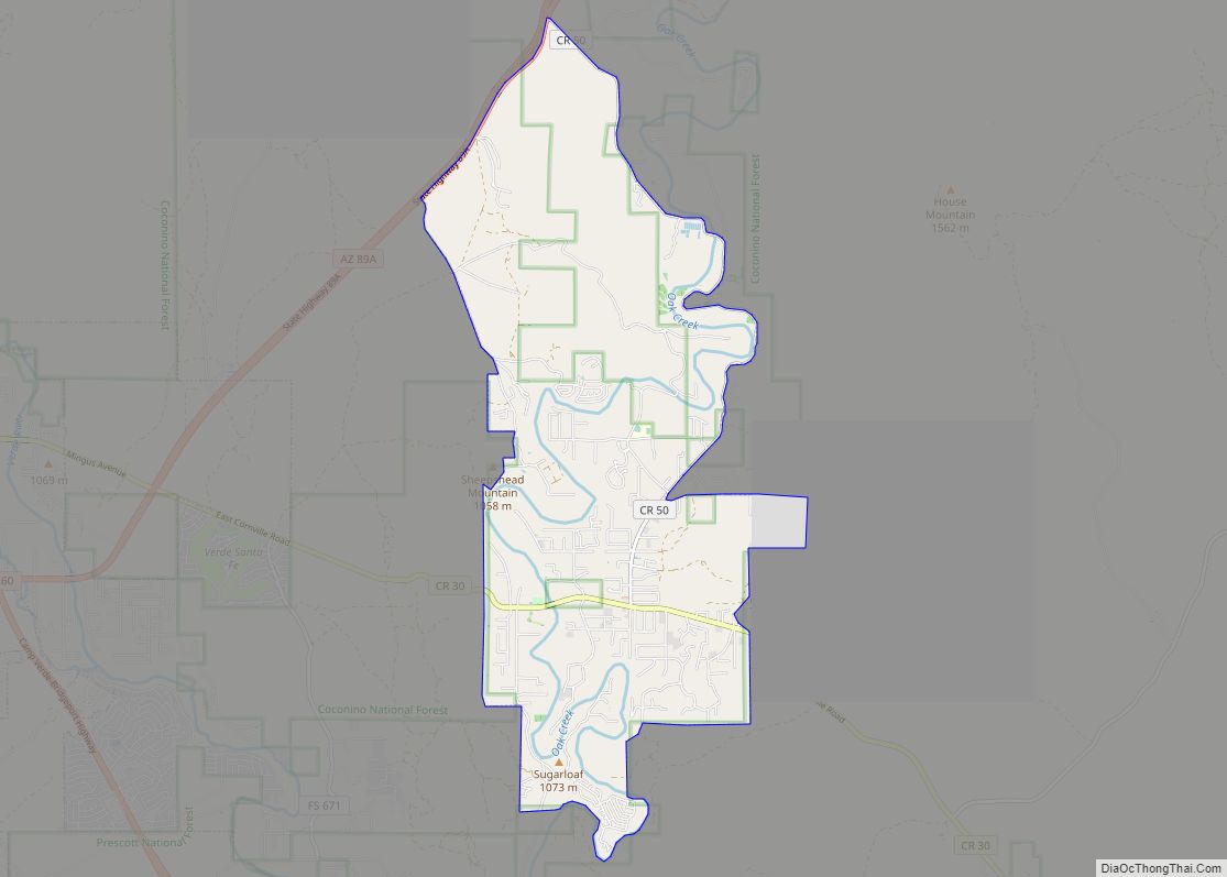
Prescott Valley Road Map
Prescott Valley city Satellite Map
Geography
Prescott Valley (locally, PV) is located in central Arizona approximately 85 miles (137 km) north of Phoenix at 5,100 feet (1,600 m). elevation. PV has good access to Arizona State Route 89, SR-89A and SR-69, connecting to Interstates 17 and 40. Air service is available at Ernest A. Love Field, approximately 8 miles (13 km) northwest.
One of PV’s landmarks, Glassford Hill (elevation 6,177 feet (1,883 m)) was an active volcano between 10 and 14 million years ago. Colonel William A. Glassford traveled the area in the 1880s and helped build a system of 27 heliograph stations to monitor the movements of Apache Indians, U.S. military troops and civilians. Glassford Hill was a part of that early communications system.
See also
Map of Arizona State and its subdivision: Map of other states:- Alabama
- Alaska
- Arizona
- Arkansas
- California
- Colorado
- Connecticut
- Delaware
- District of Columbia
- Florida
- Georgia
- Hawaii
- Idaho
- Illinois
- Indiana
- Iowa
- Kansas
- Kentucky
- Louisiana
- Maine
- Maryland
- Massachusetts
- Michigan
- Minnesota
- Mississippi
- Missouri
- Montana
- Nebraska
- Nevada
- New Hampshire
- New Jersey
- New Mexico
- New York
- North Carolina
- North Dakota
- Ohio
- Oklahoma
- Oregon
- Pennsylvania
- Rhode Island
- South Carolina
- South Dakota
- Tennessee
- Texas
- Utah
- Vermont
- Virginia
- Washington
- West Virginia
- Wisconsin
- Wyoming
