Sierra Vista Southeast, often referred to as Hereford or Nicksville, is a census-designated place (CDP) in Cochise County, Arizona, United States. The population was 14,797 at the 2010 census. It includes the neighborhoods Ramsey Canyon, and Sierra Vista Estates within its boundaries.
| Name: | Sierra Vista Southeast CDP |
|---|---|
| LSAD Code: | 57 |
| LSAD Description: | CDP (suffix) |
| State: | Arizona |
| County: | Cochise County |
| Total Area: | 110.91 sq mi (287.26 km²) |
| Land Area: | 110.89 sq mi (287.21 km²) |
| Water Area: | 0.02 sq mi (0.05 km²) |
| Total Population: | 14,428 |
| Population Density: | 130.11/sq mi (50.24/km²) |
| FIPS code: | 0466845 |
| GNISfeature ID: | 2408736 |
Online Interactive Map
Click on ![]() to view map in "full screen" mode.
to view map in "full screen" mode.
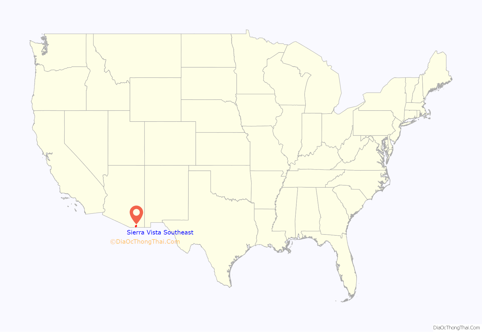
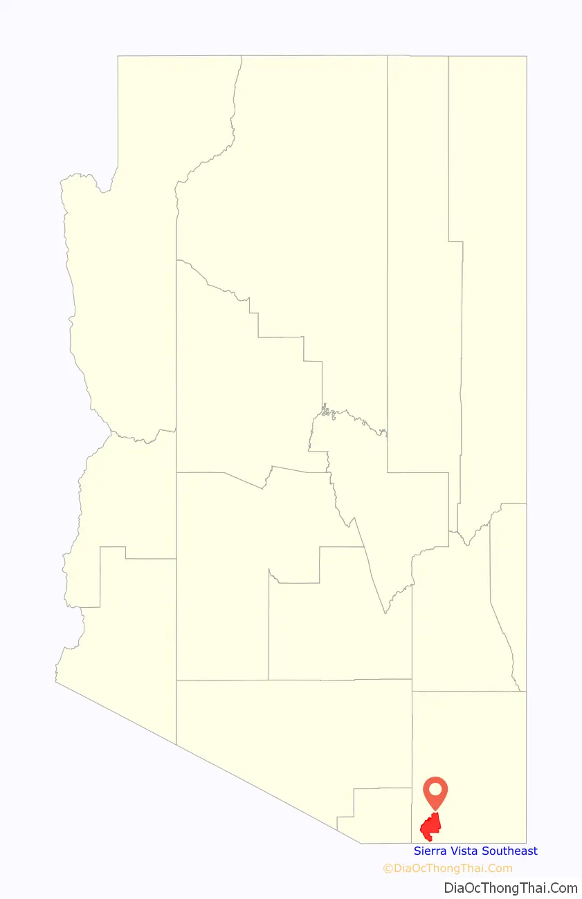
Sierra Vista Southeast location map. Where is Sierra Vista Southeast CDP?
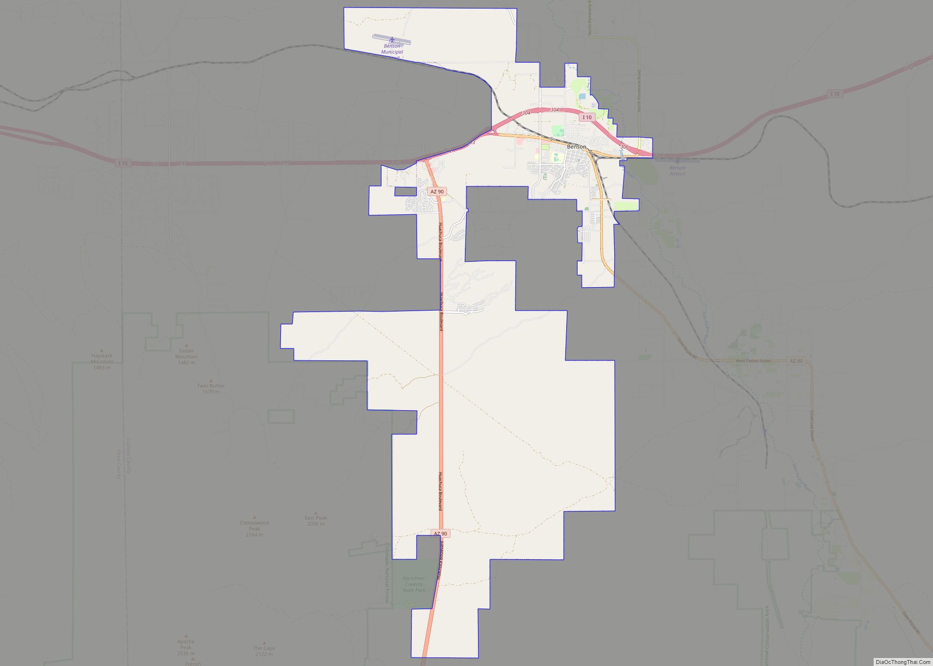
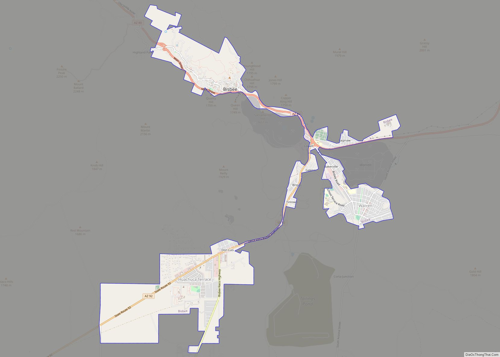
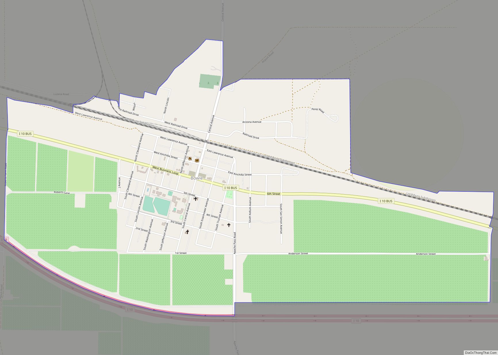
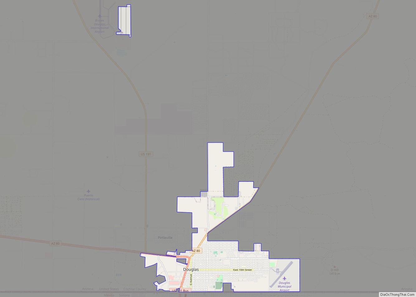
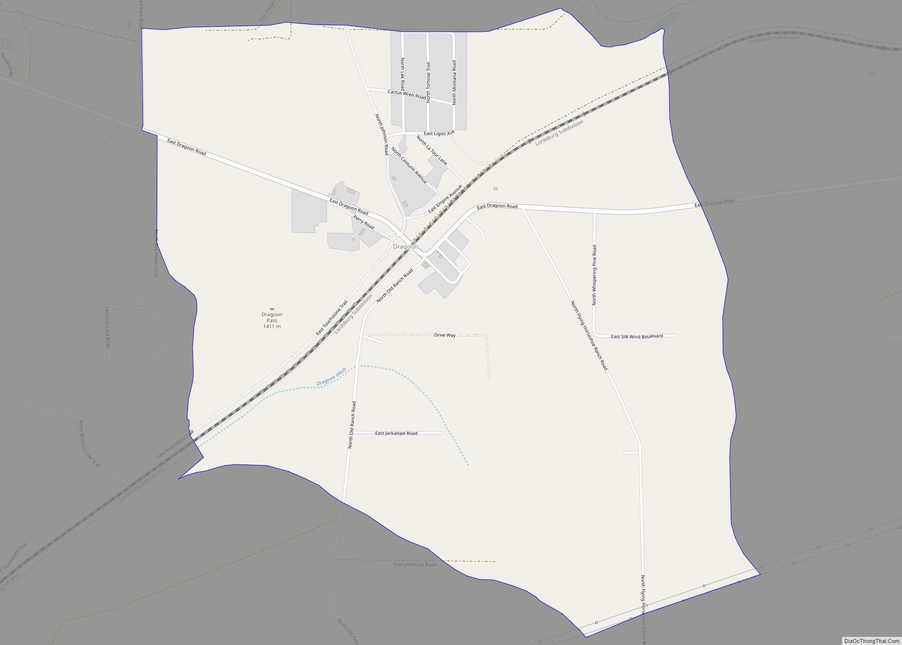
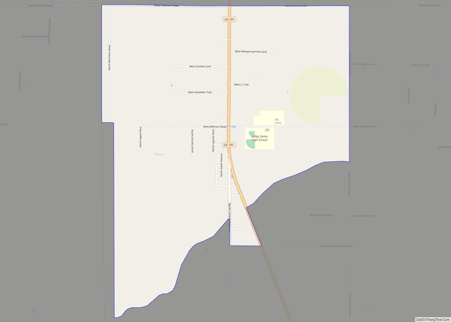
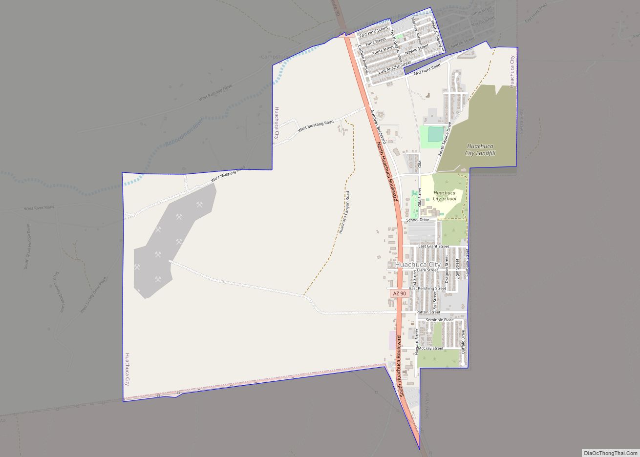
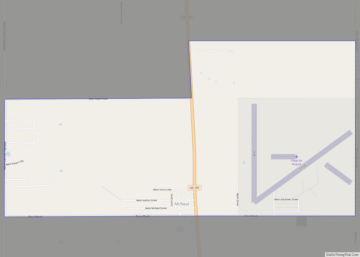
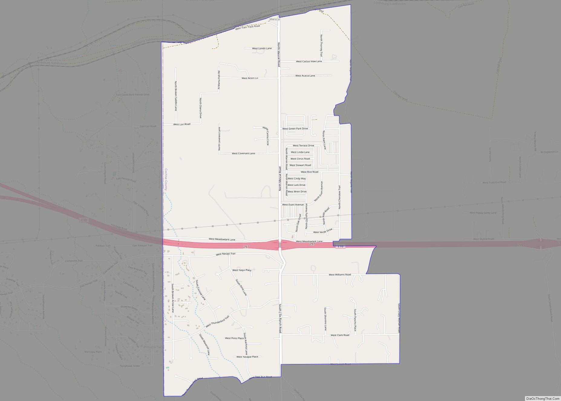
Sierra Vista Southeast Road Map

Sierra Vista Southeast city Satellite Map

Geography
Sierra Vista Southeast is located at 31°29′18″N 110°13′56″W / 31.48833°N 110.23222°W / 31.48833; -110.23222 (31.488261, -110.232126).
According to the United States Census Bureau, the CDP has a total area of 112.3 square miles (290.8 km), all land.
Climate
In the Köppen climate classification system, Sierra Vista Southeast falls within the typical cold semi-arid climate (BSk) of mid-altitude Arizona. Fall and spring, like most other parts of Arizona, are very dry. Winters are cool to cold with frosts which can occasionally be hard freezes; frost can be expected to stop in mid- to late April. Spring, like fall, spends about half of itself within the frost season. Summer starts off dry, but progressively gets wetter as the monsoon season approaches. The city has a fairly stable climate with very little humidity. However, the North American Monsoon can bring torrential rains during the months of July and August and will produce almost half the yearly rainfall in just those two months alone. Due to the dry climate the rest of the year and the CDP’s high elevation, daily winter low temperatures range from 20 to 30 °F (−6.7 to −1.1 °C) on average and up to 50 °F (10.0 °C) on rare occasions when moist fronts bring warm air from the Gulf of California. Snow is not a common sight in the CDP, though some years the city can receive several inches of snow and other years it will receive none. However, a snow-capped Miller Peak and Carr Peak in the Huachuca Mountains is a common sight for four to five months every year.
See also
Map of Arizona State and its subdivision: Map of other states:- Alabama
- Alaska
- Arizona
- Arkansas
- California
- Colorado
- Connecticut
- Delaware
- District of Columbia
- Florida
- Georgia
- Hawaii
- Idaho
- Illinois
- Indiana
- Iowa
- Kansas
- Kentucky
- Louisiana
- Maine
- Maryland
- Massachusetts
- Michigan
- Minnesota
- Mississippi
- Missouri
- Montana
- Nebraska
- Nevada
- New Hampshire
- New Jersey
- New Mexico
- New York
- North Carolina
- North Dakota
- Ohio
- Oklahoma
- Oregon
- Pennsylvania
- Rhode Island
- South Carolina
- South Dakota
- Tennessee
- Texas
- Utah
- Vermont
- Virginia
- Washington
- West Virginia
- Wisconsin
- Wyoming