Sun Lakes is an unincorporated community and census-designated place (CDP) in Maricopa County, Arizona, United States. The population was 14,868 at the 2020 census. Sun Lakes is an active adult community comprising five country club communities in three homeowner associations. These include the gated communities of Oakwood and IronWood (IronOaks), the gated and non-gated communities of Palo Verde and Cottonwood (Cottonwood Palo Verde), and the non-gated community of Sun Lakes 1. Sun Lakes is a master-planned community developed by Robson Communities.
| Name: | Sun Lakes CDP |
|---|---|
| LSAD Code: | 57 |
| LSAD Description: | CDP (suffix) |
| State: | Arizona |
| County: | Maricopa County |
| Elevation: | 1,194 ft (364 m) |
| Total Area: | 5.40 sq mi (13.98 km²) |
| Land Area: | 5.38 sq mi (13.92 km²) |
| Water Area: | 0.02 sq mi (0.06 km²) |
| Total Population: | 14,868 |
| Population Density: | 2,766.14/sq mi (1,068.00/km²) |
| ZIP code: | 85248 |
| Area code: | 480 |
| FIPS code: | 0470530 |
| GNISfeature ID: | 25113 |
Online Interactive Map
Click on ![]() to view map in "full screen" mode.
to view map in "full screen" mode.
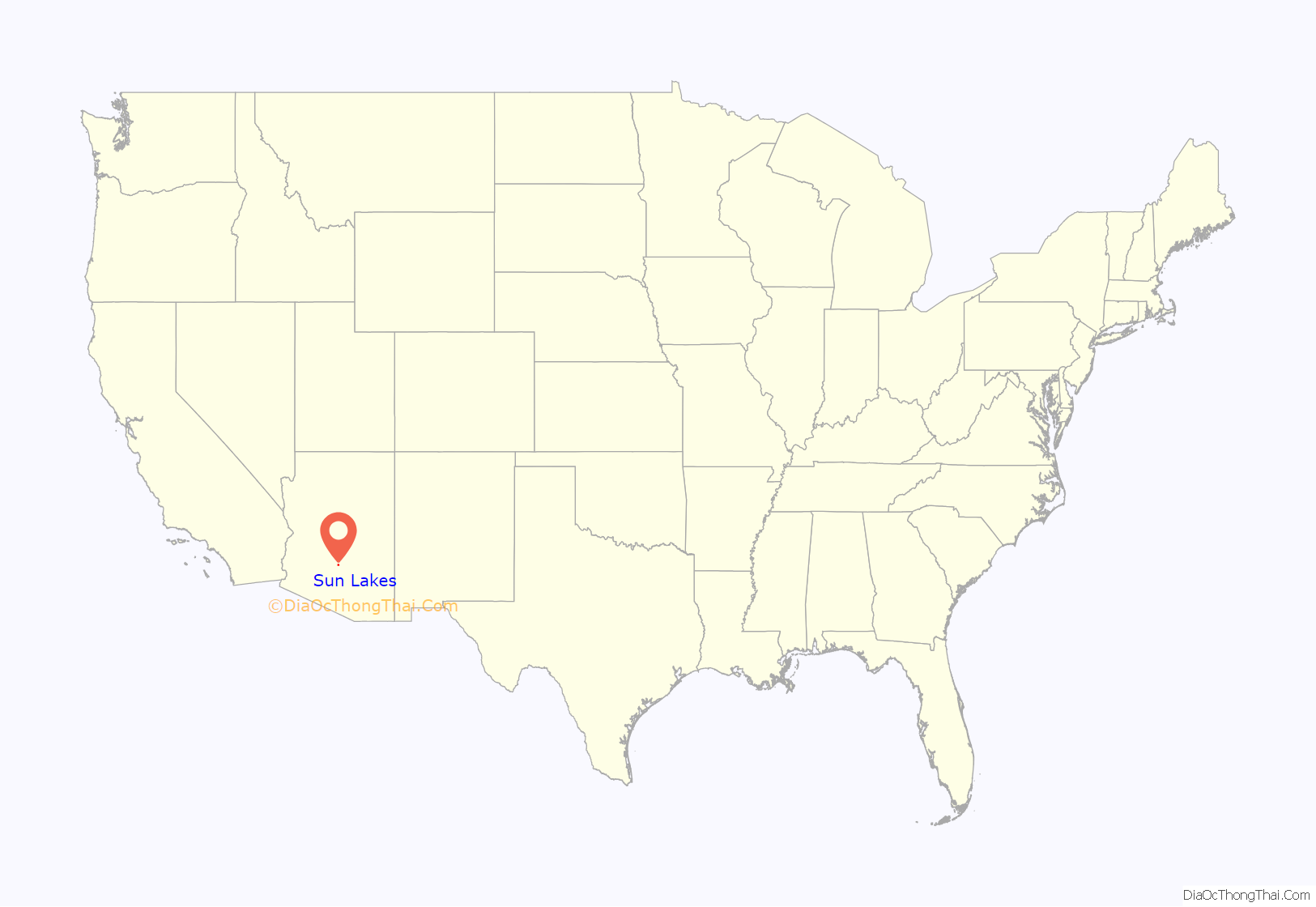
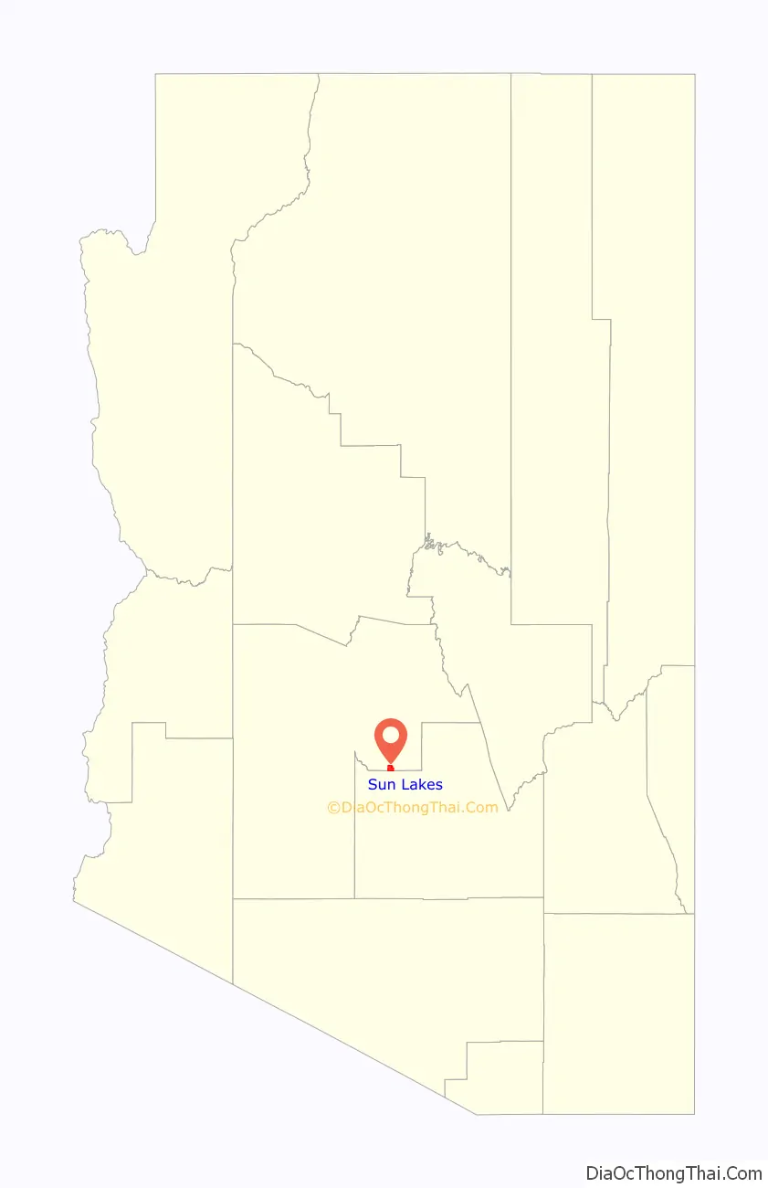
Sun Lakes location map. Where is Sun Lakes CDP?
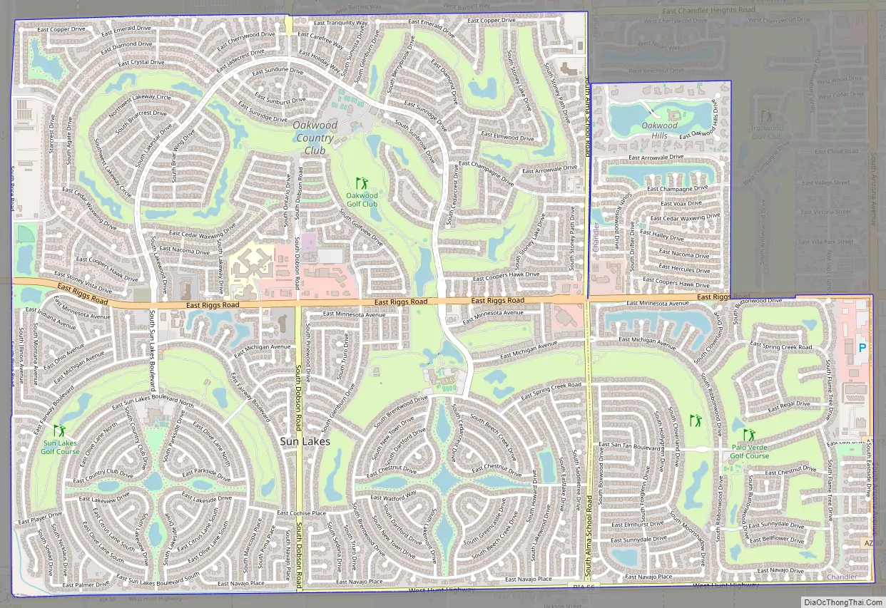
Sun Lakes Road Map
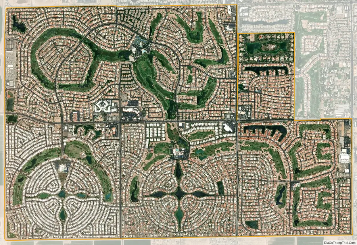
Sun Lakes city Satellite Map
Geography
Sun Lakes is located along the southeastern border of Maricopa County at 33°12′53″N 111°52′12″W / 33.21472°N 111.87000°W / 33.21472; -111.87000 (33.214686, -111.869966). It is bordered to the north and east by the city of Chandler and to the south by unincorporated Goodyear Village in Pinal County. Sun Lakes is 2.5 miles (4 km) east of Interstate 10 and 25 miles (40 km) southwest of downtown Phoenix.
According to the United States Census Bureau, the CDP has a total area of 5.4 square miles (14 km), of which 0.02 square miles (0.05 km), or 0.41%, are water.
See also
Map of Arizona State and its subdivision: Map of other states:- Alabama
- Alaska
- Arizona
- Arkansas
- California
- Colorado
- Connecticut
- Delaware
- District of Columbia
- Florida
- Georgia
- Hawaii
- Idaho
- Illinois
- Indiana
- Iowa
- Kansas
- Kentucky
- Louisiana
- Maine
- Maryland
- Massachusetts
- Michigan
- Minnesota
- Mississippi
- Missouri
- Montana
- Nebraska
- Nevada
- New Hampshire
- New Jersey
- New Mexico
- New York
- North Carolina
- North Dakota
- Ohio
- Oklahoma
- Oregon
- Pennsylvania
- Rhode Island
- South Carolina
- South Dakota
- Tennessee
- Texas
- Utah
- Vermont
- Virginia
- Washington
- West Virginia
- Wisconsin
- Wyoming


