Superior (Western Apache: Yooʼ Łigai) is a town in Pinal County, Arizona. According to the 2020 census, the population of the town is 2,407. Superior was founded as a mining town for the Silver King and the later Magma mines; silver was mined at first, and then transitioned to copper. Currently, exploitation of the huge Resolution Copper deposit is being explored.
| Name: | Superior town |
|---|---|
| LSAD Code: | 43 |
| LSAD Description: | town (suffix) |
| State: | Arizona |
| County: | Pinal County |
| Incorporated: | 1976 |
| Elevation: | 2,888 ft (880 m) |
| Total Area: | 1.96 sq mi (5.08 km²) |
| Land Area: | 1.96 sq mi (5.08 km²) |
| Water Area: | 0.00 sq mi (0.00 km²) |
| Total Population: | 2,407 |
| Population Density: | 1,226.18/sq mi (473.48/km²) |
| ZIP code: | 85173 |
| Area code: | 520 |
| FIPS code: | 0471300 |
| GNISfeature ID: | 34981 |
| Website: | www.superioraz.gov |
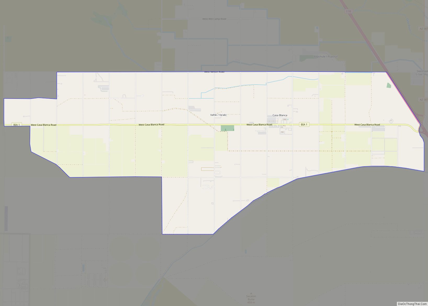
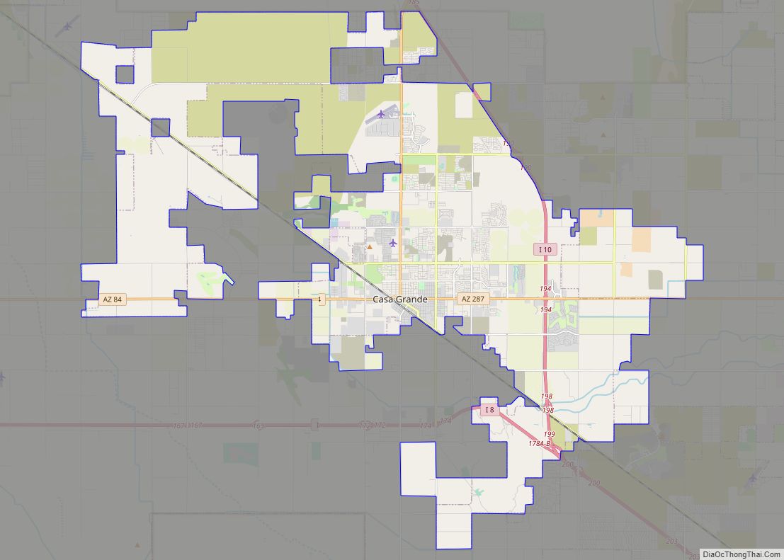
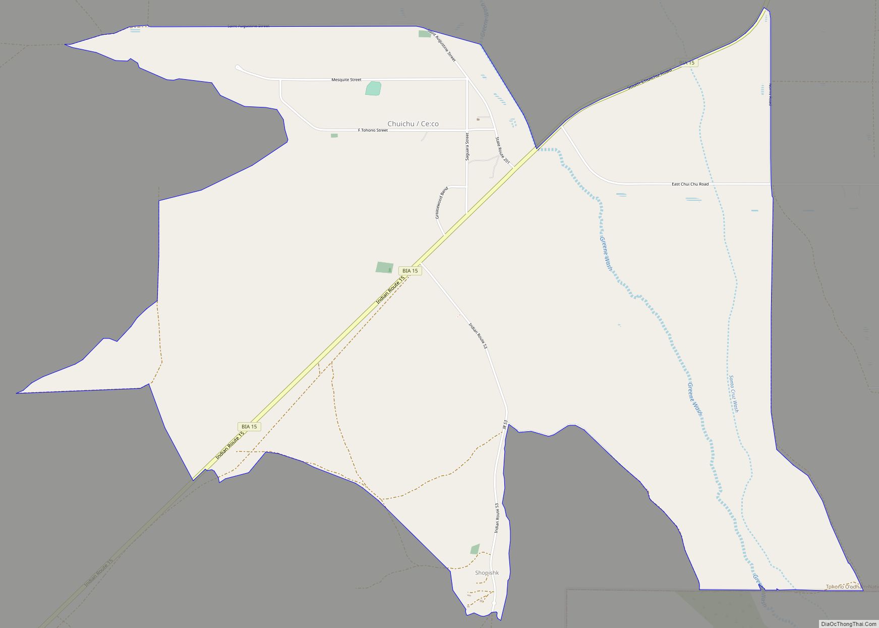
Online Interactive Map
Click on ![]() to view map in "full screen" mode.
to view map in "full screen" mode.
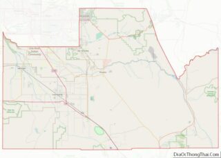
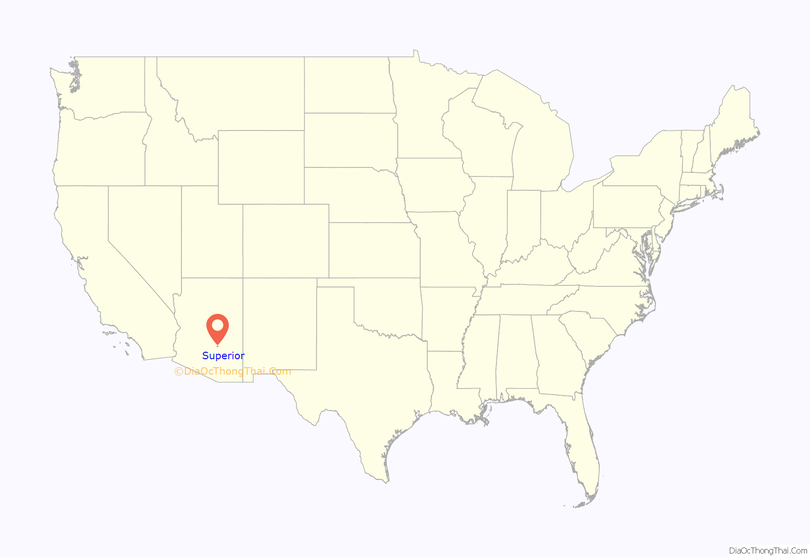
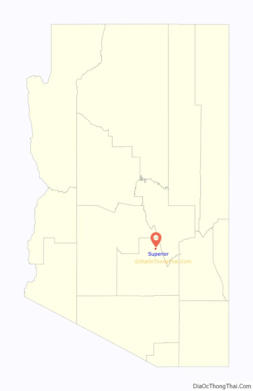
Superior location map. Where is Superior town?
History
Like nearby Globe, Ray, and Clifton, Arizona, Superior was once part of a huge Apache reservation, but after silver and copper deposits were discovered, those areas were withdrawn from the reservation and returned to the public domain.
In 1872, at the height of the American Indian Wars, a band of raiding Apache horsemen were ambushed by a United States Cavalry force from Picket Post Mountain. After losing 50 men, the Apache retreated up the mountain later named “Apache Leap”. According to local legend, the remaining Apache accepted defeat and leapt to their death rather than being captured by the cavalry, thus giving the mountain its name.
Superior was originally called Queen, then Hastings, and under the latter name was platted in 1900.
Queen had a population of around 100 circa 1880. There was a general store, 2 hotels, numerous saloons, and a post office. The Queen post office closed Sept. 15, 1881.
The Superior townsite was laid out in 1902, and named after the Lake Superior and Arizona Copper Company (LS&A). The Superior post office opened on December 29, 1902.
By 1950, before the United States Supreme Court’s Brown v. Board of Education decision, schools in Superior segregated Anglo and Mexican students.
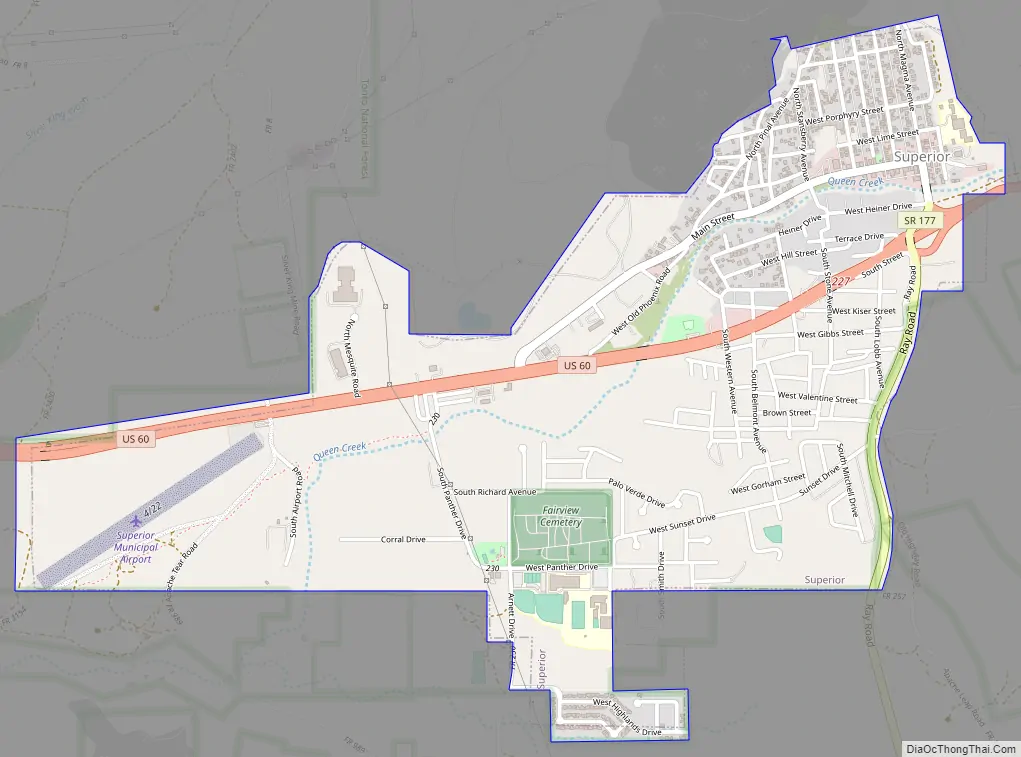
Superior Road Map
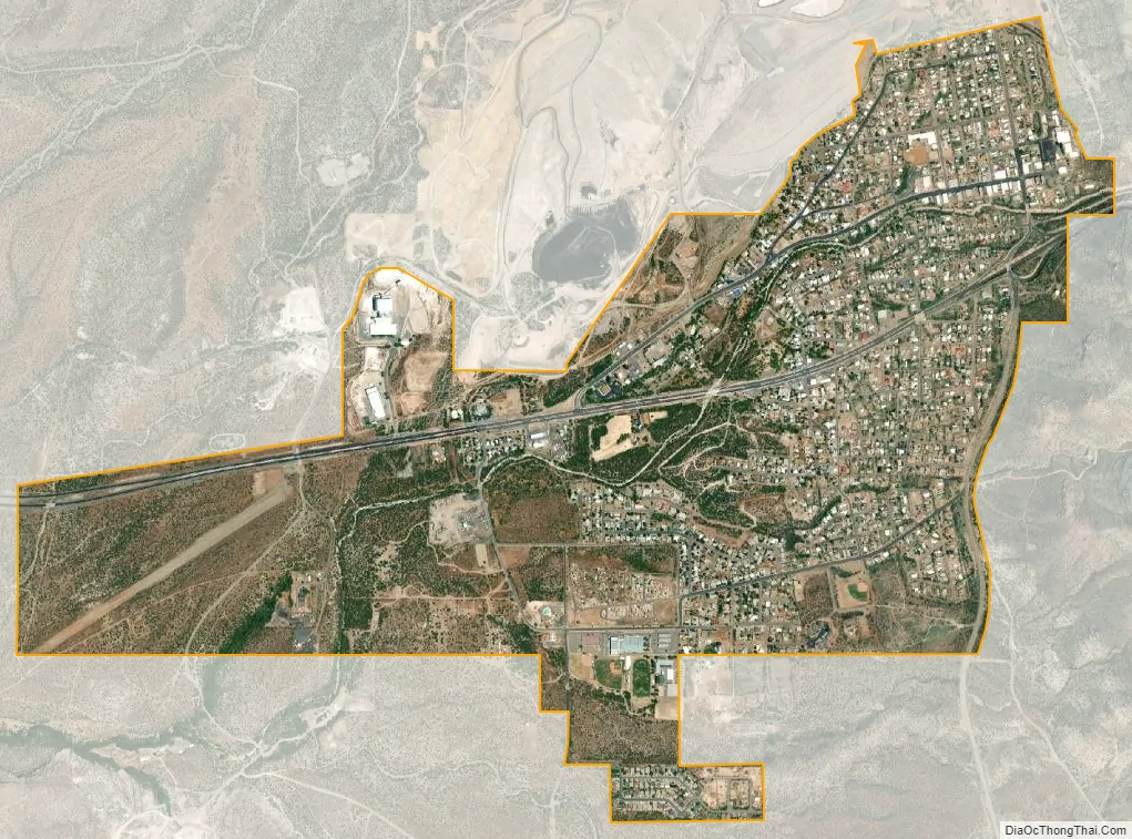
Superior city Satellite Map
Geography
Superior is located approximately 70 miles (110 km) east of Phoenix and the same distance north of Tucson. According to the United States Census Bureau, the town has a total area of 1.9 sq mi (5.0 km), all land.
See also
Map of Arizona State and its subdivision: Map of other states:- Alabama
- Alaska
- Arizona
- Arkansas
- California
- Colorado
- Connecticut
- Delaware
- District of Columbia
- Florida
- Georgia
- Hawaii
- Idaho
- Illinois
- Indiana
- Iowa
- Kansas
- Kentucky
- Louisiana
- Maine
- Maryland
- Massachusetts
- Michigan
- Minnesota
- Mississippi
- Missouri
- Montana
- Nebraska
- Nevada
- New Hampshire
- New Jersey
- New Mexico
- New York
- North Carolina
- North Dakota
- Ohio
- Oklahoma
- Oregon
- Pennsylvania
- Rhode Island
- South Carolina
- South Dakota
- Tennessee
- Texas
- Utah
- Vermont
- Virginia
- Washington
- West Virginia
- Wisconsin
- Wyoming