Tolleson /ˈtɒlɪsən/ is a city in Maricopa County, Arizona, United States. According to the U.S. Census Bureau, the population of the city was 7,216 as of the 2020 census, up from 6,545 in 2010.
| Name: | Tolleson city |
|---|---|
| LSAD Code: | 25 |
| LSAD Description: | city (suffix) |
| State: | Arizona |
| County: | Maricopa County |
| Elevation: | 1,014 ft (309 m) |
| Total Area: | 5.73 sq mi (14.85 km²) |
| Land Area: | 5.73 sq mi (14.85 km²) |
| Water Area: | 0.00 sq mi (0.00 km²) |
| Total Population: | 7,216 |
| Population Density: | 1,258.68/sq mi (485.94/km²) |
| ZIP code: | 85353 |
| Area code: | 623 |
| FIPS code: | 0474190 |
| GNISfeature ID: | 2412078 |
| Website: | www.tollesonaz.org |
Online Interactive Map
Click on ![]() to view map in "full screen" mode.
to view map in "full screen" mode.
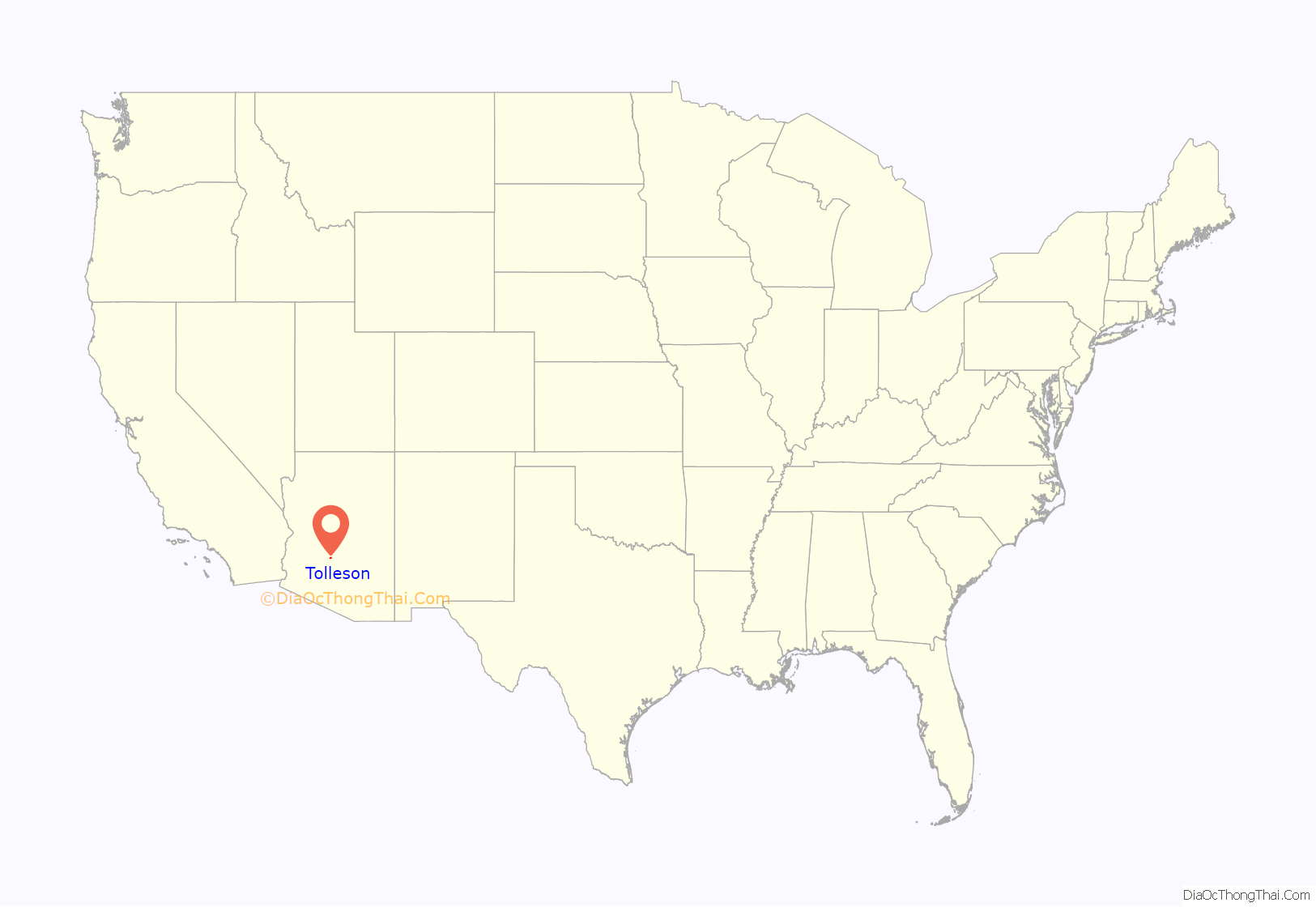
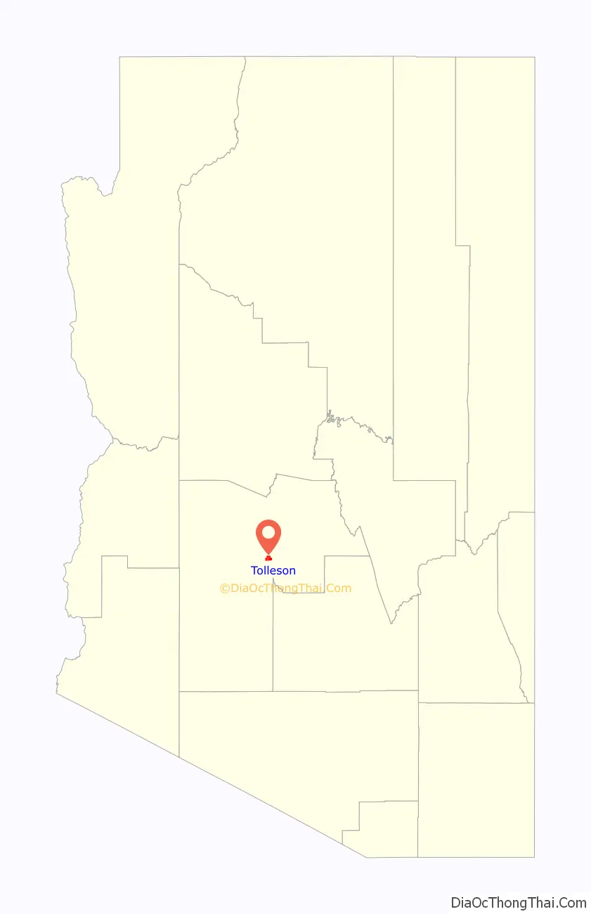
Tolleson location map. Where is Tolleson city?
History
The city was incorporated in 1929 and named after founder W.G. Tolleson.
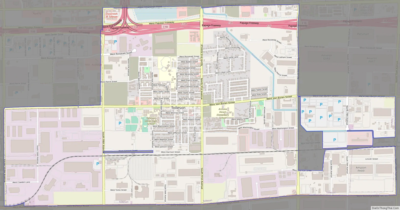
Tolleson Road Map
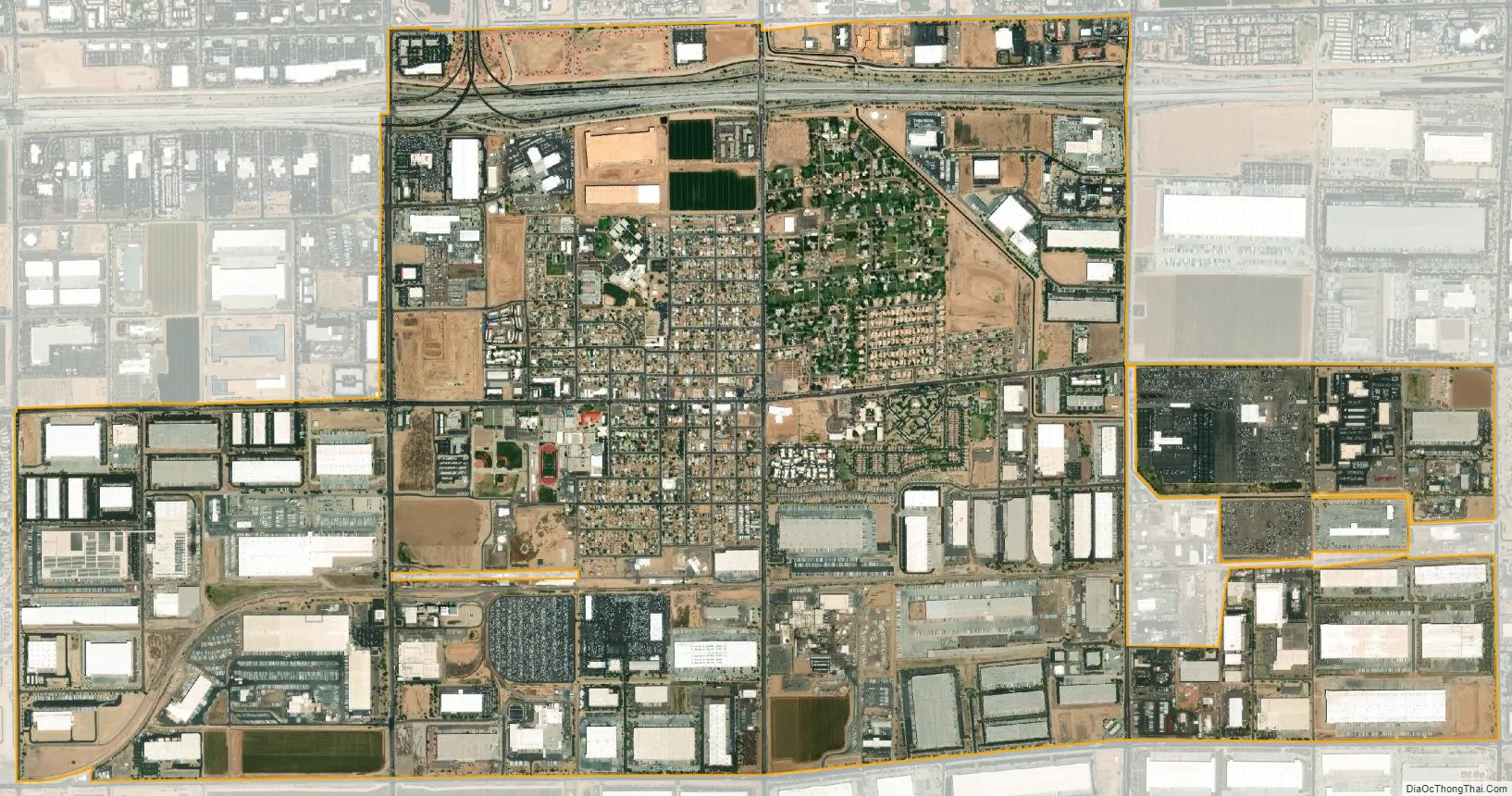
Tolleson city Satellite Map
Geography
Tolleson is located on the western side of the Phoenix metropolitan area. The community lies just south of I-10. The city of Avondale lies approximately 6 miles (10 km) to the southwest, and Fowler, a former unincorporated community now within the Phoenix city limits, is 3 miles (5 km) to the east. The Agua Fria River is about 4 miles (6 km) to the west.
According to the United States Census Bureau, the city of Tolleson has a total area of 5.7 square miles (15 km), all land.
See also
Map of Arizona State and its subdivision: Map of other states:- Alabama
- Alaska
- Arizona
- Arkansas
- California
- Colorado
- Connecticut
- Delaware
- District of Columbia
- Florida
- Georgia
- Hawaii
- Idaho
- Illinois
- Indiana
- Iowa
- Kansas
- Kentucky
- Louisiana
- Maine
- Maryland
- Massachusetts
- Michigan
- Minnesota
- Mississippi
- Missouri
- Montana
- Nebraska
- Nevada
- New Hampshire
- New Jersey
- New Mexico
- New York
- North Carolina
- North Dakota
- Ohio
- Oklahoma
- Oregon
- Pennsylvania
- Rhode Island
- South Carolina
- South Dakota
- Tennessee
- Texas
- Utah
- Vermont
- Virginia
- Washington
- West Virginia
- Wisconsin
- Wyoming


