Tonopah /ˈtoʊnoʊˌpɑː/ is an unincorporated community and census-designated place (CDP) in western Maricopa County, Arizona, United States, 52 miles (84 km) west of downtown Phoenix off Interstate 10. The community is near the Palo Verde Nuclear Generating Station, the largest power producer in the country, nuclear or otherwise. As of the 2020 census, the population of Tonopah was 23, down from 60 at the 2010 census.
It is located on the Tonopah Desert. Many wells in Tonopah are warm, in the 70 °F (21 °C) to 95 °F (35 °C) range, and many are hot; 110 °F (43 °C) to 120 °F (49 °C) wells are common. Prior to being called Tonopah, the settlement was known as “Lone Peak”.
The area is also known to have been inhabited by groups of people for resource gathering area of the Hohokam, Patayan, and Yavapai cultures.
| Name: | Tonopah CDP |
|---|---|
| LSAD Code: | 57 |
| LSAD Description: | CDP (suffix) |
| State: | Arizona |
| County: | Maricopa County |
| Elevation: | 1,490 ft (450 m) |
| Total Area: | 1.37 sq mi (3.54 km²) |
| Land Area: | 1.37 sq mi (3.54 km²) |
| Water Area: | 0.00 sq mi (0.00 km²) |
| Total Population: | 23 |
| Population Density: | 16.84/sq mi (6.50/km²) |
| ZIP code: | 85354 |
| Area code: | 623 and 928 |
| FIPS code: | 0474540 |
Online Interactive Map
Click on ![]() to view map in "full screen" mode.
to view map in "full screen" mode.
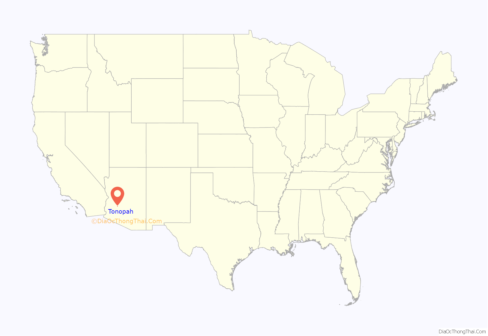
Tonopah location map. Where is Tonopah CDP?
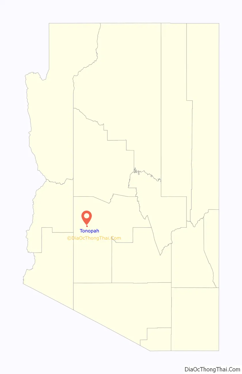
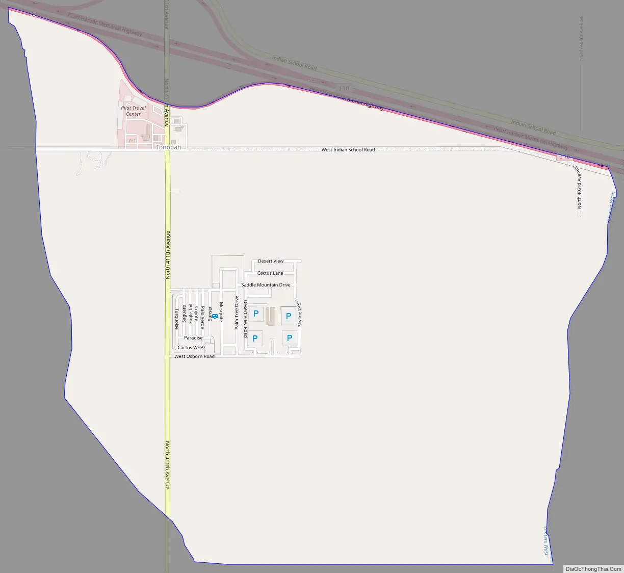
Tonopah Road Map
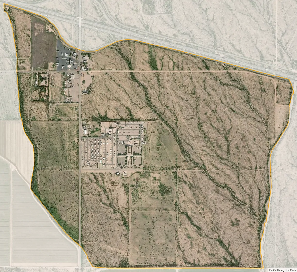
Tonopah city Satellite Map
See also
Map of Arizona State and its subdivision: Map of other states:- Alabama
- Alaska
- Arizona
- Arkansas
- California
- Colorado
- Connecticut
- Delaware
- District of Columbia
- Florida
- Georgia
- Hawaii
- Idaho
- Illinois
- Indiana
- Iowa
- Kansas
- Kentucky
- Louisiana
- Maine
- Maryland
- Massachusetts
- Michigan
- Minnesota
- Mississippi
- Missouri
- Montana
- Nebraska
- Nevada
- New Hampshire
- New Jersey
- New Mexico
- New York
- North Carolina
- North Dakota
- Ohio
- Oklahoma
- Oregon
- Pennsylvania
- Rhode Island
- South Carolina
- South Dakota
- Tennessee
- Texas
- Utah
- Vermont
- Virginia
- Washington
- West Virginia
- Wisconsin
- Wyoming


