Wikieup is an unincorporated community and census-designated place (CDP) located on U.S. Route 93 in Mohave County, Arizona, United States. It is located approximately 139 miles (224 km) northwest of Phoenix and 162 miles (261 km) southeast of Las Vegas. As of the 2020 census, the population of Wikieup was 135.
| Name: | Wikieup CDP |
|---|---|
| LSAD Code: | 57 |
| LSAD Description: | CDP (suffix) |
| State: | Arizona |
| County: | Mohave County |
| Elevation: | 1,997 ft (609 m) |
| Total Area: | 4.44 sq mi (11.49 km²) |
| Land Area: | 4.44 sq mi (11.49 km²) |
| Water Area: | 0.00 sq mi (0.00 km²) |
| Total Population: | 135 |
| Population Density: | 30.42/sq mi (11.75/km²) |
| ZIP code: | 85360 |
| Area code: | 928 |
| FIPS code: | 0482880 |
| GNISfeature ID: | 24690 |
Online Interactive Map
Click on ![]() to view map in "full screen" mode.
to view map in "full screen" mode.
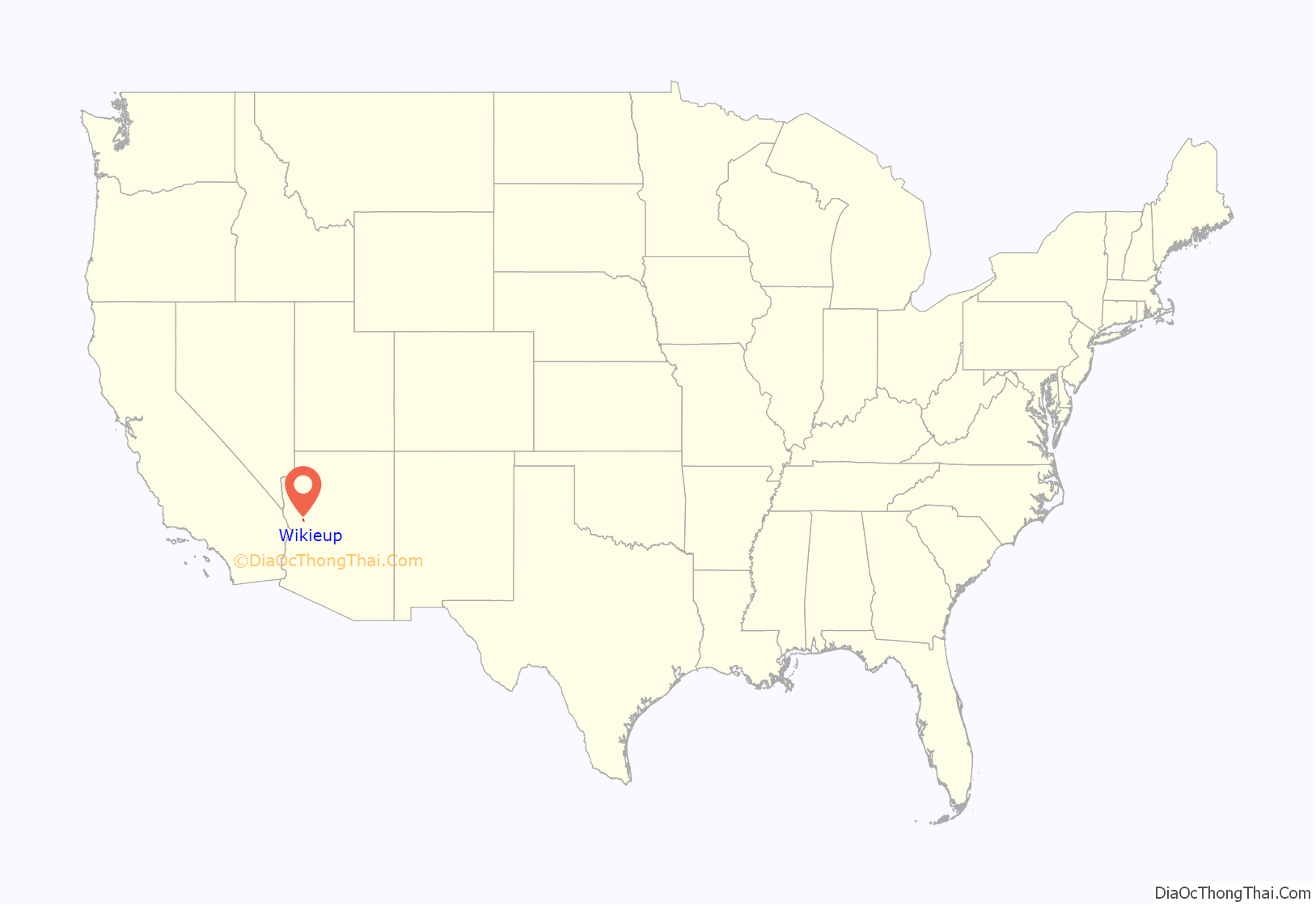
Wikieup location map. Where is Wikieup CDP?
History
There is a vandalized historic marker in Wikieup whose inscription once read:
“First exploration probably by early Spanish explorers, Espejo in 1582 and Farfan in 1589. Explored later by Lt. Amiel W. Whipple in 1854. Important agriculture, mining, milling, and smelting area in our early days. The McCrackin Mine discovered by Jackson McCrackin and H. A. “Chloride Jack” Owen in 1874, lies 18 miles south. The Signal Mine was 12 miles south. Stamp mills were at Greenwood, 8 miles southwest and at Virginia City, 9 miles southwest. Cofer Hot Springs 3 miles east.”
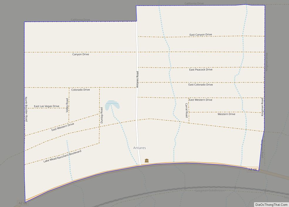
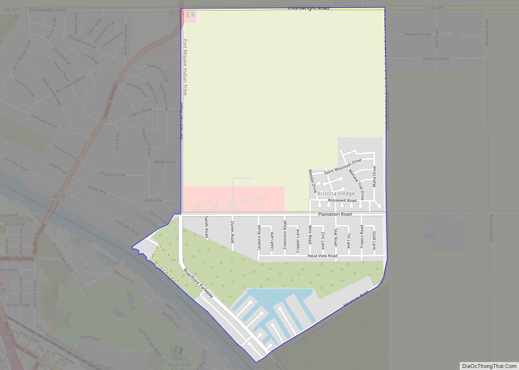
Wikieup Road Map
Wikieup city Satellite Map
Geography
Wikieup is in southeastern Mohave County in the valley of the Big Sandy River, between the Hualapai Mountains to the west and the Aquarius Mountains to the east. U.S. Route 93 passes through the community, leading northwest 54 miles (87 km) to Kingman, the Mohave county seat, and southeast 74 miles (119 km) to Wickenburg.
Climate
Wikieup has a hot desert climate (Köppen: BWh). The lowest recorded temperature was 14 °F (−10 °C) in 1990, with a high of 119 °F (48 °C) recorded in 1995. Average lows for January range from 33 to 64 °F (1 to 18 °C), with highs in July ranging from 68 to 105 °F (20 to 41 °C). Rainfall averages 9.88 inches (251 mm) annually.
See also
Map of Arizona State and its subdivision: Map of other states:- Alabama
- Alaska
- Arizona
- Arkansas
- California
- Colorado
- Connecticut
- Delaware
- District of Columbia
- Florida
- Georgia
- Hawaii
- Idaho
- Illinois
- Indiana
- Iowa
- Kansas
- Kentucky
- Louisiana
- Maine
- Maryland
- Massachusetts
- Michigan
- Minnesota
- Mississippi
- Missouri
- Montana
- Nebraska
- Nevada
- New Hampshire
- New Jersey
- New Mexico
- New York
- North Carolina
- North Dakota
- Ohio
- Oklahoma
- Oregon
- Pennsylvania
- Rhode Island
- South Carolina
- South Dakota
- Tennessee
- Texas
- Utah
- Vermont
- Virginia
- Washington
- West Virginia
- Wisconsin
- Wyoming
