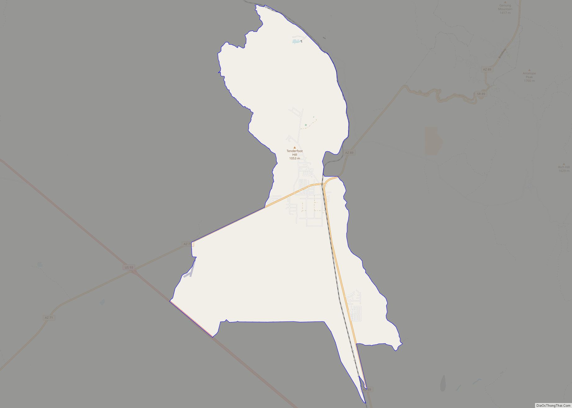
Williamson is a census-designated place (CDP) in Yavapai County, Arizona, United States. The population was 3,776 at the 2000 census and 6,196 at the 2020 census. The name “Wiliamson” is a misnomer, perhaps propagated by federal bureaucratic error; the area has long been known as “Williamson Valley” after the major road through the area, Williamson Valley Road.
| Name: | Williamson CDP |
|---|---|
| LSAD Code: | 57 |
| LSAD Description: | CDP (suffix) |
| State: | Arizona |
| County: | Yavapai County |
| Elevation: | 5,053 ft (1,540 m) |
| Total Area: | 58.15 sq mi (150.60 km²) |
| Land Area: | 58.15 sq mi (150.60 km²) |
| Water Area: | 0.00 sq mi (0.00 km²) |
| Total Population: | 6,196 |
| Population Density: | 106.56/sq mi (41.14/km²) |
| FIPS code: | 0483388 |
| GNISfeature ID: | 1875794 |
Online Interactive Map
Click on ![]() to view map in "full screen" mode.
to view map in "full screen" mode.
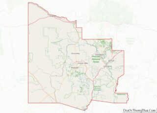
Williamson location map. Where is Williamson CDP?


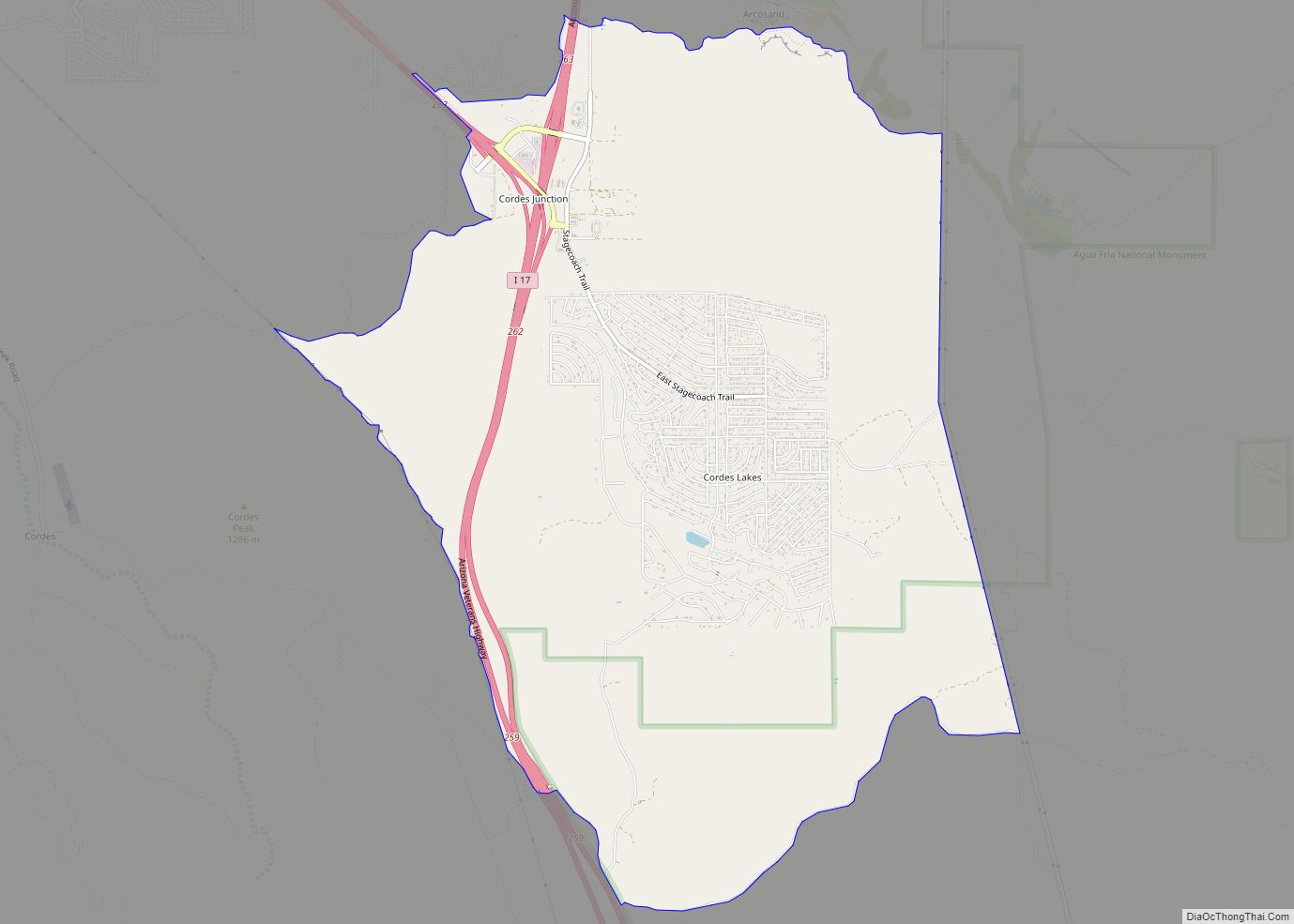
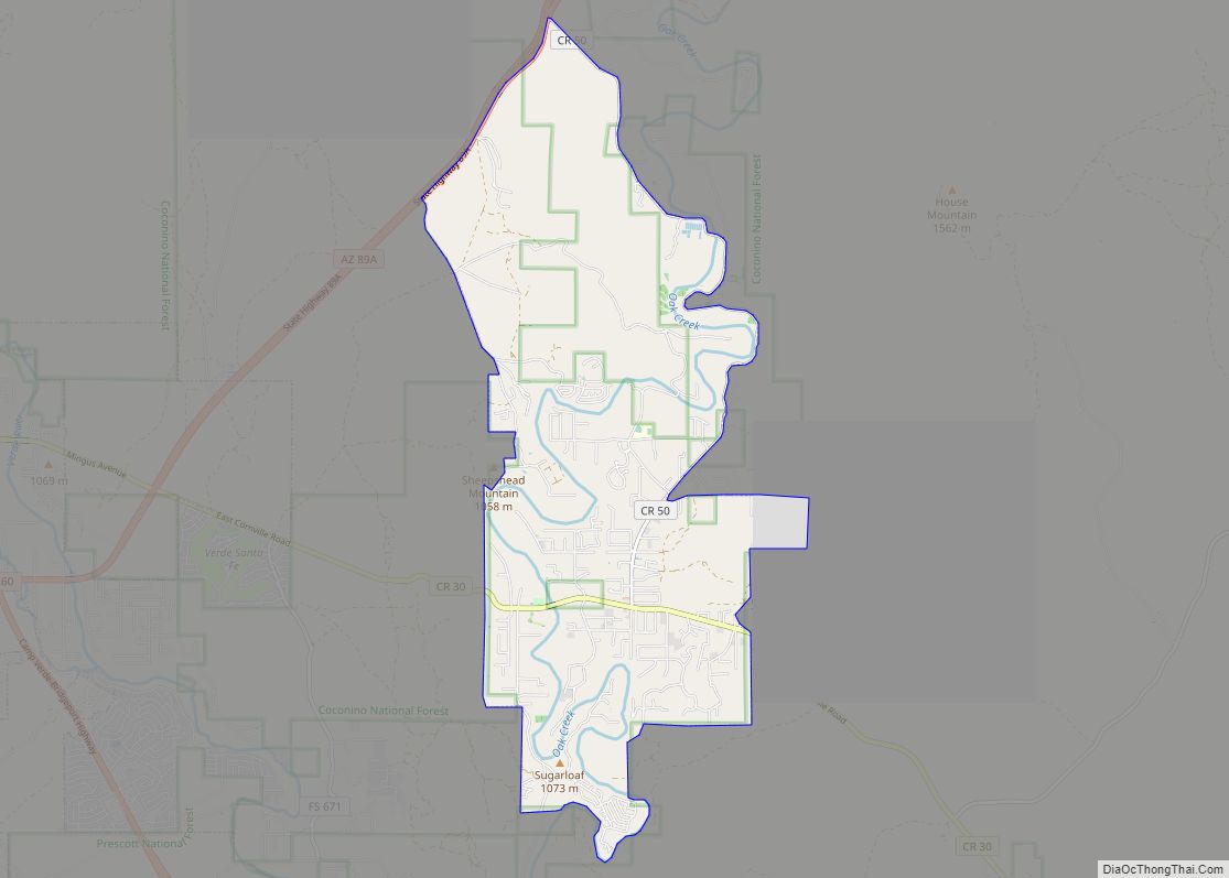
Williamson Road Map

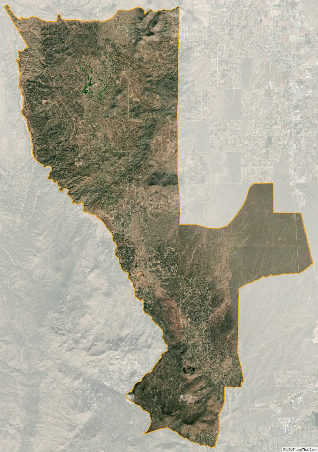
Williamson city Satellite Map
Geography
Williamson is located at 34°40′28″N 112°31′50″W / 34.67444°N 112.53056°W / 34.67444; -112.53056 (34.674552, -112.530445).
According to the United States Census Bureau, the CDP has a total area of 57.6 square miles (149 km), all land.
An attempt in 2009 to incorporate the area into a town failed after the neighboring town of Prescott voted against the proposal.
Part or all of the area of Williamson historically was referred to as Williamson Valley by area residents and by the county’s Board of Supervisors, County Planning Commission, and staff. alike. In a County plan, however, “only the northern portion of the plan area is ‘Williamson Valley.’ The southern portion was long ago called Mint Valley“.
See also
Map of Arizona State and its subdivision: Map of other states:- Alabama
- Alaska
- Arizona
- Arkansas
- California
- Colorado
- Connecticut
- Delaware
- District of Columbia
- Florida
- Georgia
- Hawaii
- Idaho
- Illinois
- Indiana
- Iowa
- Kansas
- Kentucky
- Louisiana
- Maine
- Maryland
- Massachusetts
- Michigan
- Minnesota
- Mississippi
- Missouri
- Montana
- Nebraska
- Nevada
- New Hampshire
- New Jersey
- New Mexico
- New York
- North Carolina
- North Dakota
- Ohio
- Oklahoma
- Oregon
- Pennsylvania
- Rhode Island
- South Carolina
- South Dakota
- Tennessee
- Texas
- Utah
- Vermont
- Virginia
- Washington
- West Virginia
- Wisconsin
- Wyoming